Off-Road Trails in Michigan
Discover off-road trails in Michigan
Learn more about Aral Road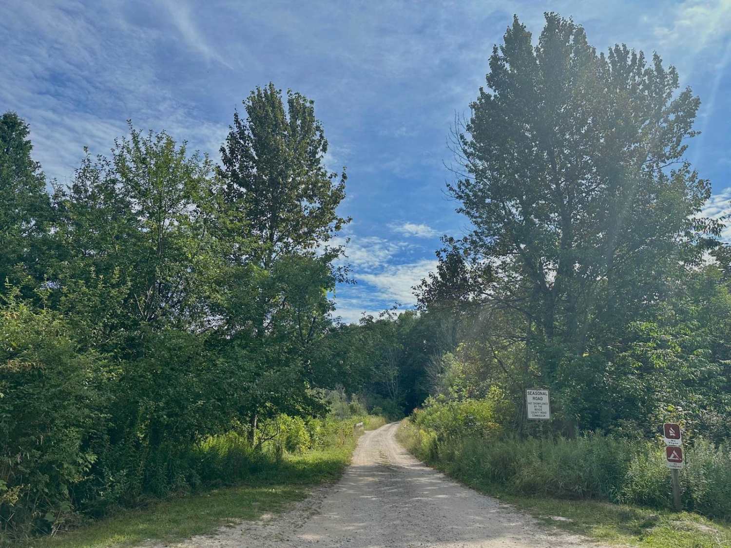
Aral Road
Total Miles
1.2
Tech Rating
Easy
Best Time
Spring, Summer, Fall, Winter
Learn more about Arbutus - FS 3144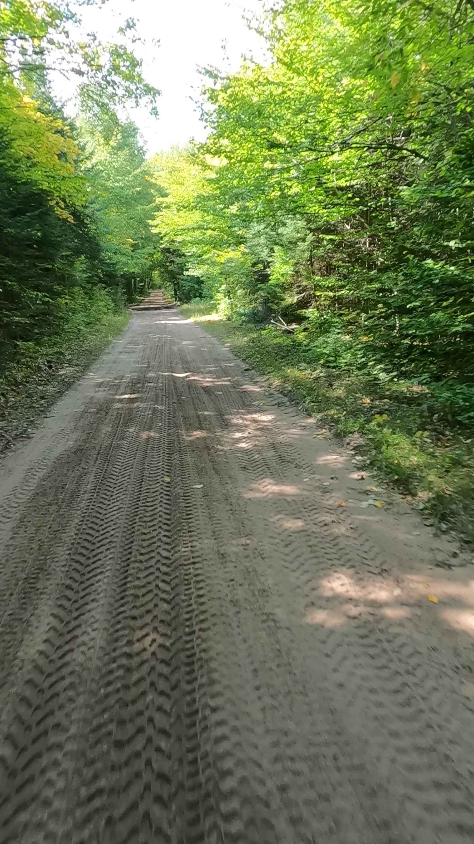
Arbutus - FS 3144
Total Miles
7.2
Tech Rating
Easy
Best Time
Spring, Summer, Fall
Learn more about Artillery Range Loop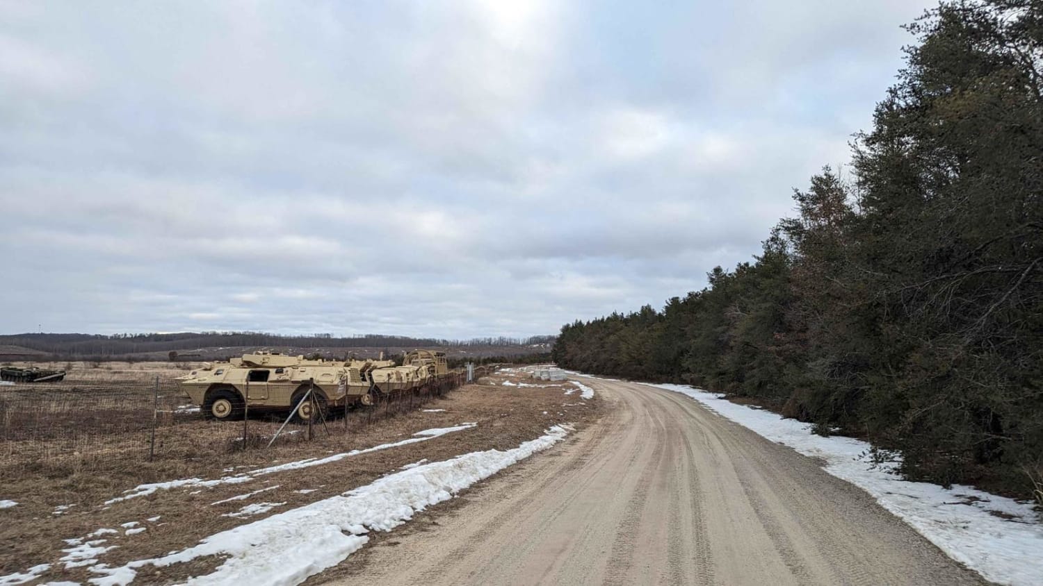
Artillery Range Loop
Total Miles
6.5
Tech Rating
Easy
Best Time
Spring, Summer, Fall, Winter
Learn more about ASG Trail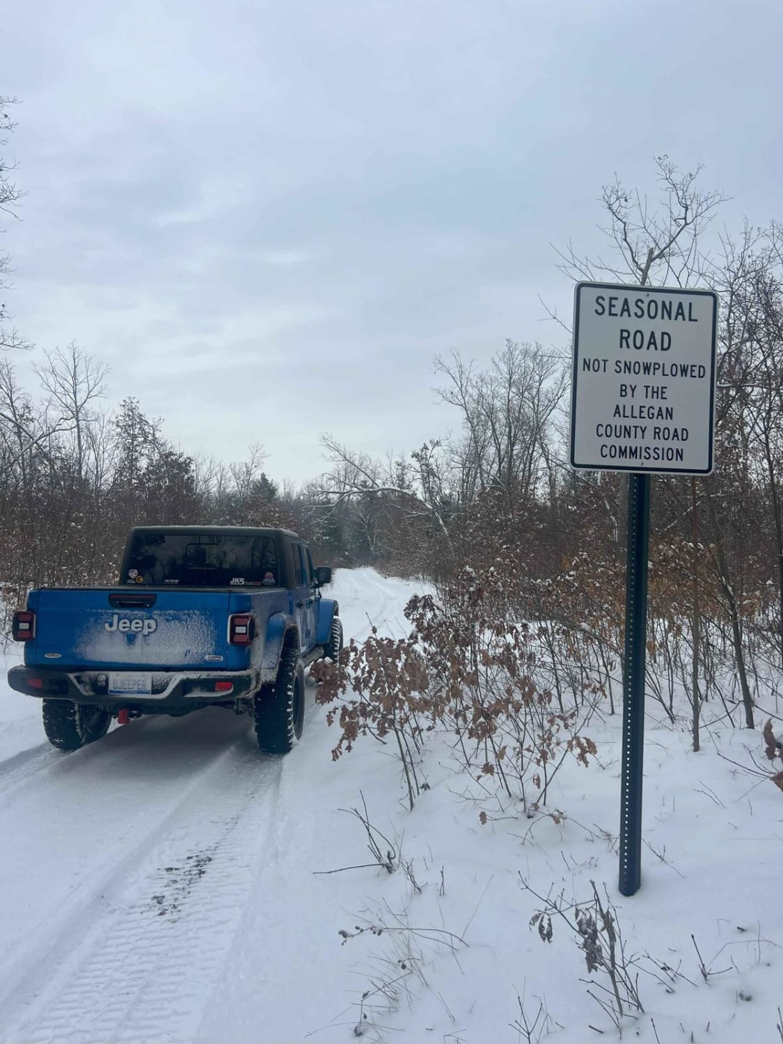
ASG Trail
Total Miles
1.0
Tech Rating
Easy
Best Time
Spring, Summer, Fall, Winter
Learn more about Aspen Trail (NFS 6295)
Aspen Trail (NFS 6295)
Total Miles
1.1
Tech Rating
Easy
Best Time
Spring, Summer, Fall, Winter
Learn more about Atlanta North
Atlanta North
Total Miles
17.9
Tech Rating
Moderate
Best Time
Summer, Fall, Spring
Learn more about Atlanta South
Atlanta South
Total Miles
42.7
Tech Rating
Moderate
Best Time
Spring, Summer, Fall
Learn more about Atlanta trail head LP 4 & 9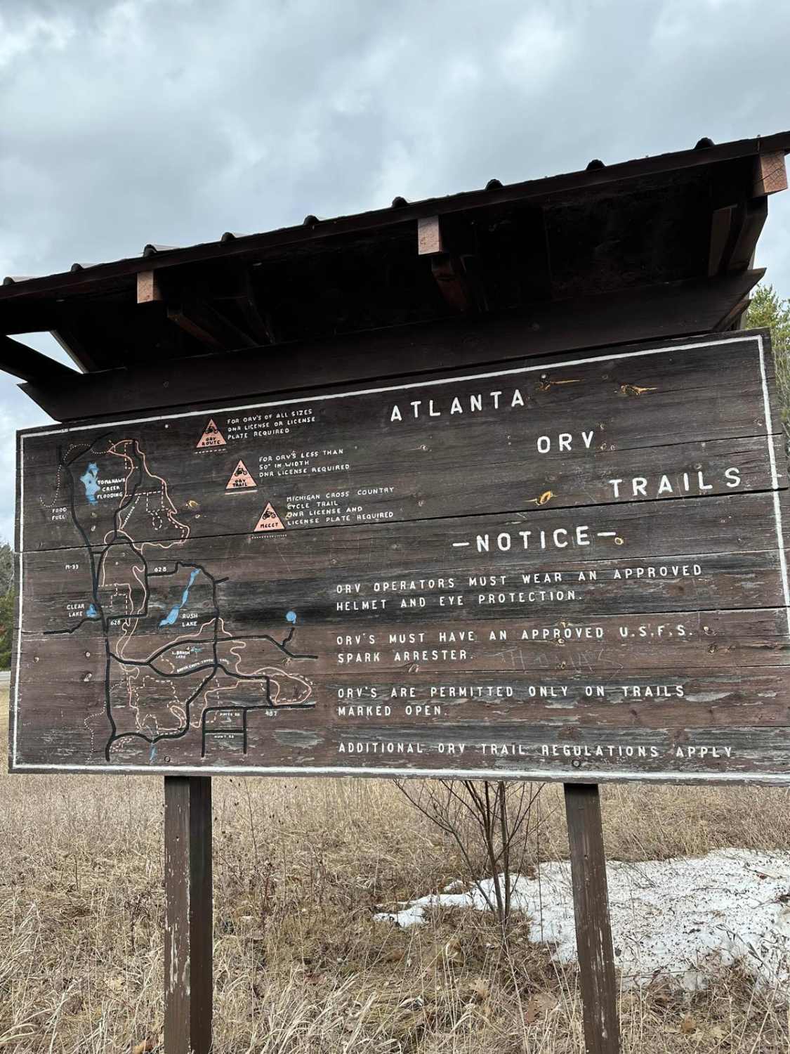
Atlanta trail head LP 4 & 9
Total Miles
2.3
Tech Rating
Easy
Best Time
Spring, Summer, Fall
Learn more about Atlanta Trail's - Center Loop
Atlanta Trail's - Center Loop
Total Miles
18.5
Tech Rating
Moderate
Best Time
Summer, Fall
Learn more about Austin Road to Forest Road 9844
Austin Road to Forest Road 9844
Total Miles
2.5
Tech Rating
Easy
Best Time
Spring
Learn more about Avery - FS 3366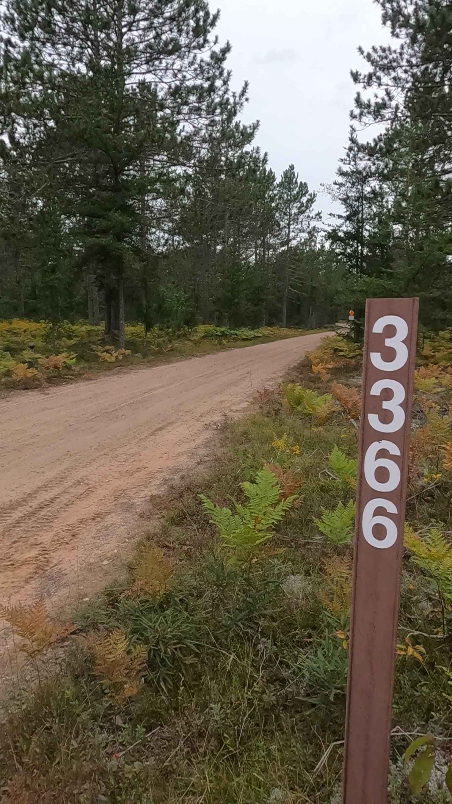
Avery - FS 3366
Total Miles
5.8
Tech Rating
Easy
Best Time
Spring, Summer, Fall
Learn more about Avery Lake Sidetrack
Avery Lake Sidetrack
Total Miles
2.6
Tech Rating
Easy
Best Time
Summer
Learn more about Avery South - FS 3622
Avery South - FS 3622
Total Miles
6.7
Tech Rating
Easy
Best Time
Spring, Summer, Fall
Learn more about Aylsworth Road Part 1
Aylsworth Road Part 1
Total Miles
1.4
Tech Rating
Easy
Best Time
Spring, Summer, Fall
Learn more about Aylsworth Road Part 2
Aylsworth Road Part 2
Total Miles
3.0
Tech Rating
Easy
Best Time
Spring, Summer, Fall
Learn more about Aylsworth Road Part 3
Aylsworth Road Part 3
Total Miles
1.1
Tech Rating
Easy
Best Time
Spring, Summer, Fall
Learn more about Baby Diaper
Baby Diaper
Total Miles
2.5
Tech Rating
Moderate
Best Time
Spring, Summer, Fall, Winter
Learn more about Baby Nut Check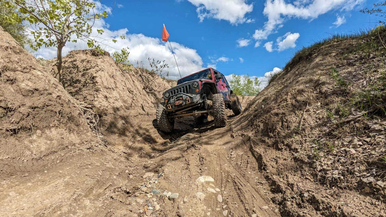
Baby Nut Check
Total Miles
0.1
Tech Rating
Moderate
Best Time
Spring, Summer, Fall, Winter
Learn more about Back Country Route to Crisp Point Lighthouse
Back Country Route to Crisp Point Lighthouse
Total Miles
18.1
Tech Rating
Easy
Best Time
Spring, Summer, Fall, Winter
ATV trails in Michigan
Learn more about 1039 Pine Trail
1039 Pine Trail
Total Miles
0.6
Tech Rating
Easy
Best Time
Spring, Summer, Fall, Winter
Learn more about 115th Avenue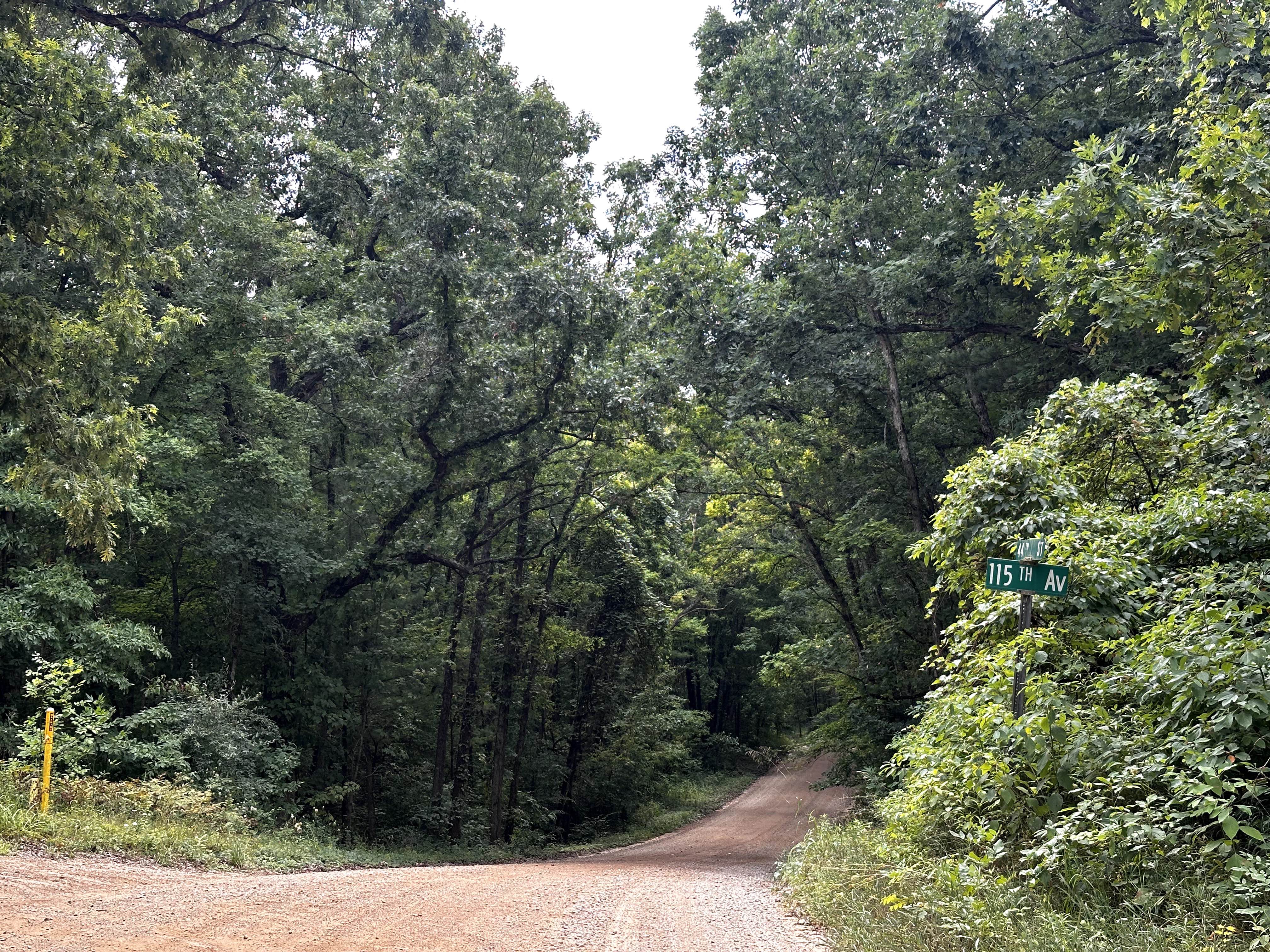
115th Avenue
Total Miles
3.0
Tech Rating
Easy
Best Time
Spring, Summer, Winter, Fall
Learn more about 116th Avenue
116th Avenue
Total Miles
5.0
Tech Rating
Easy
Best Time
Spring, Summer, Fall, Winter
Learn more about 126th Avenue
126th Avenue
Total Miles
3.1
Tech Rating
Easy
Best Time
Spring, Summer, Fall, Winter
UTV/side-by-side trails in Michigan
Learn more about 1039 Pine Trail
1039 Pine Trail
Total Miles
0.6
Tech Rating
Easy
Best Time
Spring, Summer, Fall, Winter
Learn more about 115th Avenue
115th Avenue
Total Miles
3.0
Tech Rating
Easy
Best Time
Spring, Summer, Winter, Fall
Learn more about 116th Avenue
116th Avenue
Total Miles
5.0
Tech Rating
Easy
Best Time
Spring, Summer, Fall, Winter
Learn more about 126th Avenue
126th Avenue
Total Miles
3.1
Tech Rating
Easy
Best Time
Spring, Summer, Fall, Winter
The onX Offroad Difference
onX Offroad combines trail photos, descriptions, difficulty ratings, width restrictions, seasonality, and more in a user-friendly interface. Available on all devices, with offline access and full compatibility with CarPlay and Android Auto. Discover what you’re missing today!