Off-Road Trails in Louisiana
Discover off-road trails in Louisiana
Learn more about Sherburne Wildlife Management Area (WMA) Trail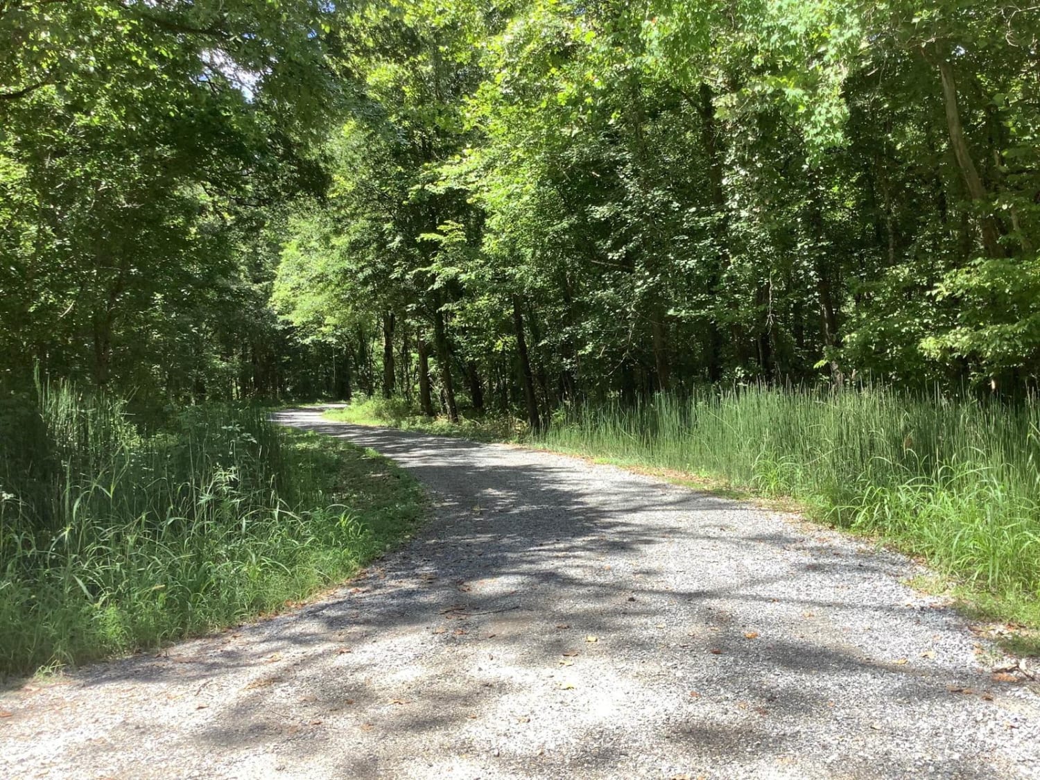
Sherburne Wildlife Management Area (WMA) Trail
Total Miles
20.1
Tech Rating
Easy
Best Time
Spring, Summer, Fall, Winter
Learn more about Silver Creek Crossings
Silver Creek Crossings
Total Miles
0.5
Tech Rating
Moderate
Best Time
Spring
Learn more about Stone Hindge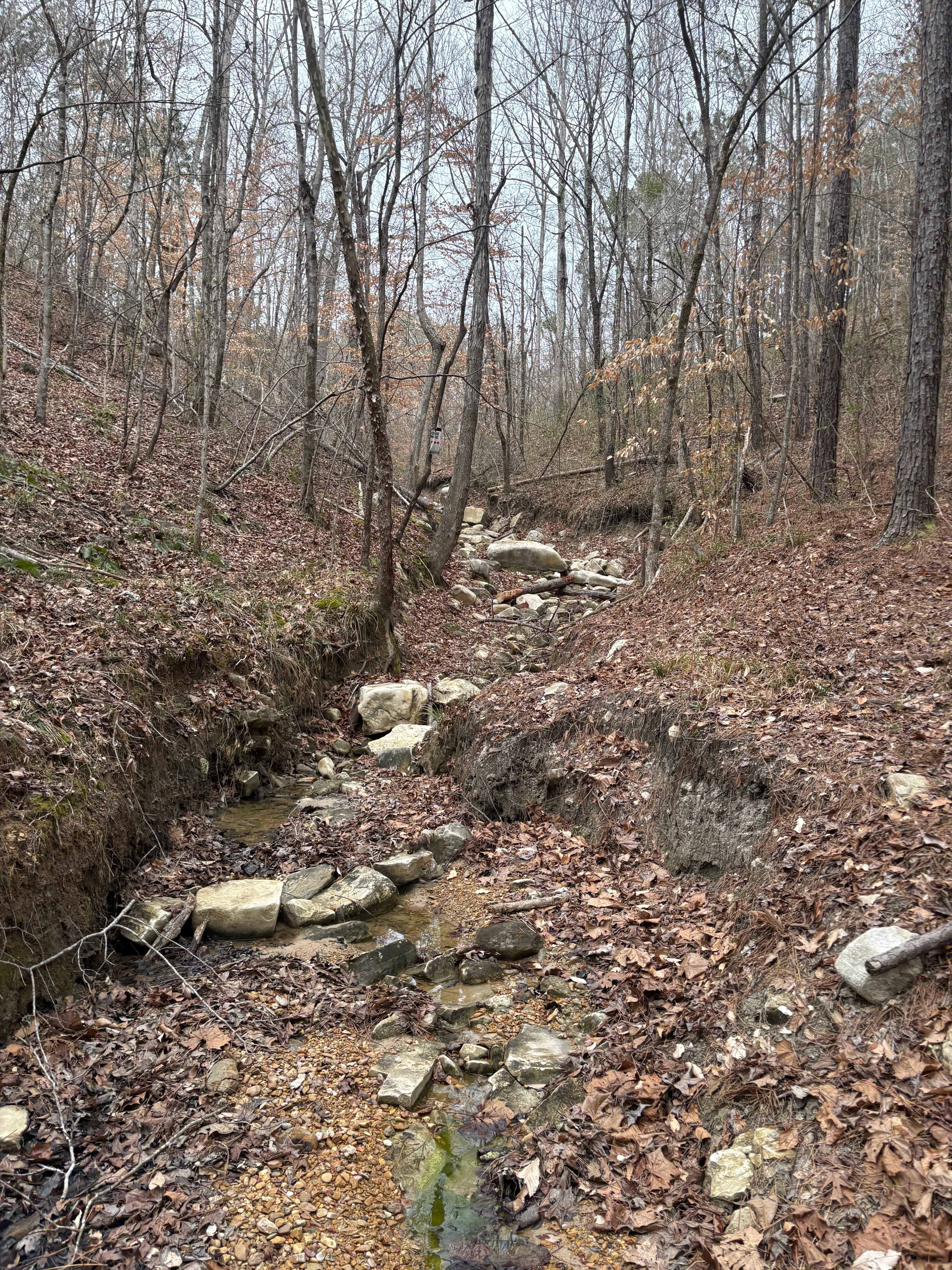
Stone Hindge
Total Miles
0.1
Tech Rating
Difficult
Best Time
Spring, Summer, Fall, Winter
Learn more about Sugar Creek Road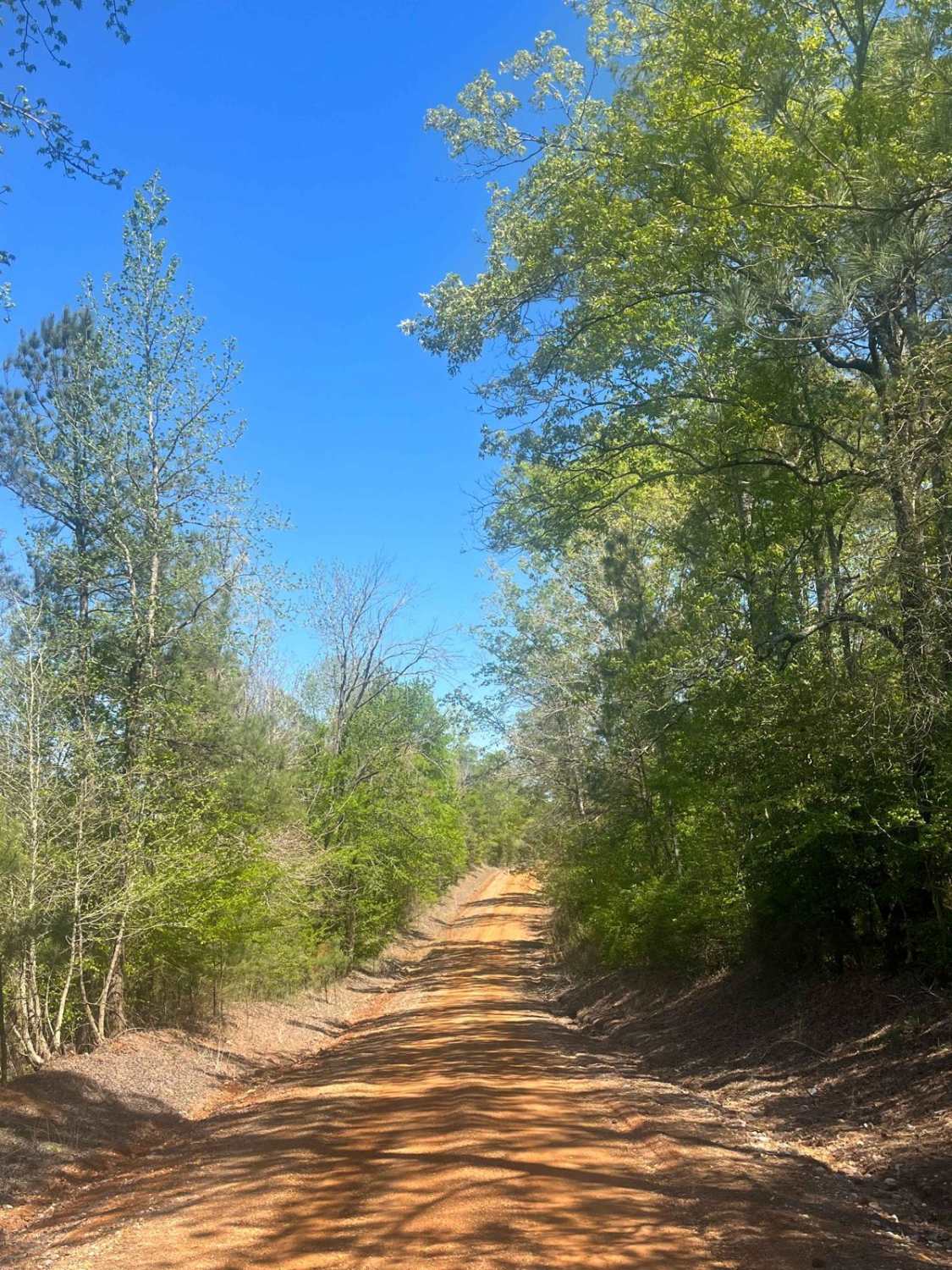
Sugar Creek Road
Total Miles
4.4
Tech Rating
Easy
Best Time
Spring, Summer, Fall, Winter
Learn more about The Arkansas Overland Route - TrailHawk Loop - Section 22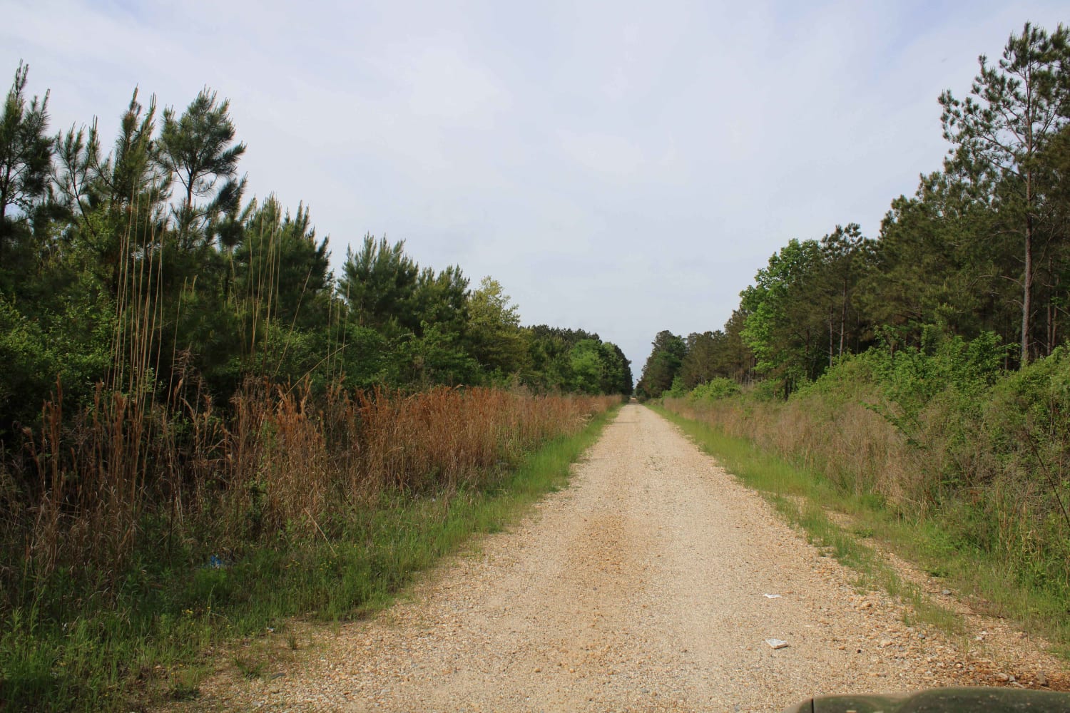
The Arkansas Overland Route - TrailHawk Loop - Section 22
Total Miles
3.9
Tech Rating
Easy
Best Time
Spring, Summer, Fall, Winter
Learn more about The Arkansas Overland Route - TrailHawk Loop - Section 23
The Arkansas Overland Route - TrailHawk Loop - Section 23
Total Miles
8.5
Tech Rating
Easy
Best Time
Summer, Fall, Winter, Spring
Learn more about The Arkansas Overland Route - TrailHawk Loop - Section 24
The Arkansas Overland Route - TrailHawk Loop - Section 24
Total Miles
10.1
Tech Rating
Easy
Best Time
Spring, Summer, Fall, Winter
Learn more about The Arkansas Overland Route - TrailHawk Loop - Section 25
The Arkansas Overland Route - TrailHawk Loop - Section 25
Total Miles
34.9
Tech Rating
Easy
Best Time
Spring, Summer, Fall, Winter
Learn more about The Arkansas Overland Route - TrailHawk Loop - Section 26
The Arkansas Overland Route - TrailHawk Loop - Section 26
Total Miles
23.5
Tech Rating
Easy
Best Time
Spring, Summer, Fall, Winter
Learn more about The Dead End Barrel
The Dead End Barrel
Total Miles
7.6
Tech Rating
Easy
Best Time
Spring, Summer, Fall, Winter
Learn more about Three Rivers WMA - Grand Bay Trail
Three Rivers WMA - Grand Bay Trail
Total Miles
6.5
Tech Rating
Easy
Best Time
Spring, Summer, Fall, Winter
Learn more about To Yankee Springs Road
To Yankee Springs Road
Total Miles
5.7
Tech Rating
Easy
Best Time
Spring, Summer, Fall, Winter


Learn more about Tunica Hills WMA Trail 1
Tunica Hills WMA Trail 1
Total Miles
7.0
Tech Rating
Easy
Best Time
Spring, Summer, Fall, Winter
Learn more about Vernon Eros Road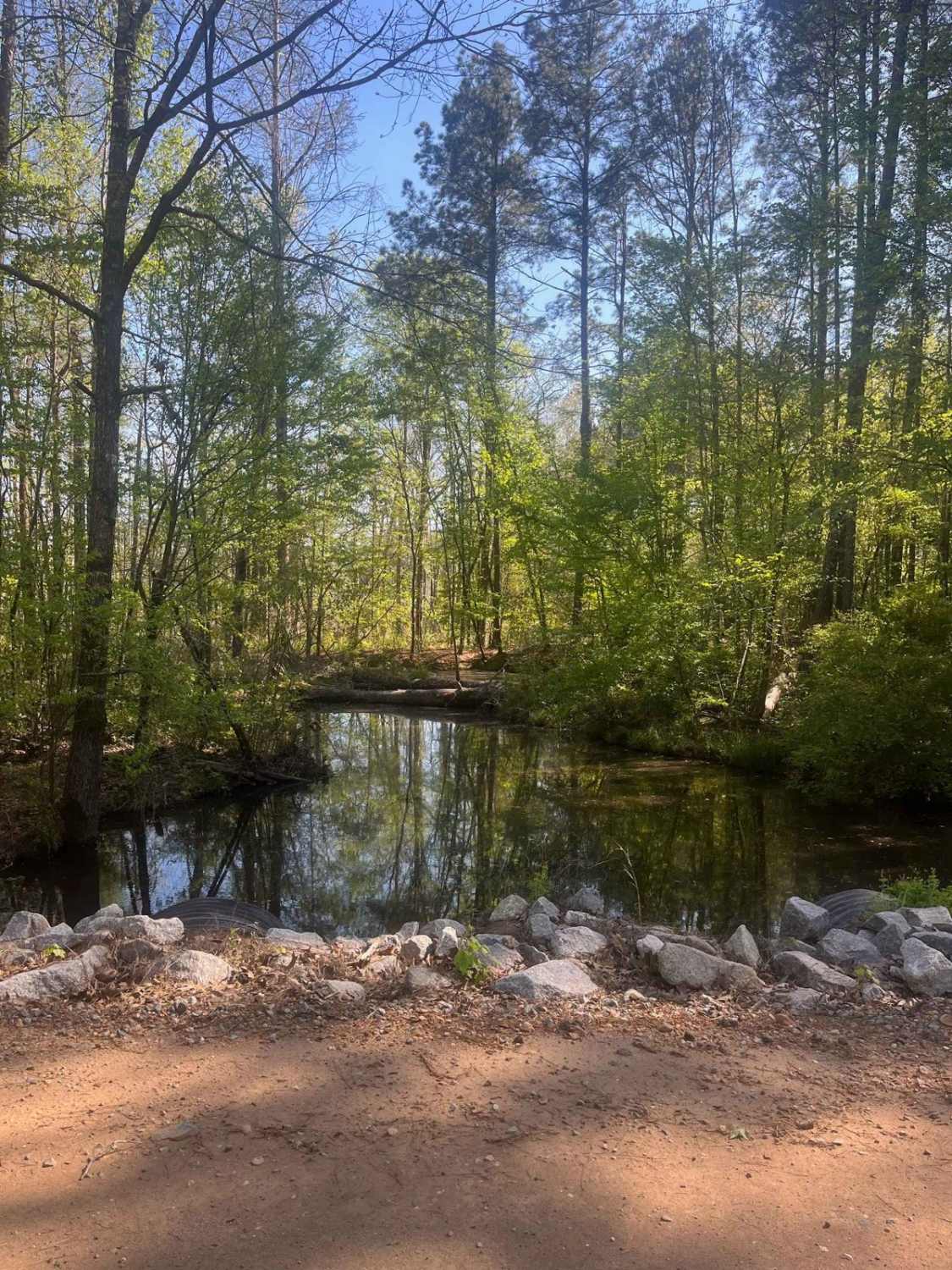
Vernon Eros Road
Total Miles
5.1
Tech Rating
Easy
Best Time
Spring, Summer, Winter, Fall
ATV trails in Louisiana
Learn more about 5338-W022B
5338-W022B
Total Miles
2.2
Tech Rating
Moderate
Best Time
Spring, Summer, Fall, Winter
Learn more about Beach Lane
Beach Lane
Total Miles
1.0
Tech Rating
Easy
Best Time
Spring, Summer, Fall, Winter
Learn more about Bottom Road
Bottom Road
Total Miles
0.3
Tech Rating
Easy
Best Time
Spring, Summer, Fall, Winter

UTV/side-by-side trails in Louisiana
Learn more about 5338-W022B
5338-W022B
Total Miles
2.2
Tech Rating
Moderate
Best Time
Spring, Summer, Fall, Winter
Learn more about Beach Lane
Beach Lane
Total Miles
1.0
Tech Rating
Easy
Best Time
Spring, Summer, Fall, Winter
Learn more about Beulah Church Road
Beulah Church Road
Total Miles
7.2
Tech Rating
Easy
Best Time
Spring, Summer, Fall, Winter
Learn more about Bottom Road
Bottom Road
Total Miles
0.3
Tech Rating
Easy
Best Time
Spring, Summer, Fall, Winter
The onX Offroad Difference
onX Offroad combines trail photos, descriptions, difficulty ratings, width restrictions, seasonality, and more in a user-friendly interface. Available on all devices, with offline access and full compatibility with CarPlay and Android Auto. Discover what you’re missing today!