Off-Road Trails in Louisiana
Discover off-road trails in Louisiana
Learn more about Kistatchie National Forest - Barron and Williams Road 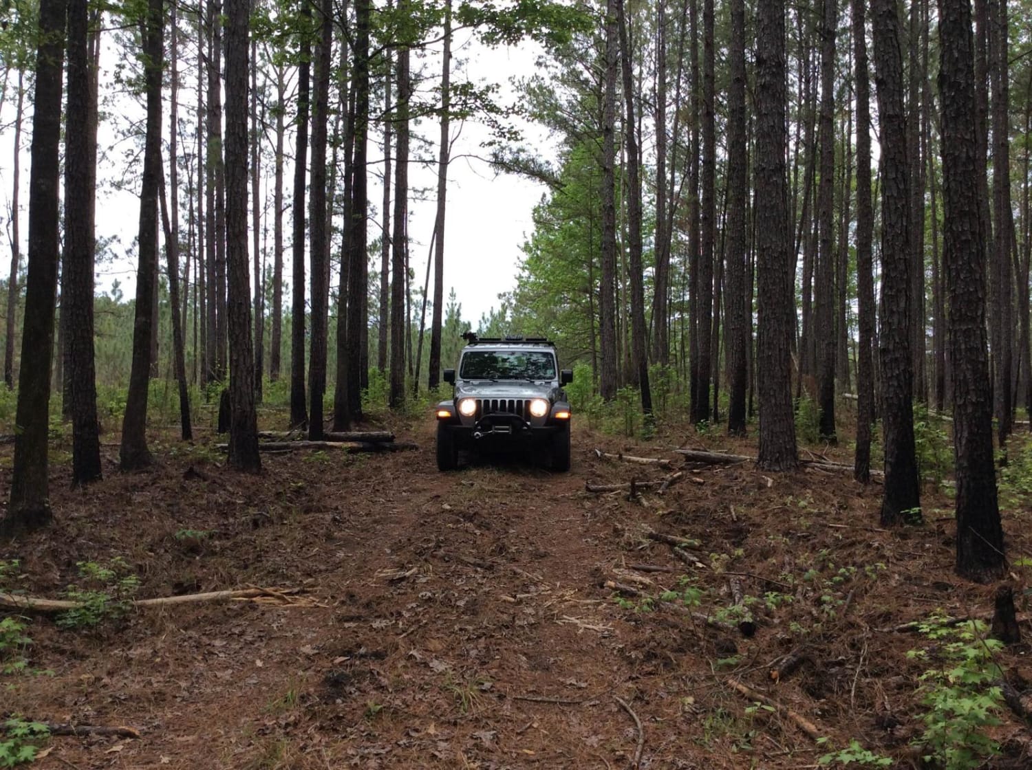
Kistatchie National Forest - Barron and Williams Road
Total Miles
3.8
Tech Rating
Easy
Best Time
Summer, Spring, Fall, Winter
Learn more about Kurthwood Road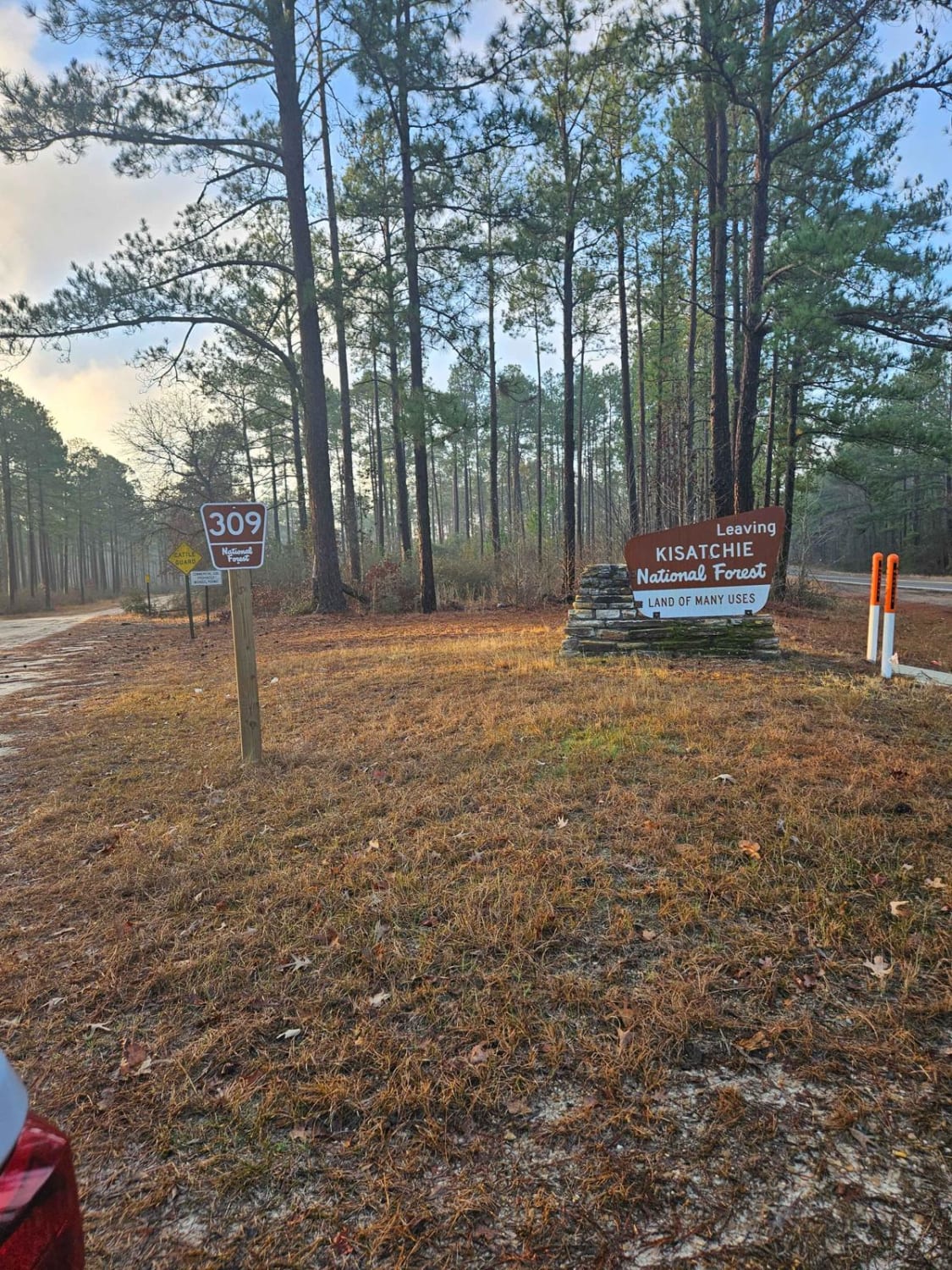
Kurthwood Road
Total Miles
6.2
Tech Rating
Easy
Best Time
Spring, Summer, Fall, Winter
Learn more about Longleaf Route
Longleaf Route
Total Miles
6.4
Tech Rating
Easy
Best Time
Spring, Summer, Fall
Learn more about Main Park Trail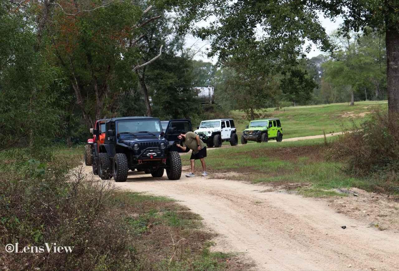
Main Park Trail
Total Miles
1.1
Tech Rating
Easy
Best Time
Spring, Fall, Summer, Winter
Learn more about Mountain Road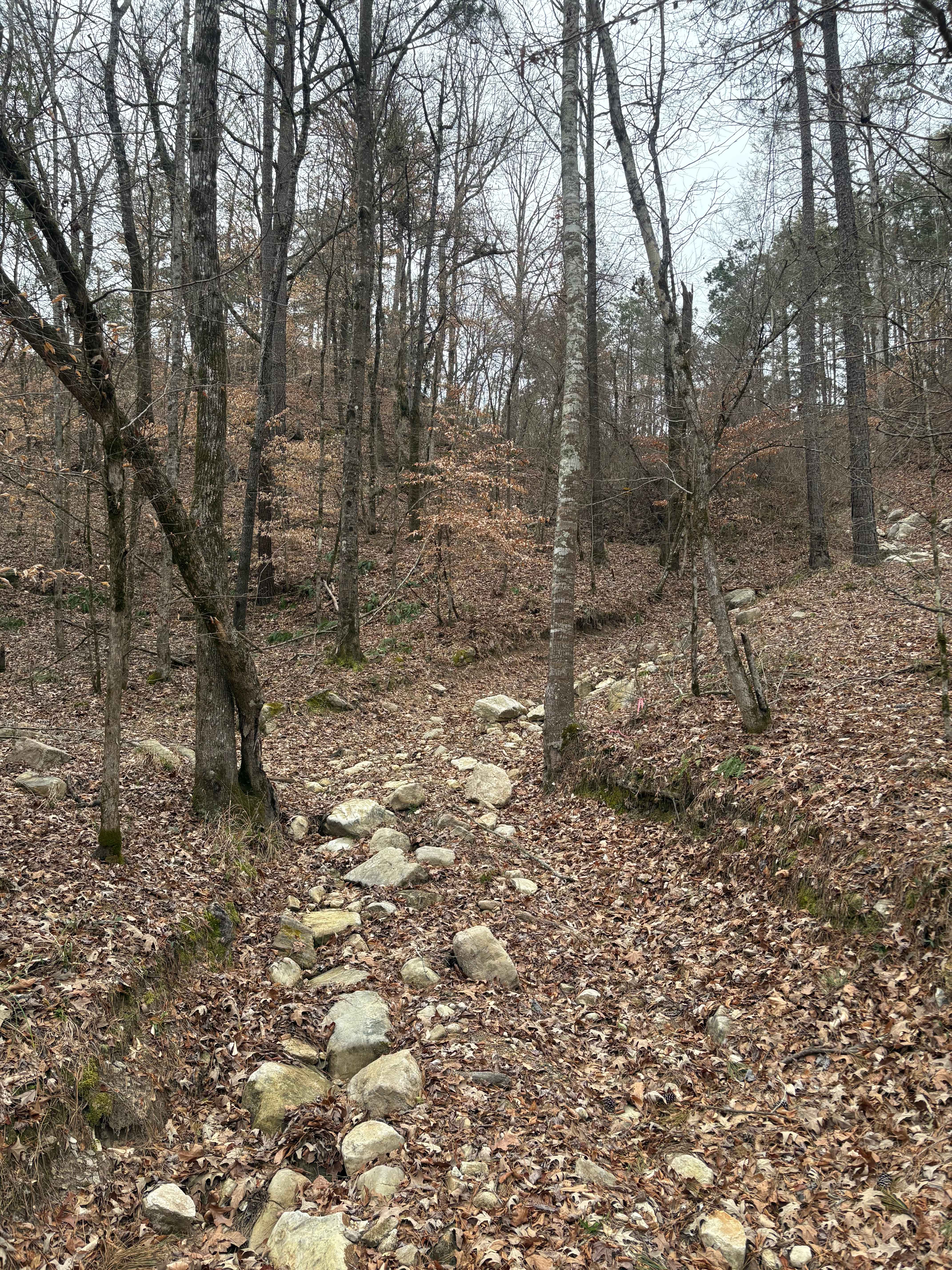
Mountain Road
Total Miles
0.1
Tech Rating
Moderate
Best Time
Spring, Summer, Fall, Winter
Learn more about Nope Rope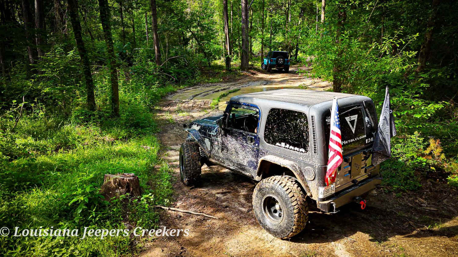
Nope Rope
Total Miles
1.7
Tech Rating
Difficult
Best Time
Spring, Summer, Fall, Winter
Learn more about North Shore Drive on Corney Lake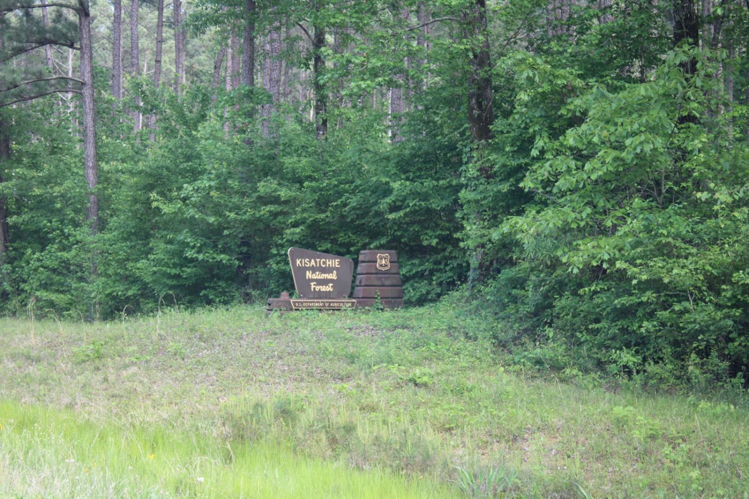
North Shore Drive on Corney Lake
Total Miles
3.8
Tech Rating
Easy
Best Time
Spring, Summer, Fall, Winter
Learn more about Old Creek Bed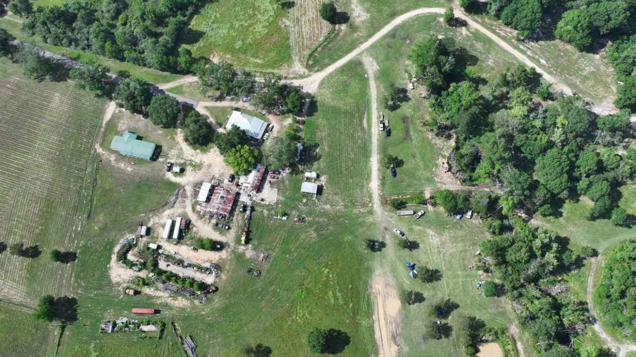
Old Creek Bed
Total Miles
0.1
Tech Rating
Easy
Best Time
Spring, Summer, Fall, Winter
Learn more about Old Tunica Road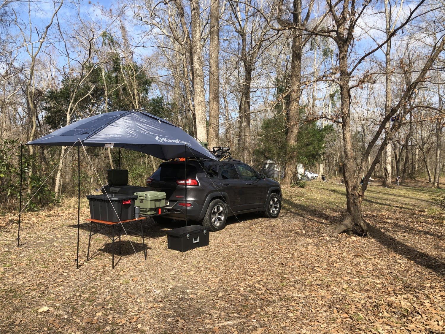
Old Tunica Road
Total Miles
6.9
Tech Rating
Easy
Best Time
Fall, Summer, Spring, Winter
Learn more about Olde River Trail
Olde River Trail
Total Miles
0.5
Tech Rating
Moderate
Best Time
Spring, Summer, Fall, Winter
Learn more about Peterson to Cloud Xing Road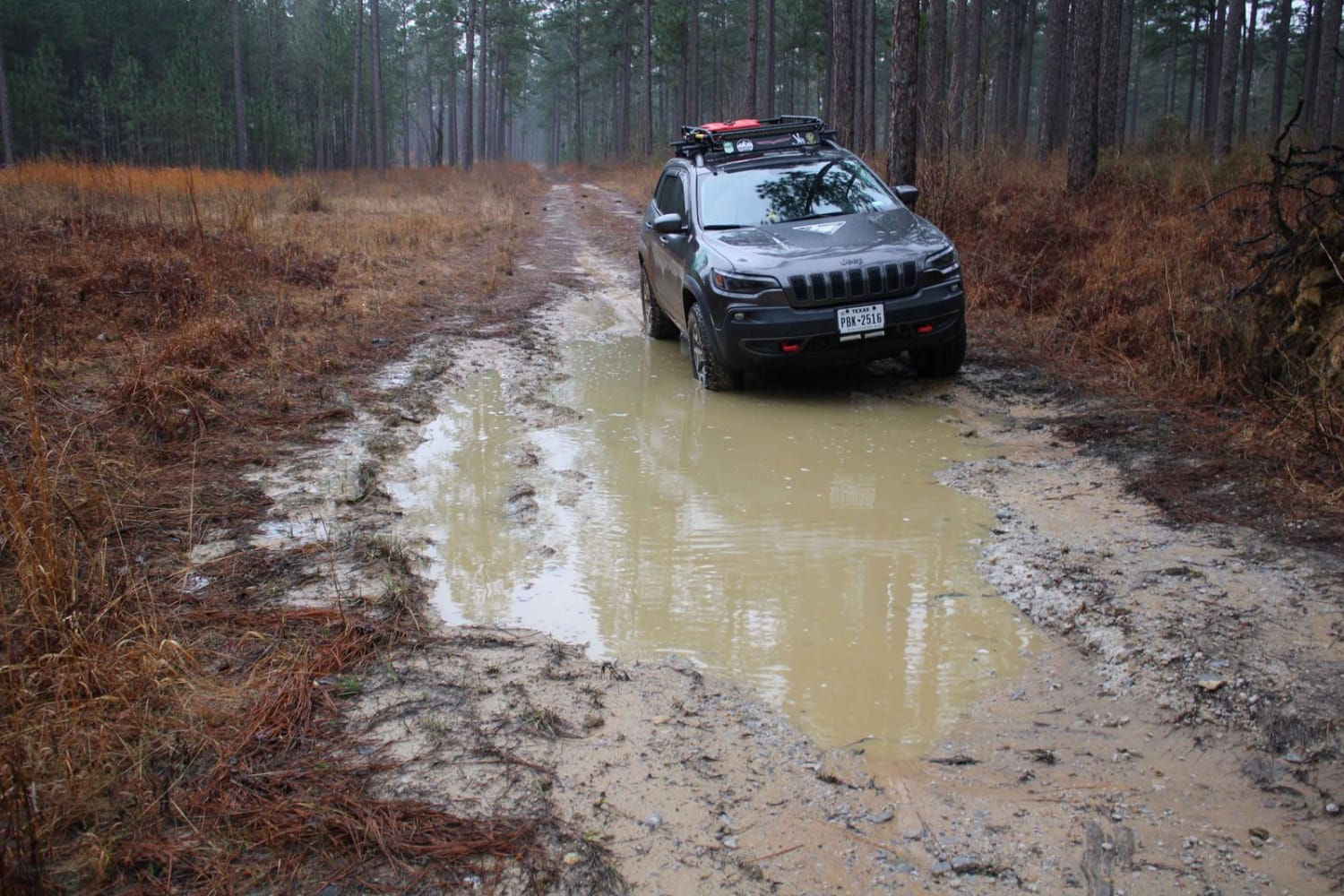
Peterson to Cloud Xing Road
Total Miles
5.7
Tech Rating
Easy
Best Time
Spring, Summer, Fall, Winter
Learn more about Plane Road (545)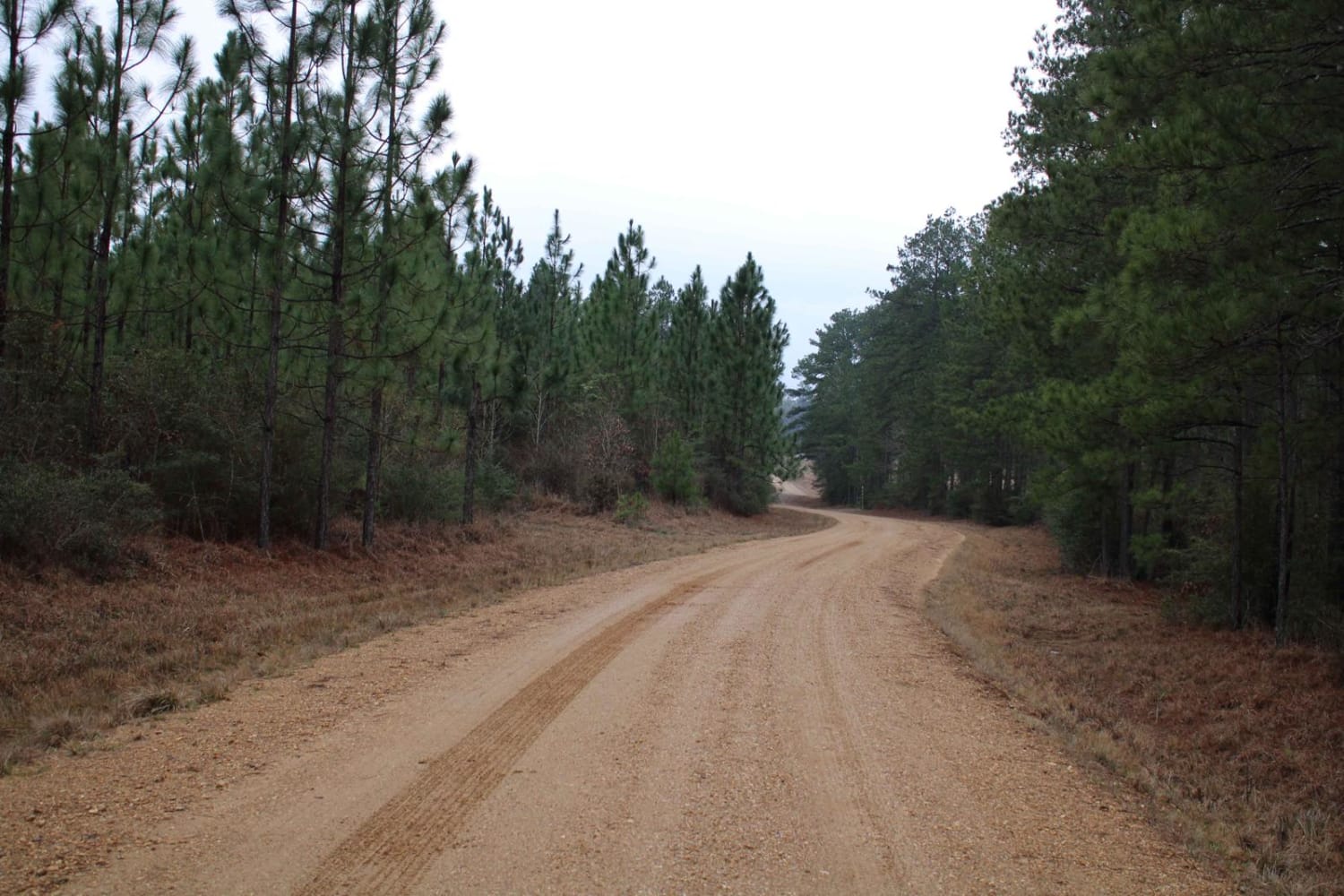
Plane Road (545)
Total Miles
4.6
Tech Rating
Easy
Best Time
Spring, Summer, Fall, Winter
Learn more about Ramsey Hill Road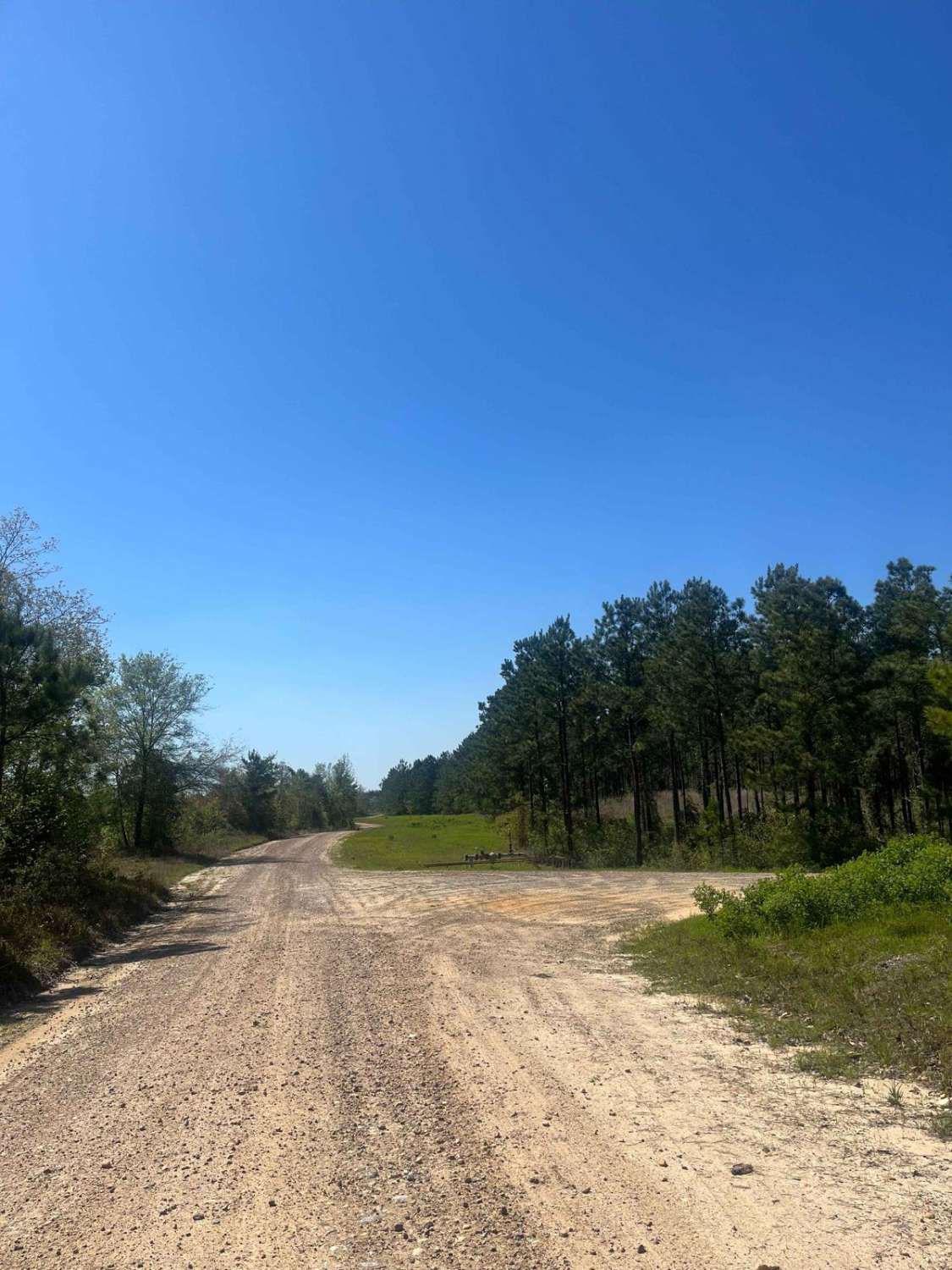
Ramsey Hill Road
Total Miles
5.4
Tech Rating
Easy
Best Time
Spring, Fall, Summer, Winter
Learn more about Red River Levee Trail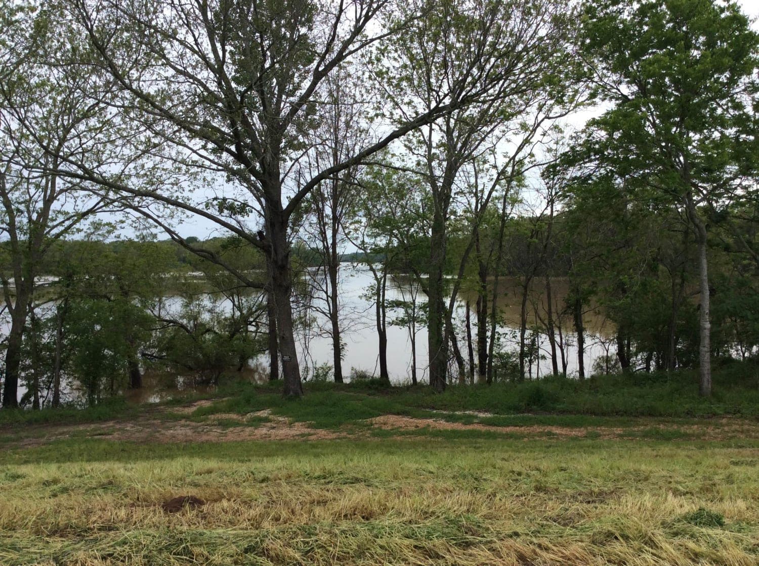
Red River Levee Trail
Total Miles
11.6
Tech Rating
Easy
Best Time
Spring, Summer, Fall, Winter
Learn more about Rolling Rocks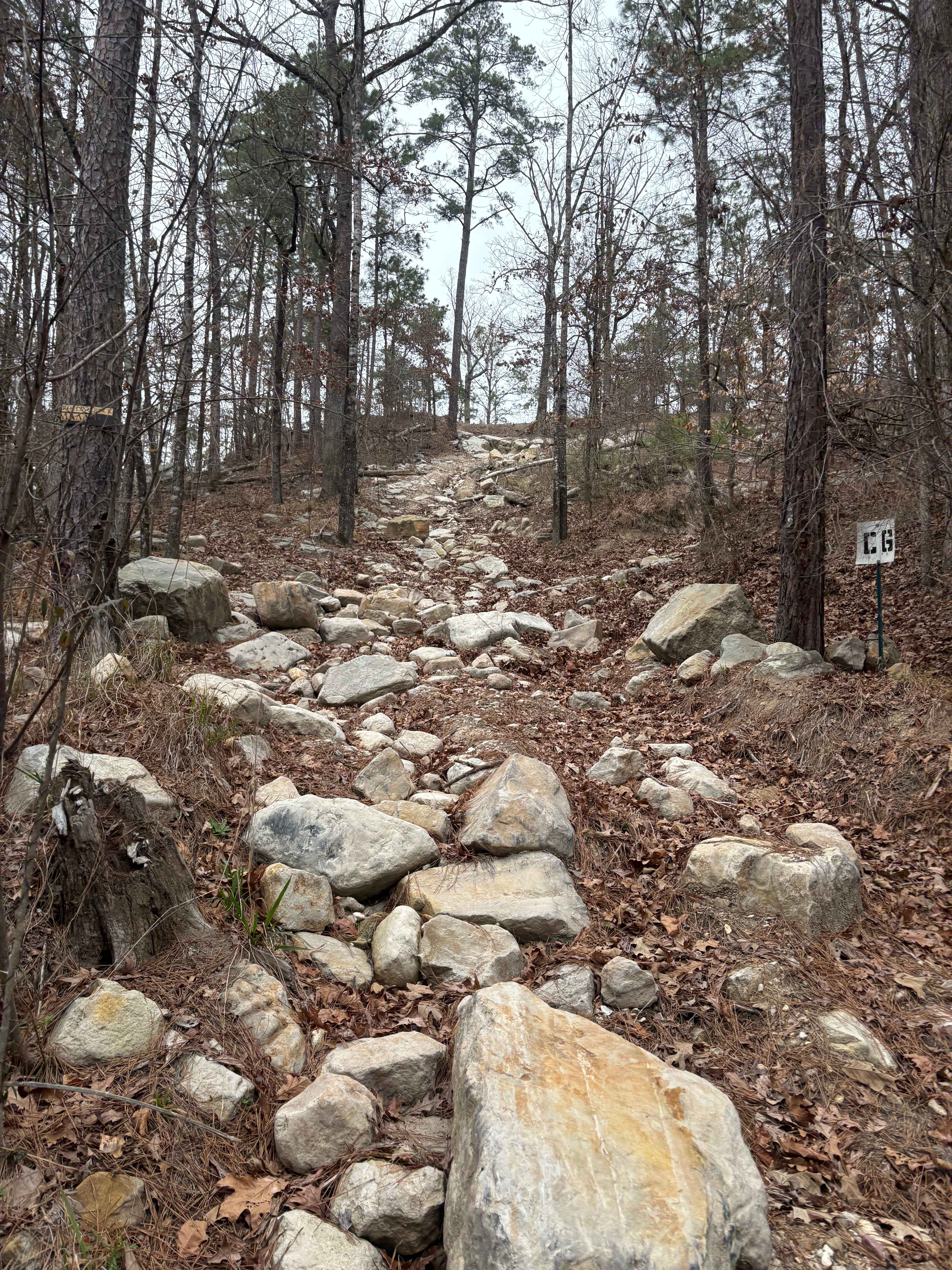
Rolling Rocks
Total Miles
0.0
Tech Rating
Moderate
Best Time
Winter, Fall, Summer, Spring
Learn more about Rutherford Beach Mesquite Ridge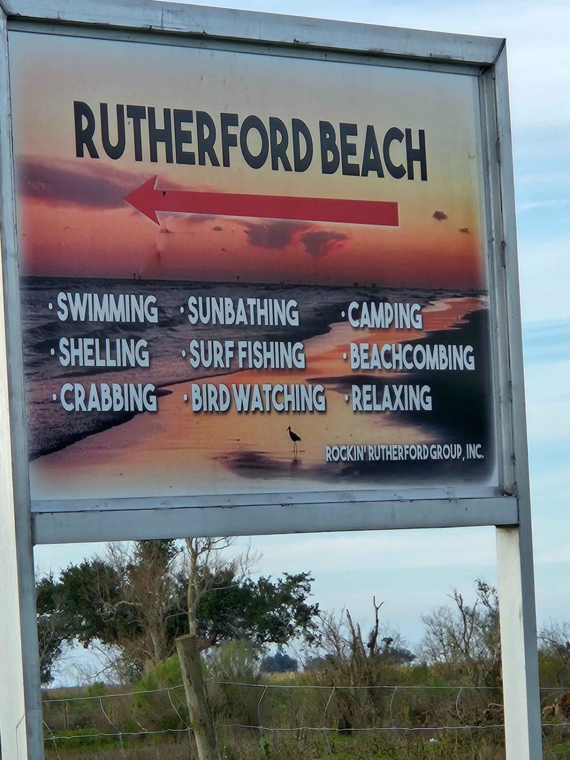
Rutherford Beach Mesquite Ridge
Total Miles
6.9
Tech Rating
Easy
Best Time
Spring, Summer, Fall, Winter
Learn more about Sand Dune Course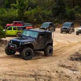
Sand Dune Course
Total Miles
0.7
Tech Rating
Easy
Best Time
Spring, Summer, Fall, Winter
Learn more about Sandstone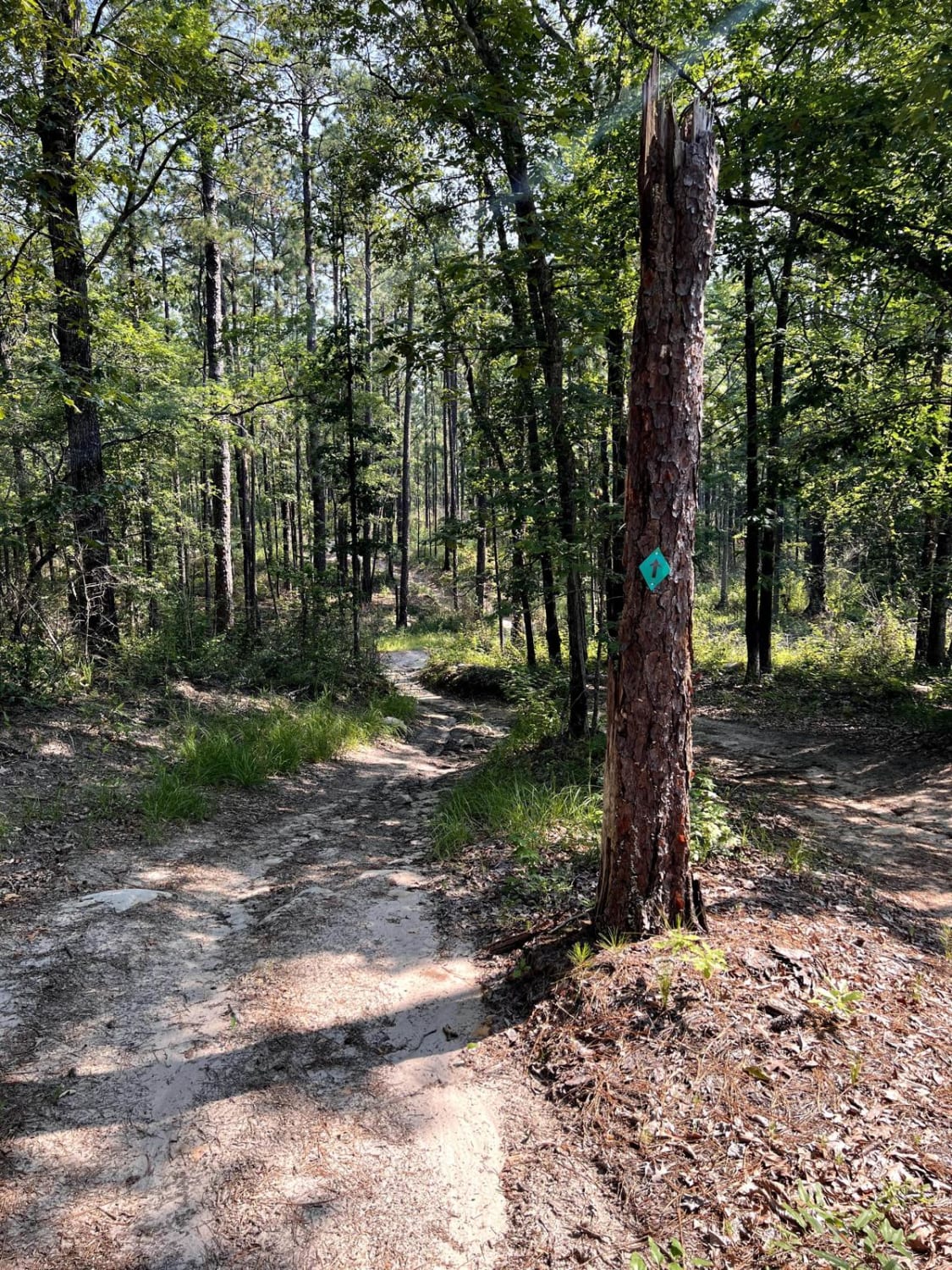
Sandstone
Total Miles
27.1
Tech Rating
Easy
Best Time
Spring, Summer, Fall, Winter
Learn more about Secondary Main Trail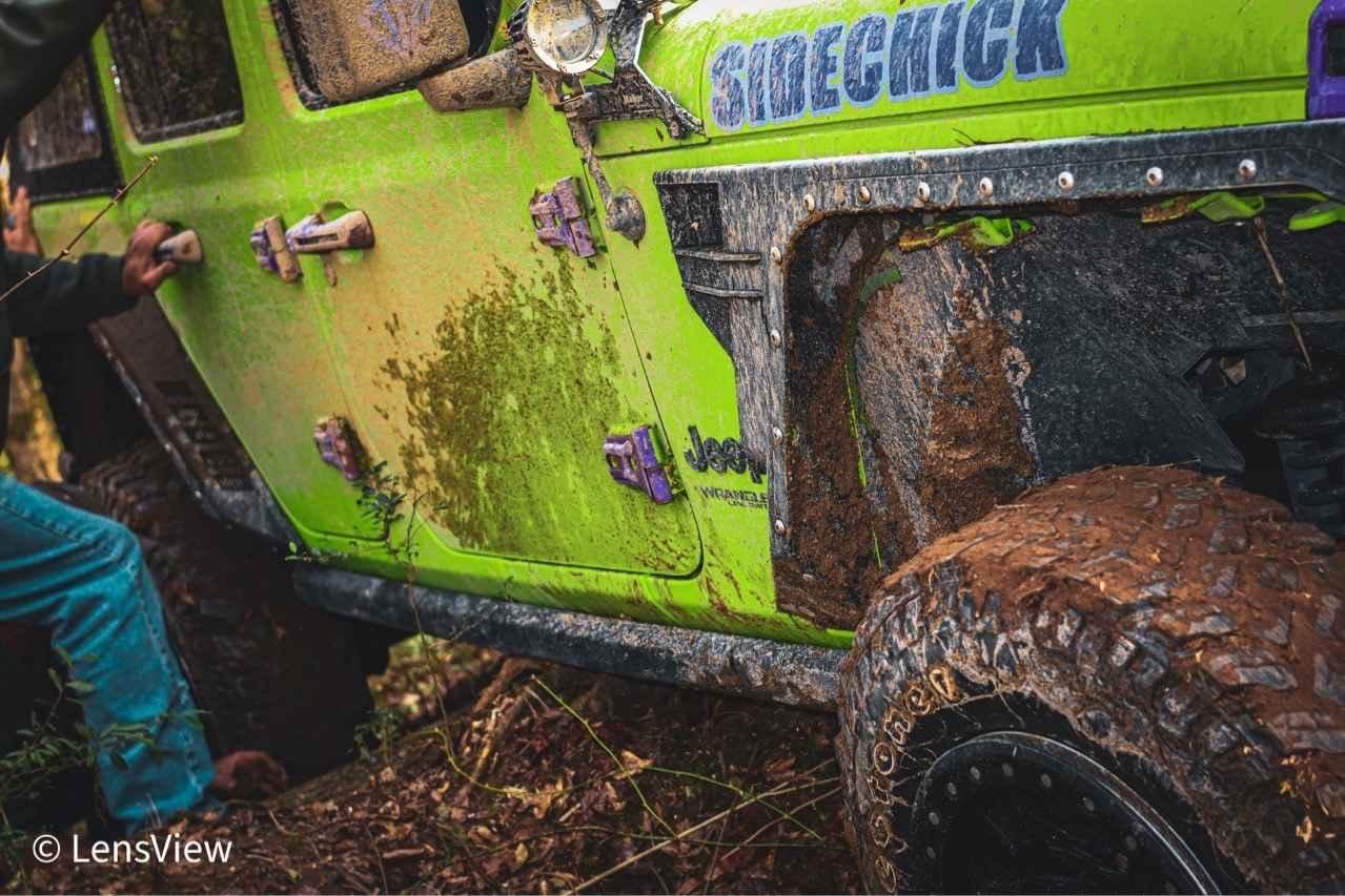
Secondary Main Trail
Total Miles
0.7
Tech Rating
Easy
Best Time
Spring, Summer, Fall, Winter
ATV trails in Louisiana
Learn more about 5338-W022B
5338-W022B
Total Miles
2.2
Tech Rating
Moderate
Best Time
Spring, Summer, Fall, Winter
Learn more about Beach Lane
Beach Lane
Total Miles
1.0
Tech Rating
Easy
Best Time
Spring, Summer, Fall, Winter
Learn more about Bottom Road
Bottom Road
Total Miles
0.3
Tech Rating
Easy
Best Time
Spring, Summer, Fall, Winter

UTV/side-by-side trails in Louisiana
Learn more about 5338-W022B
5338-W022B
Total Miles
2.2
Tech Rating
Moderate
Best Time
Spring, Summer, Fall, Winter
Learn more about Beach Lane
Beach Lane
Total Miles
1.0
Tech Rating
Easy
Best Time
Spring, Summer, Fall, Winter
Learn more about Beulah Church Road
Beulah Church Road
Total Miles
7.2
Tech Rating
Easy
Best Time
Spring, Summer, Fall, Winter
Learn more about Bottom Road
Bottom Road
Total Miles
0.3
Tech Rating
Easy
Best Time
Spring, Summer, Fall, Winter
The onX Offroad Difference
onX Offroad combines trail photos, descriptions, difficulty ratings, width restrictions, seasonality, and more in a user-friendly interface. Available on all devices, with offline access and full compatibility with CarPlay and Android Auto. Discover what you’re missing today!