Red River Levee Trail
Total Miles
11.6
Technical Rating
Best Time
Spring, Summer, Fall, Winter
Trail Type
Full-Width Road
Accessible By
Trail Overview
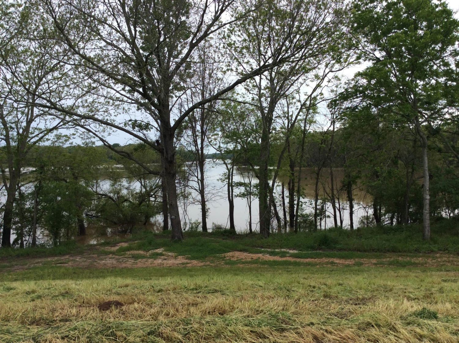
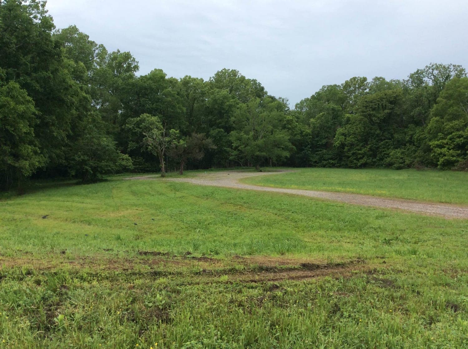
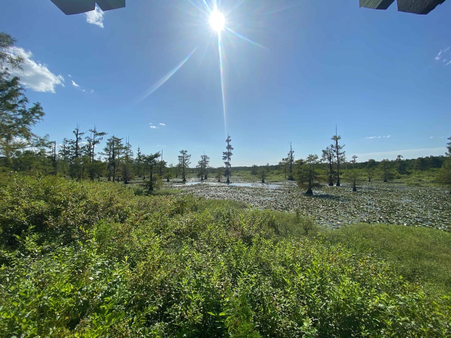
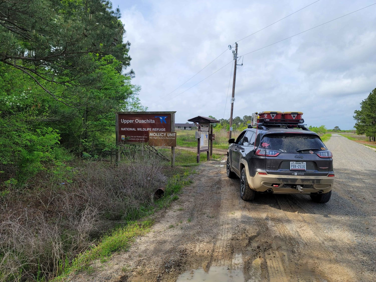
This trail follows the top of the Red River Levee structure. The area on the north side of the trail follows the southern boundary of the Red River Wildlife Management Area (WMA) and the south side of the trail boarders along the Red River. There are numerous primitive camping sites and boat launches available for longer stays. There are a variety of rivers, lakes, ponds, and swamps that converge in this area so wildlife and natural foliage is abundant.
Photos of Red River Levee Trail
Difficulty
This road is on the top of a levee structure so water naturally drains down the levee. However, there are places where ruts exist and depending on the amount of rain in the area, the road can be difficult in some spots.
Status Reports
Red River Levee Trail can be accessed by the following ride types:
- High-Clearance 4x4
- SUV
Red River Levee Trail Map
Popular Trails
Iatt Lake Trail
The Arkansas Overland Route - TrailHawk Loop - Section 23
The Arkansas Overland Route - TrailHawk Loop - Section 26

Sand Dune Course
The onX Offroad Difference
onX Offroad combines trail photos, descriptions, difficulty ratings, width restrictions, seasonality, and more in a user-friendly interface. Available on all devices, with offline access and full compatibility with CarPlay and Android Auto. Discover what you’re missing today!