
Off-Road Trails in Louisiana
Discover off-road trails in Louisiana
Off-Road Trails in Louisiana
Discover the best off-road trails in Louisiana. Browse trail maps, check difficulty ratings, and find your next adventure — whether you're looking for a quick ride or an all-day expedition.
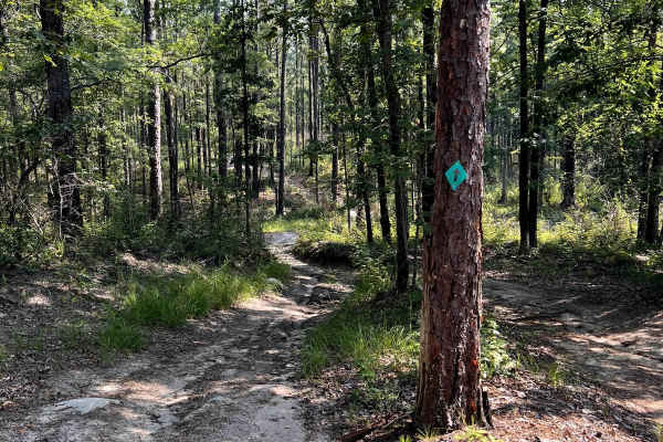
Sandstone
Great trail that is well maintained and easily rideable by following the green arrows. A lot of ups/downs/left/rights with some nice elevation changes for central LA. Very fun trail for all variety of riders from young to old. Mostly 2 track for the whole trail but a very enjoyable 2 track. The t...
Learn more about Sandstone
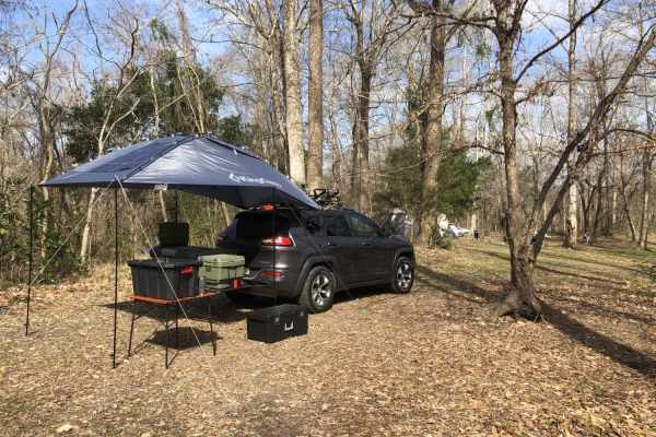
Tunica Hills WMA Trail 1
This trail route runs through the Tunica Hills Louisiana Wildlife Management Area. The route consists of gravel and dirt roads that are carved on the top of ridgelines that at times have 50- to 100-foot drop-offs as close as 5-10 feet from the main trail. The majority of the trail is covered by old-...
Learn more about Tunica Hills WMA Trail 1
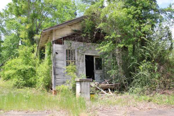
The Arkansas Overland Route - TrailHawk Loop - Section 26
This is a mix of Pavement, dirt, and gravel. Some areas can be nasty when wet. Some areas can become flooded. Some areas have ruts. This trail ends at Felsenthal National Wildlife Refuge Lock and Dam Access. There are restrooms and camping in this area. There is Access to the Ouachita River.
Learn more about The Arkansas Overland Route - TrailHawk Loop - Section 26
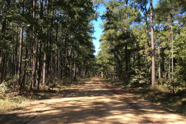
Eastern Evangeline District Trail
This trail follows the eastern side of the Evangeline District of the Kistatchie National Forest. You can enter the train at the intersection of Highway 112 and McGillary Road 266 which is on the outer perimeter of the Camp Claiborne Complex. This trail offers a variety of deep wood views and trail ...
Learn more about Eastern Evangeline District Trail
The Arkansas Overland Route - TrailHawk Loop - Section 25
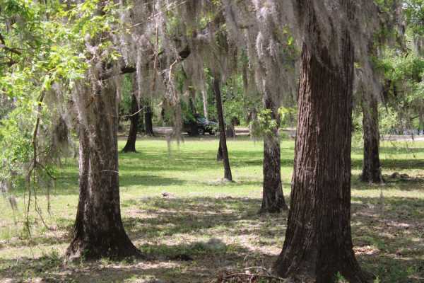
Pavement, gravel, and dirt make up this section of the trail. This section goes out on a little island with beautiful homes and into the wilderness with a lot of dirt roads. Leaving Louisiana, this trail heads north into Arkansas. The dirt begins again, and some areas can be narrow and rough. This t...
Learn more about The Arkansas Overland Route - TrailHawk Loop - Section 25
Pine Tar Corner
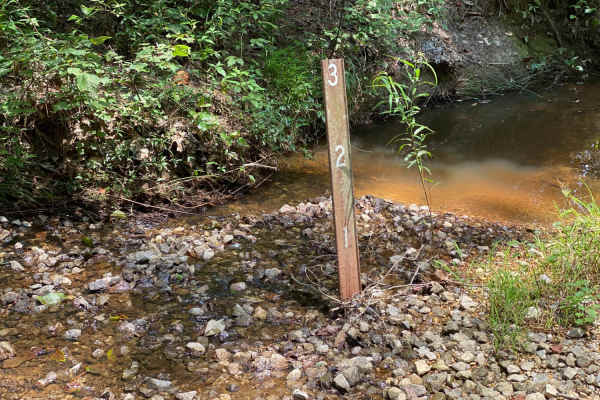
Pine Tar Corner offers a mild yet highly engaging four-wheel-drive adventure through the tranquil southwest corner of Bienville National Forest, standing out for its rich forest scenery and abundant primitive camping options. Spanning roughly 7.5 miles, this scenic route links USFS Road 516, Smith C...
Learn more about Pine Tar Corner
NF550
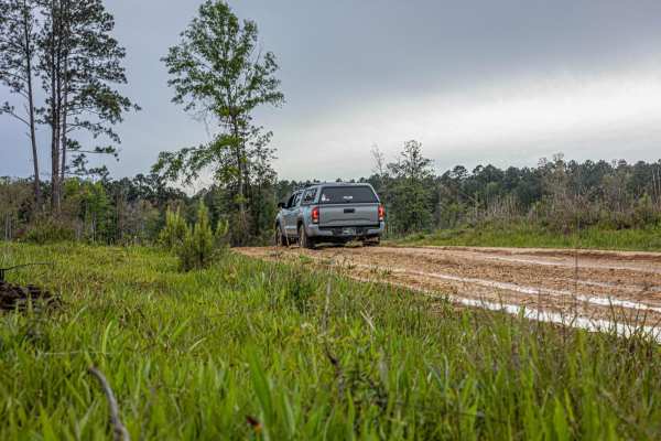
As you enter this trailhead you'll be on hard packed gravel that slowly turns into washouts, so keep a slower pace. As you advance down the trail you'll notice that the woods turn to cutover, soon after that you'll find some deep ruts that are extremely muddy when wet. The majority of this trail is ...
Learn more about NF550
Grassy Lakes Wildlife Management Area (WMA) Central Trail
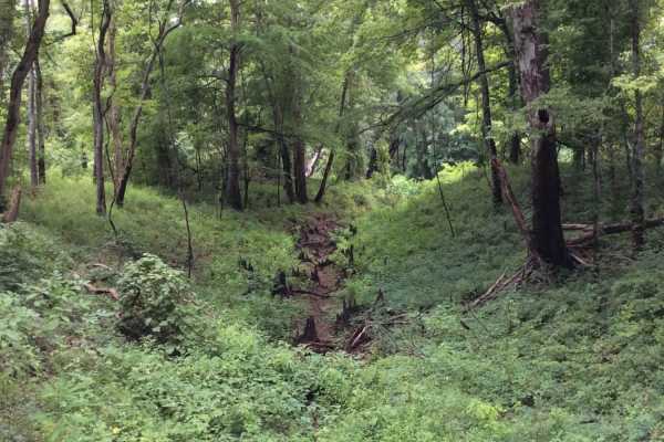
This trail runs through the central area of the Grassy Lakes Wildlife Management Area (WMA). The trail is more improved and connects public use areas such as camping areas, boat launches, and a few private camps. There are a variety of spurs and trails to take that allow you to explore the north or ...
Learn more about Grassy Lakes Wildlife Management Area (WMA) Central Trail
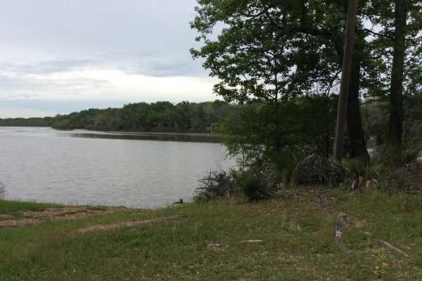
Dewey Wills Wildlife Management Area (WMA) Cross Trail
The Dewey Wills (WMA) Trail cross-cuts a large conservation area, approximately 64,000 acres, in central Louisiana that provides for a variety of activities such as camping, hunting, trapping, fishing, and boating. This area has a variety of maintained gravel and dirt roads along with less maintaine...
Learn more about Dewey Wills Wildlife Management Area (WMA) Cross Trail
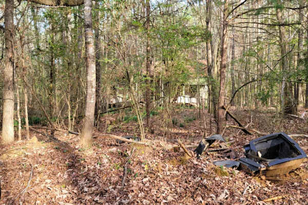
The Dead End Barrel
This trail has a bit of asphalt, dirt, and gravel. It goes to a cemetery and dead-ends at an oil structure. This trail is north of Ivan Lake and northwest of Williams Lake. You will also see an old deserted house on the right-hand side of the road.
Learn more about The Dead End Barrel
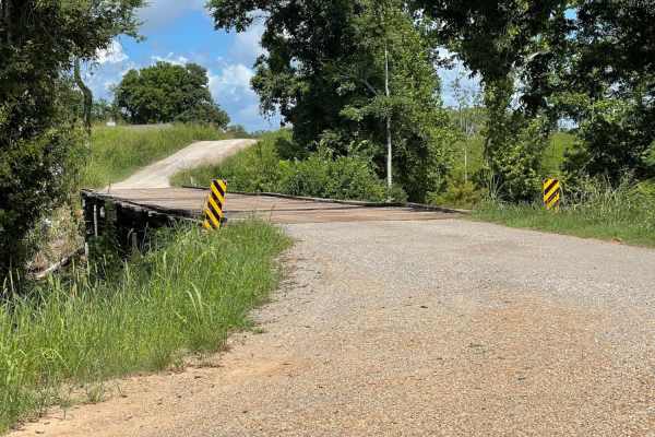
Grassy Lakes Wildlife Management Area (WMA) South Trail
This trail begins at the north end of the Town of Simmesport, LA, and follows dirt roads and trails along Bayou des Glaises until you make a right turn to start the trail to the southern point of the Grassy Lakes WMA. Along the way, there are 1000's of acres of farmland and historical sites to see, ...
Learn more about Grassy Lakes Wildlife Management Area (WMA) South Trail
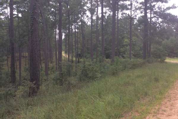
HCNF Swayze Trace Trail
This Hommochitto National Forest Trail follows the Swayze Trace and an unnamed trail spur that ends on a hardtop road (Perrytown Road). Much of the main trail is gravel, but once you enter the trail spur the route reduces to a one-lane constricted trail with bush coverage on much of the trail. Along...
Learn more about HCNF Swayze Trace Trail
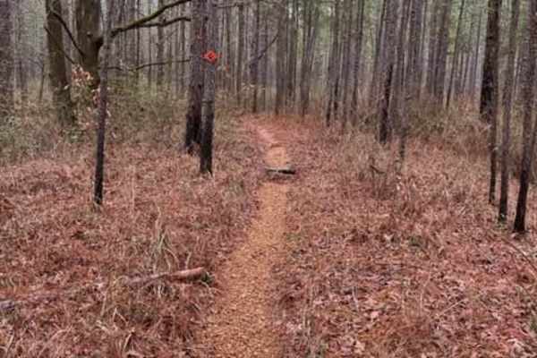
Claiborne "A" Loop
A diversified amount of roots, rocks, and flowy single track through the Kisatchie Forest has some elevation change. After a decent rain, the ground holds its moisture, so plan on wet and slimy conditions with some possible downed trees and mud holes. Overall, a very fun ride with many trails that c...
Learn more about Claiborne "A" Loop
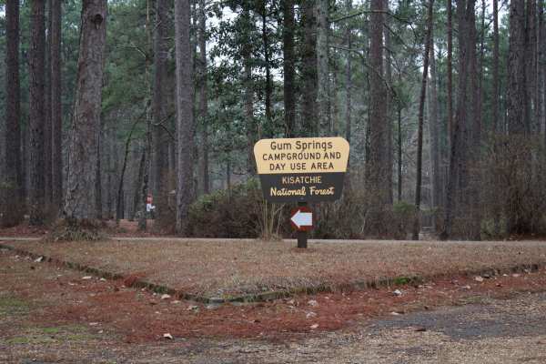
Gum Springs Campground
Gum Springs Campground and Lookout Tower are at the south end of this trail. This trail starts south of Highway 156. Consisting of Carpenter Road, Bright Road, and Range road these maintained gravel roads offer a fun ride. Enjoy nature and wildlife viewing as you travel this section of forest. Cross...
Learn more about Gum Springs Campground
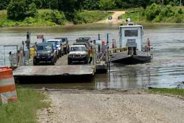
Kings Point Island
Kings Point Island offers offroaders an easy but highly memorable dirt and mud excursion accessed exclusively via a unique ferry crossing on the Mississippi River. This 24.6-mile route is ideal for beginners, families, and scenic tourers looking for a relaxed day trip surrounded by active farmland, ...
Learn more about Kings Point Island
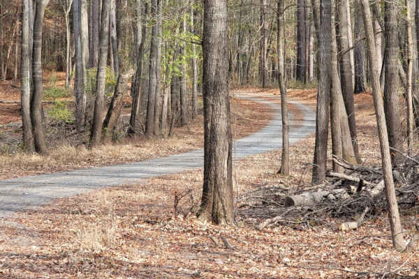
Enter Bodcau Wildlife Management Area
This easy-going, 7.8-mile scenic dirt and gravel route is perfect for beginners, scenic drivers, and outdoor enthusiasts looking to access the heart of the Bodcau Wildlife Management Area. Starting on the southeast side of the Bayou Bodcau Reservoir, the trail winds through dense bottomland hardwood...
Learn more about Enter Bodcau Wildlife Management Area
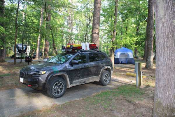
The Arkansas Overland Route - TrailHawk Loop - Section 21 - Haus SP
The Arkansas Overland Route - TrailHawk Loop - Section 21 - Haus SP is a scenic, beginner-friendly overland route perfect for families and novice offroaders seeking a relaxed drive through the Arkansas-Louisiana borderlands. Spanning approximately 35.5 miles, this point-to-point trail connects the t...
Learn more about The Arkansas Overland Route - TrailHawk Loop - Section 21 - Haus SP
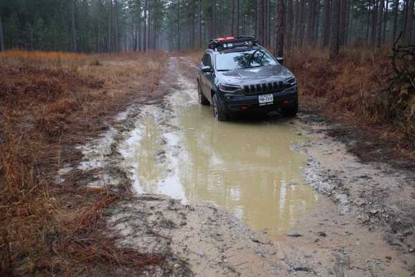
Peterson to Cloud Xing Road
Peterson Road travels east and south into the Kisatchie National Forest. After a few miles, this trail turns west onto Cloud Xing Road. Cloud Xing Road is a narrow dirt and gravel road with small mud holes and rougher terrain. Along Cloud Xing road there are several open areas and short trails on ea...
Learn more about Peterson to Cloud Xing Road
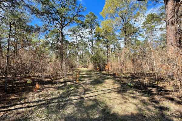
The Narrows
I call this trail The Narrows because it is very narrow. If you don't like pin striping I wouldn't go down this trail. I was in a mid-size truck a Nissan Frontier and the brush was dragging both sides of the truck most of the way down the trail. It's a beautiful area some places are fairly open and ...
Learn more about The Narrows
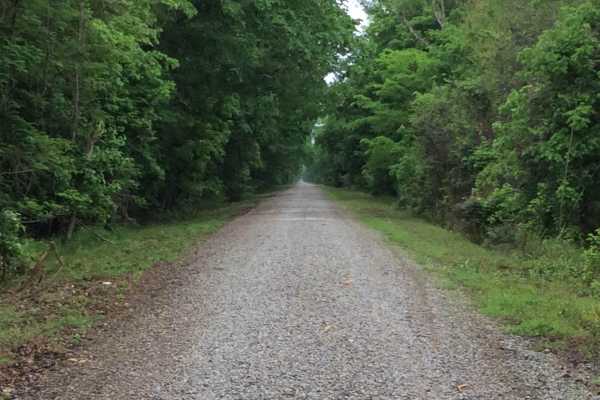
Three Rivers WMA - Grand Bay Trail
This trail cuts through the Three Rivers Wildlife Management Area (WMA) from east to west and allows access to the Grand Bay and boat launches on the Red River. There are several primitive camp options starting at the trailhead and others further into the area. This area is only accessible by this t...
Learn more about Three Rivers WMA - Grand Bay Trail
ATV trails in Louisiana
Explore ATV-friendly trails in Louisiana. These trails are accessible for vehicles up to 50 inches wide, perfect for ATVs and smaller off-road machines.
Sandstone
Great trail that is well maintained and easily rideable by following the green arrows. A lot of ups/downs/left/rights with some nice elevation changes for central LA. Very fun trail for all variety of riders from young to old. Mostly 2 track for the whole trail but a very enjoyable 2 track. The t...
Learn more about Sandstone
Pine Tar Corner
Pine Tar Corner offers a mild yet highly engaging four-wheel-drive adventure through the tranquil southwest corner of Bienville National Forest, standing out for its rich forest scenery and abundant primitive camping options. Spanning roughly 7.5 miles, this scenic route links USFS Road 516, Smith C...
Learn more about Pine Tar Corner
NF550
As you enter this trailhead you'll be on hard packed gravel that slowly turns into washouts, so keep a slower pace. As you advance down the trail you'll notice that the woods turn to cutover, soon after that you'll find some deep ruts that are extremely muddy when wet. The majority of this trail is ...
Learn more about NF550
Enter Bodcau Wildlife Management Area
This easy-going, 7.8-mile scenic dirt and gravel route is perfect for beginners, scenic drivers, and outdoor enthusiasts looking to access the heart of the Bodcau Wildlife Management Area. Starting on the southeast side of the Bayou Bodcau Reservoir, the trail winds through dense bottomland hardwood...
Learn more about Enter Bodcau Wildlife Management Area
UTV/side-by-side trails in Louisiana
Find UTV and side-by-side trails in Louisiana. These trails accommodate vehicles up to 60 inches wide, ideal for UTVs, side-by-sides, and wider off-road rigs.
Pine Tar Corner
Pine Tar Corner offers a mild yet highly engaging four-wheel-drive adventure through the tranquil southwest corner of Bienville National Forest, standing out for its rich forest scenery and abundant primitive camping options. Spanning roughly 7.5 miles, this scenic route links USFS Road 516, Smith C...
Learn more about Pine Tar Corner
NF550
As you enter this trailhead you'll be on hard packed gravel that slowly turns into washouts, so keep a slower pace. As you advance down the trail you'll notice that the woods turn to cutover, soon after that you'll find some deep ruts that are extremely muddy when wet. The majority of this trail is ...
Learn more about NF550
Enter Bodcau Wildlife Management Area
This easy-going, 7.8-mile scenic dirt and gravel route is perfect for beginners, scenic drivers, and outdoor enthusiasts looking to access the heart of the Bodcau Wildlife Management Area. Starting on the southeast side of the Bayou Bodcau Reservoir, the trail winds through dense bottomland hardwood...
Learn more about Enter Bodcau Wildlife Management Area
The Narrows
I call this trail The Narrows because it is very narrow. If you don't like pin striping I wouldn't go down this trail. I was in a mid-size truck a Nissan Frontier and the brush was dragging both sides of the truck most of the way down the trail. It's a beautiful area some places are fairly open and ...
Learn more about The Narrows
The onX Offroad Difference
onX Offroad combines trail photos, descriptions, difficulty ratings, width restrictions, seasonality, and more in a user-friendly interface. Available on all devices, with offline access and full compatibility with CarPlay and Android Auto. Discover what you're missing today!
Open Trail Map