Trail Overview
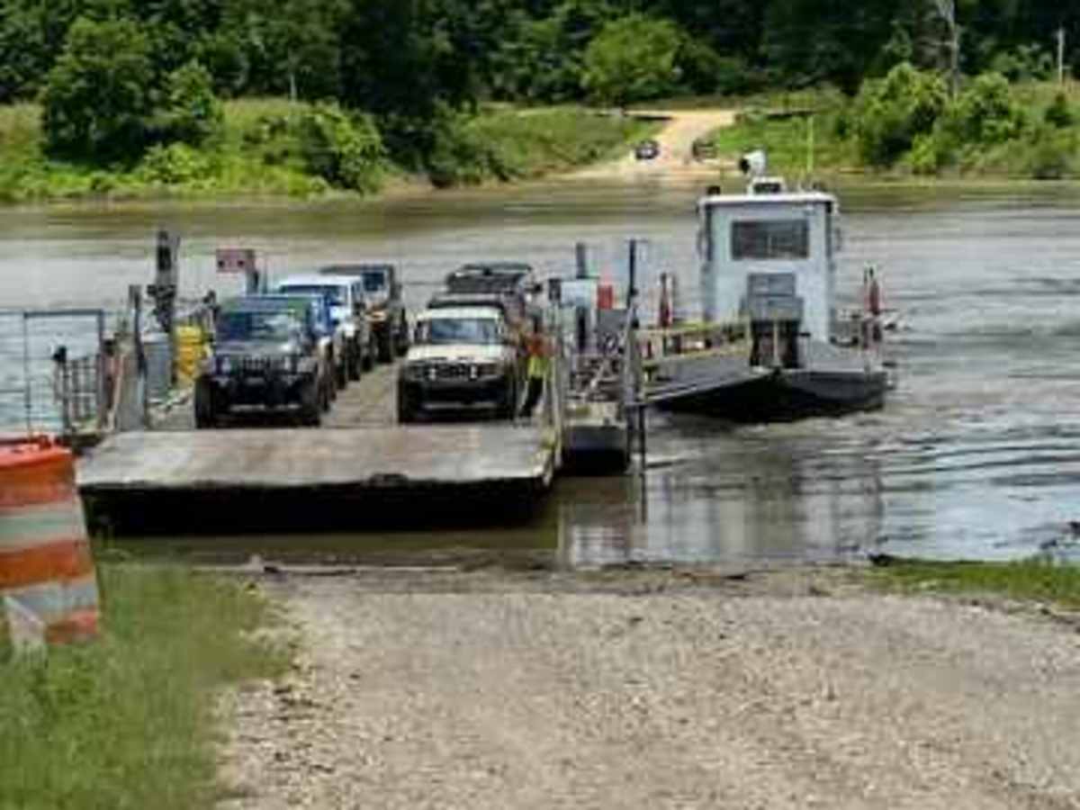
Kings Point Island offers offroaders an easy but highly memorable dirt and mud excursion accessed exclusively via a unique ferry crossing on the Mississippi River. This 24.6-mile route is ideal for beginners, families, and scenic tourers looking for a relaxed day trip surrounded by active farmland, cypress swamps, and expansive riverfront vistas. The adventure begins with a bumpy 9-mile drive along Kings Point Ferry Road, transitioning from worn asphalt to gravel, as it winds past sprawling soybean fields and quiet fishing spots. To reach the island itself, drivers must board the Kings Point Ferry, a small barge capable of carrying up to eight vehicles at a time. Once across, the main trail loop traverses flat terrain with elevations hovering between 65 and 100 feet, composed entirely of unpaved dirt and thick mud. High-clearance four-wheel-drive vehicles, SxSs, and stock SUVs can easily handle the path, though travelers should expect to kick up plenty of mud along the way.
Because the island is a mix of working farmland, hunting leases, and private fishing camps, visitors must strictly stick to the main established route, as local authorities monitor the area closely with trail cameras. The back section of the trail runs directly along the banks of the mighty Mississippi River, offering spectacular, unobstructed views and excellent opportunities for birdwatching and photography. Seasonality is a critical factor for planning, as the entire island is prone to heavy flooding when the Mississippi River rises during the winter and early spring months. The best time to visit is from late spring through late summer when the river levels drop, ensuring the ferry is operational and the trails are passable. Nearby, the historic district of Vicksburg along brick-paved Washington Avenue provides excellent local dining and sightseeing to round out the trip.
Difficulty
This is an easy trail, however expect to bring a lot of mud out with you. You may visit the island late spring, with the best time being in the summer, when the river is down. During the winter months and early spring the Mississippi River is up and floods the island making it inaccessible.
Access Description
The island is only accessible via the Kings Point Ferry, which accommodates up to eight vehicles. Visitors must remain on the designated main trail at all times, as the county sheriff's office actively monitors the island's private hunting and fishing camps with trail cameras. The route is highly seasonal; the Mississippi River floods the island during winter and early spring, making it completely inaccessible. The best time to visit is during the summer when river levels are low.