Trail Overview
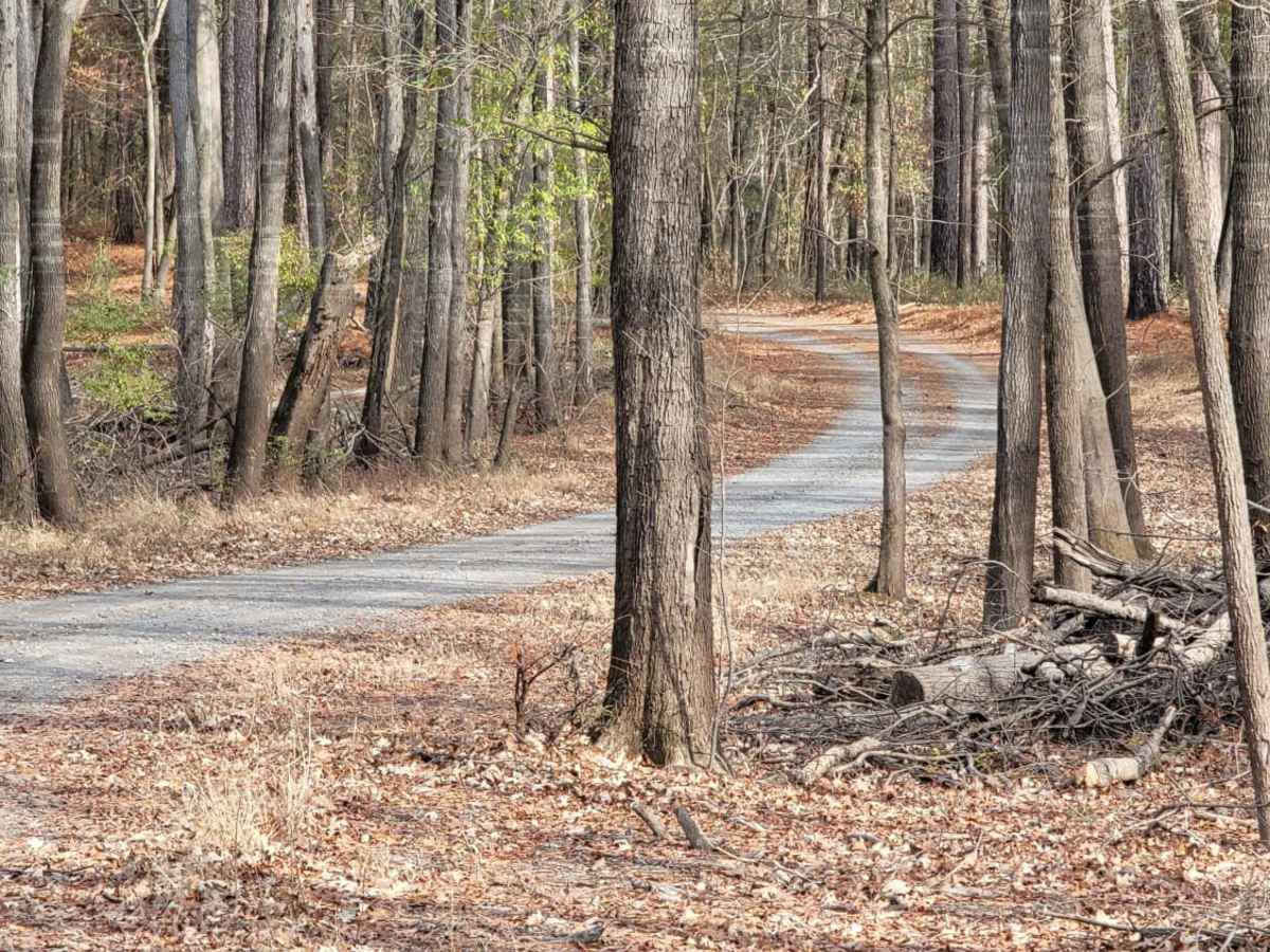
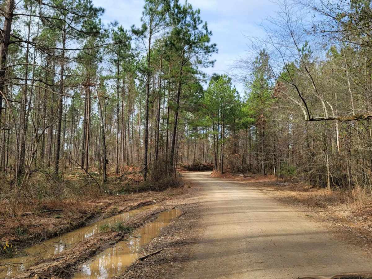
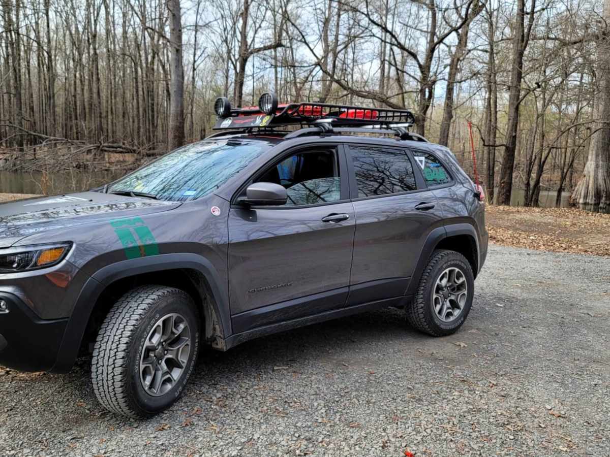
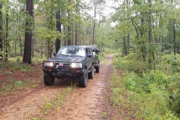
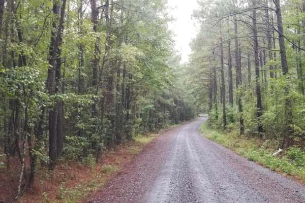
This easy-going, 7.8-mile scenic dirt and gravel route is perfect for beginners, scenic drivers, and outdoor enthusiasts looking to access the heart of the Bodcau Wildlife Management Area. Starting on the southeast side of the Bayou Bodcau Reservoir, the trail winds through dense bottomland hardwood forests, offering a gentle drive with minimal elevation change, ranging from 182 to 238 feet. The path features a technical rating of 1, meaning it is primarily a well-maintained, heavy graveled road suitable for standard two-wheel-drive vehicles under dry conditions, though high-clearance vehicles are recommended for the dirt sections. Along the route, drivers can take an offshoot leading to a dirt boat ramp on Bodcau Creek.
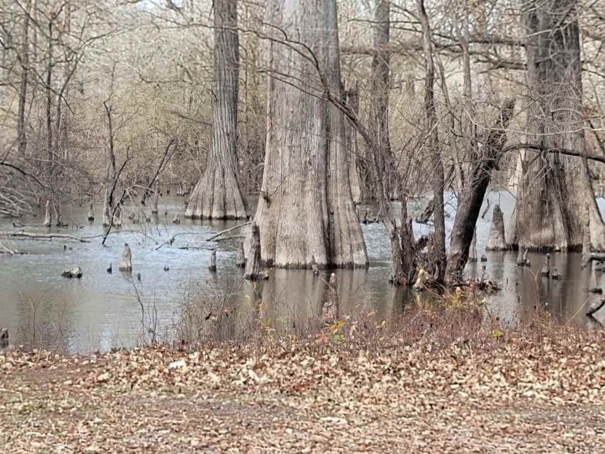
While traveling through this scenic wildlife area, visitors can enjoy excellent birdwatching, wildlife viewing, and seasonal hunting opportunities managed by the Louisiana Department of Wildlife and Fisheries. The trail ends near Highway 371 on its northern end, making it easily accessible from major roadways. For those looking to extend their stay, the nearby Tom Merrill Recreation Area offers both primitive camping sites and full hookups, located just west of the trail. Since the offshoot to the boat ramp consists of a dirt surface, wet weather can quickly turn this section muddy, requiring caution or four-wheel drive. Whether planning a day of fishing on the creek or a relaxing drive under towering cypress trees, this route serves as an ideal gateway to Louisiana's peaceful bayou landscape.
Access Description
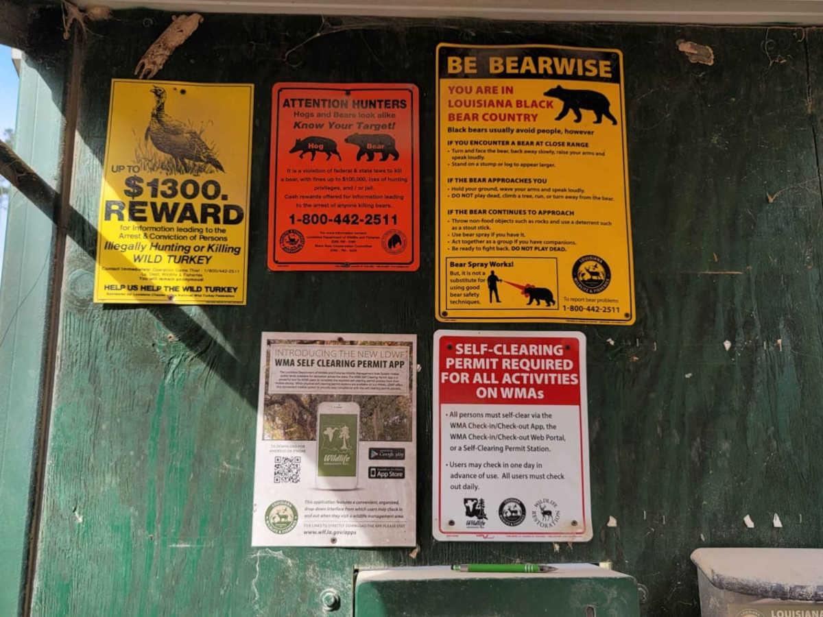
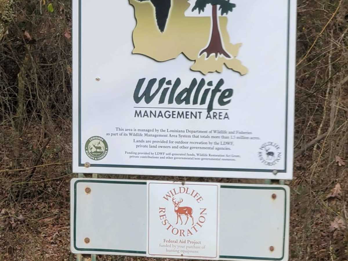
The route is located within the Bodcau Wildlife Management Area, managed by the Louisiana Department of Wildlife and Fisheries (LDWF). Visitors aged 16 to 59 are generally required to possess a WMA Access Permit, a Senior Hunting/Fishing License, or a Sportsman's Paradise License to access the area. Be sure to check seasonal hunting schedules, as certain roads or areas may have restricted access during active hunting seasons.


 Offroad