Trail Overview
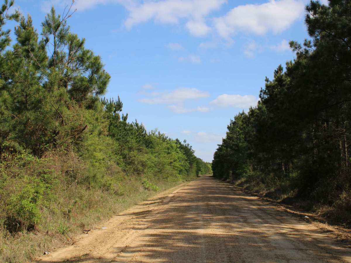
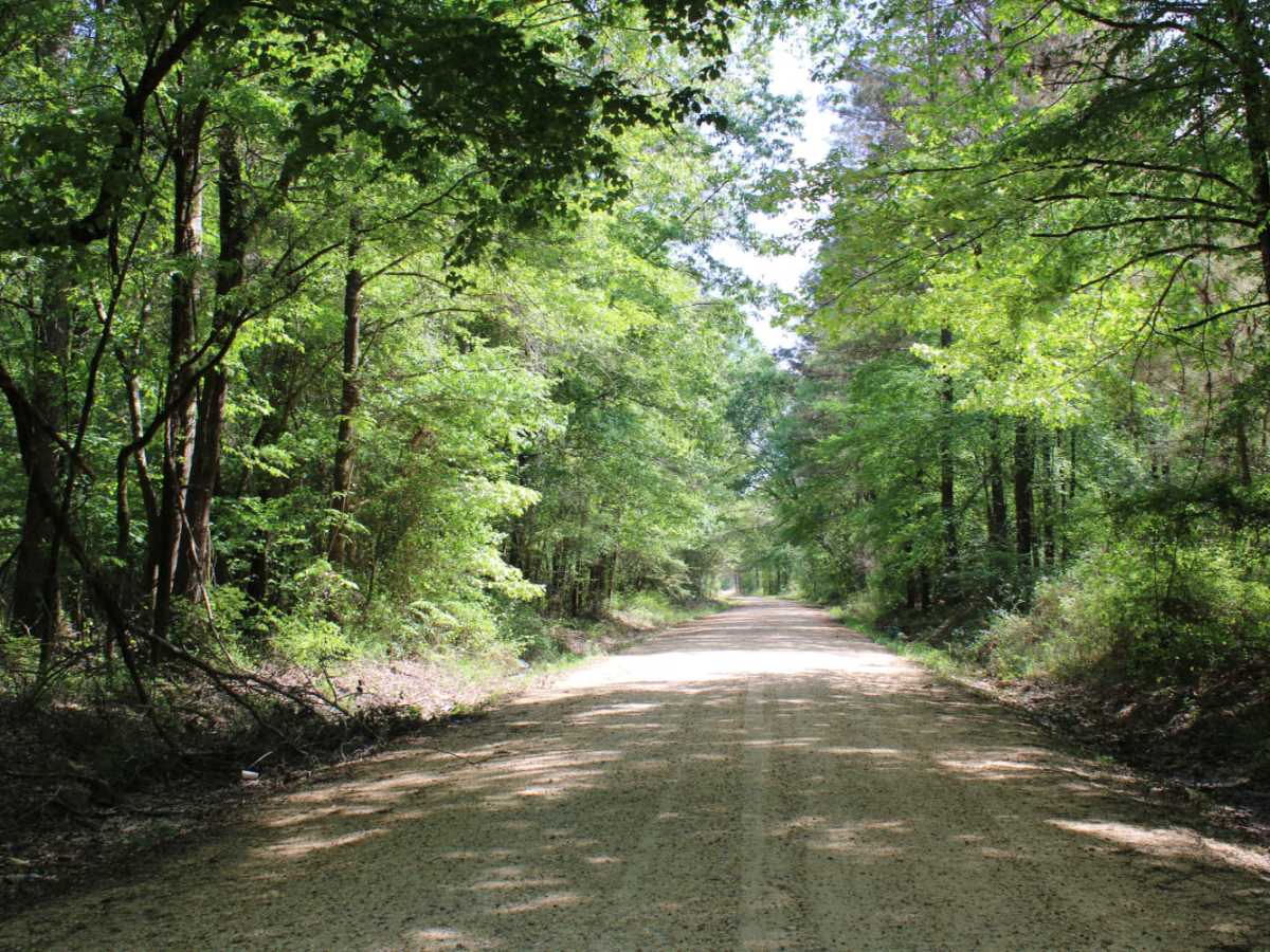
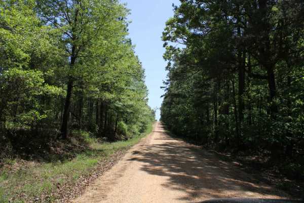
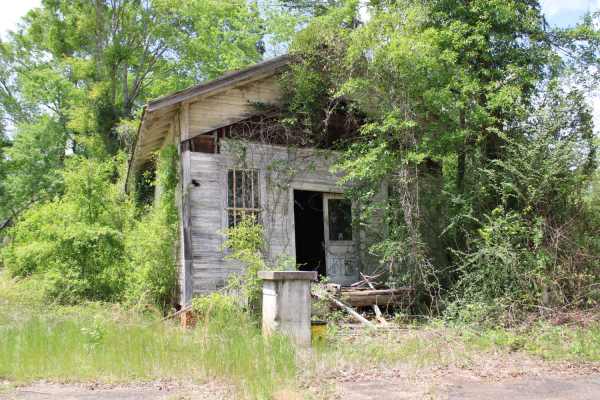
The Arkansas Overland Route - TrailHawk Loop - Section 21 - Haus SP is a scenic, beginner-friendly overland route perfect for families and novice offroaders seeking a relaxed drive through the Arkansas-Louisiana borderlands. Spanning approximately 35.5 miles, this point-to-point trail connects the town of Crossett, Arkansas, to Chemin-A-Haut State Park in northern Louisiana. The terrain consists of a mixture of paved highways and well-maintained gravel roads that wind through peaceful southern pine forests and rural landscapes. With a technical rating of 1, the route is easily navigated by stock four-wheel-drive vehicles, all-wheel-drive crossovers, and SxSs under dry conditions, though the unpaved portions can become slick and muddy during wet weather. Elevation changes are minimal, with the trail gently rolling between 73 feet and 174 feet above sea level.
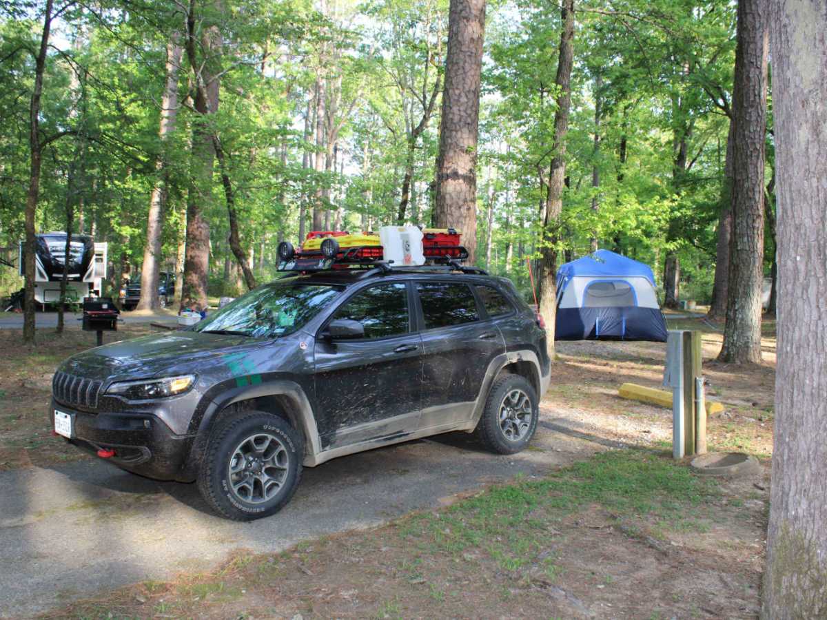
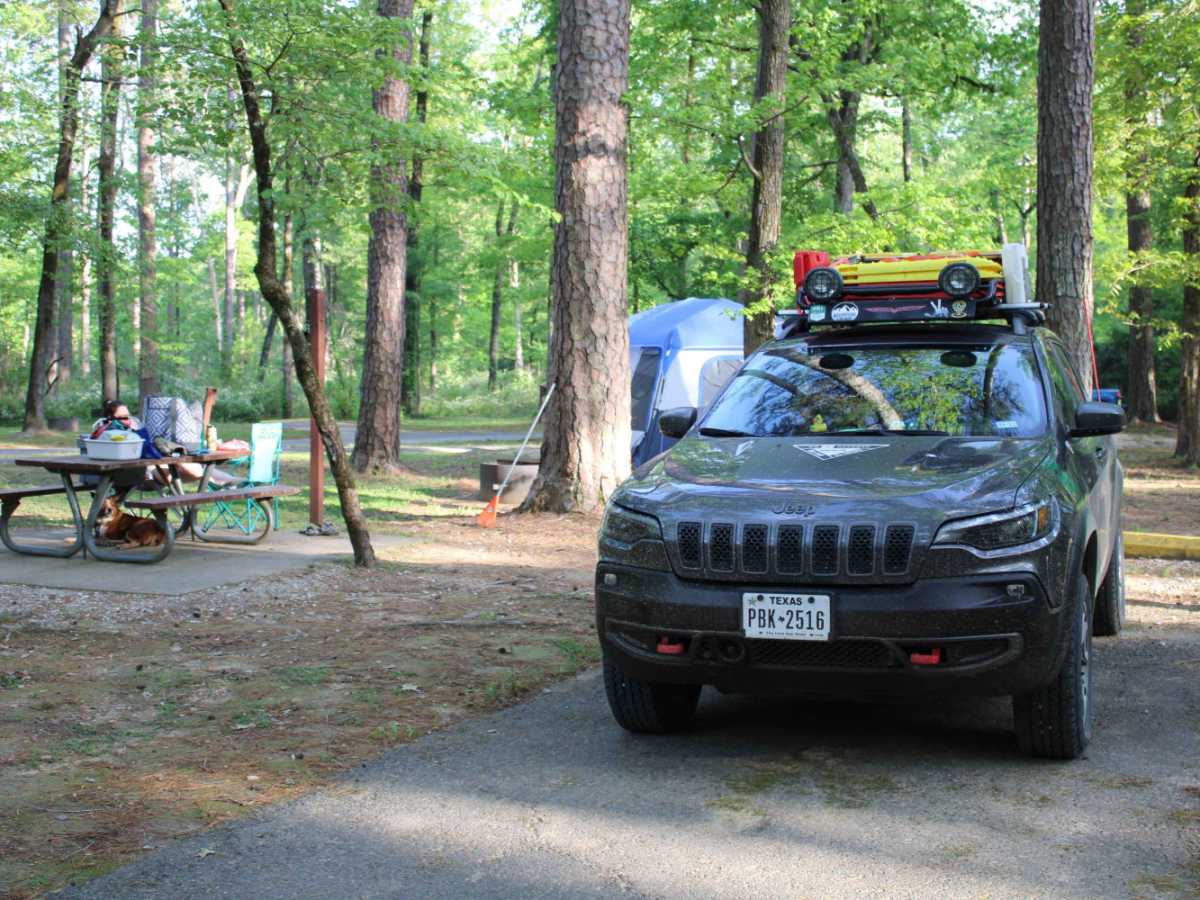
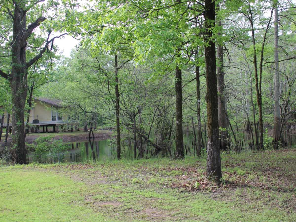
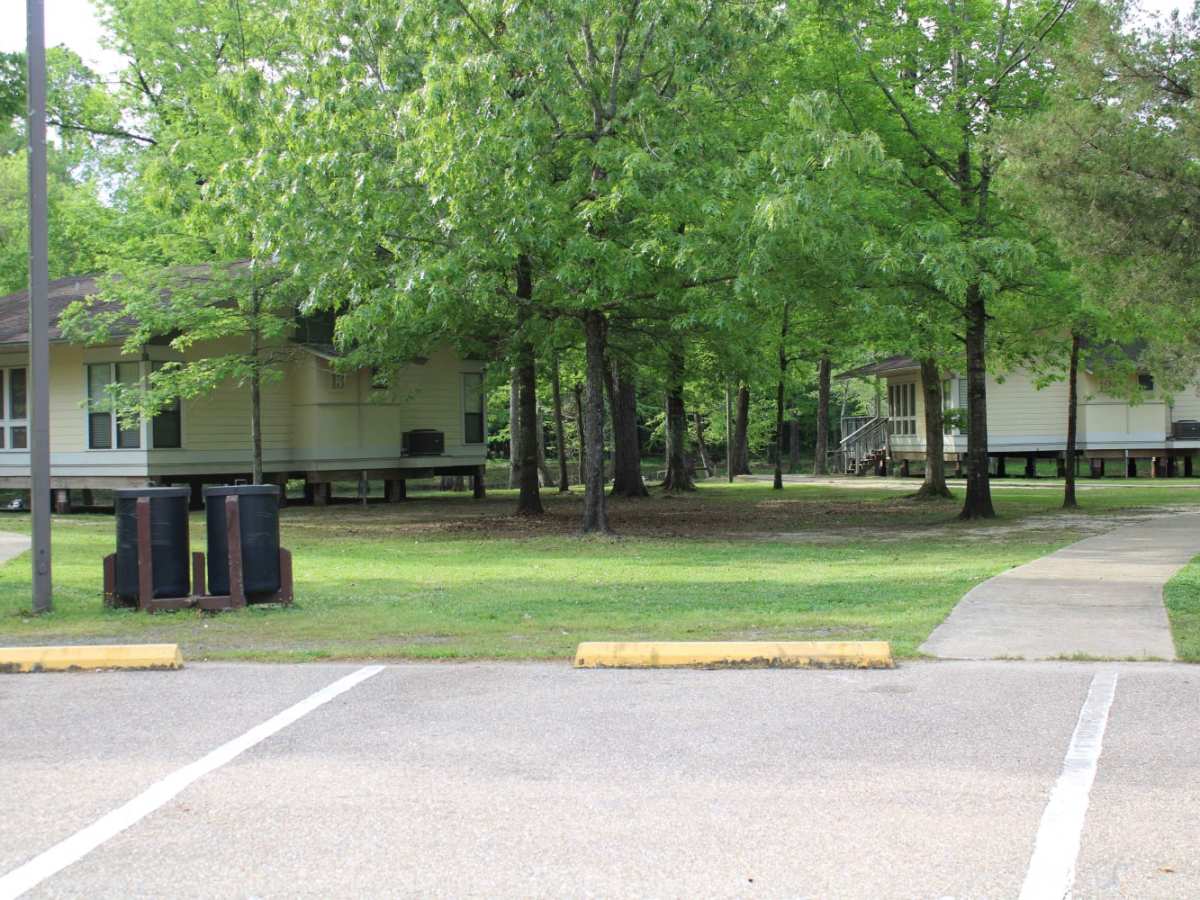
The southern terminus of this section leads directly into Chemin-A-Haut State Park, which sits on a high bluff overlooking the scenic Bayou Bartholomew. This historic park is an excellent place to set up camp for the night, offering full-hookup RV sites, tent camping areas, and comfortable cabin rentals. Visitors can rent kayaks at the park to paddle along the bayou and view the famous giant cypress trees, including a spectacular 1,000-year-old specimen known as the Castle Tree. This section of the TrailHawk Loop provides a smooth, picturesque overlanding experience that combines easy country driving with outstanding opportunities for water recreation and camping.
Access Description
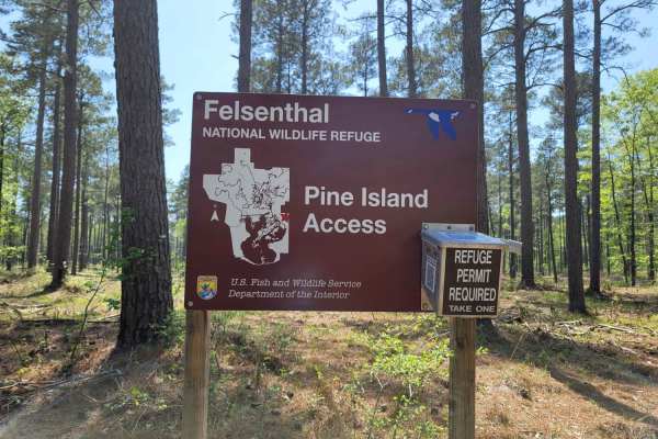
The route is open year-round and does not require special permits for driving, though state park fees apply for camping, cabin rentals, and kayak rentals at Chemin-A-Haut State Park. Visitors should monitor local weather, as heavy rainfall can turn the gravel and dirt portions of the trail slick and muddy.