The Arkansas Overland Route - TrailHawk Loop - Section 26

Total Miles23.4
Technical Rating
2Easy
Best TimeSpring, Summer, Fall, Winter
Trail TypeFull-Width Road
Accessible By
Open Trail Map

Trail Overview

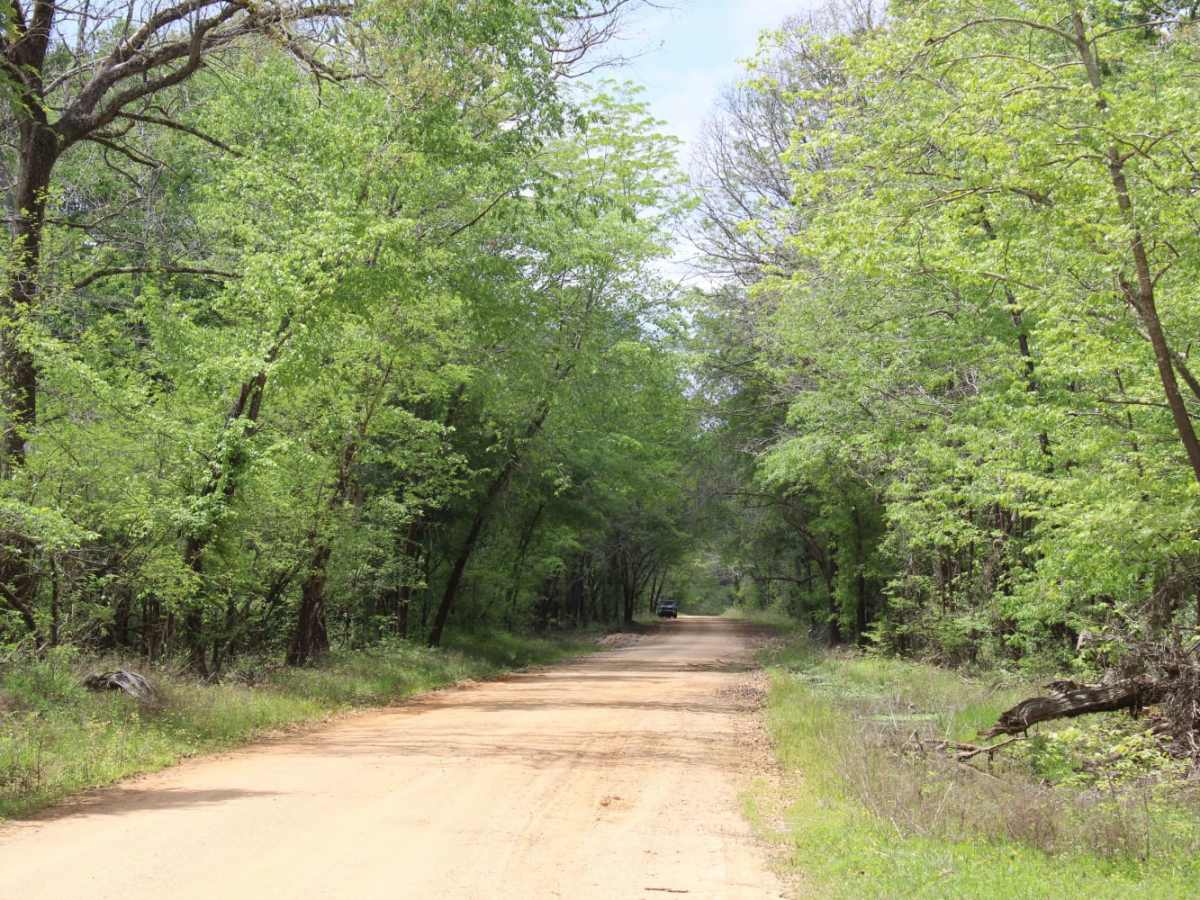
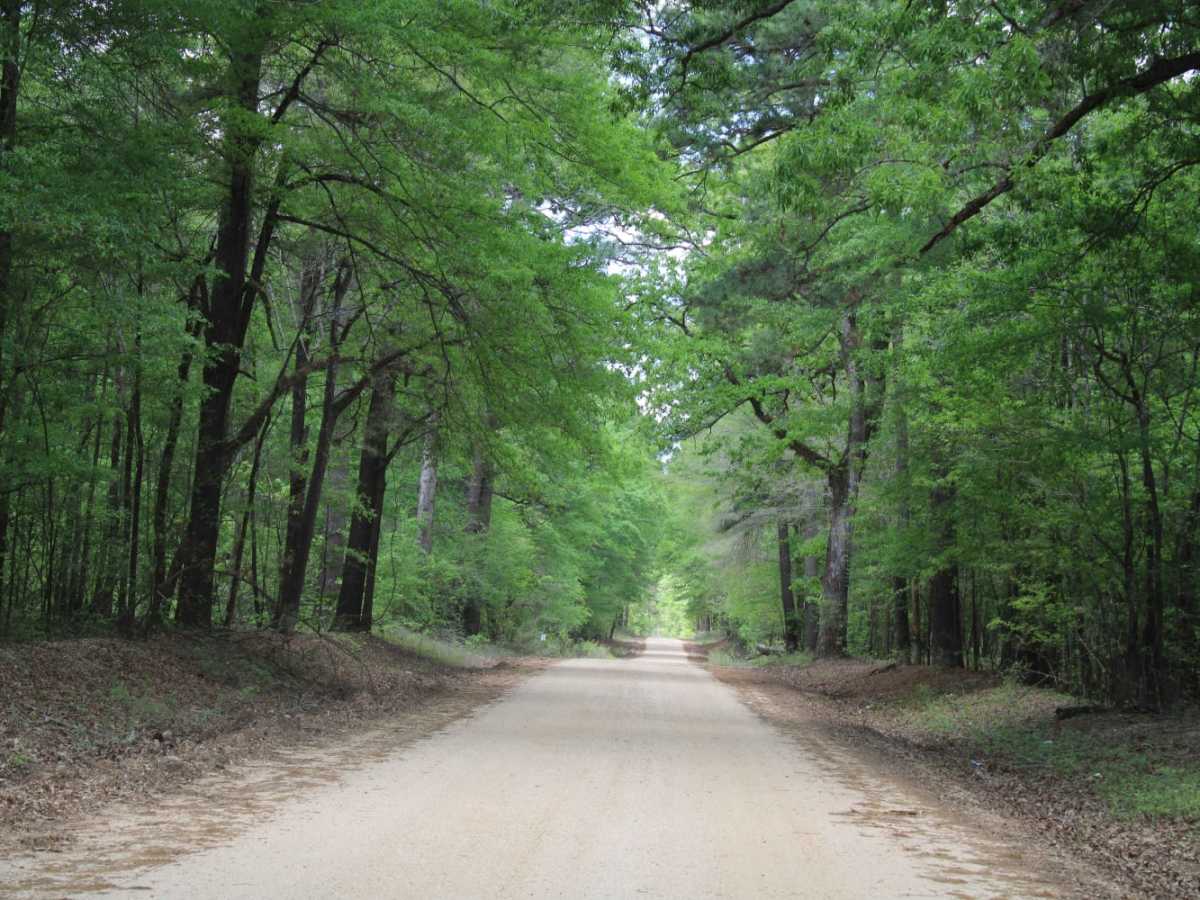
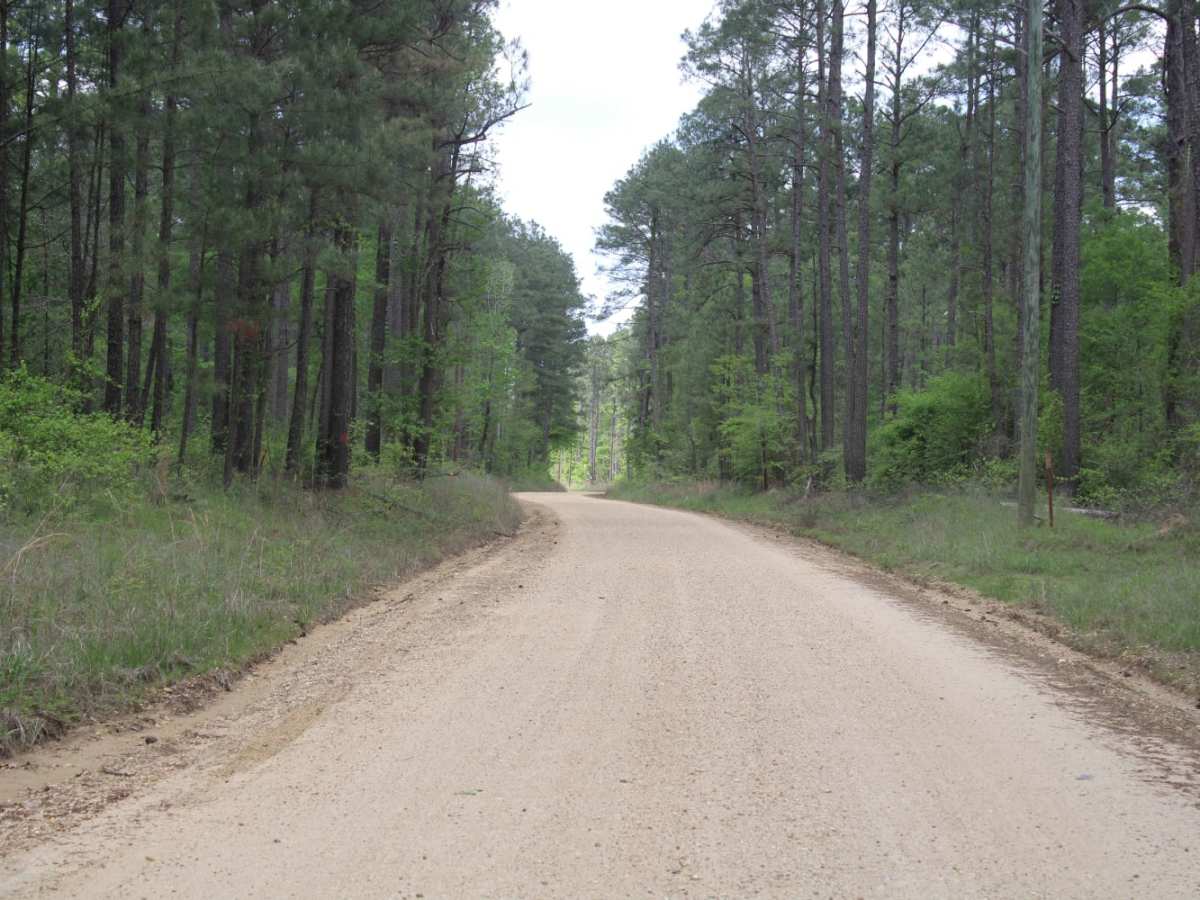
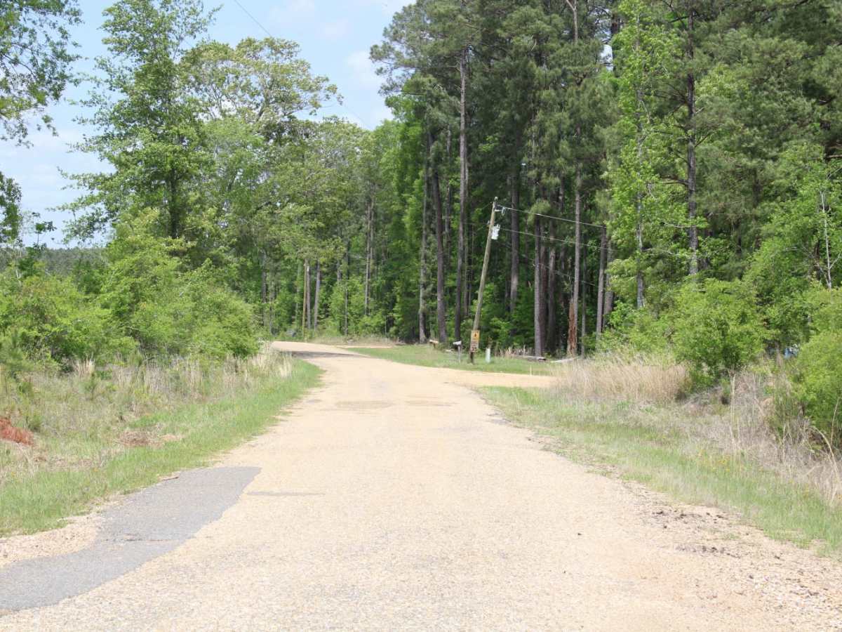
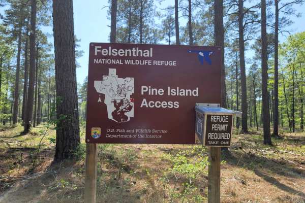
This is a mix of Pavement, dirt, and gravel. Some areas can be nasty when wet. Some areas can become flooded. Some areas have ruts. This trail ends at Felsenthal National Wildlife Refuge Lock and Dam Access. There are restrooms and camping in this area. There is Access to the Ouachita River.

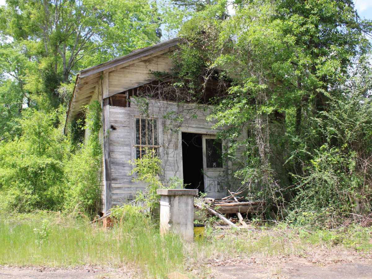
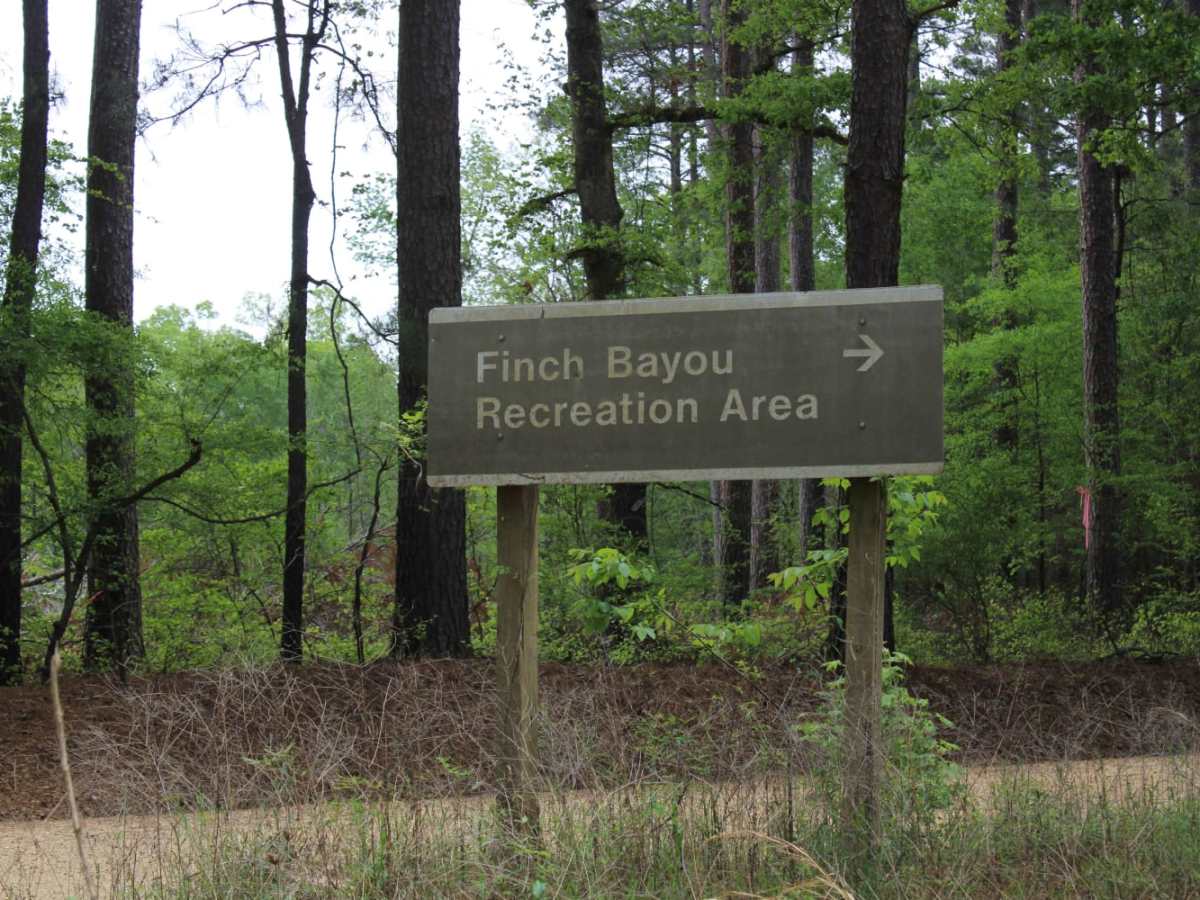
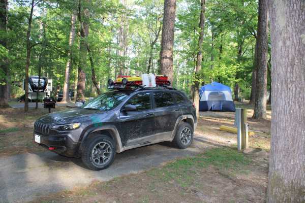
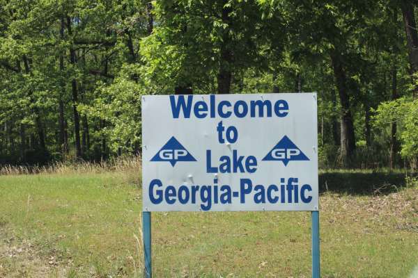
Photos of The Arkansas Overland Route - TrailHawk Loop - Section 26

Difficulty

Gravel and dirt can be messy when wet, some roads contain ruts.

Technical Rating

2

Status Reports

Add Status Report
Cameron Davis
Jan 22, 2025
2018 RAM 1500
Open
Muddy/Wet
Cameron Davis
Nov 18, 2024
2018 RAM 1500
Open
Muddy/WetRough/Deteriorated

The Arkansas Overland Route - TrailHawk Loop - Section 26 Trail can be accessed by the following ride types:

  • High Clearance
  • Full Width

The Arkansas Overland Route - TrailHawk Loop - Section 26 Map

The onX Offroad Difference

onX Offroad combines trail photos, descriptions, difficulty ratings, width restrictions, seasonality, and more in a user-friendly interface. Available on all devices, with offline access and full compatibility with CarPlay and Android Auto. Discover what you're missing today!

Open Trail Map