The Dead End Barrel
Total Miles
7.6
Technical Rating
Best Time
Spring, Summer, Fall, Winter
Trail Type
Full-Width Road
Accessible By
Trail Overview
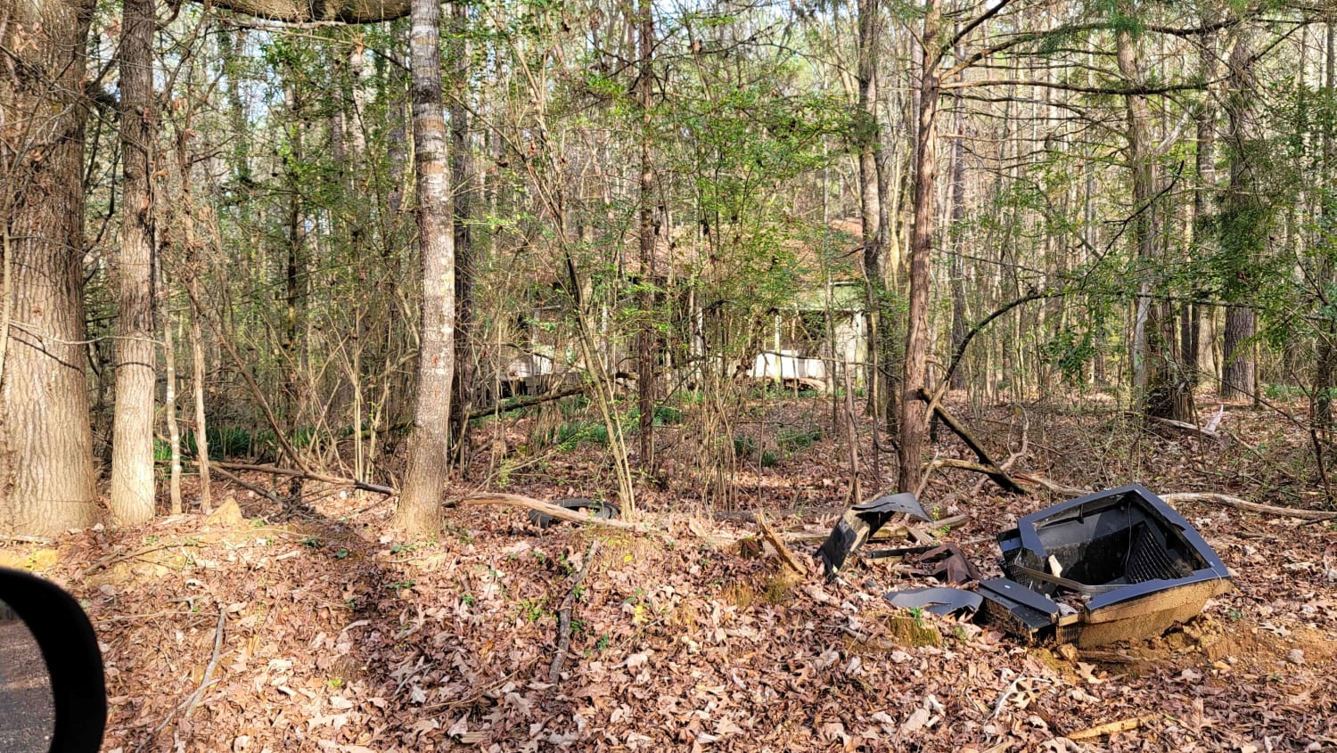
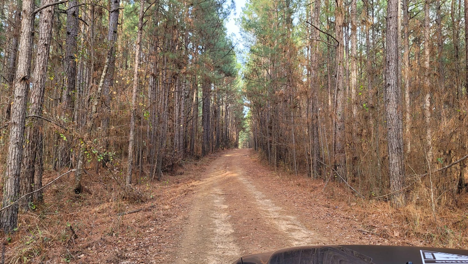
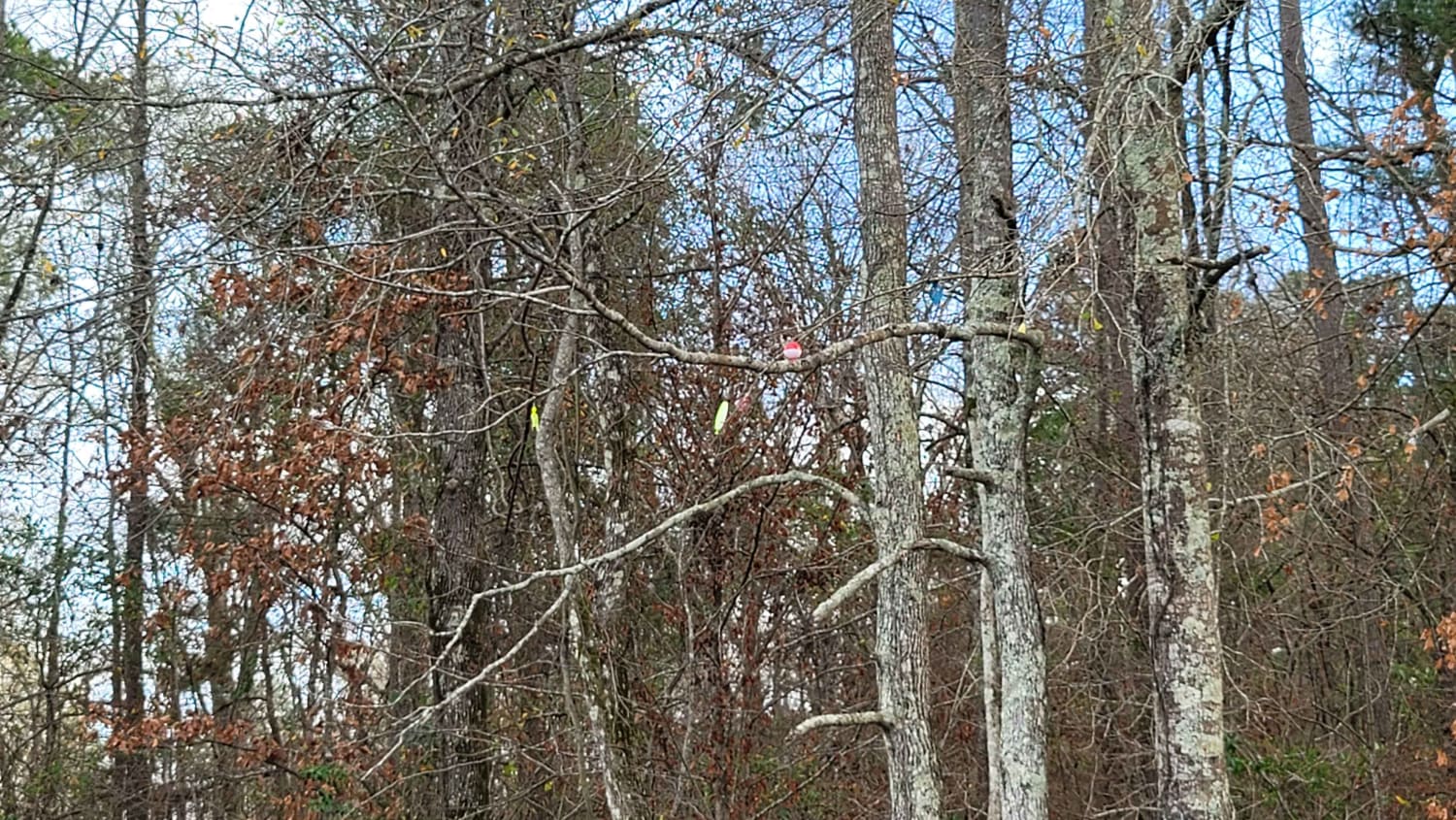
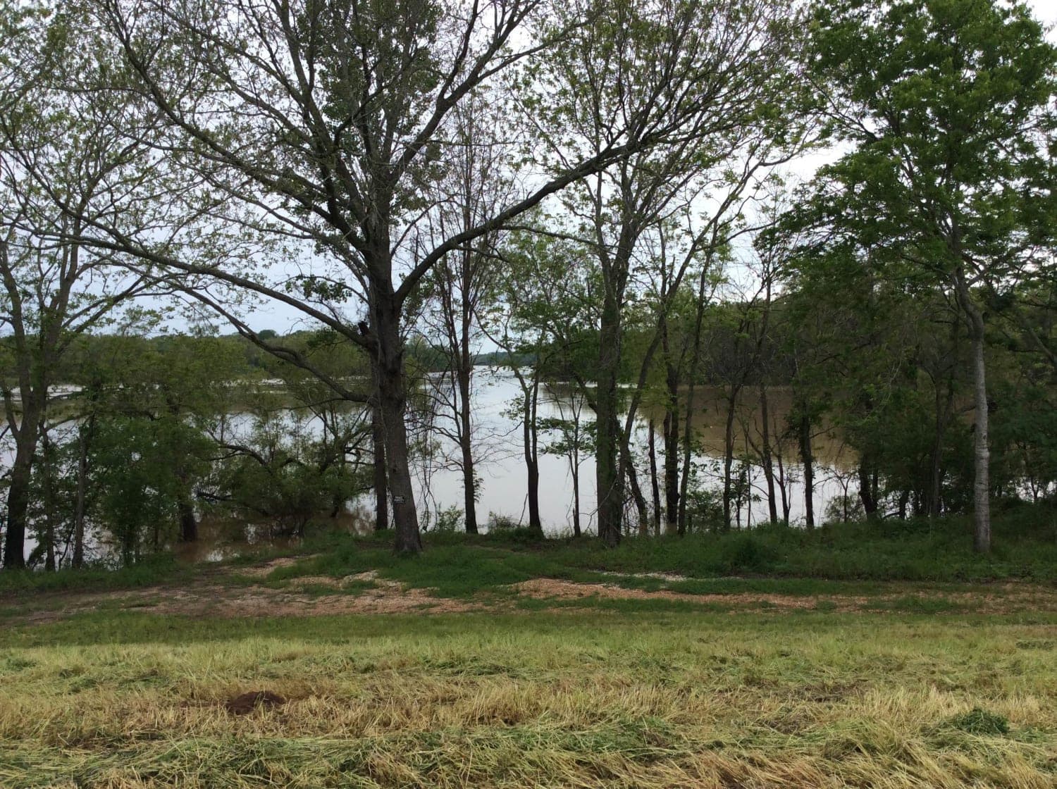
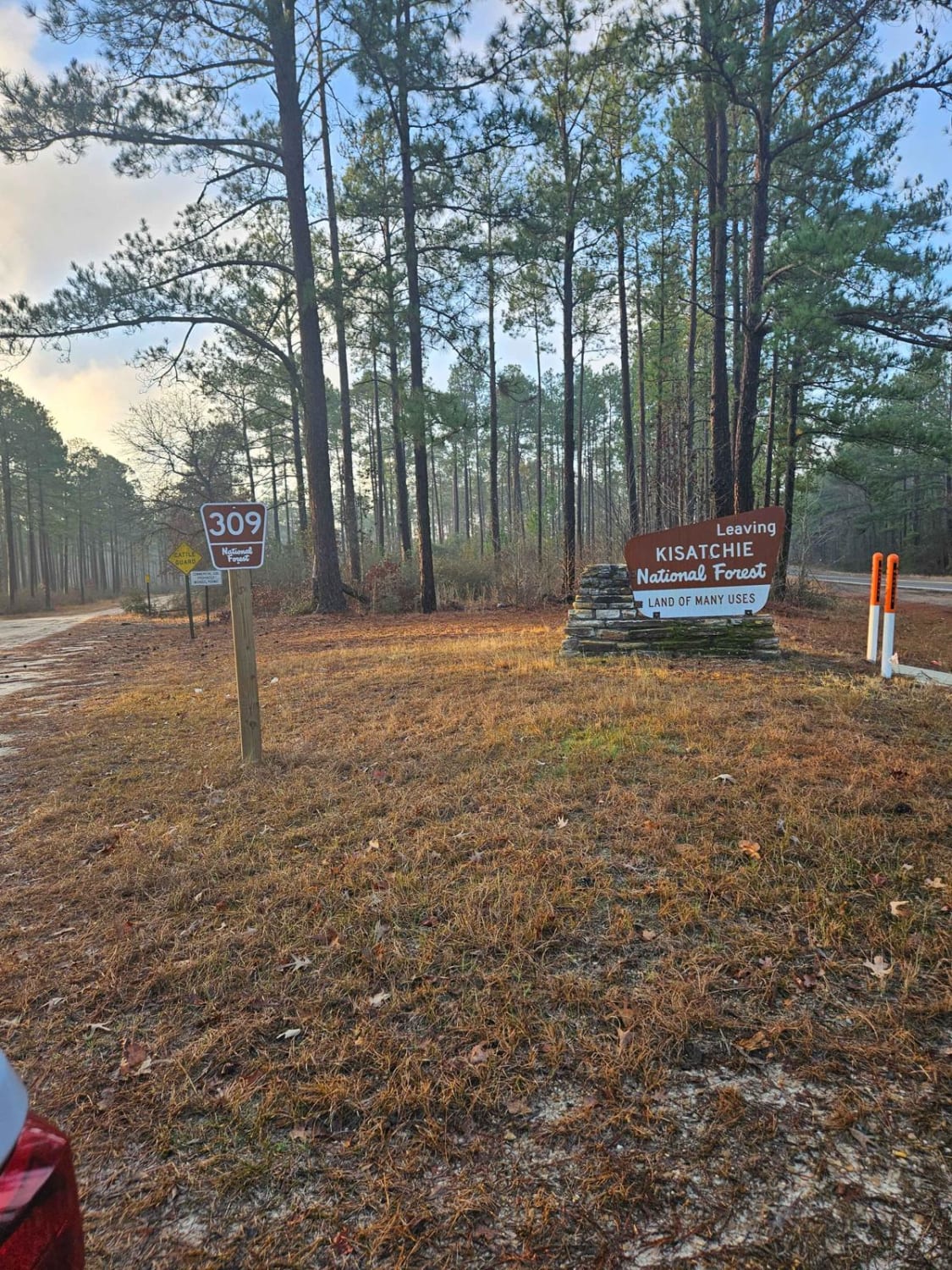
This trail has a bit of asphalt, dirt, and gravel. It goes to a cemetery and dead-ends at an oil structure. This trail is north of Ivan Lake and northwest of Williams Lake. You will also see an old deserted house on the right-hand side of the road.
Photos of The Dead End Barrel
Difficulty
Bumpy and can be muddy during or after rain.
Status Reports
The Dead End Barrel can be accessed by the following ride types:
- High-Clearance 4x4
- SUV
The Dead End Barrel Map
Popular Trails
Ivan Lake Trail

Connection 7
Red River Levee Trail
Kurthwood Road
The onX Offroad Difference
onX Offroad combines trail photos, descriptions, difficulty ratings, width restrictions, seasonality, and more in a user-friendly interface. Available on all devices, with offline access and full compatibility with CarPlay and Android Auto. Discover what you’re missing today!