To Yankee Springs Road
Total Miles
5.7
Technical Rating
Best Time
Spring, Summer, Fall, Winter
Trail Type
Full-Width Road
Accessible By
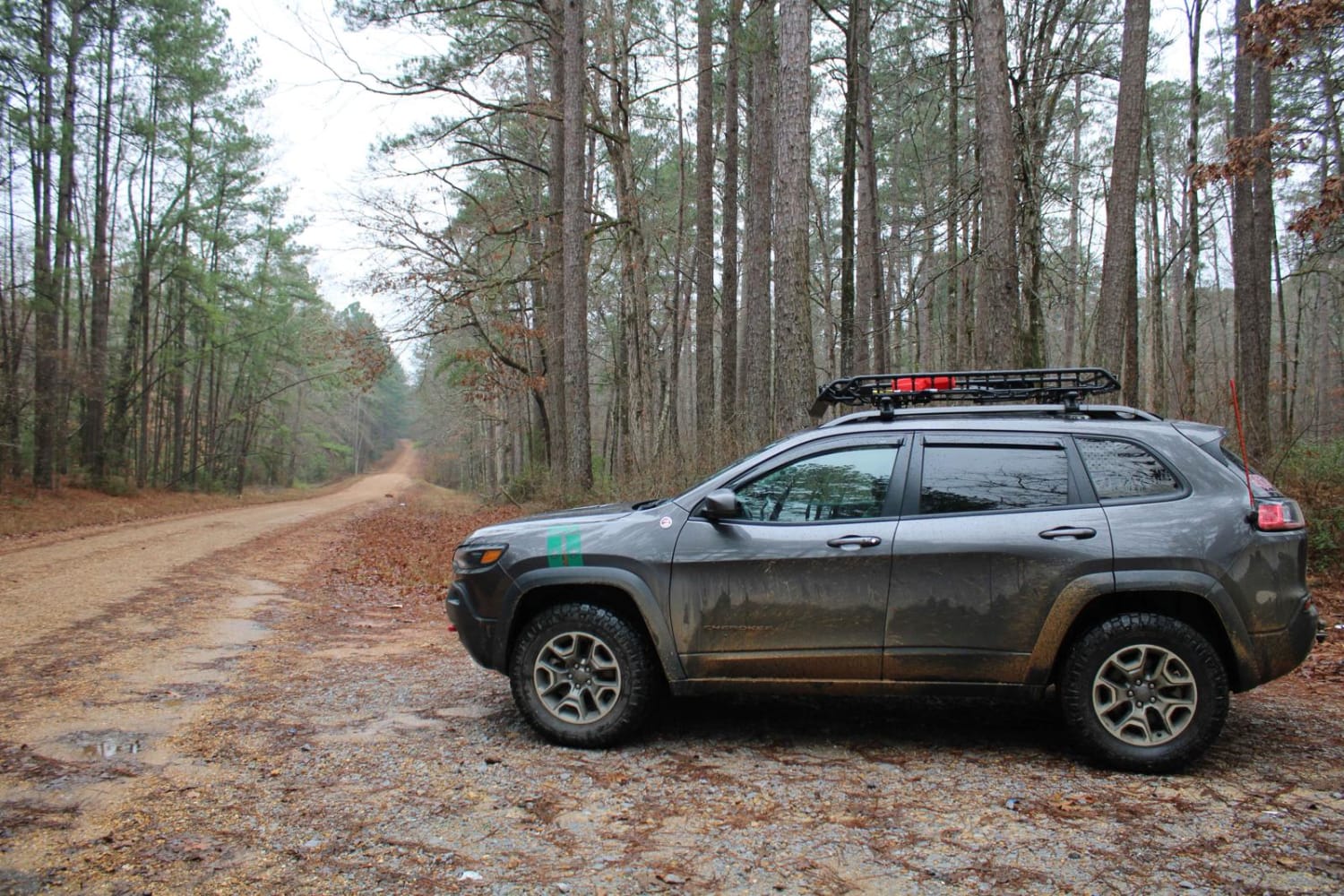
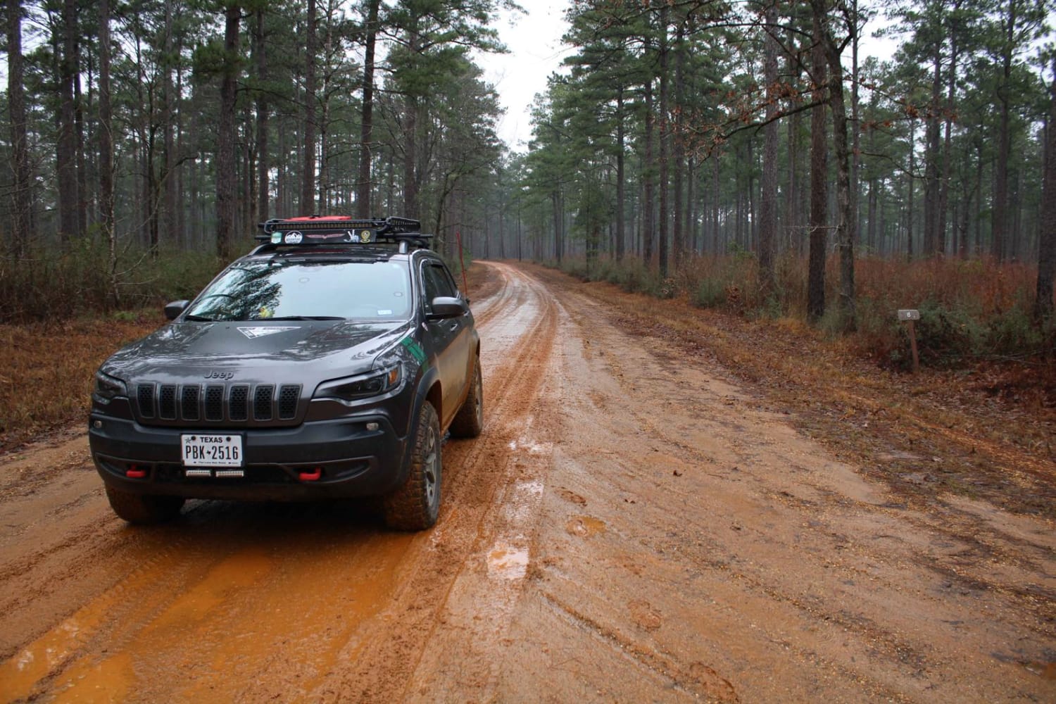
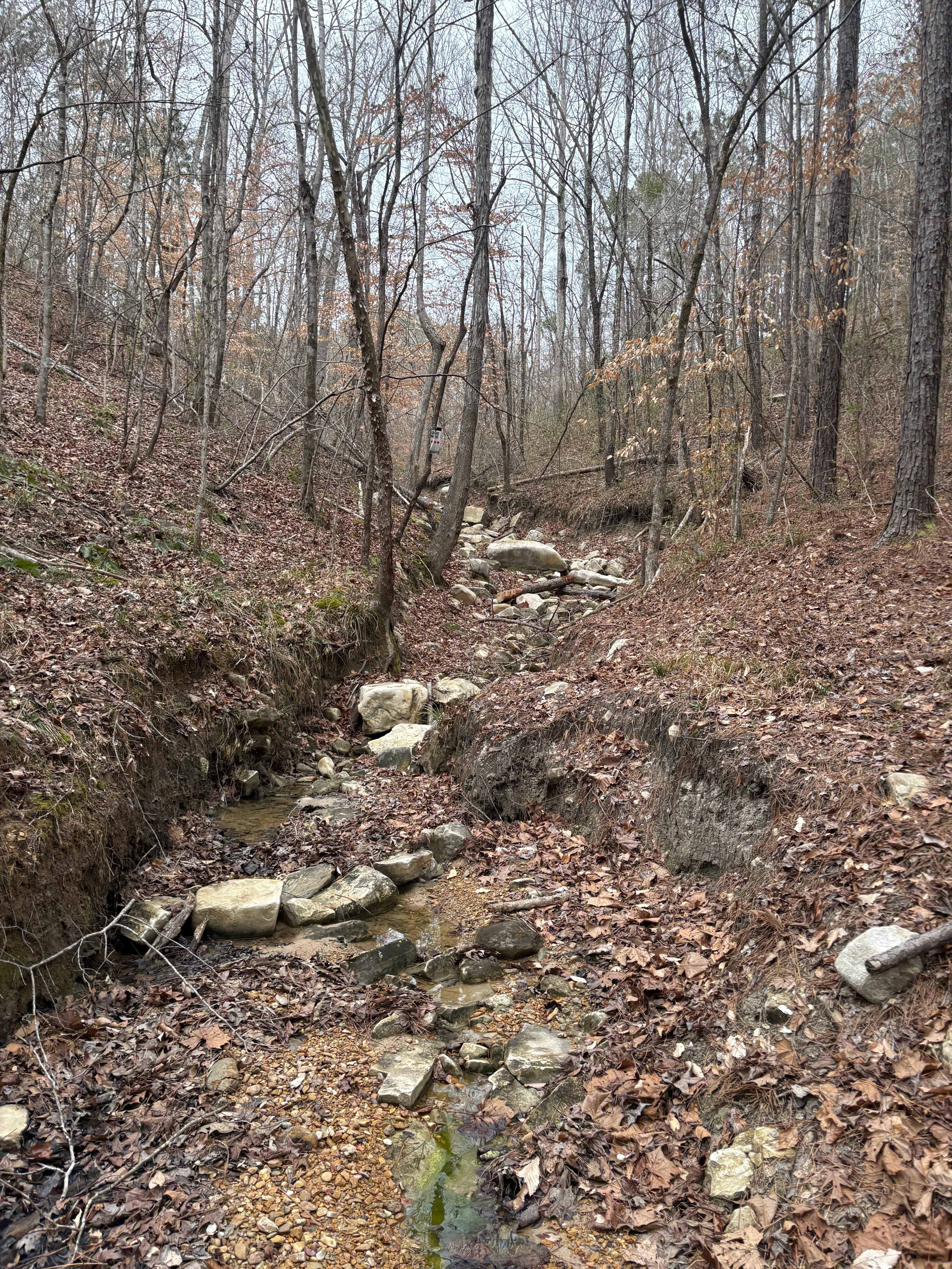
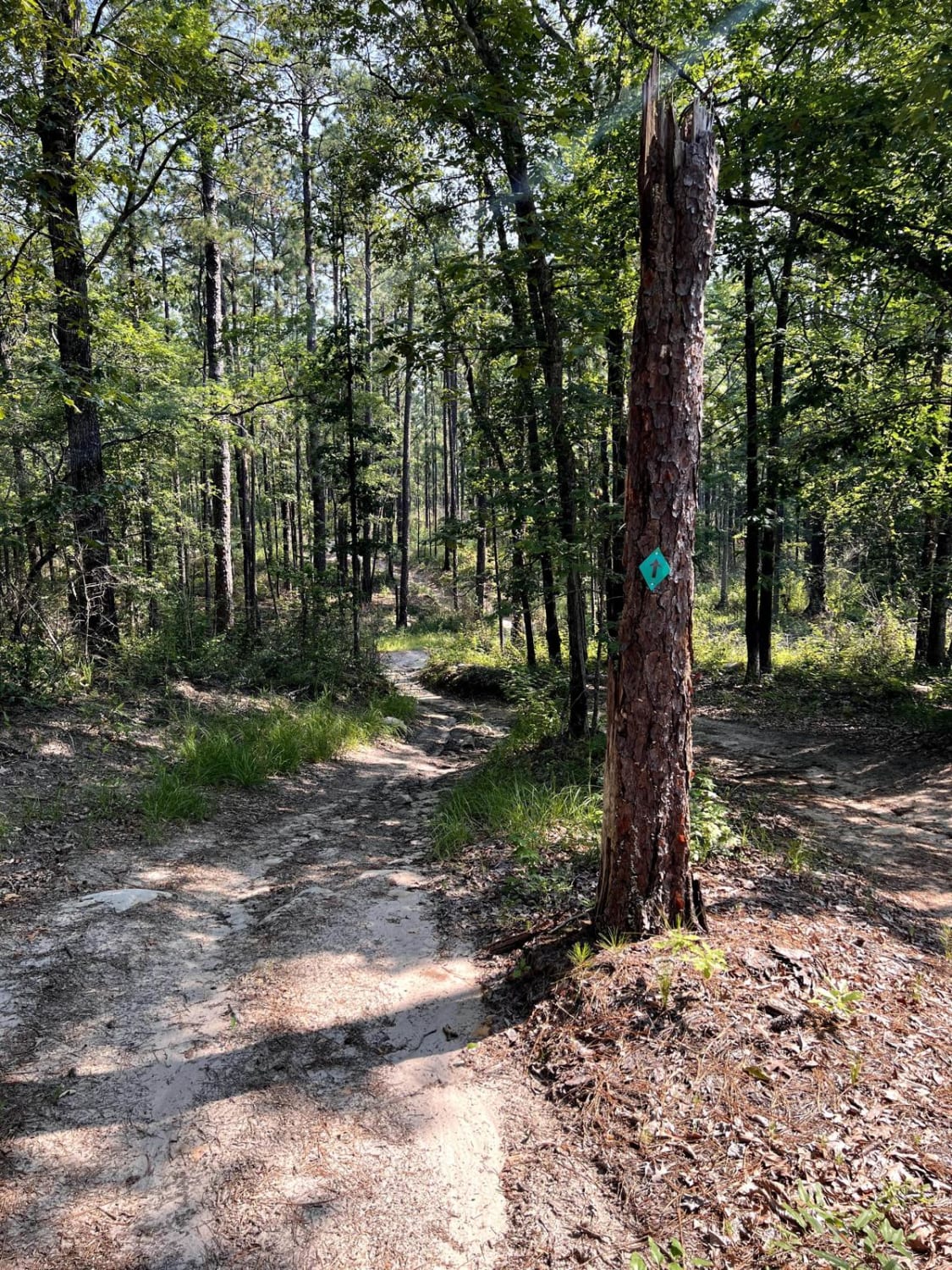
Trail Overview
Peterson Road continues south through the Kisatchie National Forest. This maintained gravel road has several side spurs to explore. Open forest areas offer great views. Peterson Road turns onto Dean Road turns onto East Weeks Road which ends at Yankee Springs Road. Yankee Springs Road is a paved road that travels east to Yankee Peak Observation Tower. Wildlife and open forest offer great views along this trail.
Photos of To Yankee Springs Road
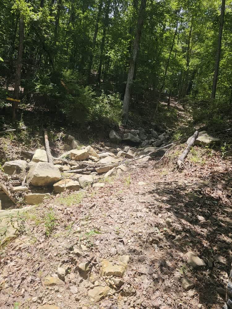
Difficulty
These are maintained gravel roads that are slippery and muddy when wet. There is enough gravel that getting stuck would be hard.
To Yankee Springs Road can be accessed by the following ride types:
- High-Clearance 4x4
- SUV
To Yankee Springs Road Map
Popular Trails
Stone Hindge
Old Creek Bed
The onX Offroad Difference
onX Offroad combines trail photos, descriptions, difficulty ratings, width restrictions, seasonality, and more in a user-friendly interface. Available on all devices, with offline access and full compatibility with CarPlay and Android Auto. Discover what you’re missing today!