The Arkansas Overland Route - TrailHawk Loop - Section 24
Total Miles
10.1
Technical Rating
Best Time
Spring, Summer, Fall, Winter
Trail Type
Full-Width Road
Accessible By
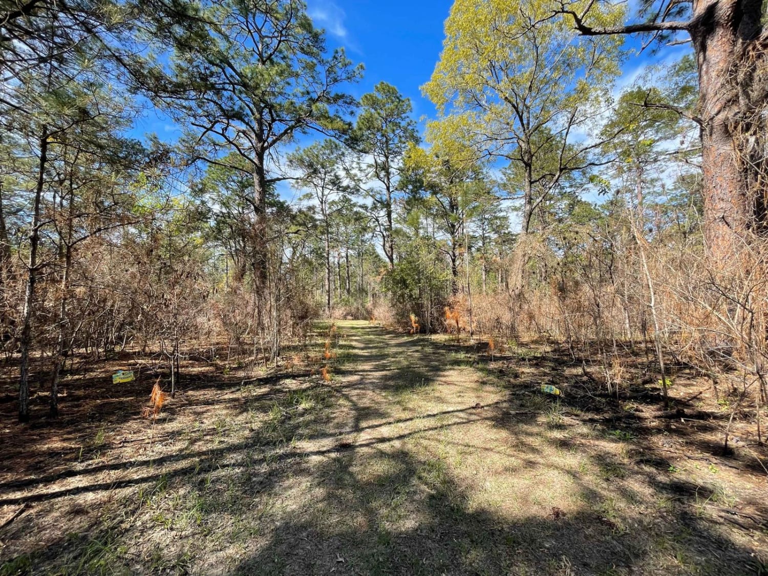
Trail Overview
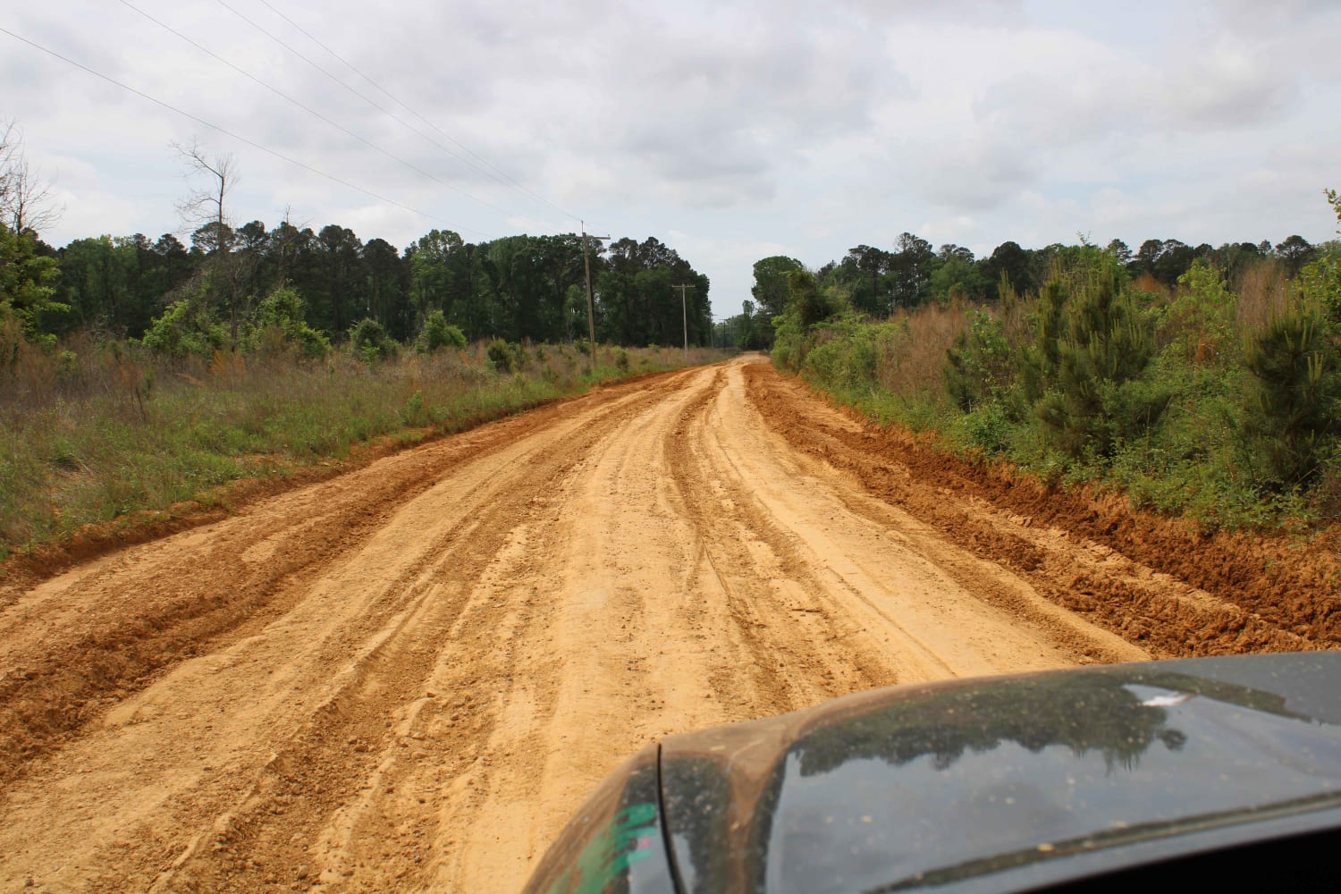
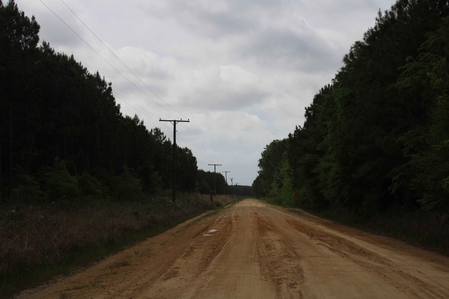
This is a mix of Pavement, dirt, and gravel. It contains a dead end and a route to Bastrop where a bite to eat and restock on supplies can be made. Some sections can be muddy and have water crossings. Some areas are very rough with deep ruts. This section can be very dusty.
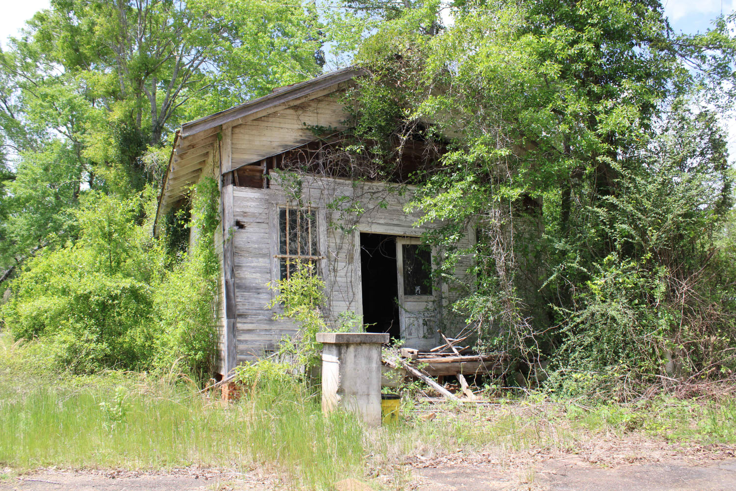
Photos of The Arkansas Overland Route - TrailHawk Loop - Section 24
Difficulty
Gravel and dirt can be nastey when wet.
Status Reports
The Arkansas Overland Route - TrailHawk Loop - Section 24 can be accessed by the following ride types:
- High-Clearance 4x4
- SUV
The Arkansas Overland Route - TrailHawk Loop - Section 24 Map
Popular Trails
The Arkansas Overland Route - TrailHawk Loop - Section 26
Jackson Parish Line Trail

Connection 7
The onX Offroad Difference
onX Offroad combines trail photos, descriptions, difficulty ratings, width restrictions, seasonality, and more in a user-friendly interface. Available on all devices, with offline access and full compatibility with CarPlay and Android Auto. Discover what you’re missing today!