Off-Road Trails in Arizona

Discover off-road trails in Arizona

Learn more about Walnut Canyon
Walnut Canyon

Walnut Canyon

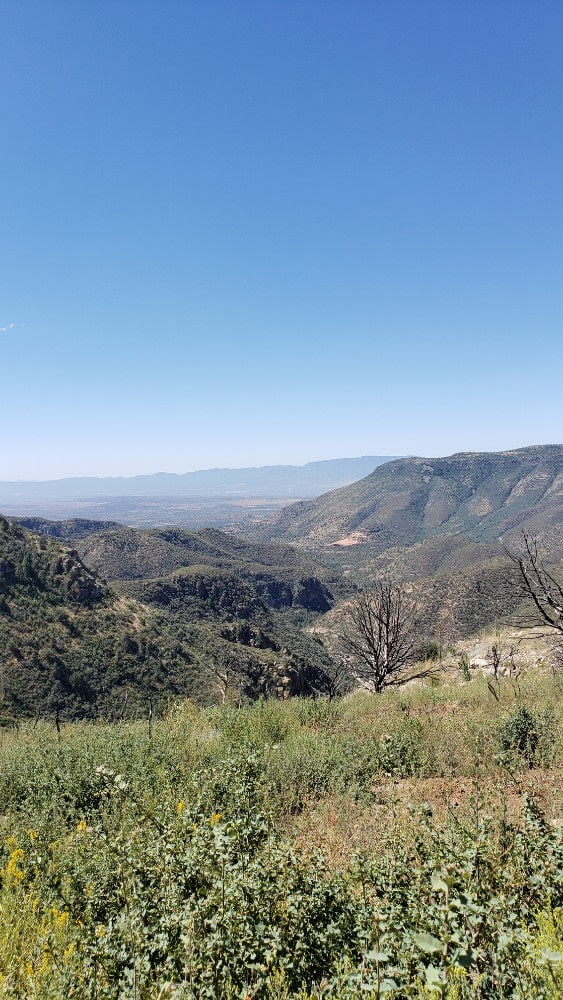
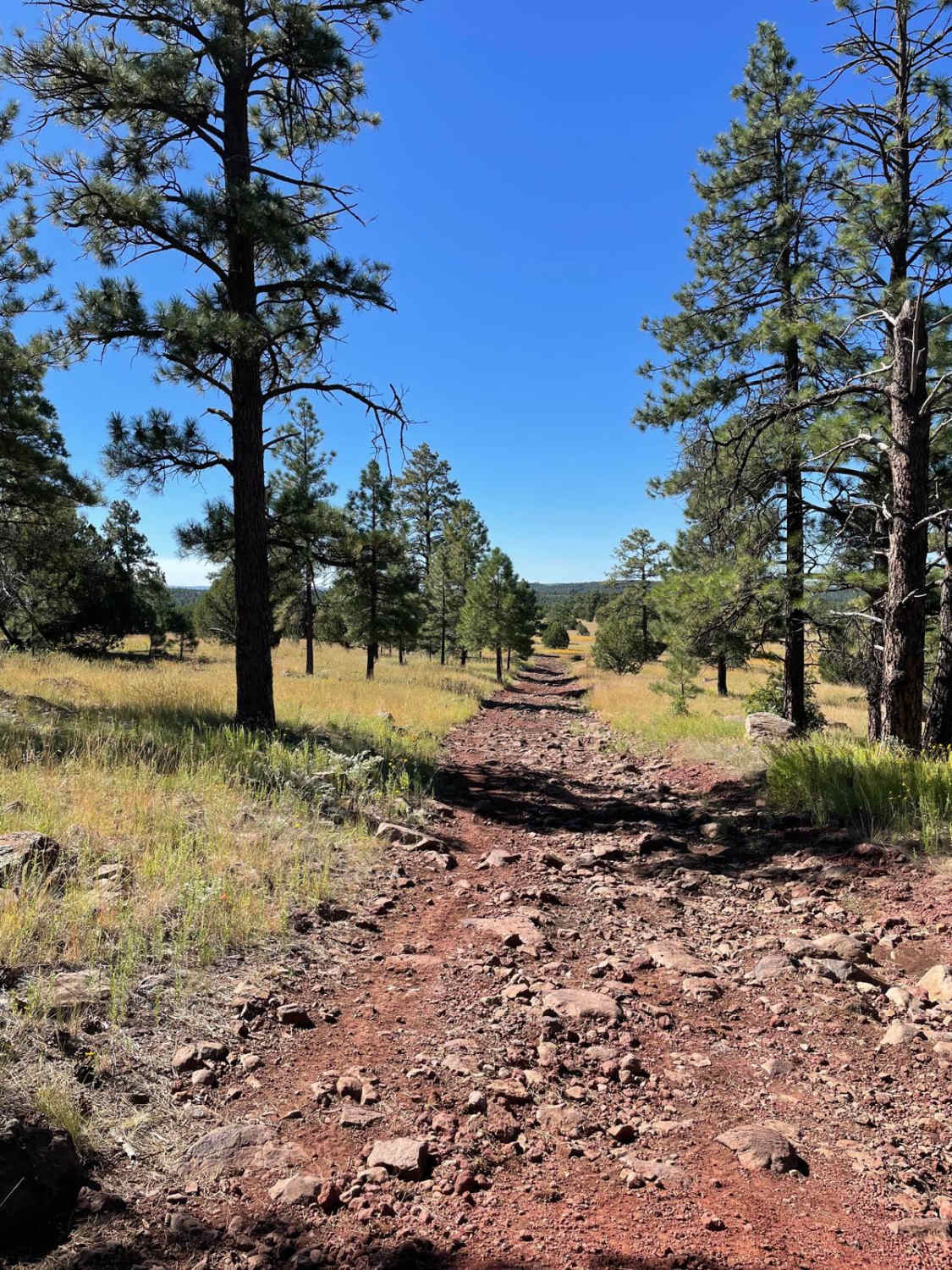
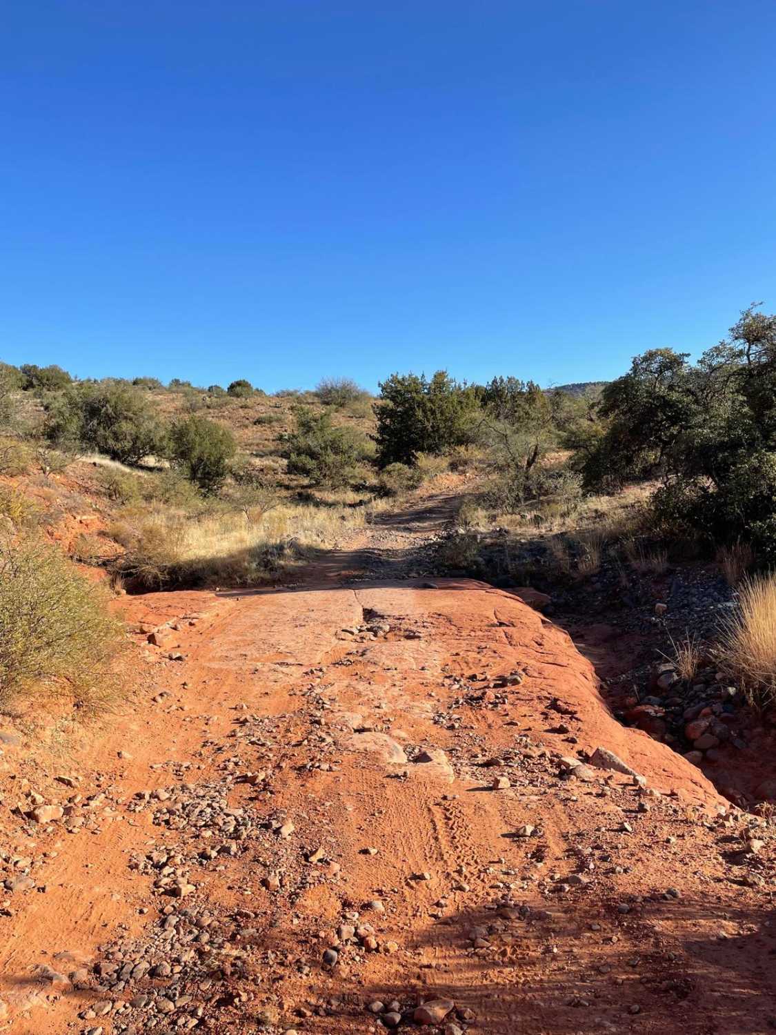
Walnut Canyon is certainly one of the most scenic Jeep trails in the area. It skirts the edge of White Canyon Wilderness, and the canyons and mountains along the trail are spectacular. Much of the…
Learn more about Walnut Canyon
Total Miles
14.1
Tech Rating
5 Moderate
Best Time
Spring, Fall
Learn more about Walnut Creek
Walnut Creek

Walnut Creek

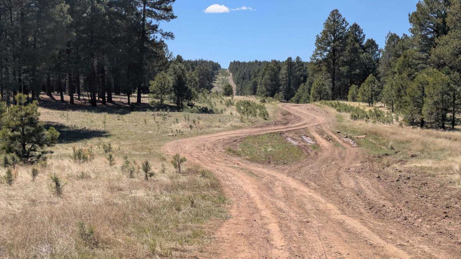
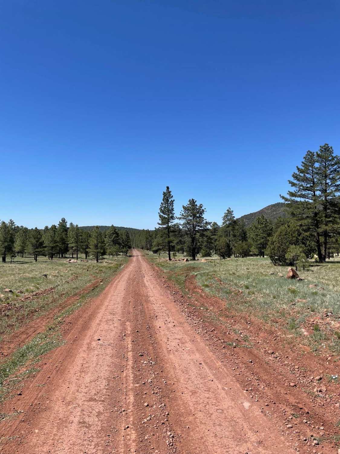
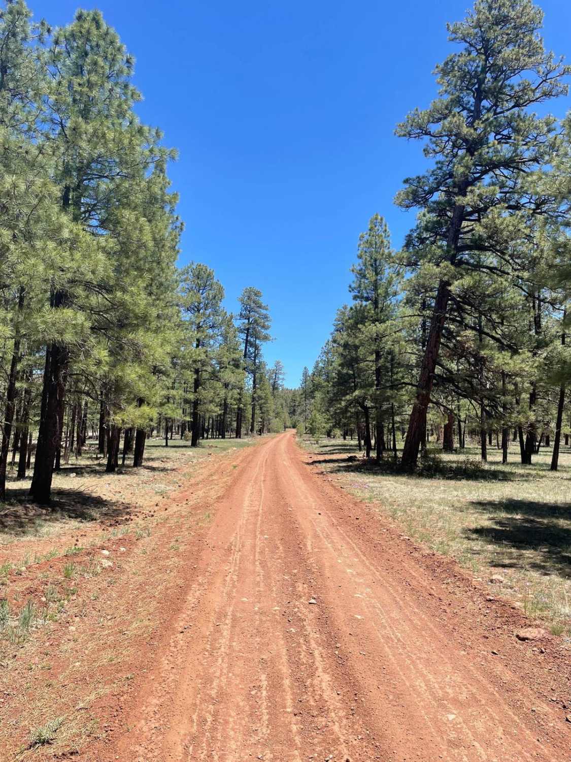
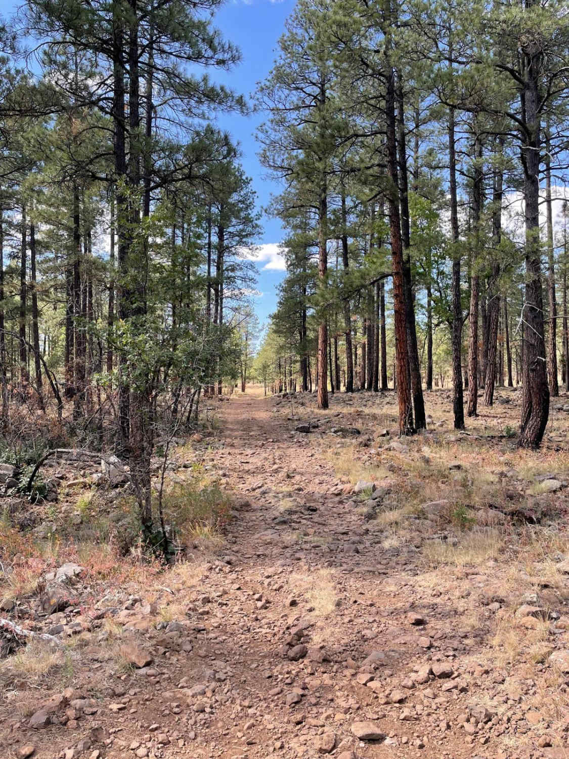
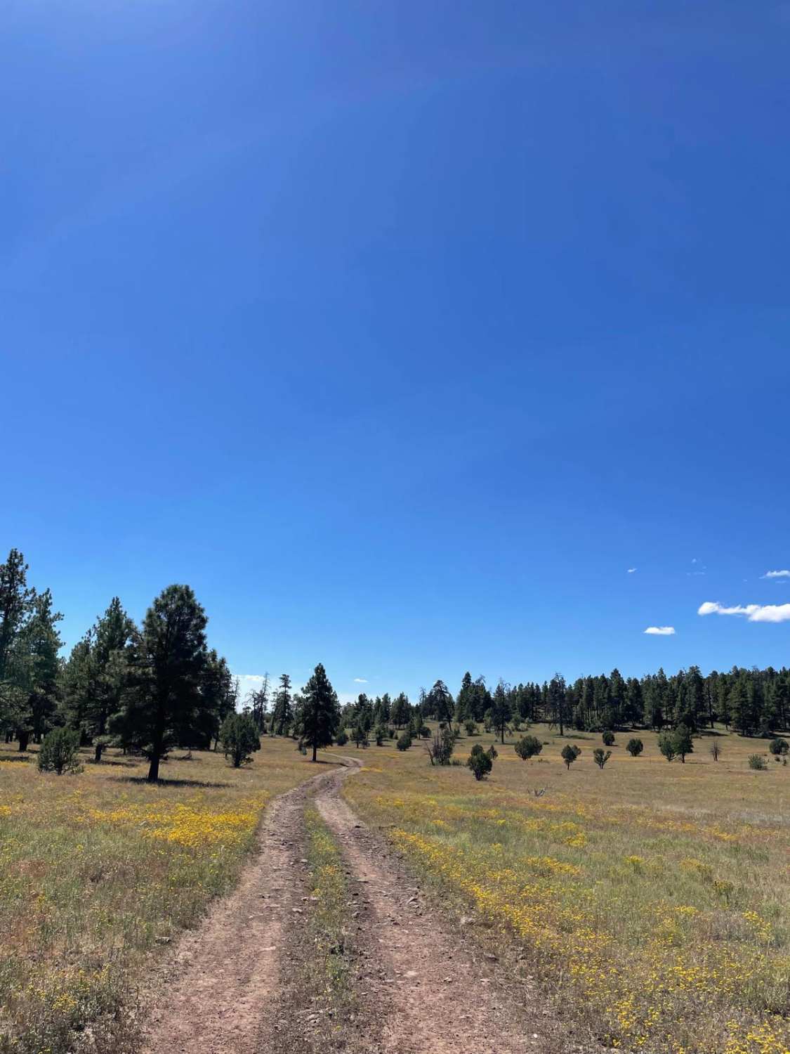
Walnut Creek's north end is peppered with wash crossings, thick juniper, and mixed pine trees. As you progress to the south, you'll move into a beautiful old-growth forest of ponderosa pine. A popular area with…
Learn more about Walnut Creek
Total Miles
10.9
Tech Rating
2 Easy
Best Time
Spring, Summer, Fall
Learn more about Walnut Creek to Survivalist Camp Trail
Walnut Creek to Survivalist Camp Trail

Walnut Creek to Survivalist Camp Trail

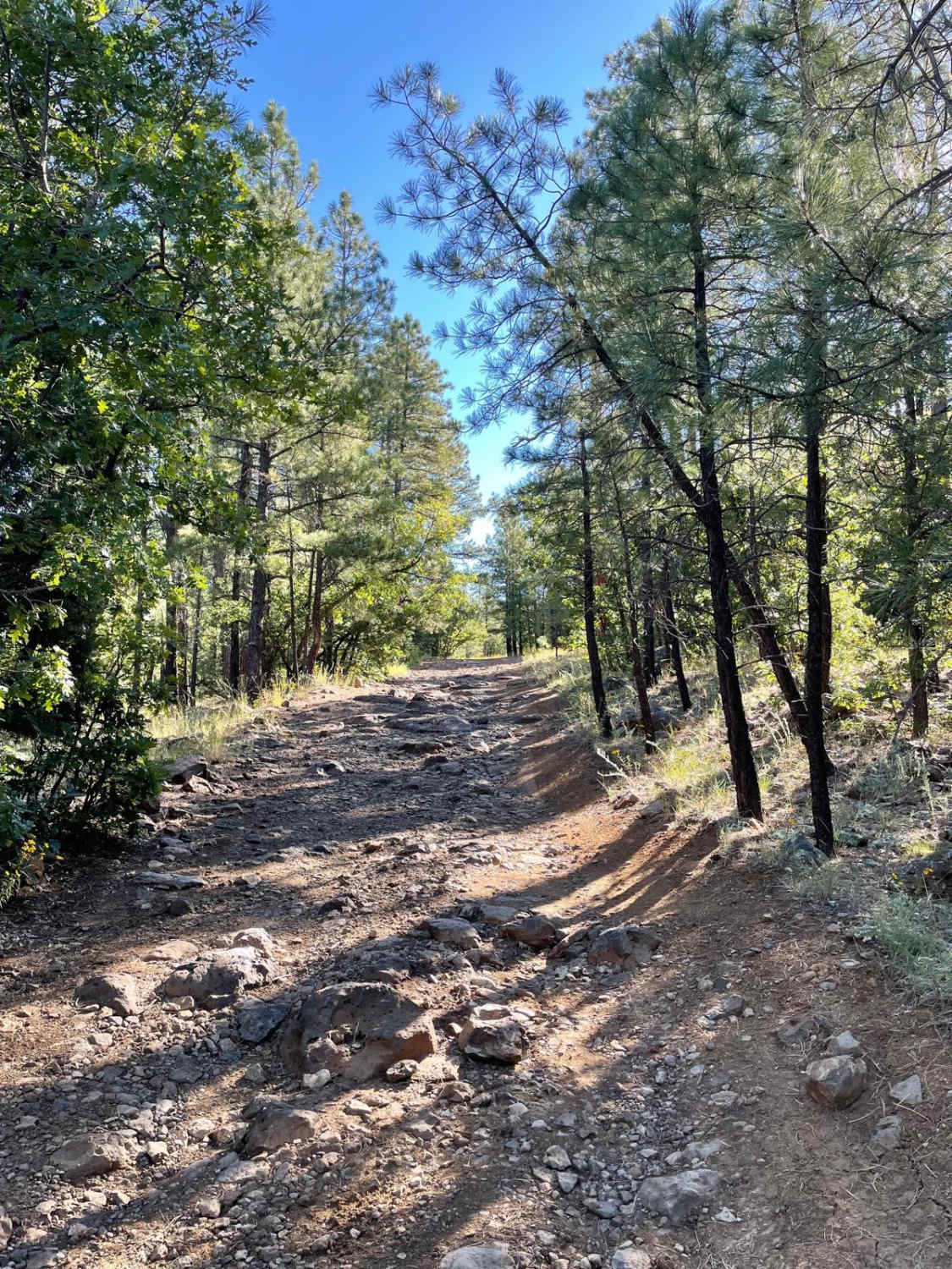
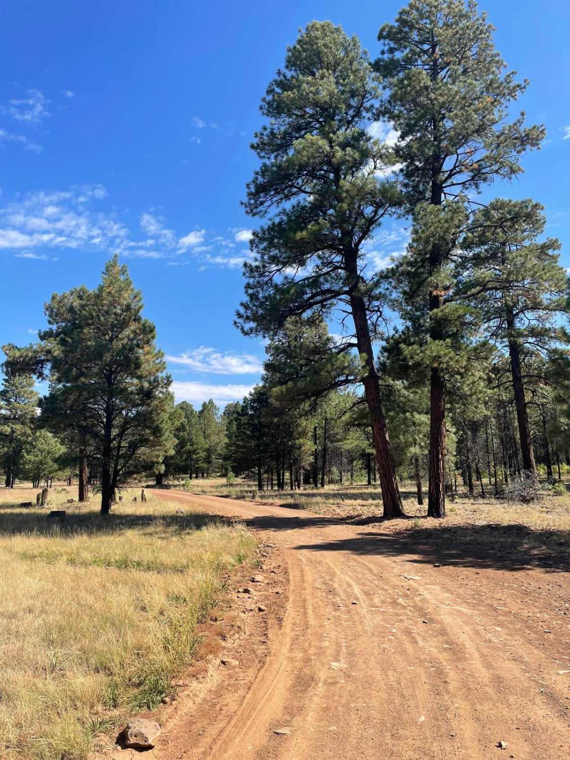
This 17.1-mile point-to-point trail takes you along Walnut Creek (seasonal water flow) past Walnut Ranch and the Hualapai Survivalist Camp and connects to the Hualapai Mountain Trail. At 0.7 miles on the trail, right before…
Learn more about Walnut Creek to Survivalist Camp Trail
Total Miles
16.9
Tech Rating
3 Easy
Best Time
Spring, Summer, Fall, Winter
Learn more about Walnut Overlook
Walnut Overlook

Walnut Overlook

Come off the Walnut Canyon Trail to the Walnut Overlook. This is a level 6 trail difficulty to be sure to have a high clearance vehicle. Expect washes, large rocks, and water crossing depending on…
Learn more about Walnut Overlook
Total Miles
0.6
Tech Rating
6 Moderate
Best Time
Summer, Fall
Learn more about Walnut Spring Trail
Walnut Spring Trail

Walnut Spring Trail

This out-and-back trail begins right off Seven Spring Road, and immediately there is a sandy river wash to cross. Be aware that it could be hazardous in flash flooding conditions. Shortly after, there is a…
Learn more about Walnut Spring Trail
Total Miles
3.5
Tech Rating
2 Easy
Best Time
Spring, Summer, Fall, Winter
Learn more about Ward
Ward

Ward

Ward is a 6.3-mile long single track in the Coconino National Forest south of Flagstaff, Arizona, in the Kelly Motorized Trail System. Most of the trail is made up of many rocky sections, with big…
Learn more about Ward
Total Miles
6.1
Tech Rating
5 Moderate
Best Time
Spring, Fall, Summer
Learn more about Warm Springs
Warm Springs

Warm Springs

This road forms the boundary of Warm Springs Wilderness for over half the way. This is a very bumpy, and quite boring, trail that makes a loop along the edge of Warm Springs Wilderness. We…
Learn more about Warm Springs
Total Miles
28.2
Tech Rating
5 Moderate
Best Time
Summer, Fall
Learn more about Wash ORV Route
Wash ORV Route

Wash ORV Route

The Wash ORV Route starts on the south end at the trail marker off of the Powerline ORV Loop and goes north through a red sandy wash made of fine smooth sand. It goes underneath…
Learn more about Wash ORV Route
Total Miles
1.3
Tech Rating
2 Easy
Best Time
Winter, Fall, Spring
Learn more about Washboard Wash
Washboard Wash

Washboard Wash

Washboard Wash is part of the Havasu to Kingman connector trail and is best accessed from the south trailhead off State Highway 95 North of Lake Havasu City. You will need to air down if…
Learn more about Washboard Wash
Total Miles
4.9
Tech Rating
3 Easy
Best Time
Fall, Winter
Learn more about Washboard Way
Washboard Way

Washboard Way

Washboard Way is named for, you guessed it, its washboard-type terrain that encompasses the entirety of its length. Wide and rolling, this trail is somewhat busy, serving as an access point for ranch owners, hunters,…
Learn more about Washboard Way
Total Miles
10.7
Tech Rating
1 Easy
Best Time
Spring, Summer, Fall
Learn more about Washout Canyon
Washout Canyon

Washout Canyon

This rocky trail starts right off the Main AZPT Route. Near the beginning are some wide open, heavily used campsites with lovely established rock fire rings. From there, the trail heads over the hill and…
Learn more about Washout Canyon
Total Miles
1.2
Tech Rating
6 Moderate
Best Time
Spring, Fall, Winter
Learn more about Water Draw Loop
Water Draw Loop

Water Draw Loop

This is a loop trail with a moderate hill at east end. It is flat and winding through the trees. It's a fairly easy ride, but the hill is a bit more difficult.
Learn more about Water Draw Loop
Total Miles
2.6
Tech Rating
4 Moderate
Best Time
Spring, Summer, Fall
Learn more about Waters Draw
Waters Draw

Waters Draw

This is a quick, fun and easy trail. You'll get a good variety of views with wooded trails, open power line roads, and a large rocky area next to the trail. There is a loop…
Learn more about Waters Draw
Total Miles
0.6
Tech Rating
3 Easy
Best Time
Spring, Summer, Fall
Learn more about Watershed
Watershed

Watershed

Watershed is a 50" trail near Prescott, Arizona that starts right off of the Senator Highway. There is a dirt parking lot at the northwest entrance to the trail for staging. Starting from the parking…
Learn more about Watershed
Total Miles
3.7
Tech Rating
4 Moderate
Best Time
Spring, Fall
Learn more about Welch 35 Aux
Welch 35 Aux

Welch 35 Aux

Welch 35 Aux is a primarily rocky trail that heads East and then North adjacent to Sawtooth Peak. This trail tells the story of what is typical with inclines in the hills of Arizona, as…
Learn more about Welch 35 Aux
Total Miles
2.4
Tech Rating
3 Easy
Best Time
Spring, Summer, Fall
Learn more about Wellton to Ligurta Offroad Spur
Wellton to Ligurta Offroad Spur

Wellton to Ligurta Offroad Spur

This is an offroad spur between Wellton and Ligurta, Arizona, and has a popular roadside restaurant/watering hole. It's the perfect place to stop by for great food and refreshments. Popular to off-roaders, the menu includes…
Learn more about Wellton to Ligurta Offroad Spur
Total Miles
8.3
Tech Rating
1 Easy
Best Time
Spring, Summer, Winter
Learn more about Wellton, AZ to Muggins Mountain Trails access route
Wellton, AZ to Muggins Mountain Trails access route

Wellton, AZ to Muggins Mountain Trails access route

This is an easy access route from Wellton, AZ to the 3 Muggins Mountain Trails: Muggins Mountain West, Muggins Mountain Mid West, and Muggins Mountain East. This trek, if not previously mapped out, can be…
Learn more about Wellton, AZ to Muggins Mountain Trails access route
Total Miles
23.5
Tech Rating
1 Easy
Best Time
Spring, Summer, Fall, Winter
Learn more about West Buzzard Ridge
West Buzzard Ridge

West Buzzard Ridge

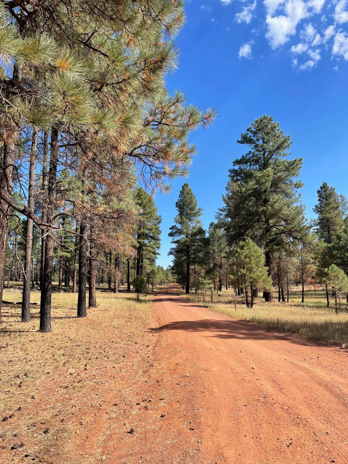
West Buzzard Ridge trail (FS RD 9015H) is a scenic point-to-point trail under the Ponderosa pines of the Coconino National Forest northwest of Sedona, AZ. The trail, which can be accessed by most vehicles, does…
Learn more about West Buzzard Ridge
Total Miles
1.4
Tech Rating
2 Easy
Best Time
Spring, Summer, Fall
Learn more about West Cherry Creek Road
West Cherry Creek Road

West Cherry Creek Road

West Cherry Creek Road is a very scenic trail that clocks in at 10.4 miles long. The beginning of this trail starts just outside of the little town of Cherry, Arizona. The trail traverses through…
Learn more about West Cherry Creek Road
Total Miles
10.4
Tech Rating
1 Easy
Best Time
Spring, Summer, Fall
Learn more about West End Preacher Pass
West End Preacher Pass

West End Preacher Pass

This western section leads to the main preacher pass trail or splits to take you north back to the Main Arizona Peace Trail. There are some sandy and sharp rocks sections, but it's generally quite…
Learn more about West End Preacher Pass
Total Miles
5.2
Tech Rating
3 Easy
Best Time
Winter, Fall, Spring

Go Farther

Try onX Offroad Elite for free for a week — no strings attached. Get access to thousands of off-road dirt trails and snowmobile trails across the nation. View your favorite zones in 3D. Send trails to friends. Start planning the trip of a lifetime now.