Off-Road Trails in Oregon
Discover off-road trails in Oregon
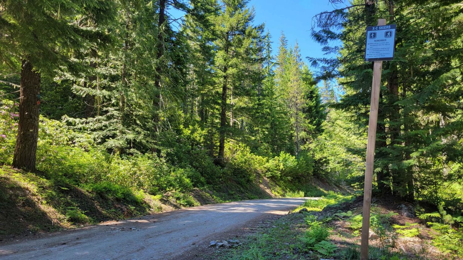
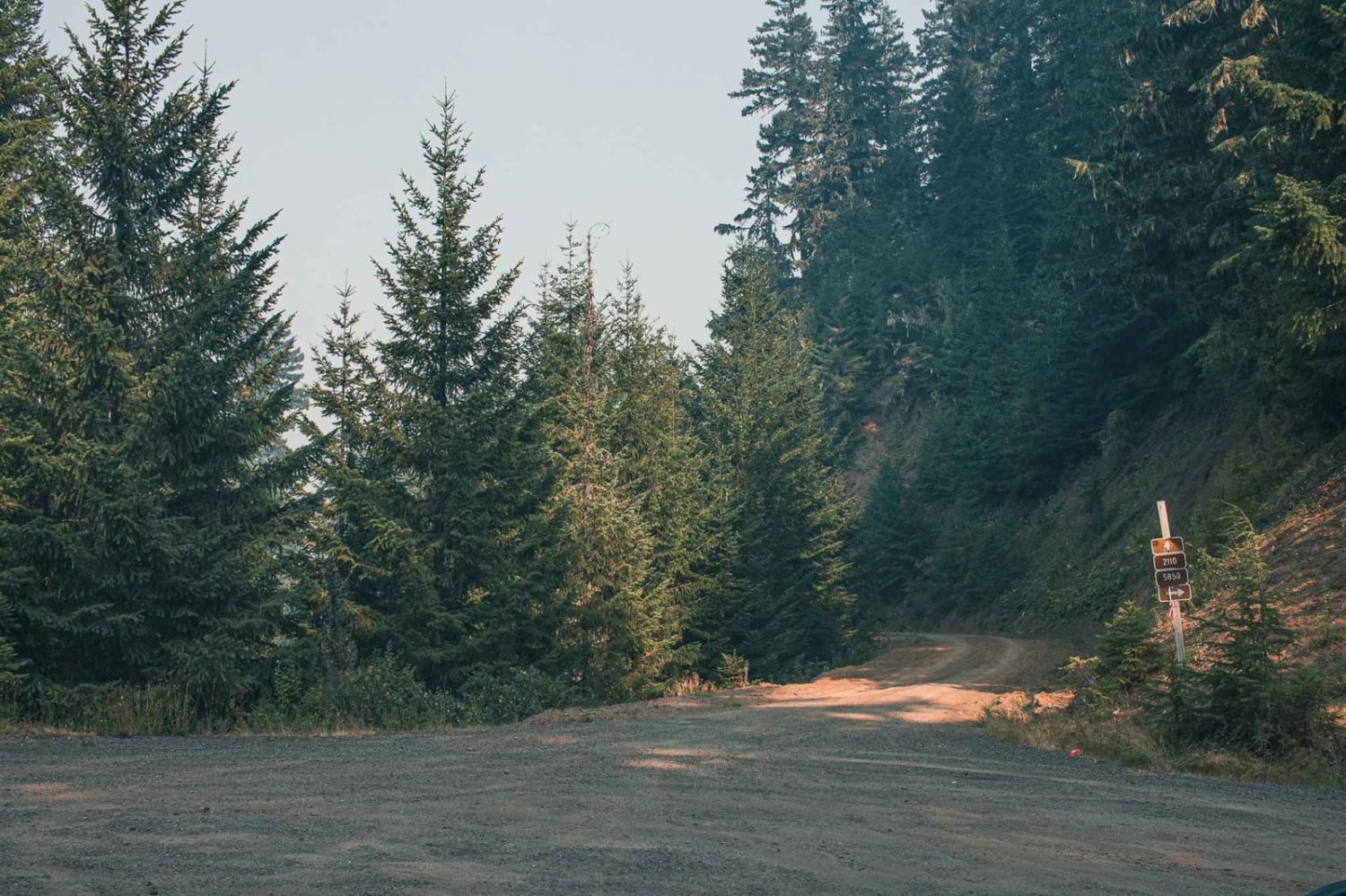
Learn more about Stonehouse Road
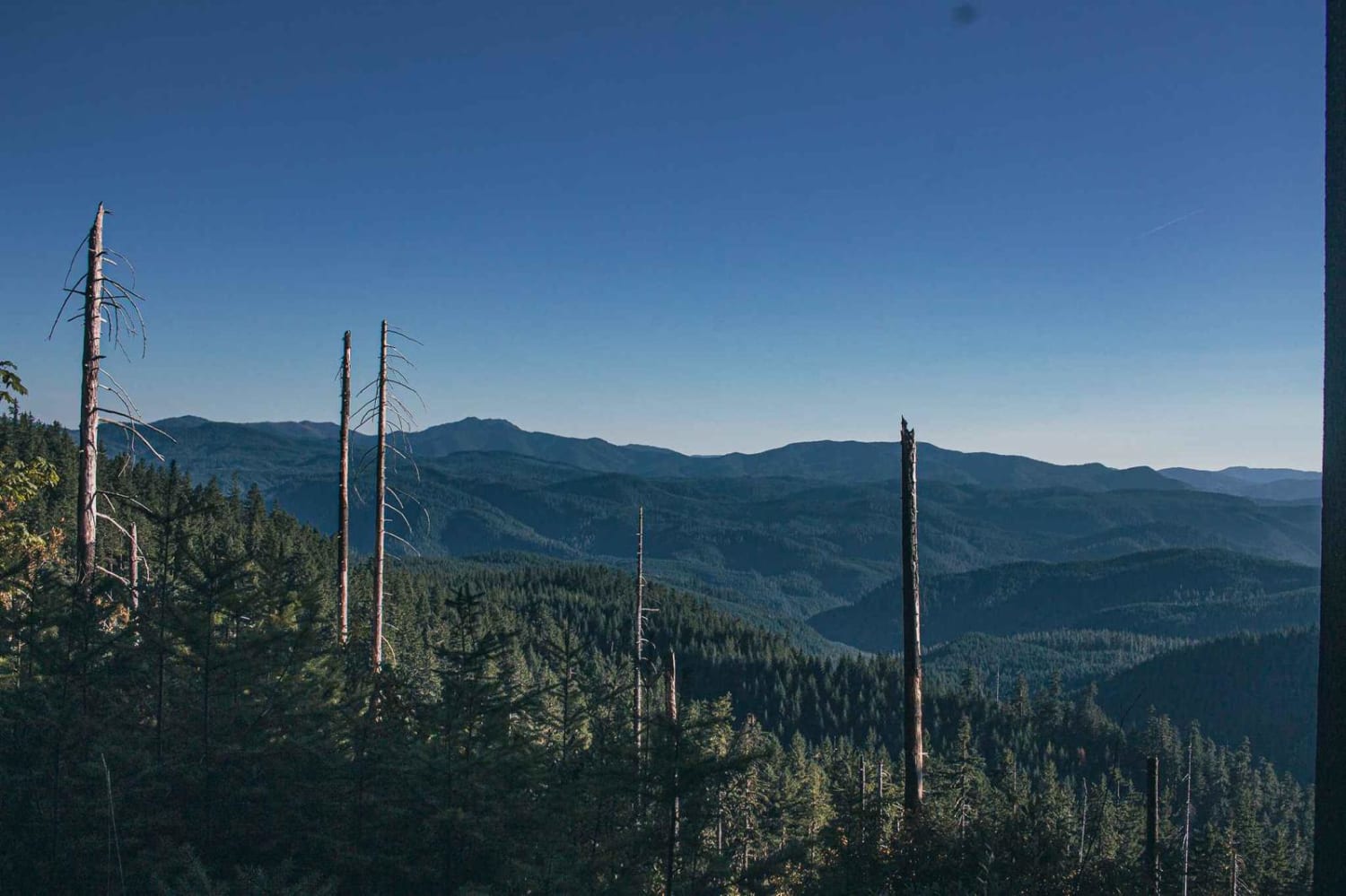
Stonehouse Road
Total Miles
2.8
Tech Rating
Moderate
Best Time
Spring, Summer, Fall
Learn more about StoreyBurn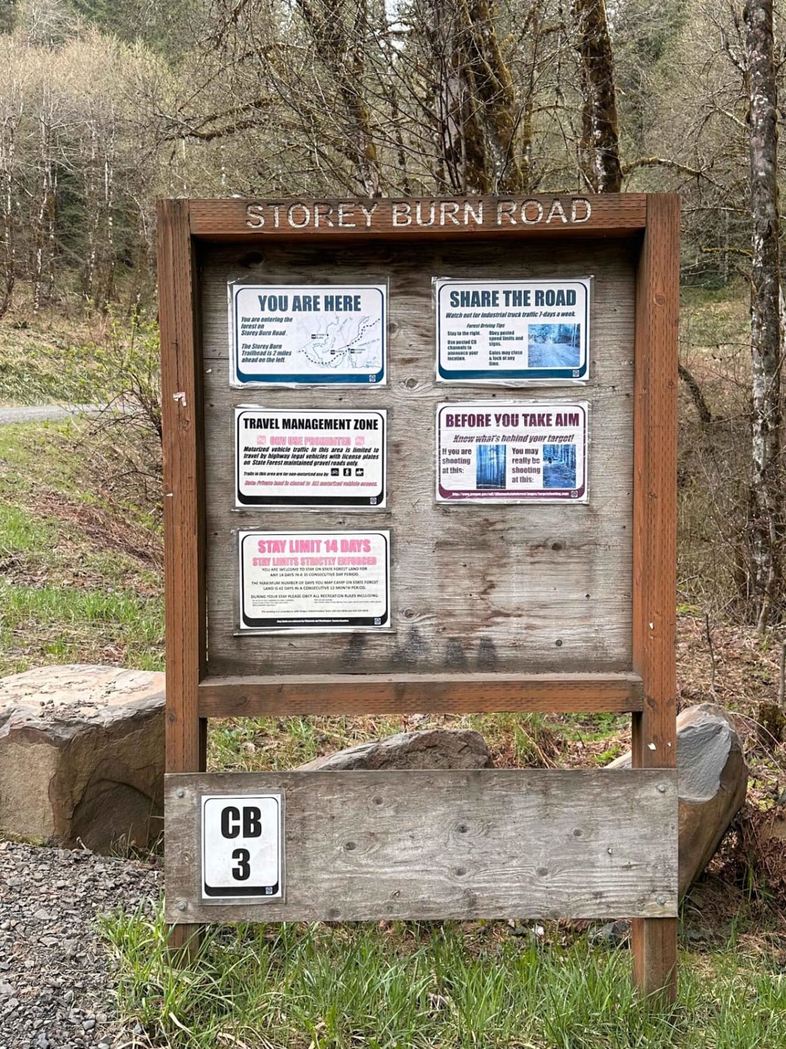
StoreyBurn
Total Miles
5.3
Tech Rating
Easy
Best Time
Spring, Summer, Fall, Winter

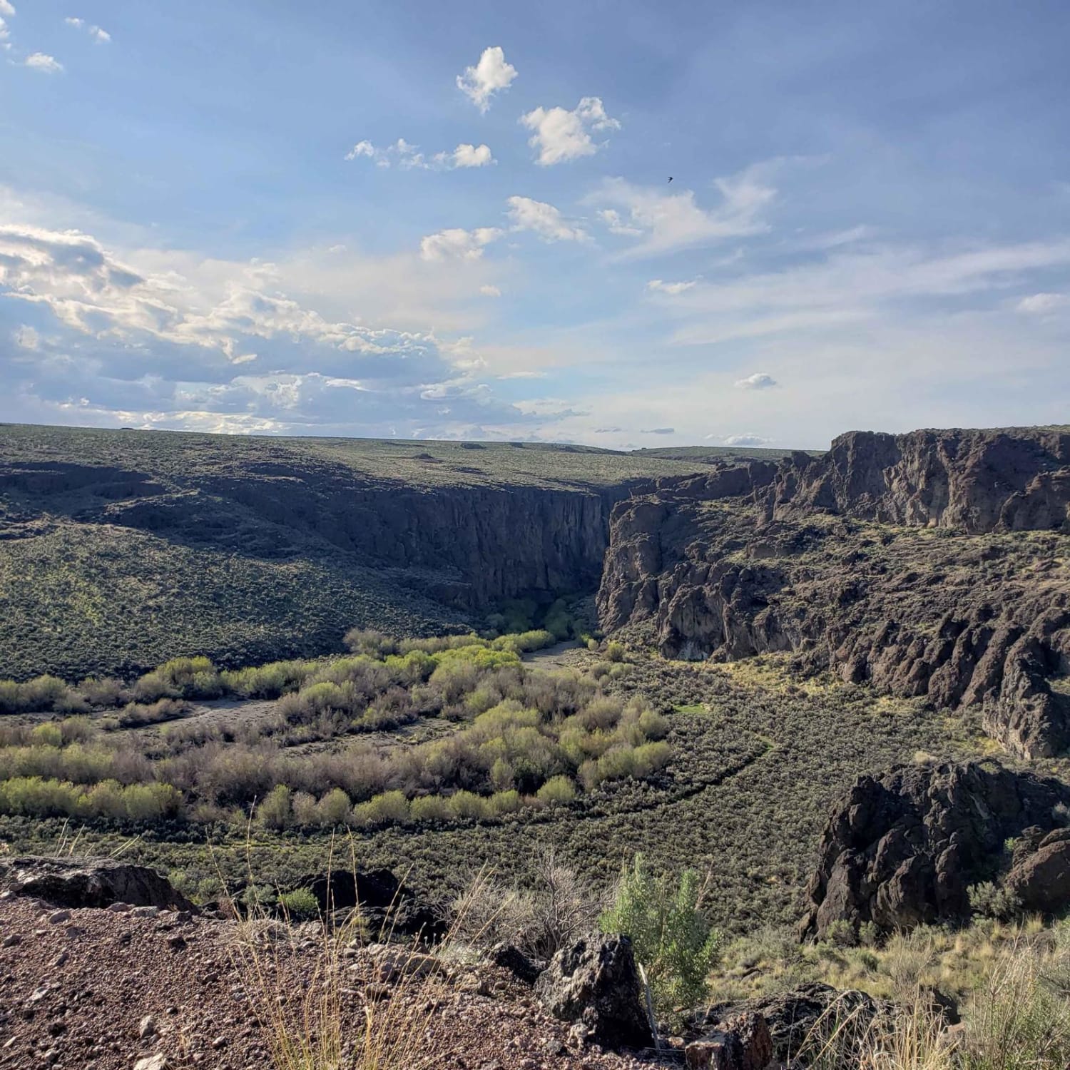
Learn more about Succor Creek Road
Succor Creek Road
Total Miles
33.4
Tech Rating
Easy
Best Time
Spring, Summer, Fall
Learn more about Summit Road NF2630
Summit Road NF2630
Total Miles
47.5
Tech Rating
Easy
Best Time
Spring, Summer, Fall
Learn more about Sunstone Collection Area
Sunstone Collection Area
Total Miles
34.4
Tech Rating
Easy
Best Time
Spring, Summer, Fall
Learn more about Swale Trail - FS 2107
Swale Trail - FS 2107
Total Miles
7.8
Tech Rating
Easy
Best Time
Spring, Summer, Fall, Winter
Learn more about Tamarack Quarry 2656955
Tamarack Quarry 2656955
Total Miles
0.8
Tech Rating
Easy
Best Time
Spring, Summer, Fall
Learn more about Taylor and Irish Lakes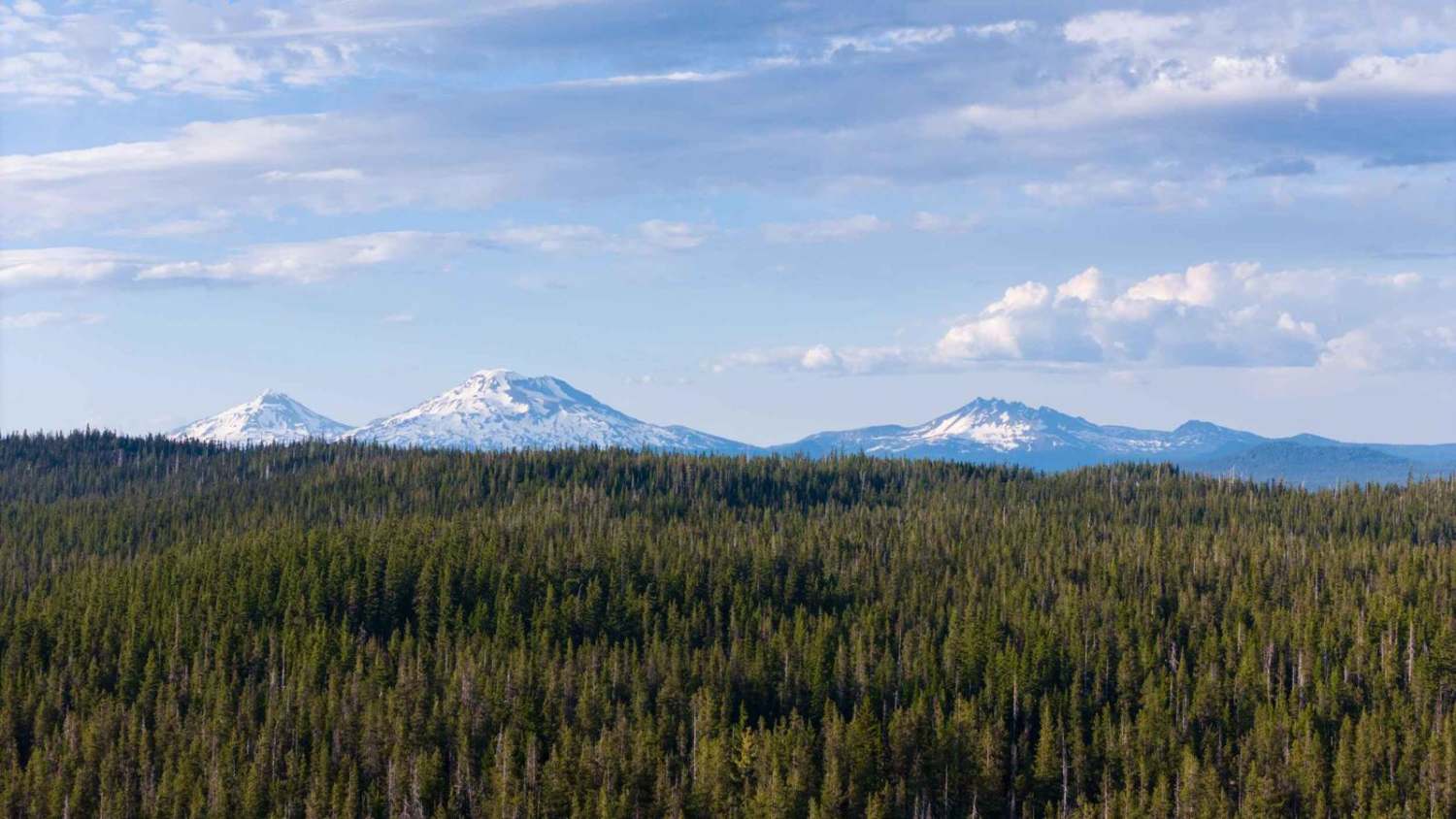
Taylor and Irish Lakes
Total Miles
9.1
Tech Rating
Easy
Best Time
Summer, Fall
Learn more about Tenmile Butte Road - 3500
Tenmile Butte Road - 3500
Total Miles
6.3
Tech Rating
Easy
Best Time
Spring, Summer, Fall
Learn more about The Back Way to Mann Lake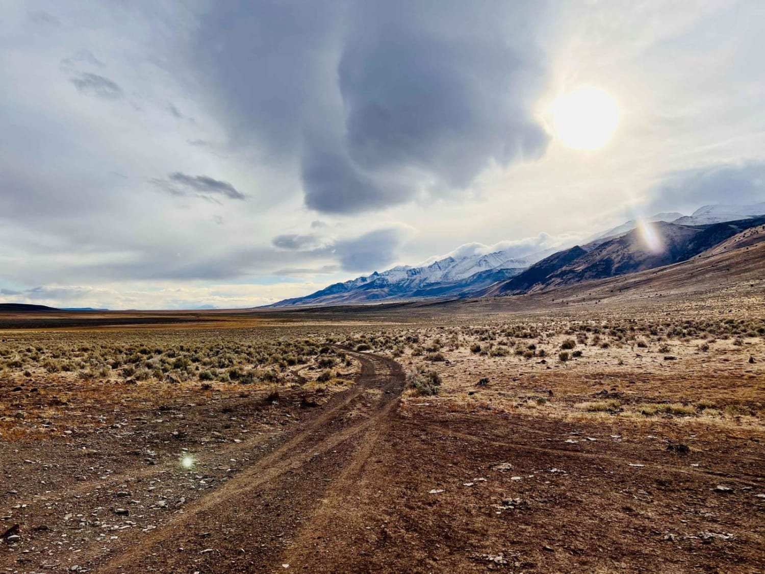
The Back Way to Mann Lake
Total Miles
1.9
Tech Rating
Easy
Best Time
Spring, Fall
Learn more about The Bohemian Champion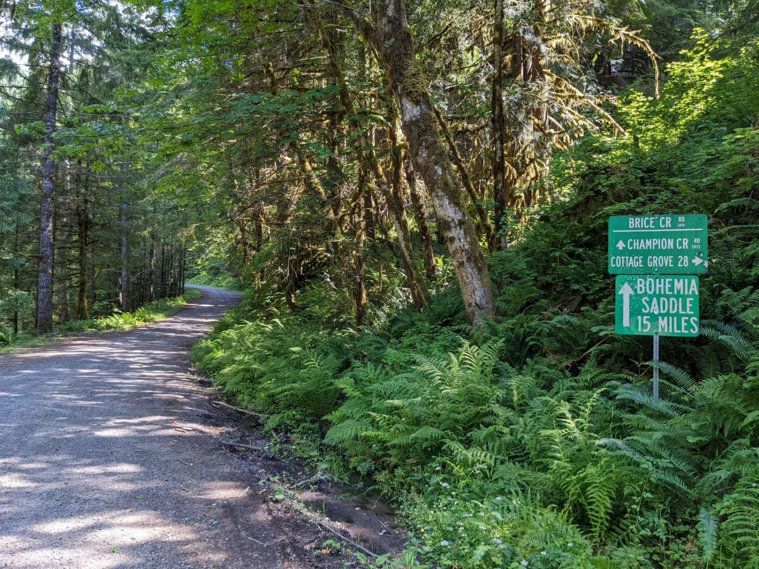
The Bohemian Champion
Total Miles
7.1
Tech Rating
Easy
Best Time
Spring, Summer
Learn more about The Old Western Route - FS 21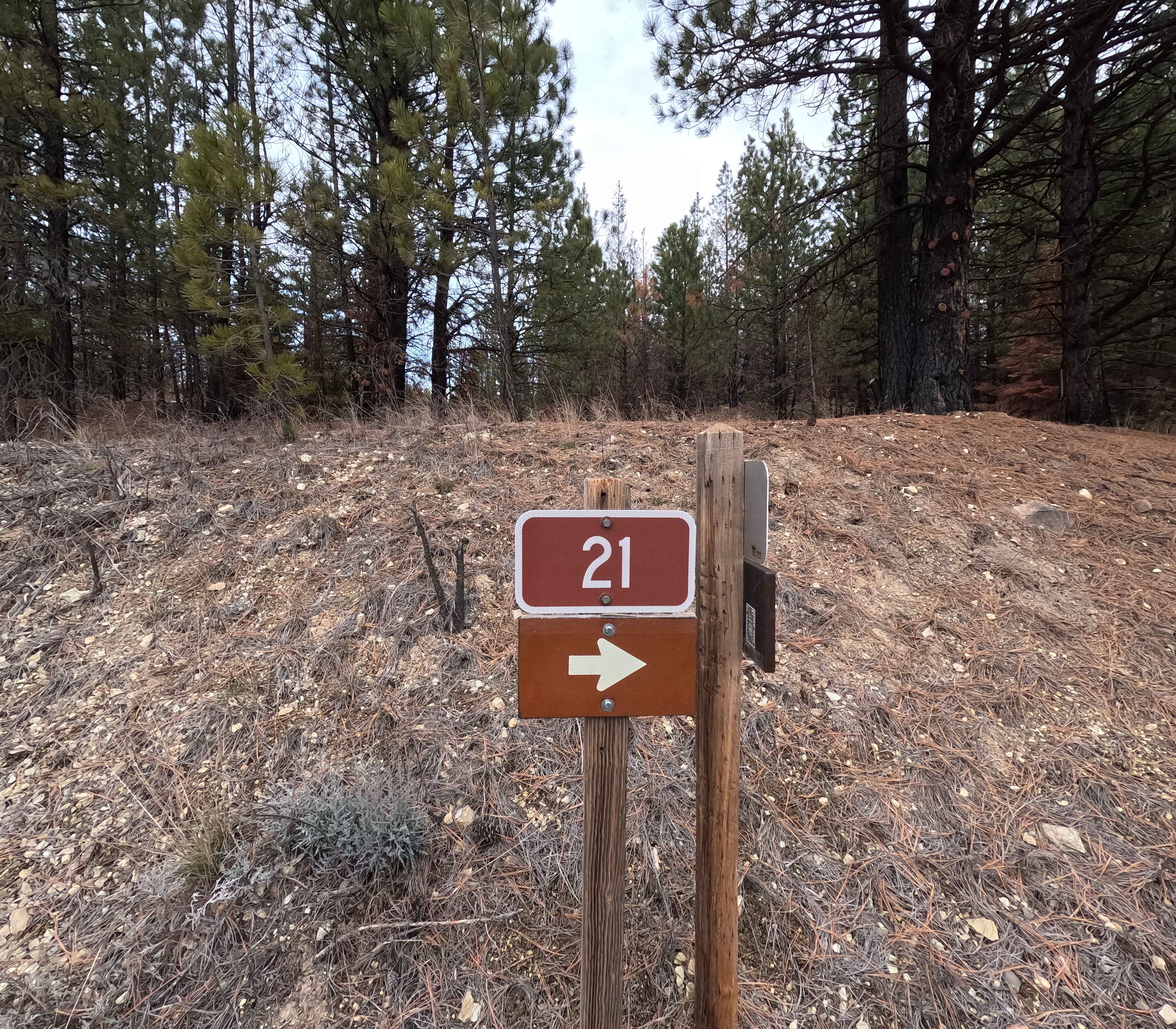
The Old Western Route - FS 21
Total Miles
13.9
Tech Rating
Easy
Best Time
Spring, Fall, Summer, Winter
ATV trails in Oregon


UTV/side-by-side trails in Oregon
Learn more about 10 Mile OHV Trail
10 Mile OHV Trail
Total Miles
1.6
Tech Rating
Easy
Best Time
Spring, Summer, Fall


The onX Offroad Difference
onX Offroad combines trail photos, descriptions, difficulty ratings, width restrictions, seasonality, and more in a user-friendly interface. Available on all devices, with offline access and full compatibility with CarPlay and Android Auto. Discover what you’re missing today!