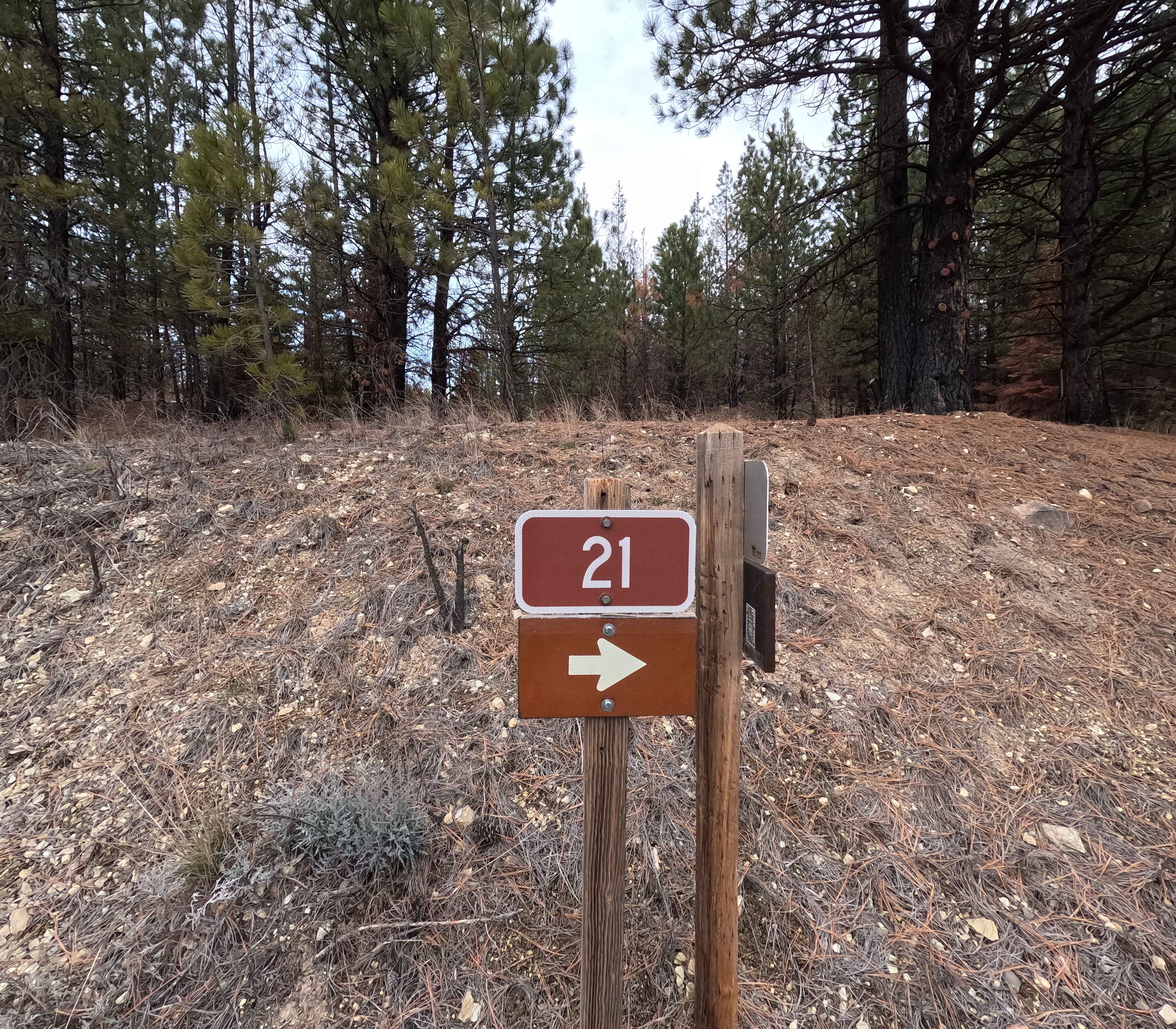
The Old Western Route - FS 21
Total Miles
13.9
Technical Rating
Best Time
Spring, Fall, Summer, Winter
Trail Type
Full-Width Road
Accessible By
Trail Overview
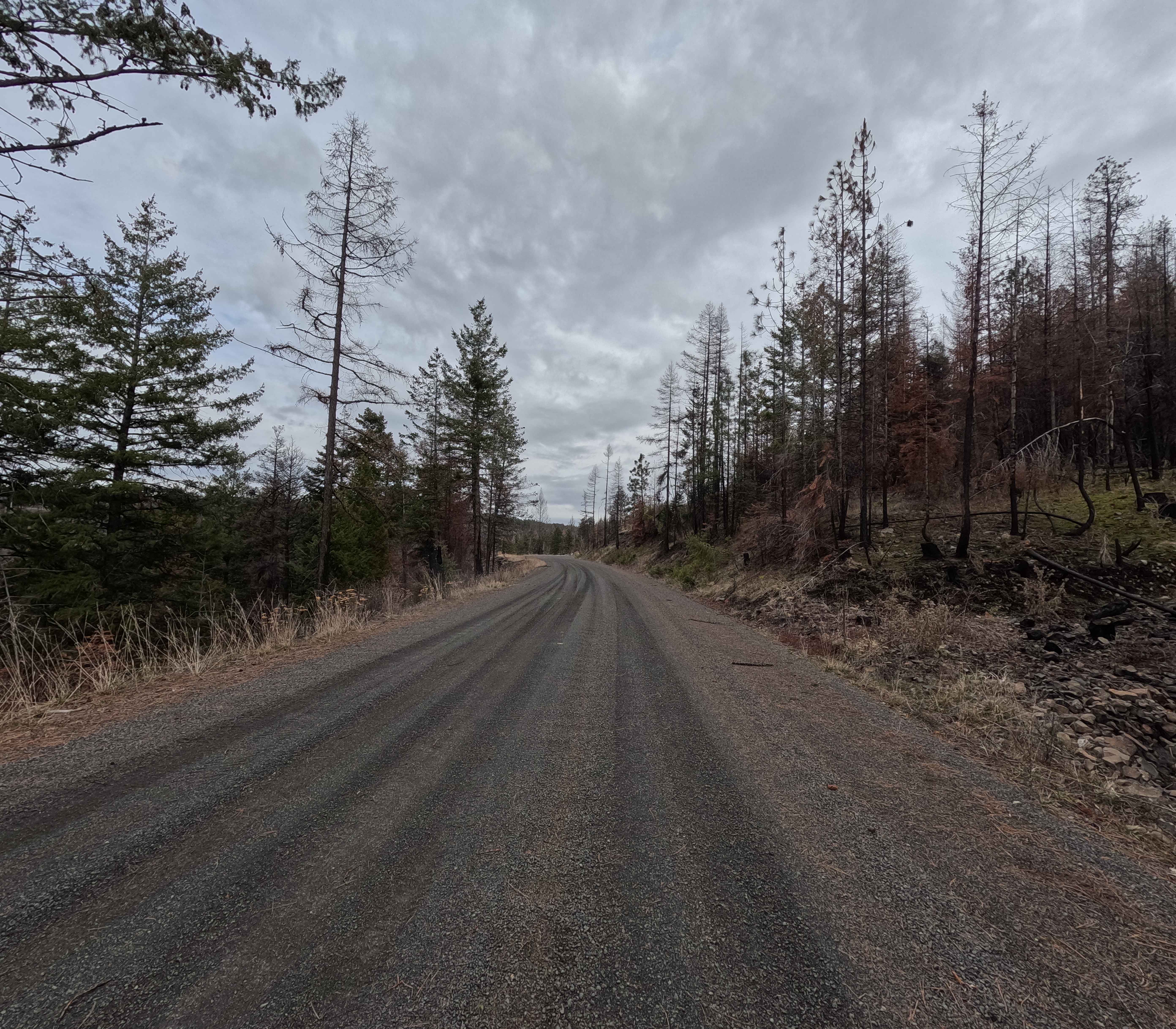
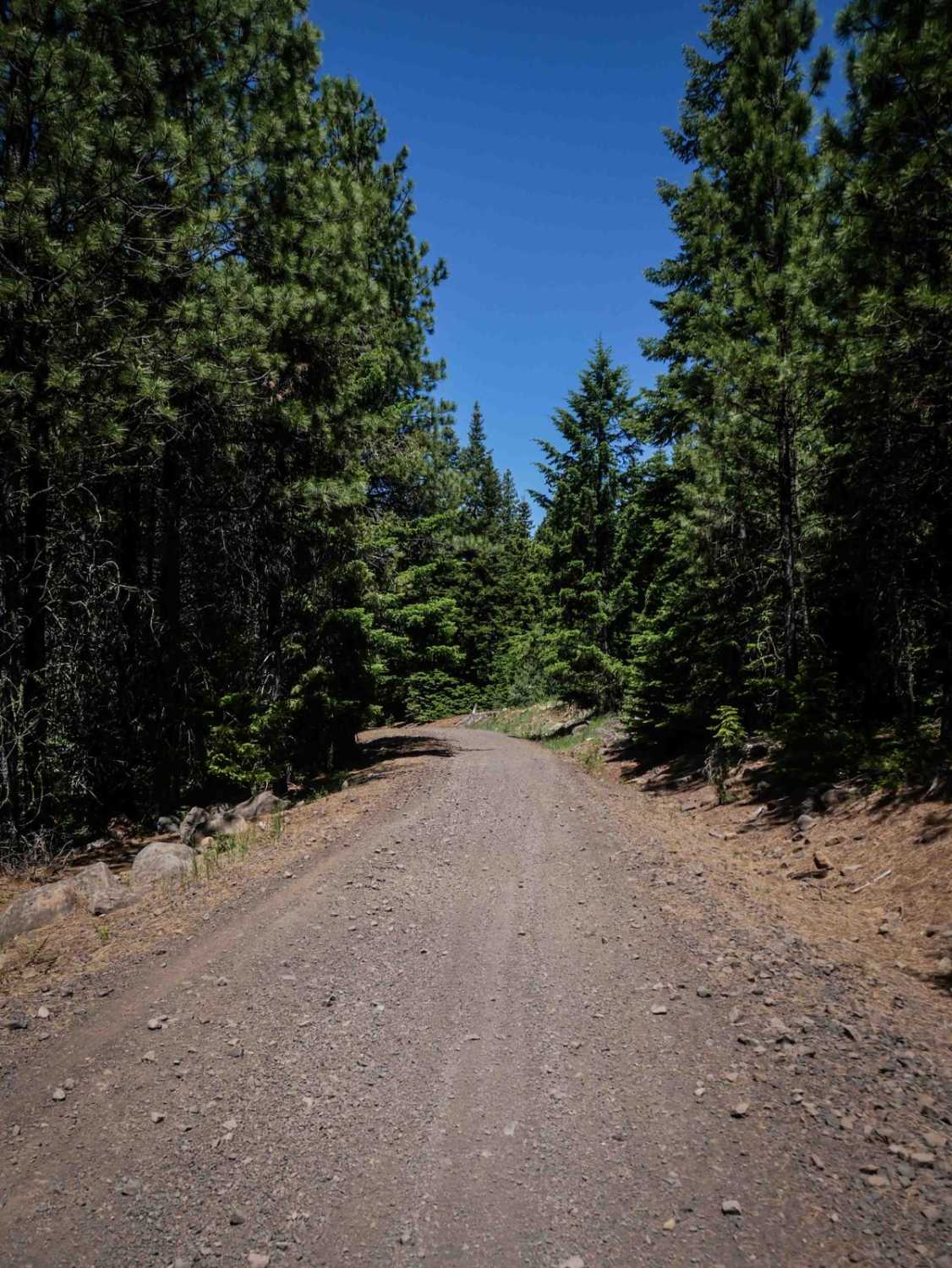
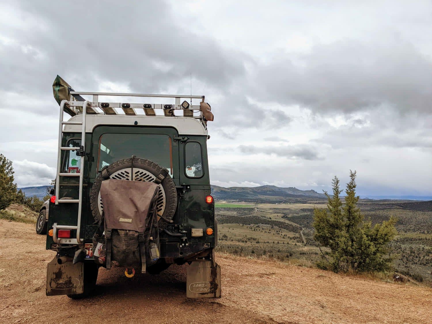
The Old Western Route is a 13.9-mile point-to-point gravel road connecting the west end of Wheeler Point with the Heppner-Spray Highway. Although the road appears to continue west to the town of Fossil, a private gate is located several hundred yards west of this route's western end. The road surface is wide, smooth, and well-maintained, offering a quick route from the highway into the Umatilla National Forest. Starting from the west end, the road climbs to a high ridgeline and follows that ridgeline to the intersection with the Heppner-Spray Highway. The Old Western Route is accessible year-round, and all OHVs (non-street legal) require an Oregon Parks ATV permit.
Photos of The Old Western Route - FS 21
Difficulty
A wide, well-maintained gravel route, The Old Western Route is safe for most trailers, 2WD, and low clearance vehicles. Weather conditions such as rain and snow can increase difficulty. A chainsaw or other equipment for moving fallen trees is highly recommended.
History
Despite the intriguing name, the route does not appear to have any significant historical context and no known relation to the Oregon Trail.
Status Reports
The Old Western Route - FS 21 can be accessed by the following ride types:
- High-Clearance 4x4
- SUV
- SxS (60")
- ATV (50")
- Dirt Bike
The Old Western Route - FS 21 Map
Popular Trails
Rogers Camp Road #1
Haystack Overlook

The onX Offroad Difference
onX Offroad combines trail photos, descriptions, difficulty ratings, width restrictions, seasonality, and more in a user-friendly interface. Available on all devices, with offline access and full compatibility with CarPlay and Android Auto. Discover what you’re missing today!