Off-Road Trails in Oregon
Discover off-road trails in Oregon
Learn more about Page Mountain 
Page Mountain
Total Miles
2.2
Tech Rating
Easy
Best Time
Spring, Summer, Fall
Learn more about Painted Cove Nature Trail Access
Painted Cove Nature Trail Access
Total Miles
1.1
Tech Rating
Easy
Best Time
Spring, Summer, Fall
Learn more about Palmer Junction - FS 6231
Palmer Junction - FS 6231
Total Miles
4.7
Tech Rating
Easy
Best Time
Spring, Summer, Fall
Learn more about Panther Creek
Panther Creek
Total Miles
8.5
Tech Rating
Easy
Best Time
Spring, Summer, Fall
Learn more about Panther Ridge
Panther Ridge
Total Miles
4.1
Tech Rating
Easy
Best Time
Spring, Summer, Fall
Learn more about Patterson Mountain
Patterson Mountain
Total Miles
5.0
Tech Rating
Easy
Best Time
Spring, Summer, Fall
Learn more about Paulina Valley Rd / 4200 / 4250 / 1200
Paulina Valley Rd / 4200 / 4250 / 1200
Total Miles
57.8
Tech Rating
Easy
Best Time
Spring, Summer, Fall
Learn more about Payette Trail - FS 970
Payette Trail - FS 970
Total Miles
1.7
Tech Rating
Easy
Best Time
Summer


Learn more about Peel to Wolf Creek Job Corps Bypass Route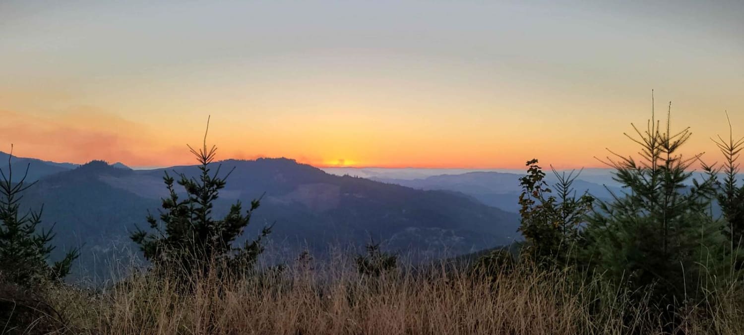
Peel to Wolf Creek Job Corps Bypass Route
Total Miles
10.5
Tech Rating
Easy
Best Time
Spring, Summer, Fall
Learn more about Phillips Creek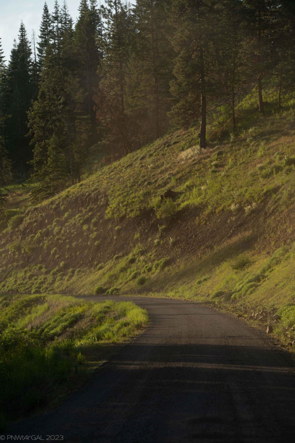
Phillips Creek
Total Miles
10.6
Tech Rating
Easy
Best Time
Spring, Summer, Fall
Learn more about Pickers to Triangle Hill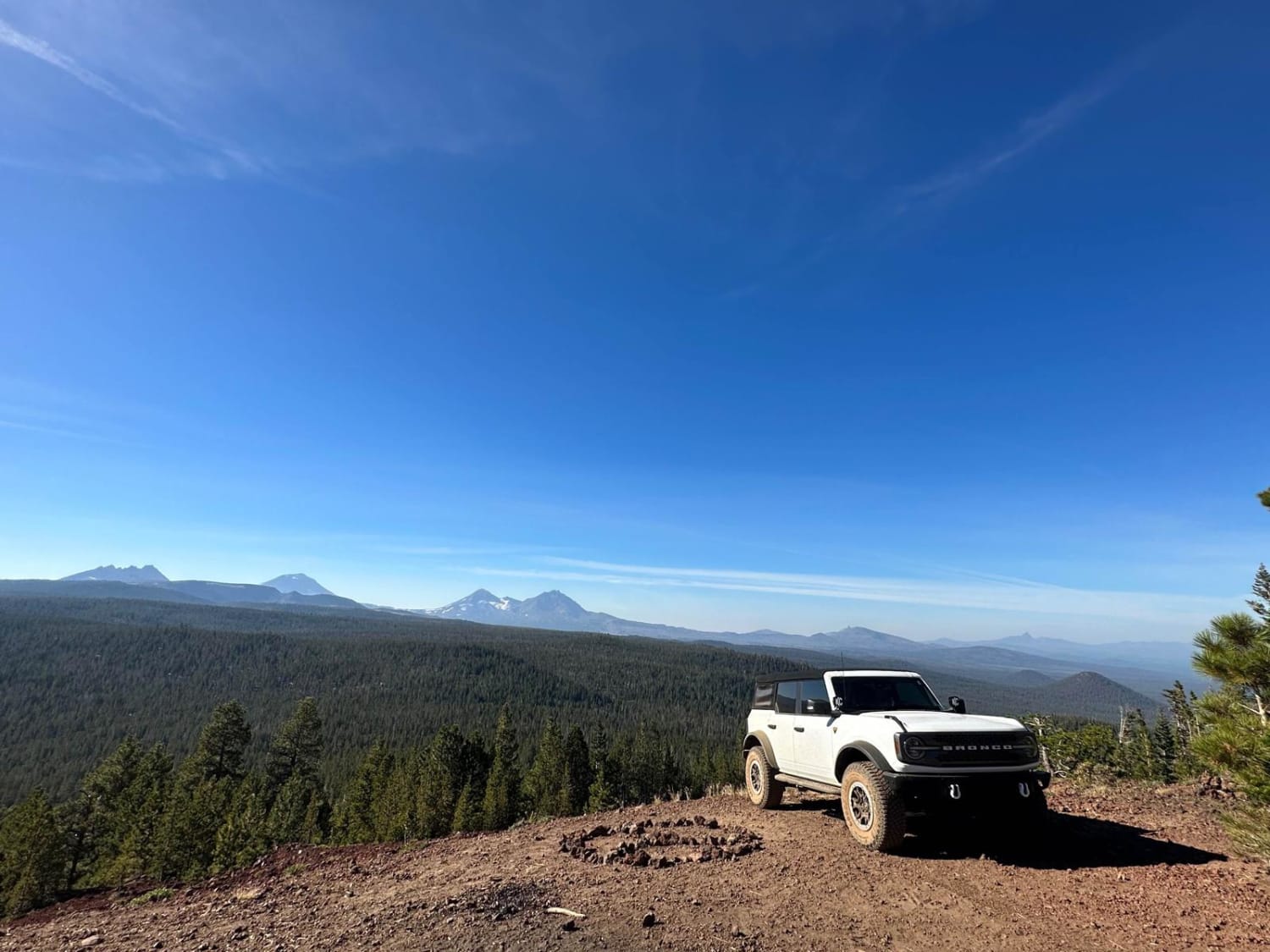
Pickers to Triangle Hill
Total Miles
4.4
Tech Rating
Moderate
Best Time
Spring, Summer, Fall
Learn more about Pillars of Rome
Pillars of Rome
Total Miles
17.4
Tech Rating
Easy
Best Time
Spring, Summer, Fall, Winter
Learn more about Pine Mountain Observatory Back Road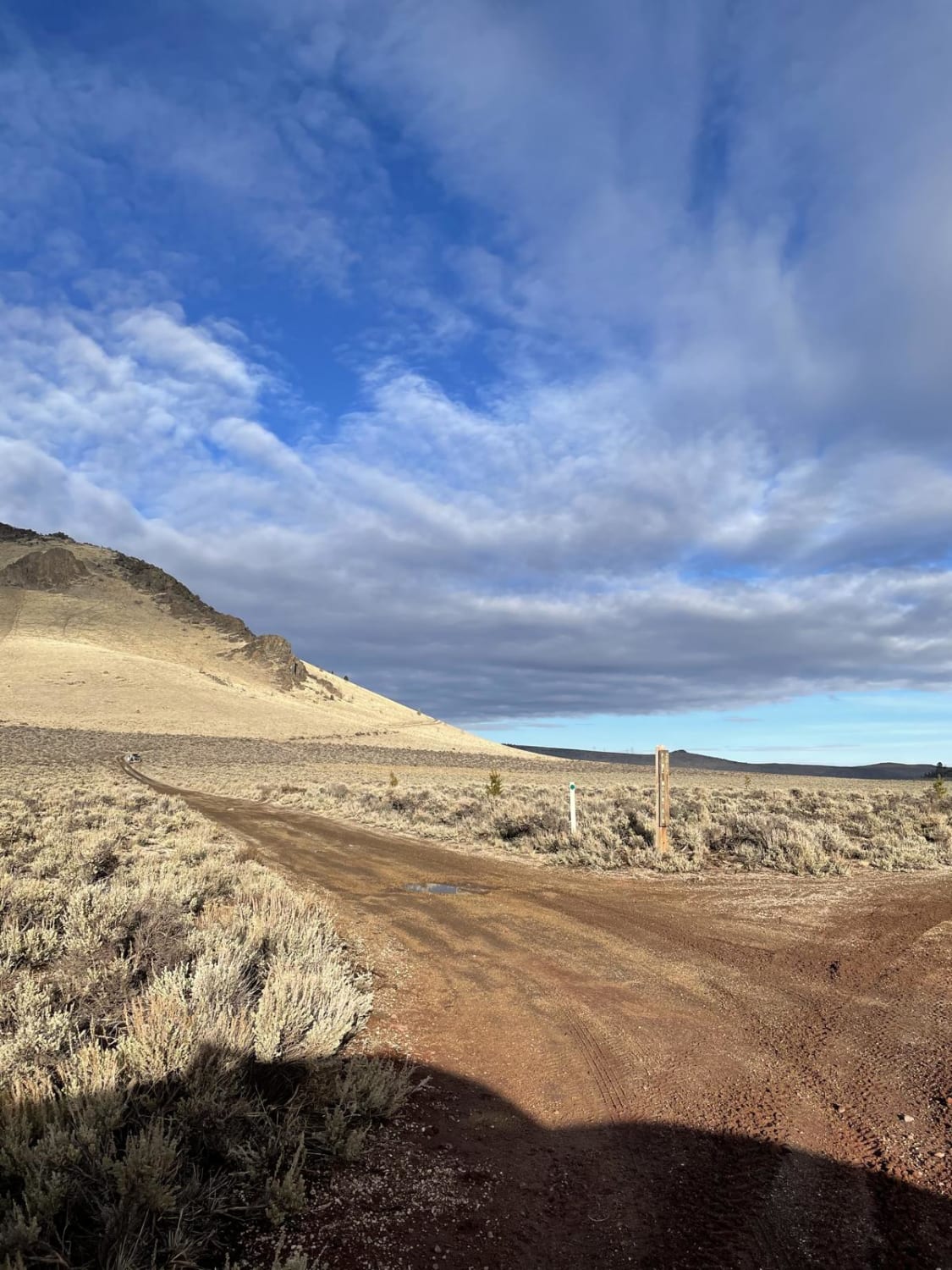
Pine Mountain Observatory Back Road
Total Miles
4.4
Tech Rating
Easy
Best Time
Spring, Summer, Fall
Learn more about Pioneer Gulch #2149
Pioneer Gulch #2149
Total Miles
12.4
Tech Rating
Easy
Best Time
Spring, Fall, Summer
ATV trails in Oregon


UTV/side-by-side trails in Oregon
Learn more about 10 Mile OHV Trail
10 Mile OHV Trail
Total Miles
1.6
Tech Rating
Easy
Best Time
Spring, Summer, Fall


The onX Offroad Difference
onX Offroad combines trail photos, descriptions, difficulty ratings, width restrictions, seasonality, and more in a user-friendly interface. Available on all devices, with offline access and full compatibility with CarPlay and Android Auto. Discover what you’re missing today!