Off-Road Trails in Oregon
Discover off-road trails in Oregon
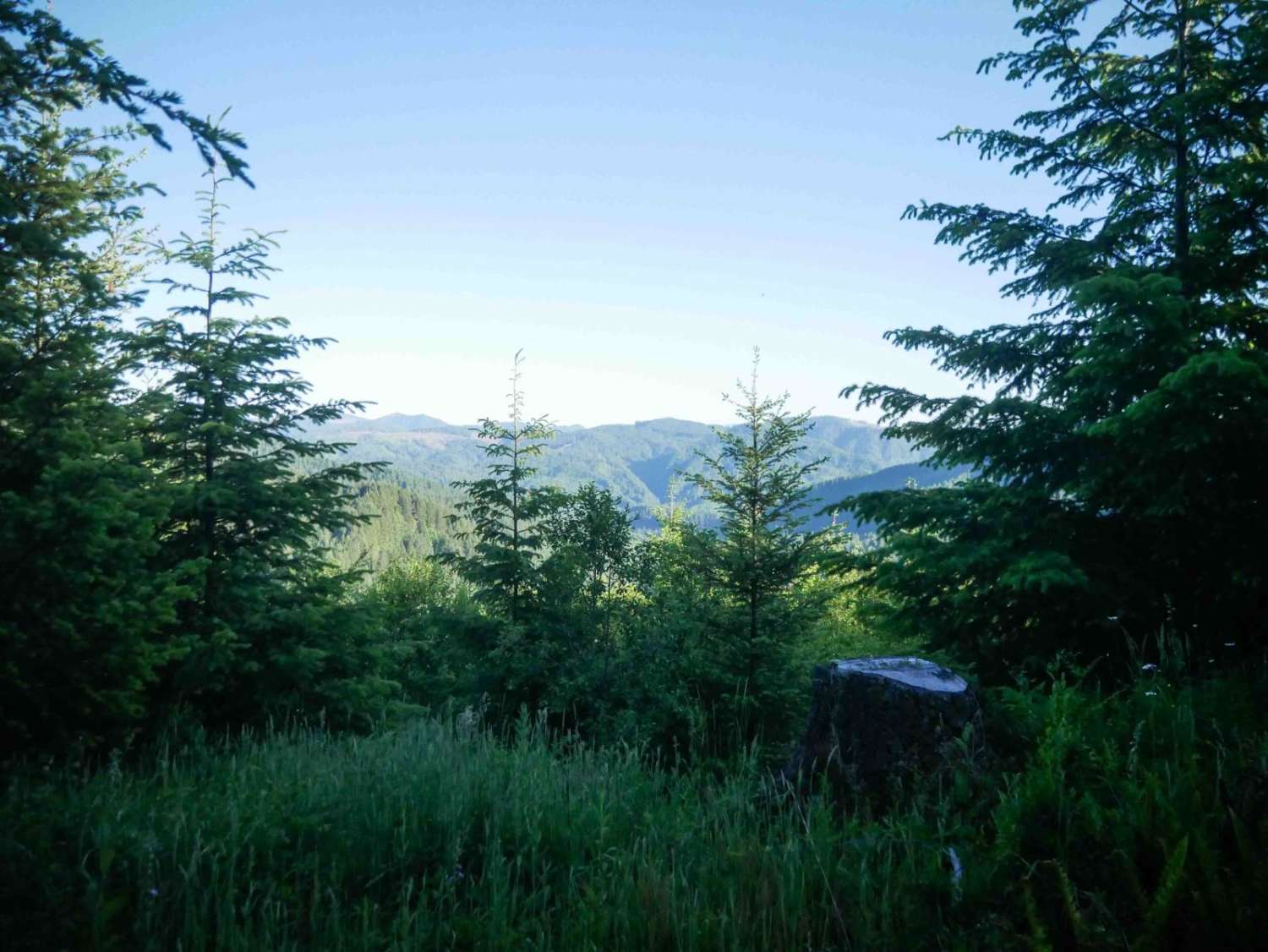
Learn more about Cinder Butte Viewpoint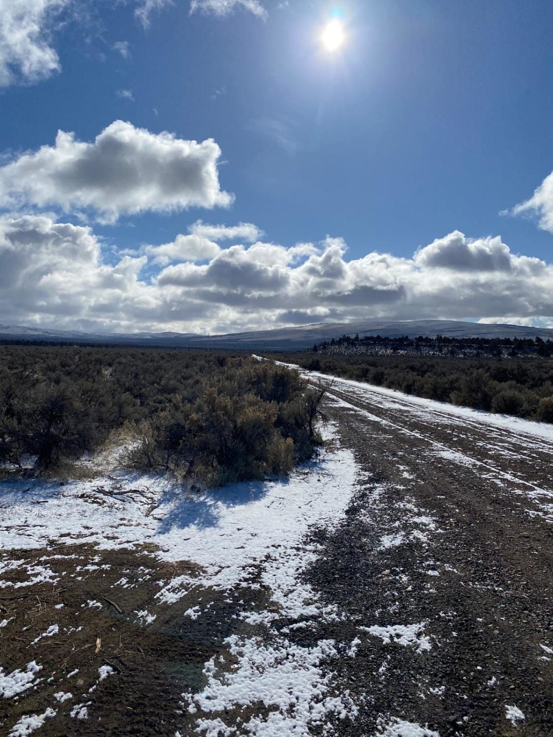
Cinder Butte Viewpoint
Total Miles
13.9
Tech Rating
Moderate
Best Time
Spring, Fall, Winter

Learn more about Clear Lake 2660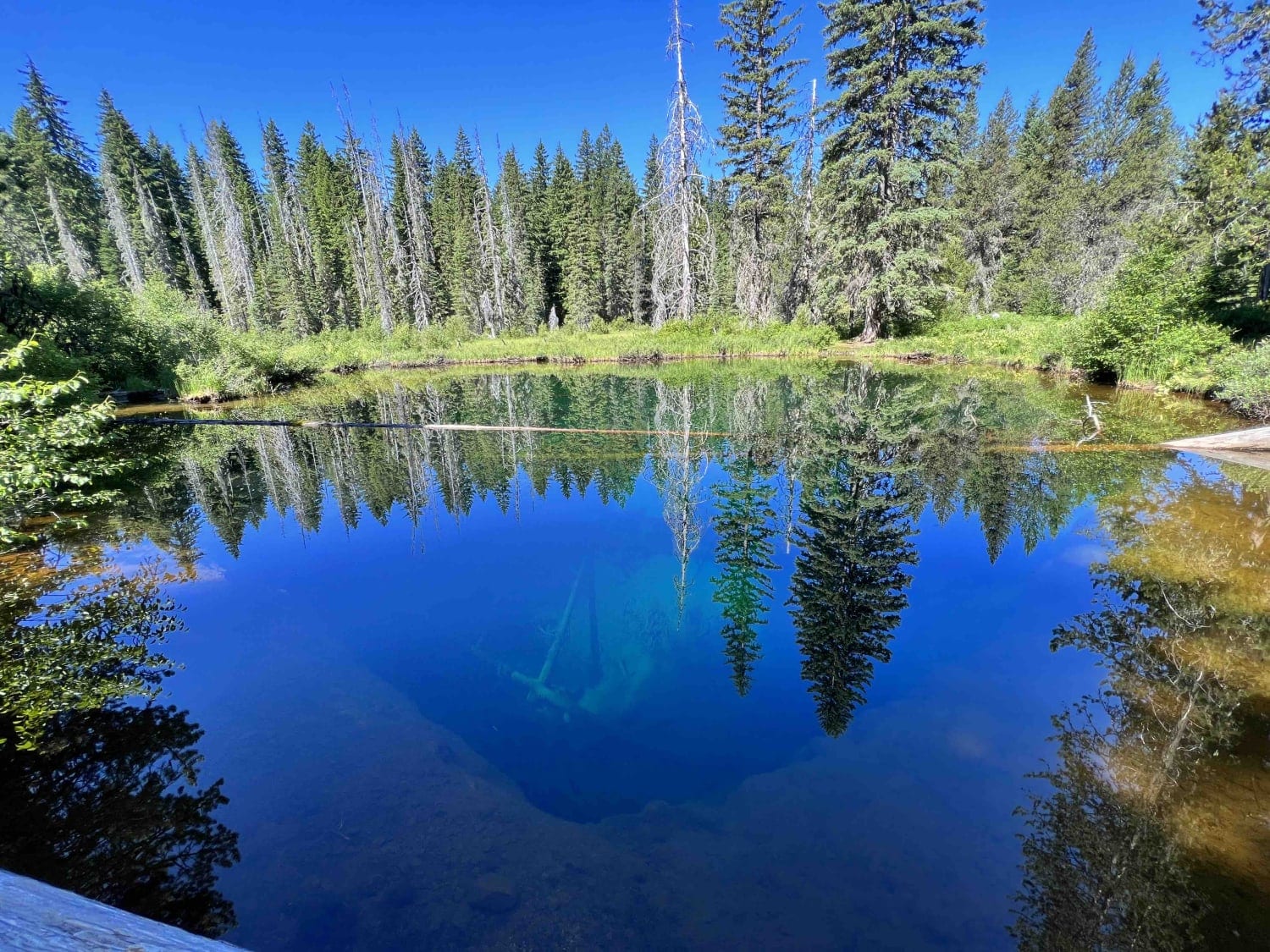
Clear Lake 2660
Total Miles
7.9
Tech Rating
Easy
Best Time
Fall, Summer, Spring
Learn more about Cline Butes Flow Trail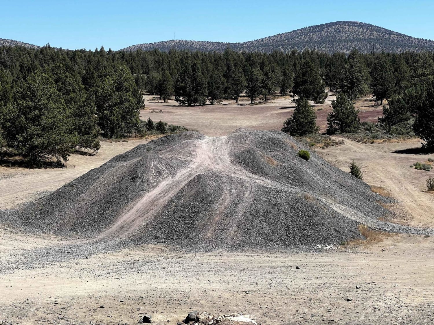
Cline Butes Flow Trail
Total Miles
1.6
Tech Rating
Easy
Best Time
Summer, Spring, Fall
Learn more about Cline Butte Meadow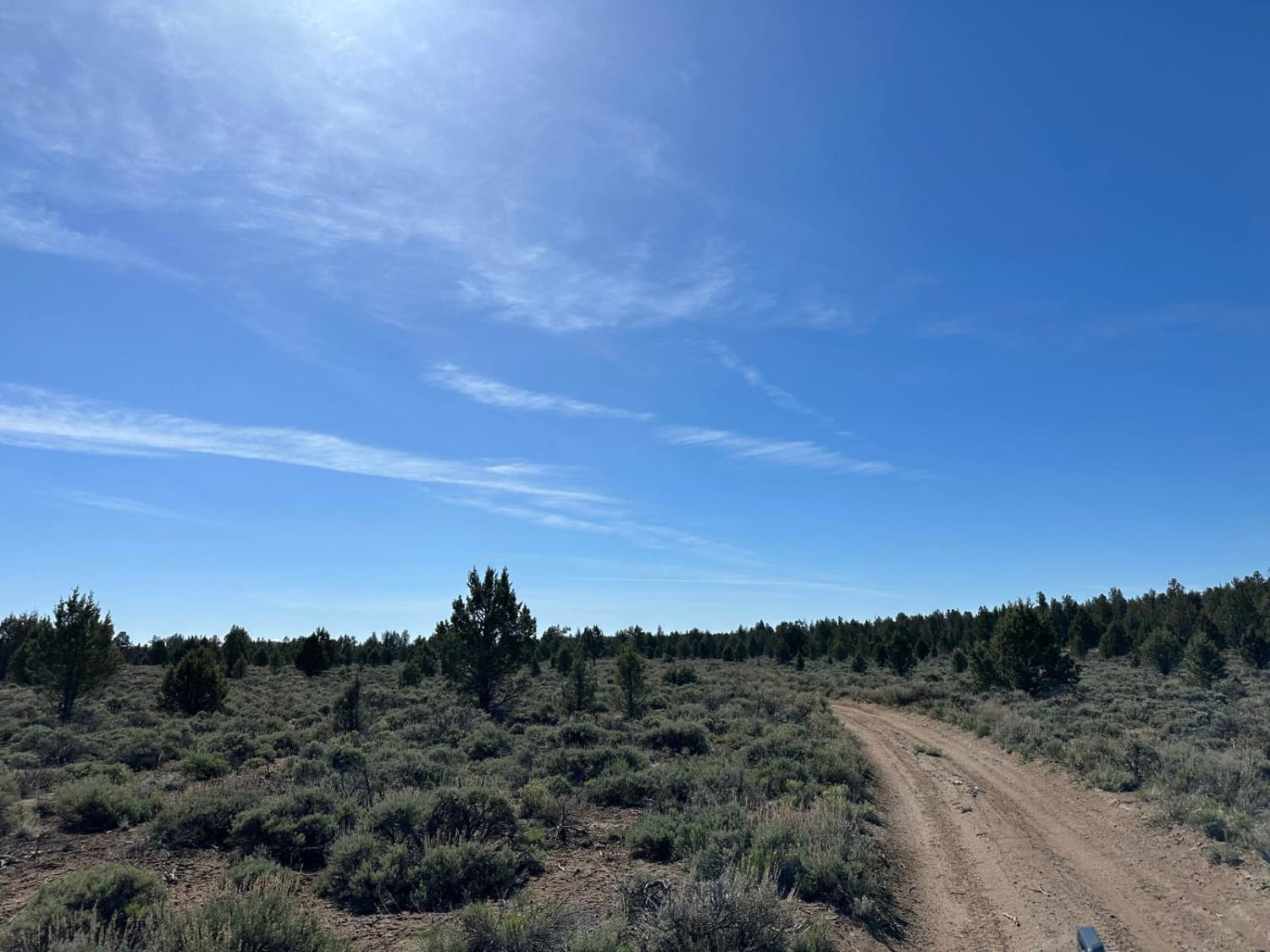
Cline Butte Meadow
Total Miles
2.0
Tech Rating
Easy
Best Time
Spring, Summer, Fall, Winter
Learn more about Cline Butte Trail 31
Cline Butte Trail 31
Total Miles
4.1
Tech Rating
Easy
Best Time
Spring, Summer, Fall, Winter
Learn more about Clinger Trail Hood NF
Clinger Trail Hood NF
Total Miles
6.2
Tech Rating
Easy
Best Time
Summer, Fall
Learn more about Cloverdale FD to 3 Creeks Butte
Cloverdale FD to 3 Creeks Butte
Total Miles
16.8
Tech Rating
Easy
Best Time
Spring, Summer, Fall
Learn more about Coal Creek
Coal Creek
Total Miles
5.0
Tech Rating
Easy
Best Time
Spring, Summer, Fall, Winter
Learn more about Coal Creek 2133
Coal Creek 2133
Total Miles
17.0
Tech Rating
Easy
Best Time
Spring, Summer, Fall
Learn more about Coast Guard OHV South Trail - 1343
Coast Guard OHV South Trail - 1343
Total Miles
8.4
Tech Rating
Easy
Best Time
Spring, Summer, Fall, Winter
Learn more about Cochran Train Trestle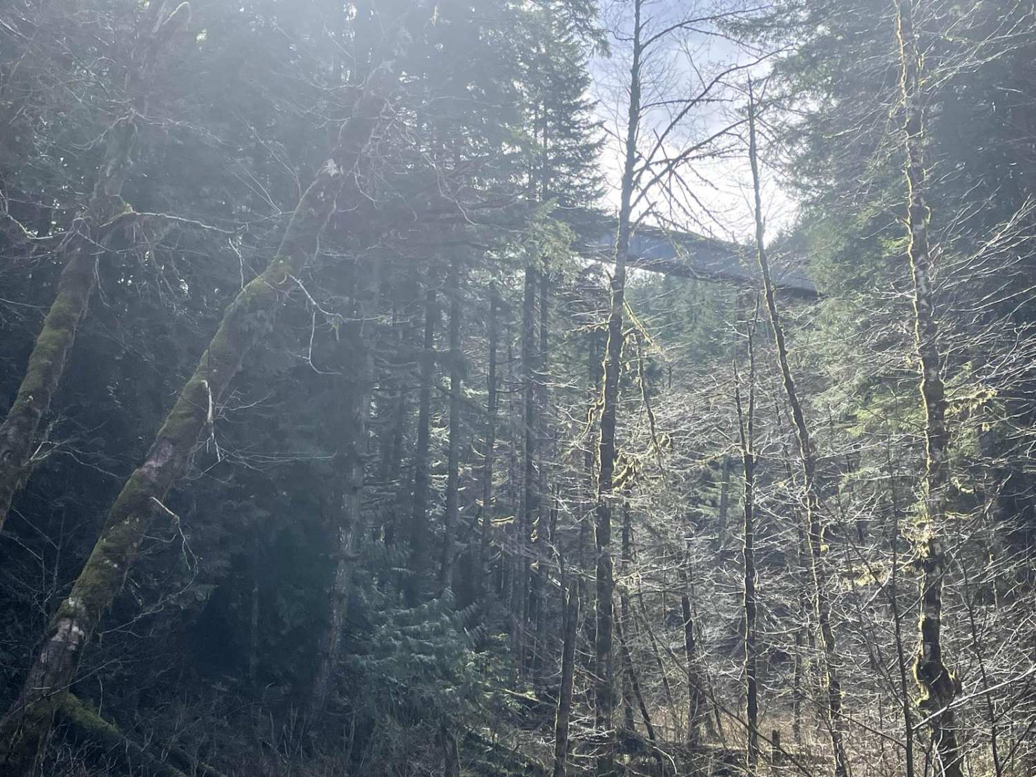
Cochran Train Trestle
Total Miles
4.9
Tech Rating
Easy
Best Time
Spring, Summer, Fall, Winter
Learn more about Coffeepot Crater Road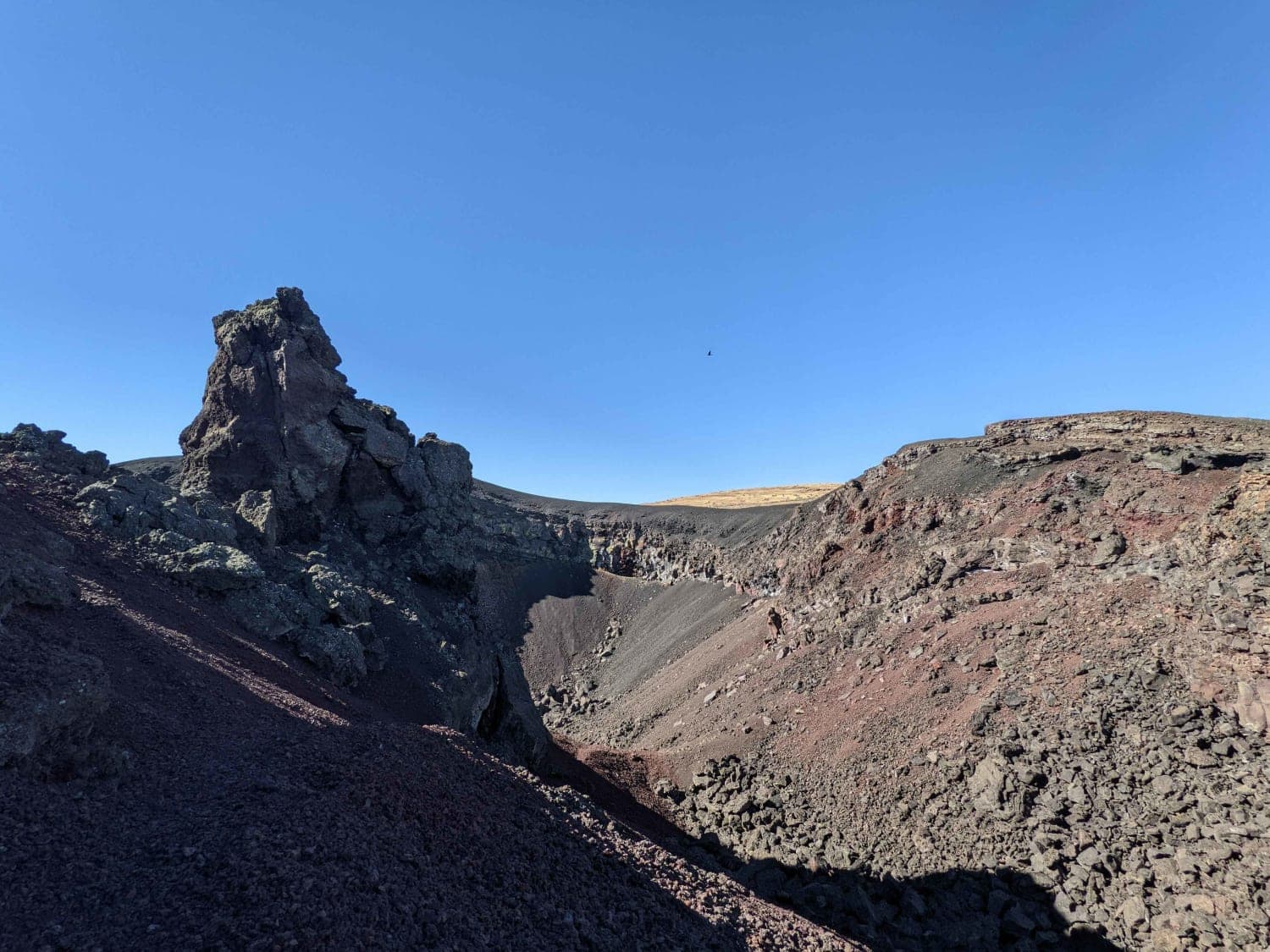
Coffeepot Crater Road
Total Miles
1.3
Tech Rating
Easy
Best Time
Fall
Learn more about Cole Mtn Ridge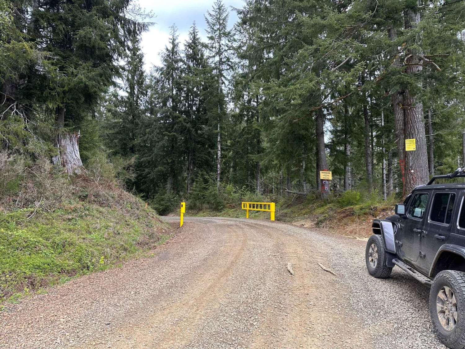
Cole Mtn Ridge
Total Miles
2.9
Tech Rating
Easy
Best Time
Spring, Summer, Fall
Learn more about Cook creek Road
Cook creek Road
Total Miles
11.3
Tech Rating
Easy
Best Time
Spring, Summer, Fall
Learn more about Copeland Creek
Copeland Creek
Total Miles
9.1
Tech Rating
Easy
Best Time
Spring, Summer, Fall
ATV trails in Oregon


UTV/side-by-side trails in Oregon
Learn more about 10 Mile OHV Trail
10 Mile OHV Trail
Total Miles
1.6
Tech Rating
Easy
Best Time
Spring, Summer, Fall


The onX Offroad Difference
onX Offroad combines trail photos, descriptions, difficulty ratings, width restrictions, seasonality, and more in a user-friendly interface. Available on all devices, with offline access and full compatibility with CarPlay and Android Auto. Discover what you’re missing today!