Copeland Creek
Total Miles
9.1
Technical Rating
Best Time
Spring, Summer, Fall
Trail Type
Full-Width Road
Accessible By
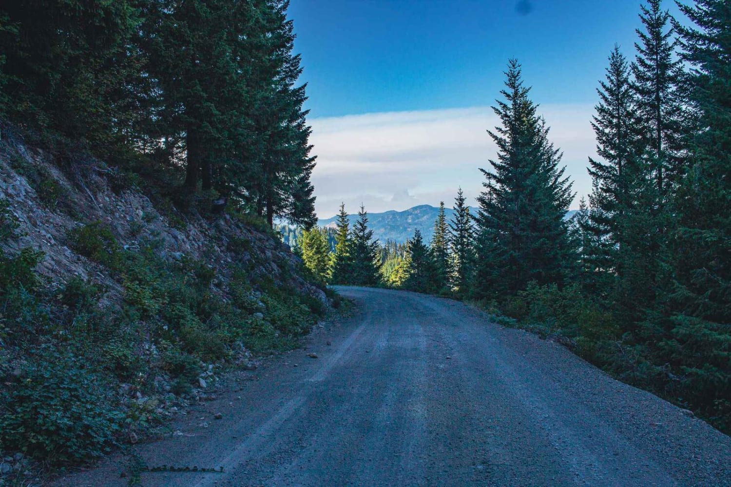
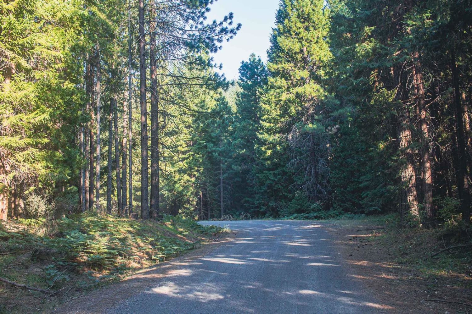
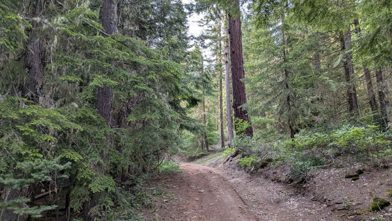
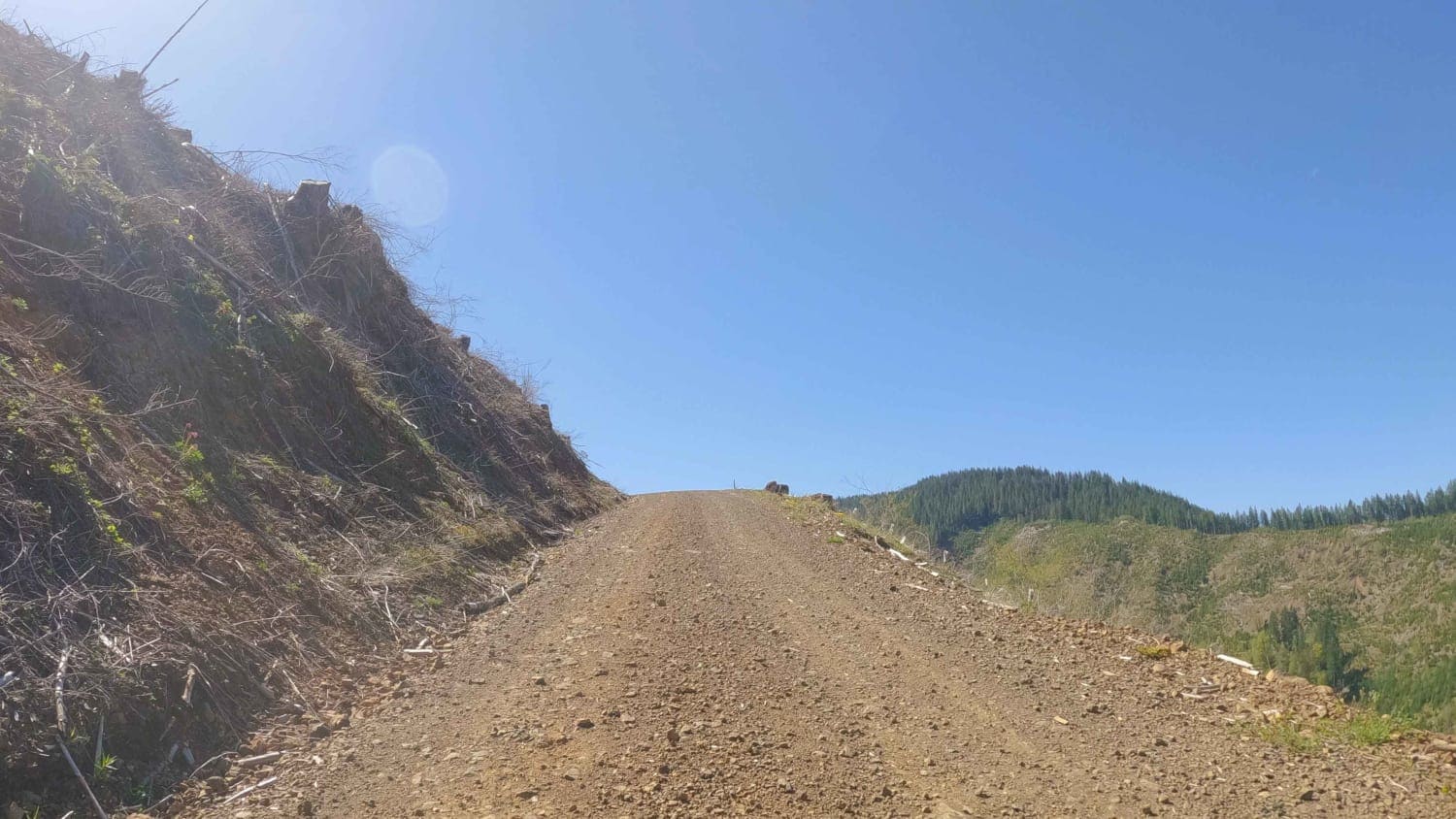
Trail Overview
Copeland Creek road runs through the Umpqua National Fores. It is an easy gravel road with some gradual inclines. You will find beautiful views ever so often when the trees open up. There are sections of the road that have been burned so be aware there is a chance of falling rocks, trees, and flash floods.
Photos of Copeland Creek
Difficulty
typically unmaintained after rain or snow
Copeland Creek can be accessed by the following ride types:
- High-Clearance 4x4
- SUV
- SxS (60")
- ATV (50")
- Dirt Bike
Copeland Creek Map
Popular Trails


Palmer Junction - FS 6231
Hembre Ridge Road
The onX Offroad Difference
onX Offroad combines trail photos, descriptions, difficulty ratings, width restrictions, seasonality, and more in a user-friendly interface. Available on all devices, with offline access and full compatibility with CarPlay and Android Auto. Discover what you’re missing today!