Off-Road Trails in Arizona
Discover off-road trails in Arizona
Learn more about Coral Canyons Rocky Revenge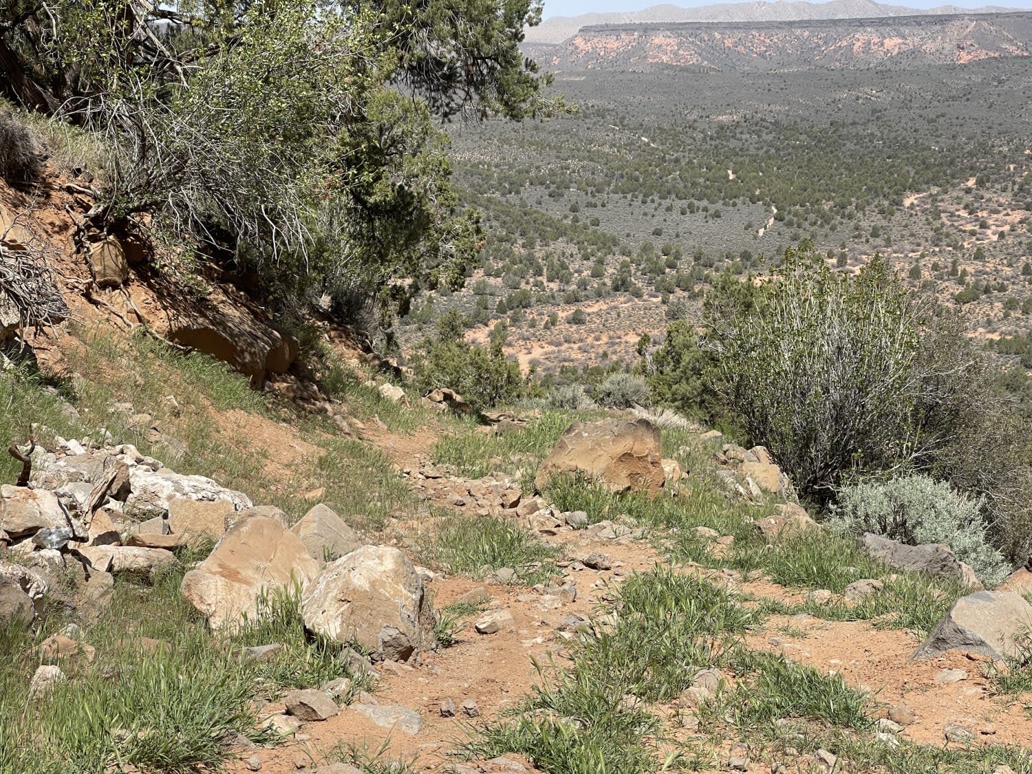
Coral Canyons Rocky Revenge
Total Miles
4.6
Tech Rating
Moderate
Best Time
Winter, Fall, Spring
Learn more about Corbitt Dam Road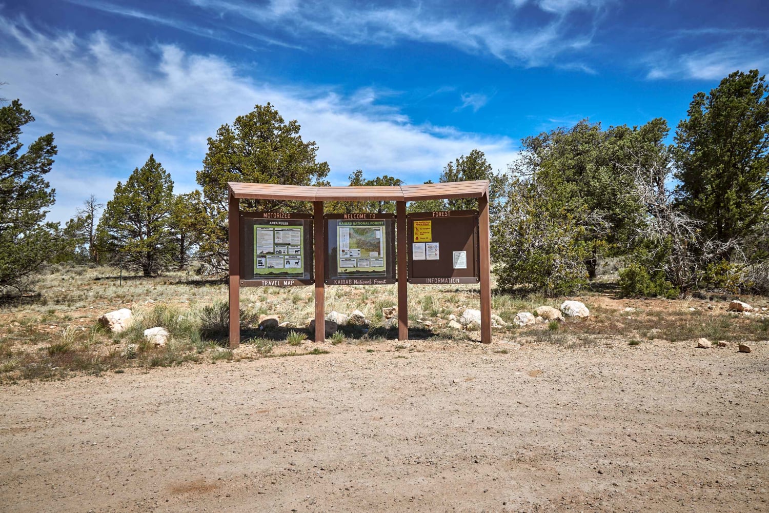
Corbitt Dam Road
Total Miles
12.2
Tech Rating
Easy
Best Time
Spring, Summer, Fall
Learn more about Corder Loop
Corder Loop
Total Miles
6.0
Tech Rating
Moderate
Best Time
Spring, Summer, Fall
Learn more about Corduroy Wash Trail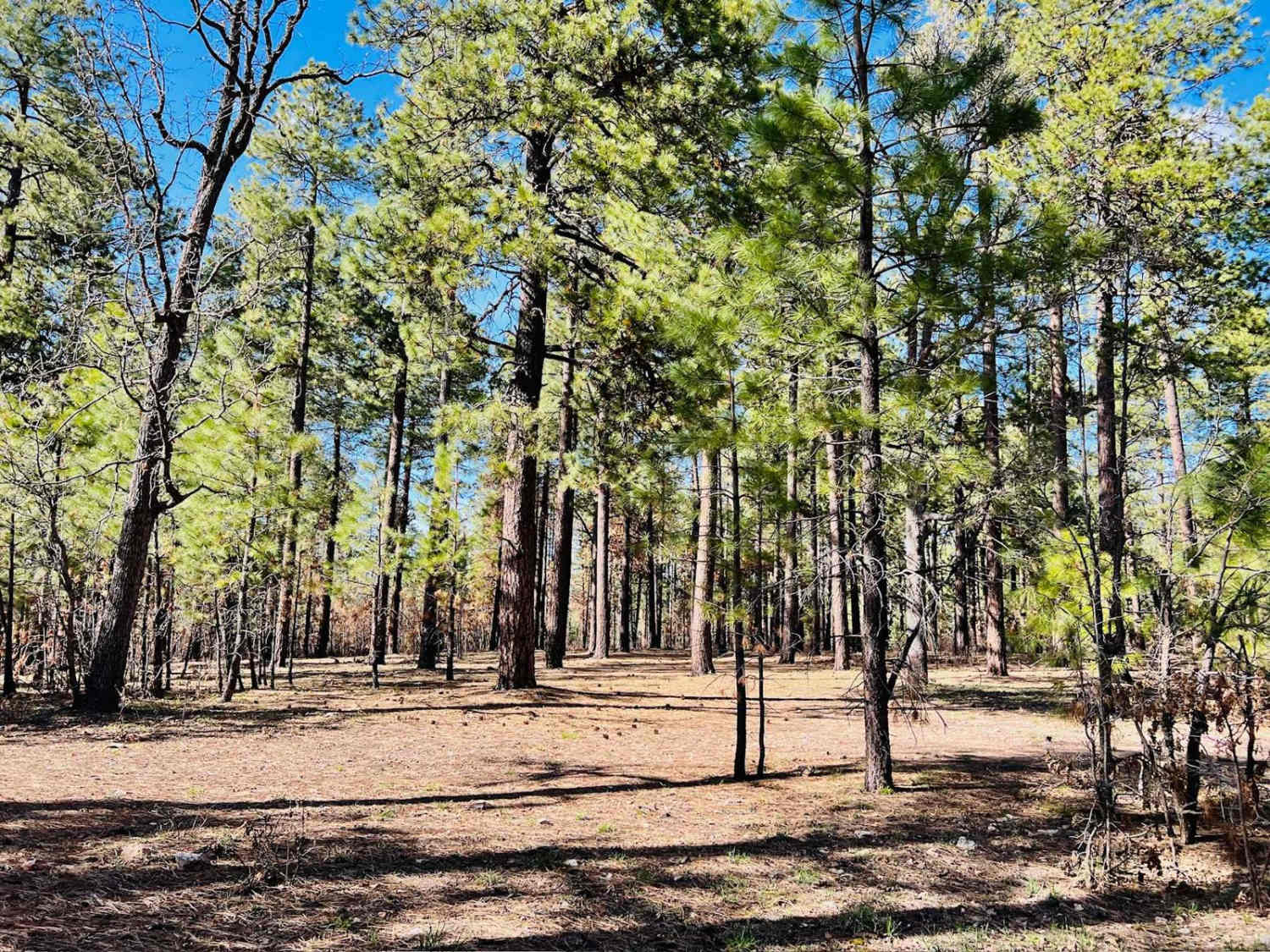
Corduroy Wash Trail
Total Miles
1.8
Tech Rating
Easy
Best Time
Spring, Summer, Fall
Learn more about Coronado Wash Parallel
Coronado Wash Parallel
Total Miles
4.6
Tech Rating
Easy
Best Time
Spring, Summer, Fall, Winter
Learn more about Corral to Corral Cutover
Corral to Corral Cutover
Total Miles
8.0
Tech Rating
Easy
Best Time
Winter, Fall, Spring
Learn more about Cottonwood 
Cottonwood
Total Miles
6.5
Tech Rating
Easy
Best Time
Spring, Summer, Fall, Winter
Learn more about Cottonwood - Telegraph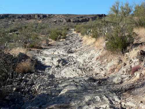
Cottonwood - Telegraph
Total Miles
21.8
Tech Rating
Moderate
Best Time
Summer, Fall
Learn more about Cottonwood Canyon
Cottonwood Canyon
Total Miles
1.4
Tech Rating
Moderate
Best Time
Spring, Summer, Fall, Winter
Learn more about Cottonwood Canyon Express - Single Track
Cottonwood Canyon Express - Single Track
Total Miles
1.8
Tech Rating
Difficult
Best Time
Spring, Summer, Fall, Winter
Learn more about Cottonwood Cove-BLM1082
Cottonwood Cove-BLM1082
Total Miles
3.7
Tech Rating
Easy
Best Time
Spring, Summer
Learn more about Cottonwood Loop #509 
Cottonwood Loop #509
Total Miles
6.5
Tech Rating
Easy
Best Time
Spring, Fall, Winter
Learn more about Cottonwood Point 
Cottonwood Point
Total Miles
5.0
Tech Rating
Easy
Best Time
Winter, Fall, Summer, Spring
Learn more about Cottonwood Valley Overlook to Airport Coves
Cottonwood Valley Overlook to Airport Coves
Total Miles
2.2
Tech Rating
Easy
Best Time
Spring, Fall
Learn more about County Highway 125 - Route 7000
County Highway 125 - Route 7000
Total Miles
3.2
Tech Rating
Moderate
Best Time
Spring, Summer, Fall, Winter
Learn more about County Hwy 103-Twin Point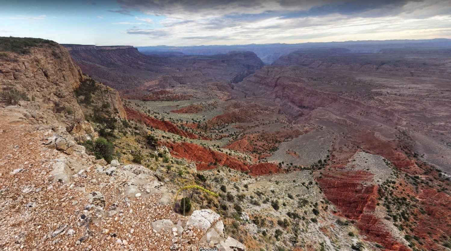
County Hwy 103-Twin Point
Total Miles
51.8
Tech Rating
Easy
Best Time
Spring, Summer, Fall
Learn more about County Hwy 109/Mt. Trumbull Road
County Hwy 109/Mt. Trumbull Road
Total Miles
40.1
Tech Rating
Easy
Best Time
Spring, Summer, Fall, Winter
ATV trails in Arizona
Learn more about Scrub Oak Bypass 
Scrub Oak Bypass
Total Miles
0.5
Tech Rating
Easy
Best Time
Spring, Summer, Fall


UTV/side-by-side trails in Arizona
Learn more about Scrub Oak Bypass
Scrub Oak Bypass
Total Miles
0.5
Tech Rating
Easy
Best Time
Spring, Summer, Fall
The onX Offroad Difference
onX Offroad combines trail photos, descriptions, difficulty ratings, width restrictions, seasonality, and more in a user-friendly interface. Available on all devices, with offline access and full compatibility with CarPlay and Android Auto. Discover what you’re missing today!