County Hwy 109/Mt. Trumbull Road
Total Miles
40.1
Technical Rating
Best Time
Spring, Summer, Fall, Winter
Trail Type
Full-Width Road
Accessible By
Trail Overview
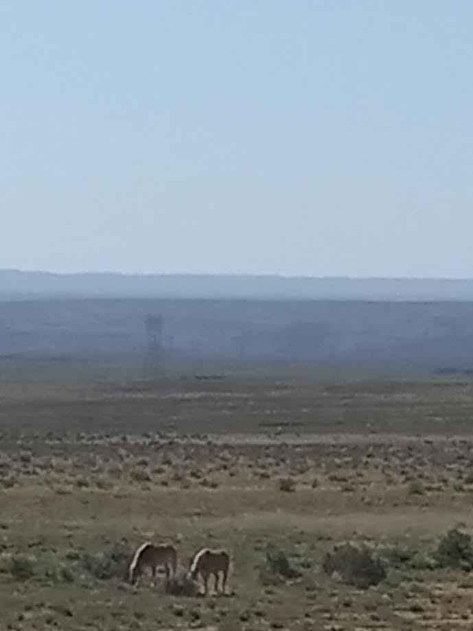
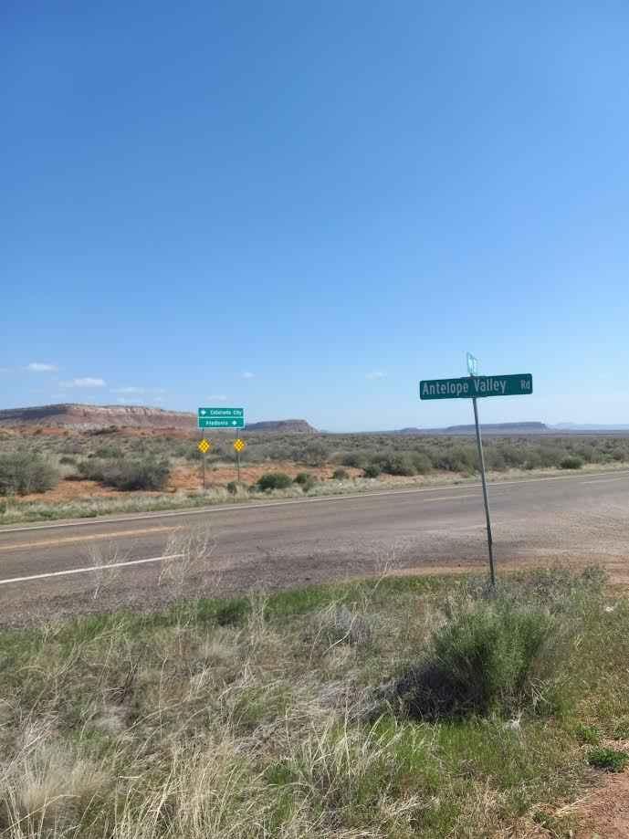
The road sign says Antelope Valley. It is a wide dirt, gravel, and sand trail that is rated at class 2. The trail is five miles east of Pipe Springs, AZ, and the South side of Highway 389 in AZ. The trail winds down south towards the Toroweap Ranger Station in The Grand Canyon National Park. There is a primitive campground with ten sites. A permit required also a permit for camping. Acquire permits before arriving at the Ranger Station because you will not be able to purchase them at the ranger station.
Photos of County Hwy 109/Mt. Trumbull Road
Difficulty
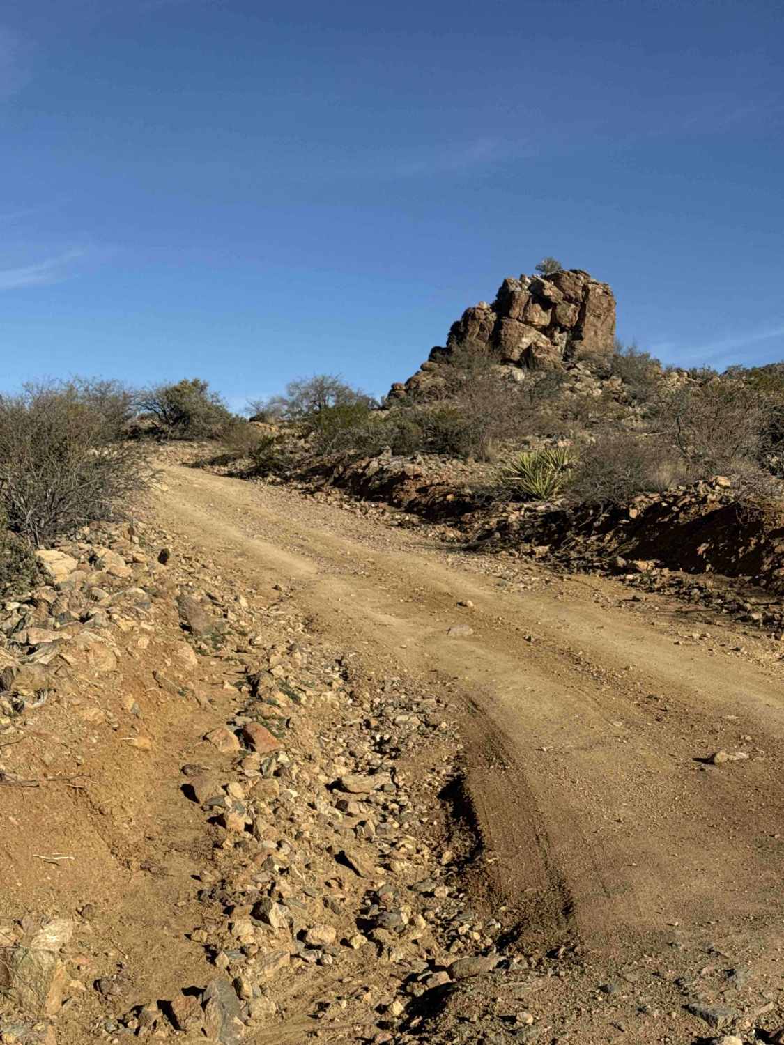
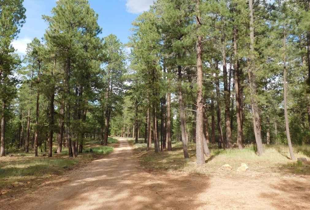
This trail is sand, gravel, and dirt wide for two vehicles. If rains are nearby flooding may be possible and wetness will cause mud.
Status Reports
County Hwy 109/Mt. Trumbull Road can be accessed by the following ride types:
- High-Clearance 4x4
- SUV
- SxS (60")
- ATV (50")
- Dirt Bike
County Hwy 109/Mt. Trumbull Road Map
Popular Trails

Bighorn Cove Road

Desoto Mine Trail / FS259B, FS9268R, & FS89
The onX Offroad Difference
onX Offroad combines trail photos, descriptions, difficulty ratings, width restrictions, seasonality, and more in a user-friendly interface. Available on all devices, with offline access and full compatibility with CarPlay and Android Auto. Discover what you’re missing today!