Corbitt Dam Road
Total Miles
12.2
Technical Rating
Best Time
Spring, Summer, Fall
Trail Type
Full-Width Road
Accessible By
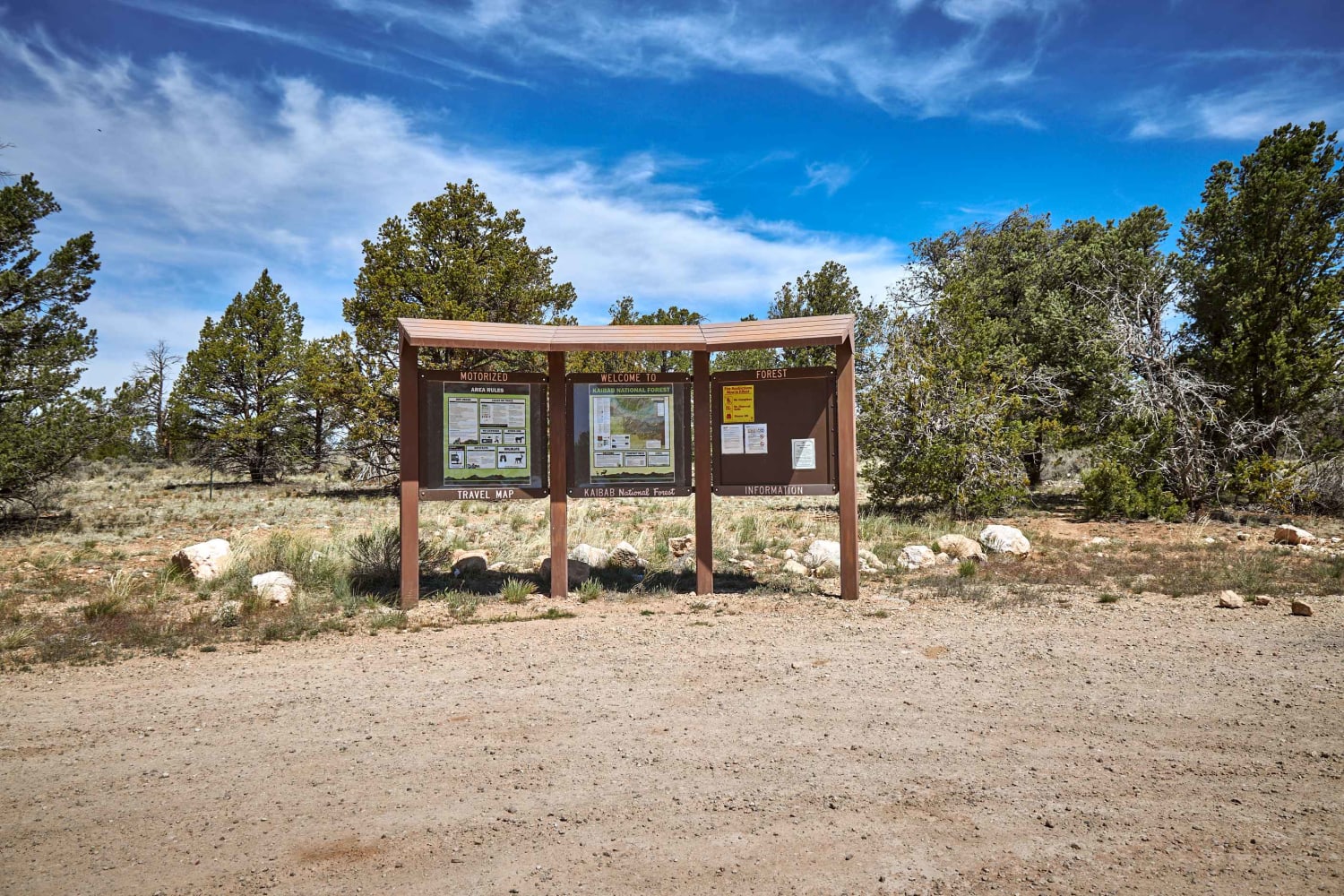
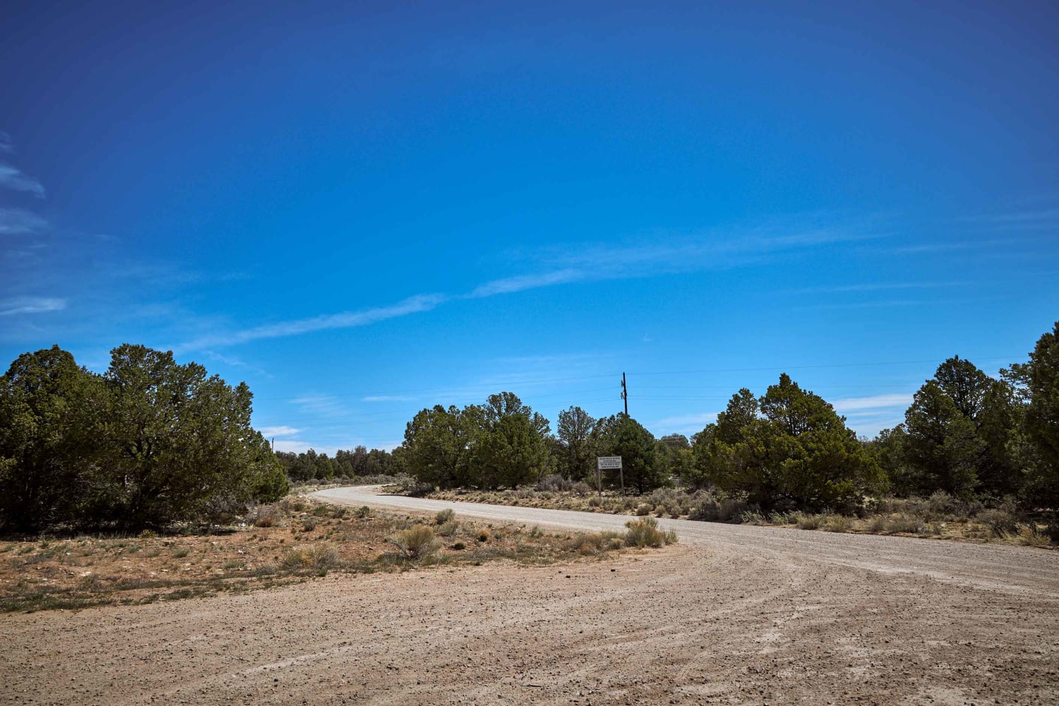
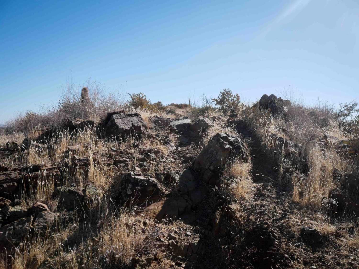
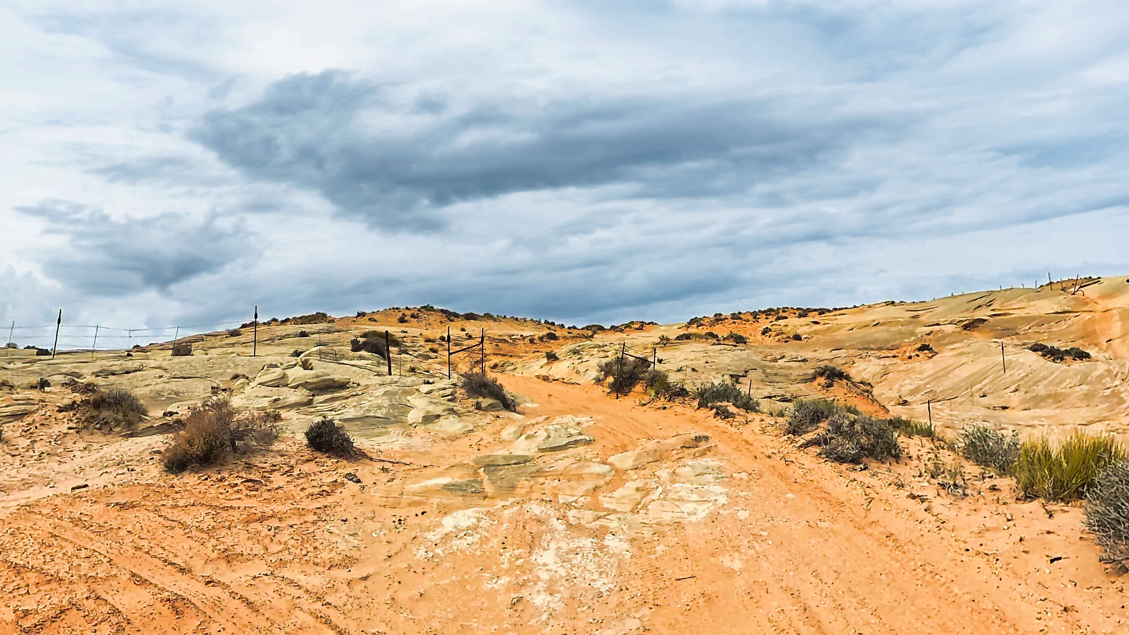
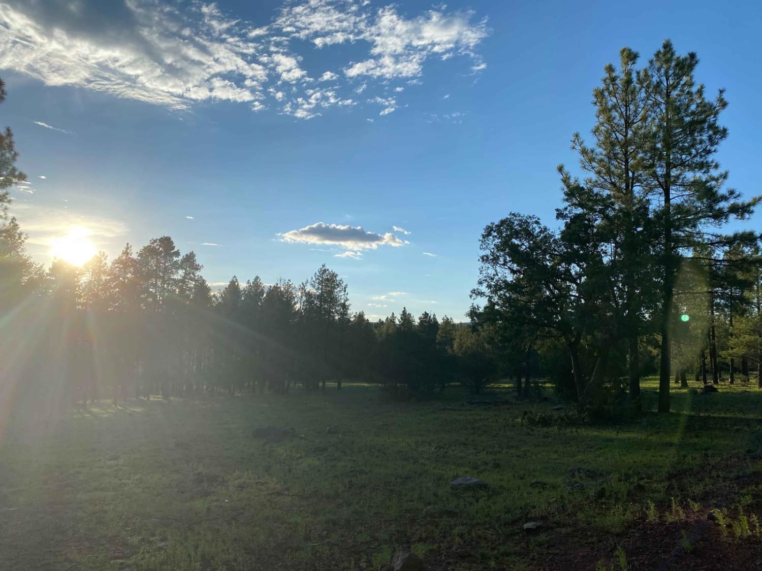
Trail Overview
Corbett Dam Road starts as a wide, two-lane forest road, and ends almost 15 miles later as one lane rocky road that leads out of the Kaibab National Forest at its Southern Terminus. It weaves through a mixed forest of Pinon Pines, Ponderosa Pines, and Juniper trees. This Forest yields further south to a beautiful meadow view with scrub brush and underbrush skirting the road with astonishing views of Mt. Humphreys and the San Francisco Peaks. Along the way, you'll see antelope, prairie dog towns, elk, mule deer, and grazing cattle.
Photos of Corbitt Dam Road
Difficulty
Forest road unmaintained and could prove challenging after a rain or snow.
Status Reports
Corbitt Dam Road can be accessed by the following ride types:
- High-Clearance 4x4
- SUV
- SxS (60")
- ATV (50")
- Dirt Bike
Corbitt Dam Road Map
Popular Trails

The Buzz of Gila Bend
Ritter Road (Newman Park)
The onX Offroad Difference
onX Offroad combines trail photos, descriptions, difficulty ratings, width restrictions, seasonality, and more in a user-friendly interface. Available on all devices, with offline access and full compatibility with CarPlay and Android Auto. Discover what you’re missing today!