Off-Road Trails in Arizona
Discover off-road trails in Arizona
Learn more about Black Mountain Road
Black Mountain Road
Total Miles
4.7
Tech Rating
Moderate
Best Time
Spring, Summer, Fall, Winter
Learn more about Black Mountain West
Black Mountain West
Total Miles
4.3
Tech Rating
Moderate
Best Time
Spring, Fall, Winter
Learn more about Black Range Mine
Black Range Mine
Total Miles
3.2
Tech Rating
Moderate
Best Time
Spring, Summer, Fall, Winter
Learn more about Black Rock Fun Park - Single Track
Black Rock Fun Park - Single Track
Total Miles
10.6
Tech Rating
Moderate
Best Time
Spring, Summer, Fall, Winter
Learn more about Black Rock Gulch Road-BLM1009
Black Rock Gulch Road-BLM1009
Total Miles
18.9
Tech Rating
Easy
Best Time
Spring, Summer, Fall
Learn more about Black Rock Mountain Road-BLM1022
Black Rock Mountain Road-BLM1022
Total Miles
14.9
Tech Rating
Easy
Best Time
Spring, Summer, Fall
Learn more about Black Rock Road East-BLM1004
Black Rock Road East-BLM1004
Total Miles
11.0
Tech Rating
Easy
Best Time
Spring, Summer, Fall
Learn more about Black Rock Road-BLM1004
Black Rock Road-BLM1004
Total Miles
6.2
Tech Rating
Easy
Best Time
Spring, Summer, Fall
Learn more about Black Rock Trail
Black Rock Trail
Total Miles
2.2
Tech Rating
Moderate
Best Time
Fall, Summer, Spring
Learn more about Blackfalls Loop
Blackfalls Loop
Total Miles
1.8
Tech Rating
Easy
Best Time
Spring, Fall, Winter
Learn more about Blacktail Hill
Blacktail Hill
Total Miles
6.5
Tech Rating
Easy
Best Time
Spring, Fall, Winter
Learn more about Blaisdell Rifle Range Road
Blaisdell Rifle Range Road
Total Miles
1.9
Tech Rating
Moderate
Best Time
Spring, Fall, Winter
Learn more about Blind Lake Tank Trail 213B 
Blind Lake Tank Trail 213B
Total Miles
4.6
Tech Rating
Easy
Best Time
Spring
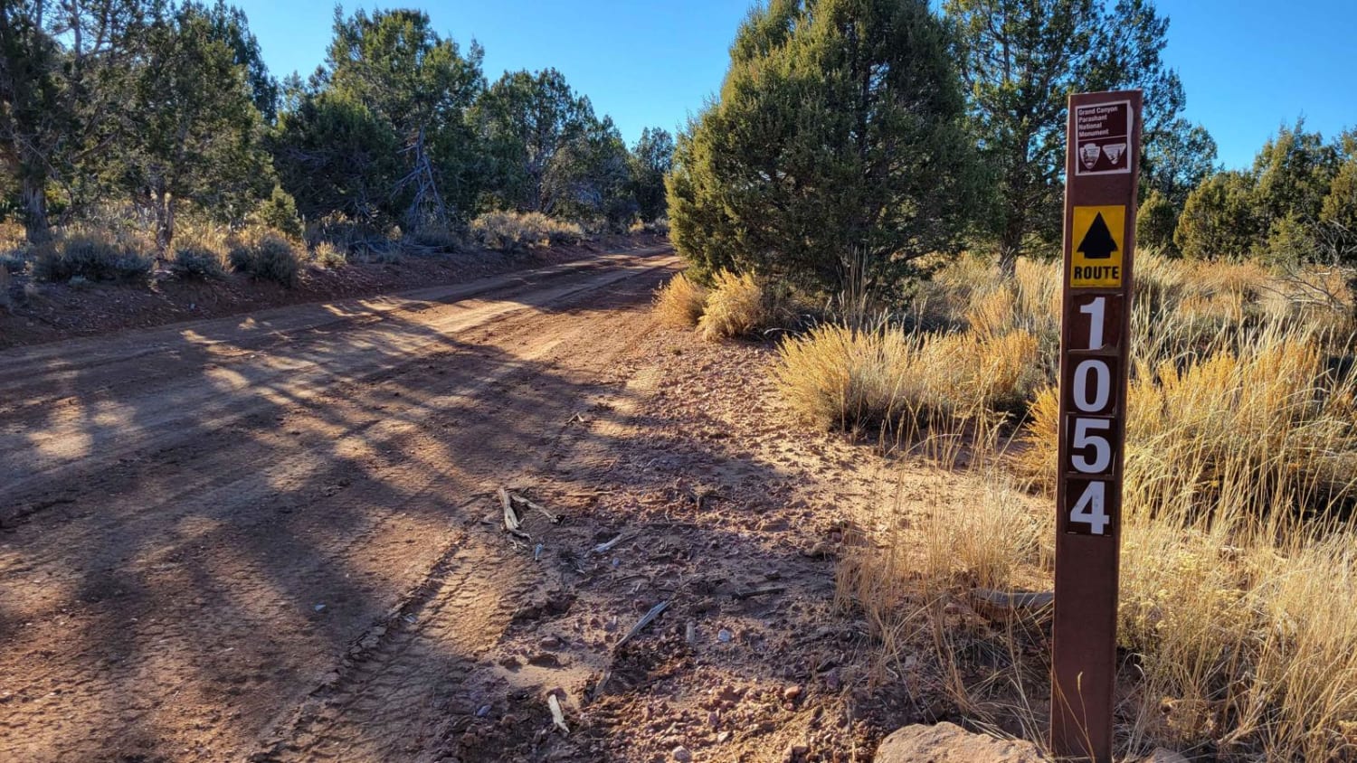
Learn more about BLM 1025 to House Rock Road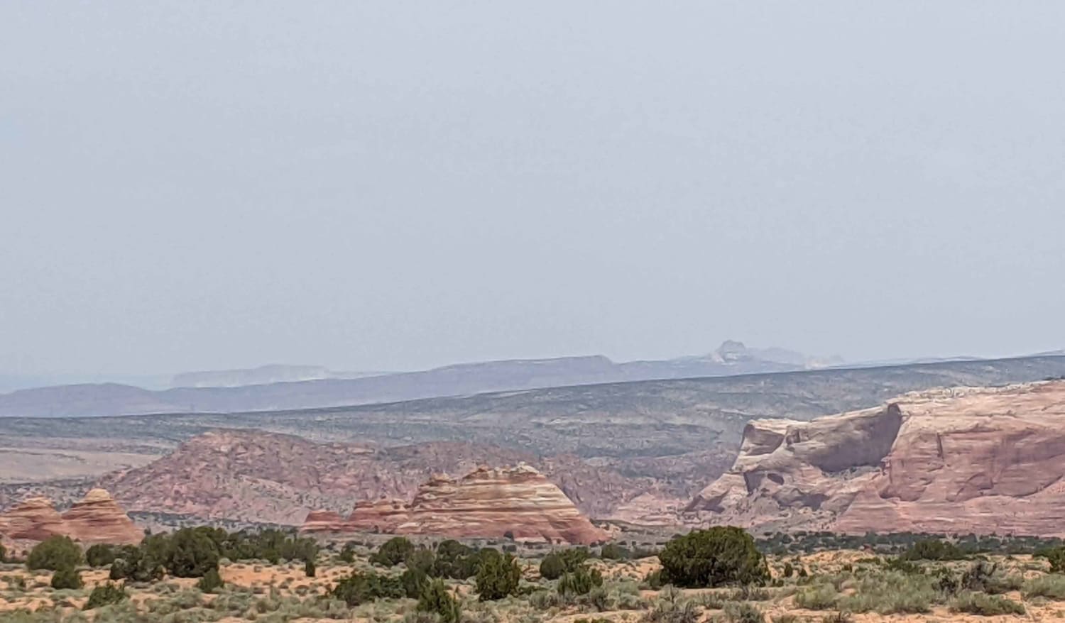
BLM 1025 to House Rock Road
Total Miles
23.3
Tech Rating
Easy
Best Time
Spring, Summer, Fall
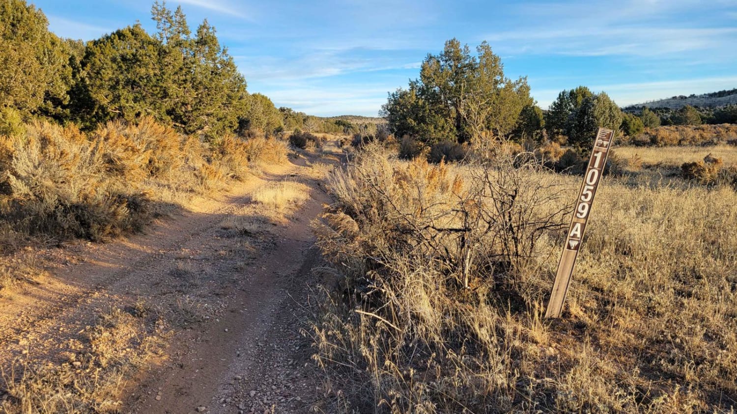
Learn more about BLM 1395 " The Cutover"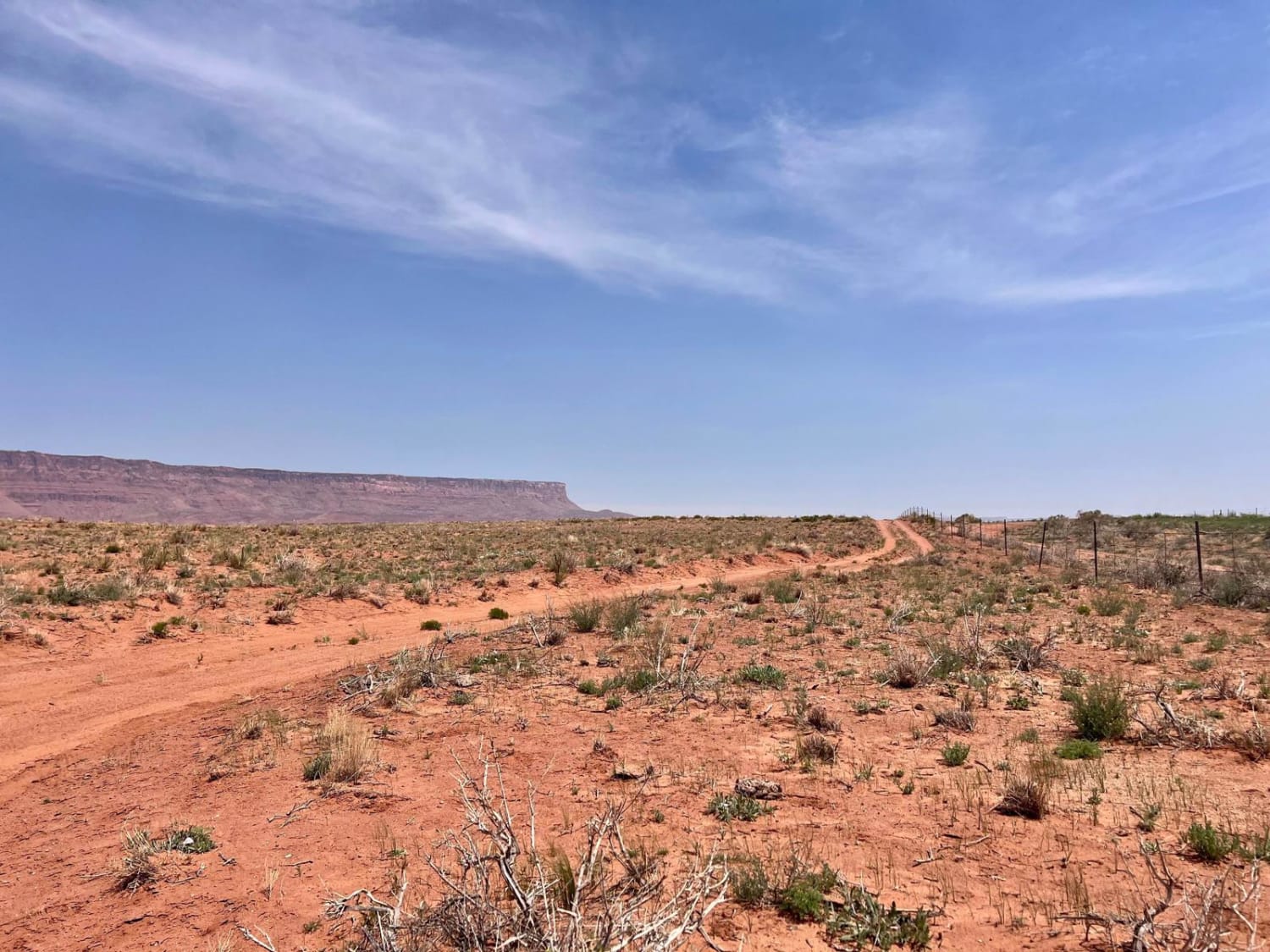
BLM 1395 " The Cutover"
Total Miles
1.5
Tech Rating
Easy
Best Time
Spring, Fall
ATV trails in Arizona
Learn more about Scrub Oak Bypass 
Scrub Oak Bypass
Total Miles
0.5
Tech Rating
Easy
Best Time
Spring, Summer, Fall


UTV/side-by-side trails in Arizona
Learn more about Scrub Oak Bypass
Scrub Oak Bypass
Total Miles
0.5
Tech Rating
Easy
Best Time
Spring, Summer, Fall
The onX Offroad Difference
onX Offroad combines trail photos, descriptions, difficulty ratings, width restrictions, seasonality, and more in a user-friendly interface. Available on all devices, with offline access and full compatibility with CarPlay and Android Auto. Discover what you’re missing today!