Blaisdell Rifle Range Road
Total Miles
1.9
Technical Rating
Best Time
Spring, Fall, Winter
Trail Type
High-Clearance 4x4 Trail
Accessible By
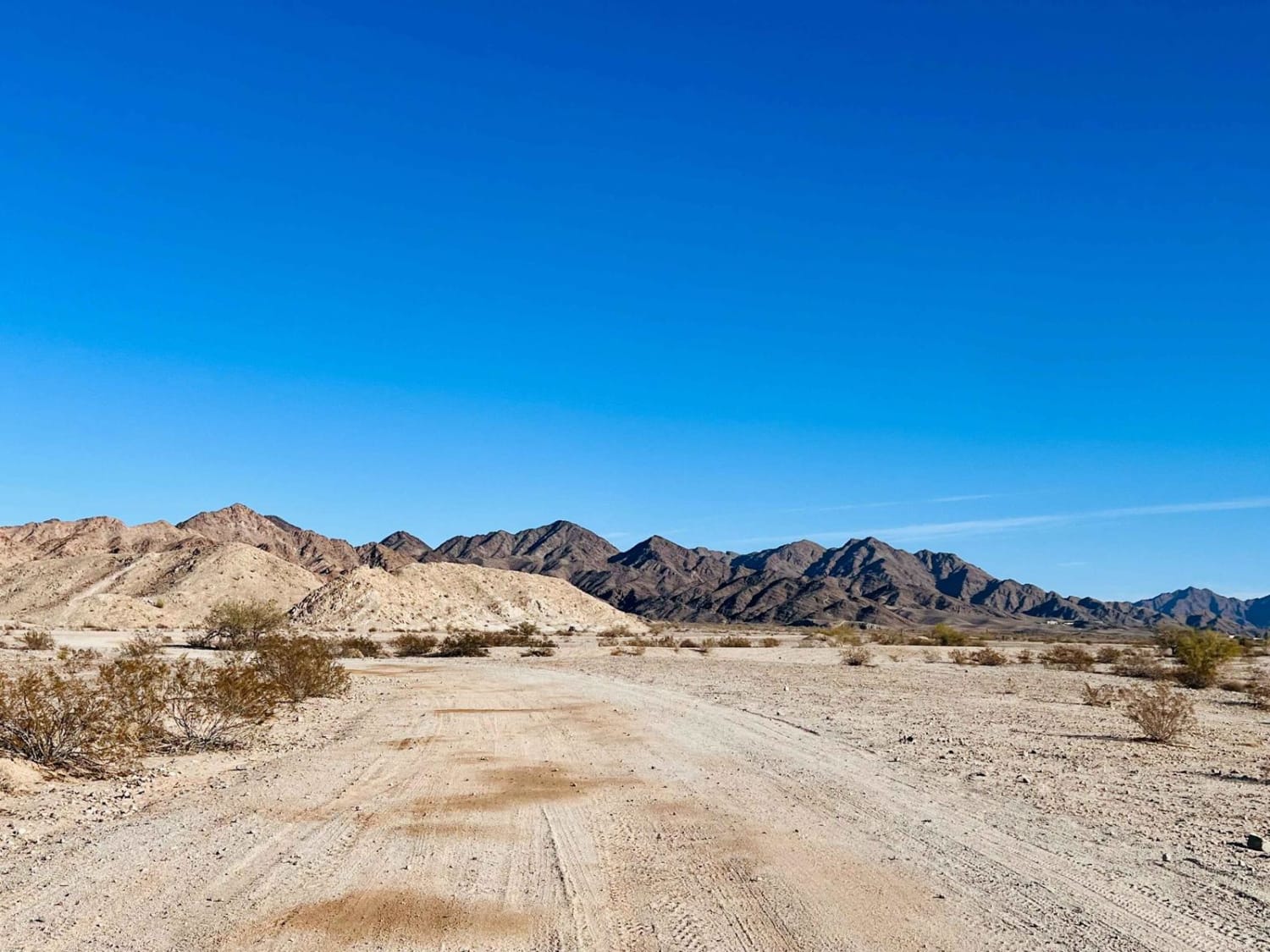
Trail Overview
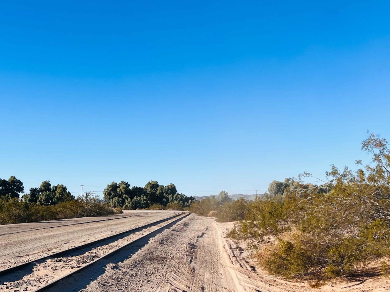
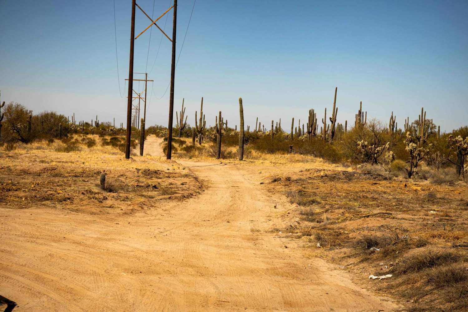
This route is an excellent option as the main access route into the BLM land without crossing through Arizona State Land Trust land. It has an easy turnoff from Highway 95, with a paved railroad track crossing. The first part of this out-and-back trail has an incredibly deep silty, sandy section. Sticking to the recorded route will be best regardless of what you're driving. Once past that, the trail climbs an easy potholed ridge and is most heavily trafficked with a combination of hard-pack dirt and deep washboard. Once closer to the range, one will notice a long, bermed hill to their right. This hill makes up the main shooting area, with much longer range sections further past it. The trail's end is a little more complicated terrain, ending at a grand canyon to set up for those 300yd shots. There are three bars of Verizon 5G the whole way.
Photos of Blaisdell Rifle Range Road
Difficulty
Only rate 4 for the deep sand near the beginning, if one drives around expect a 2-3 rating for potholes, and washboards with some less deep sand.
Status Reports
Blaisdell Rifle Range Road can be accessed by the following ride types:
- High-Clearance 4x4
- SxS (60")
- ATV (50")
- Dirt Bike
Blaisdell Rifle Range Road Map
Popular Trails

Long Valley West

Turkey Creek Springs FR 4408

The onX Offroad Difference
onX Offroad combines trail photos, descriptions, difficulty ratings, width restrictions, seasonality, and more in a user-friendly interface. Available on all devices, with offline access and full compatibility with CarPlay and Android Auto. Discover what you’re missing today!