FS 689
Total Miles
5.9
Technical Rating
Best Time
Spring, Summer, Fall
Trail Type
Full-Width Road
Accessible By
Trail Overview
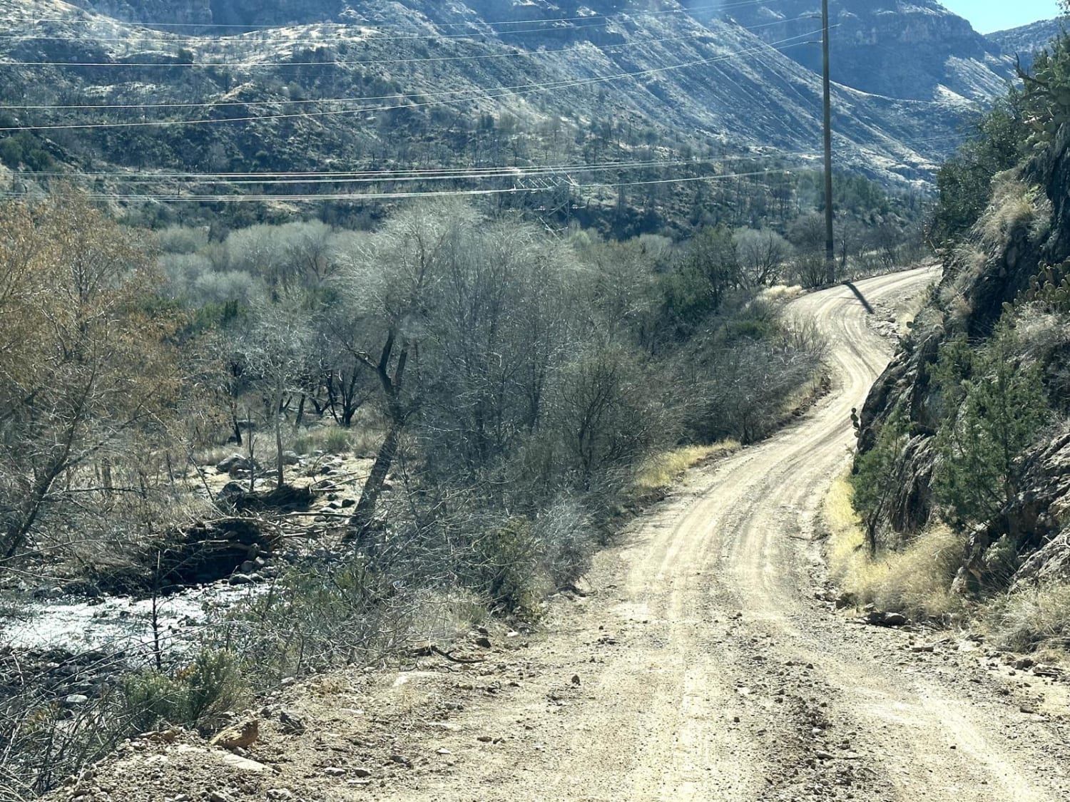
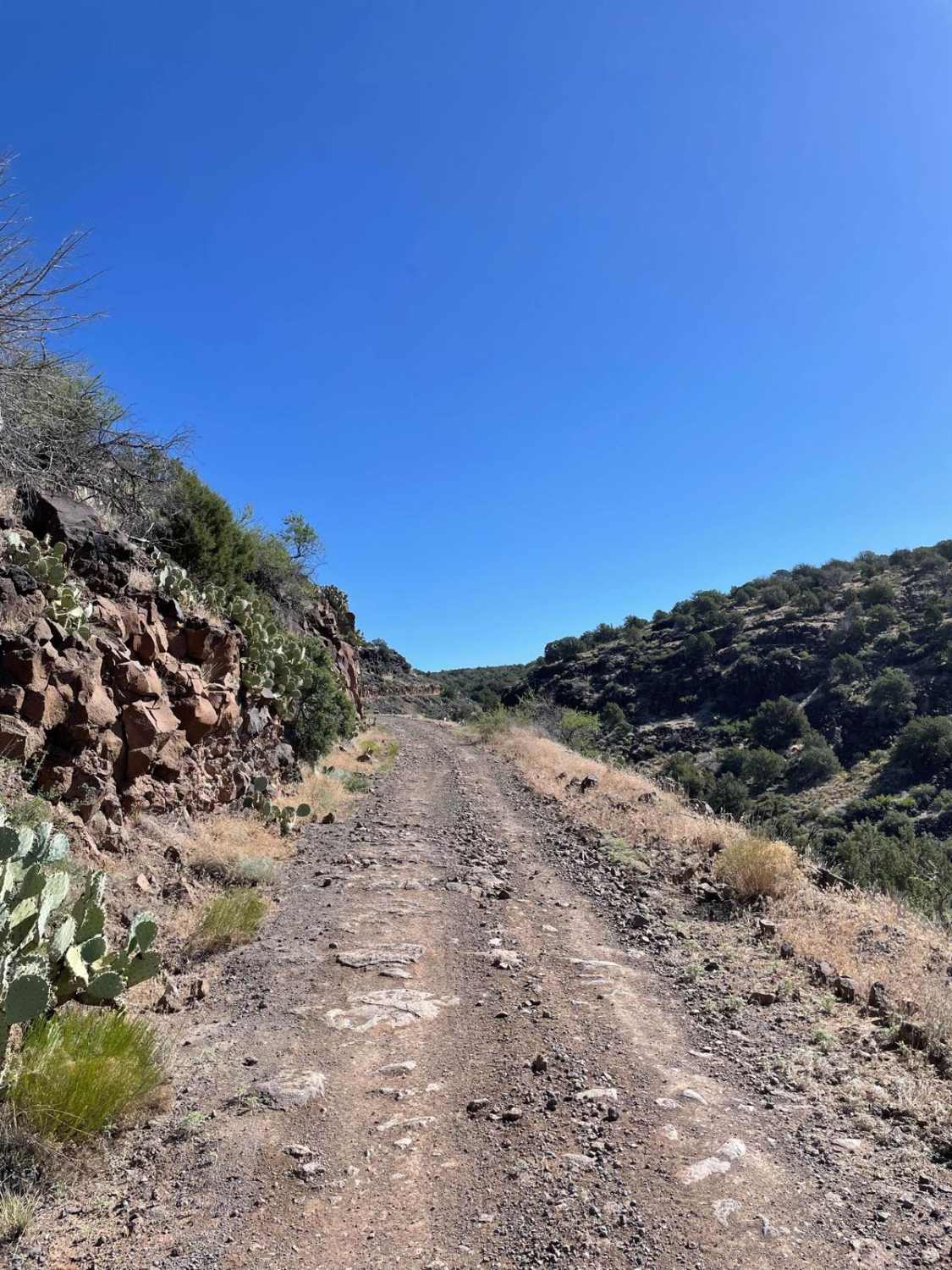
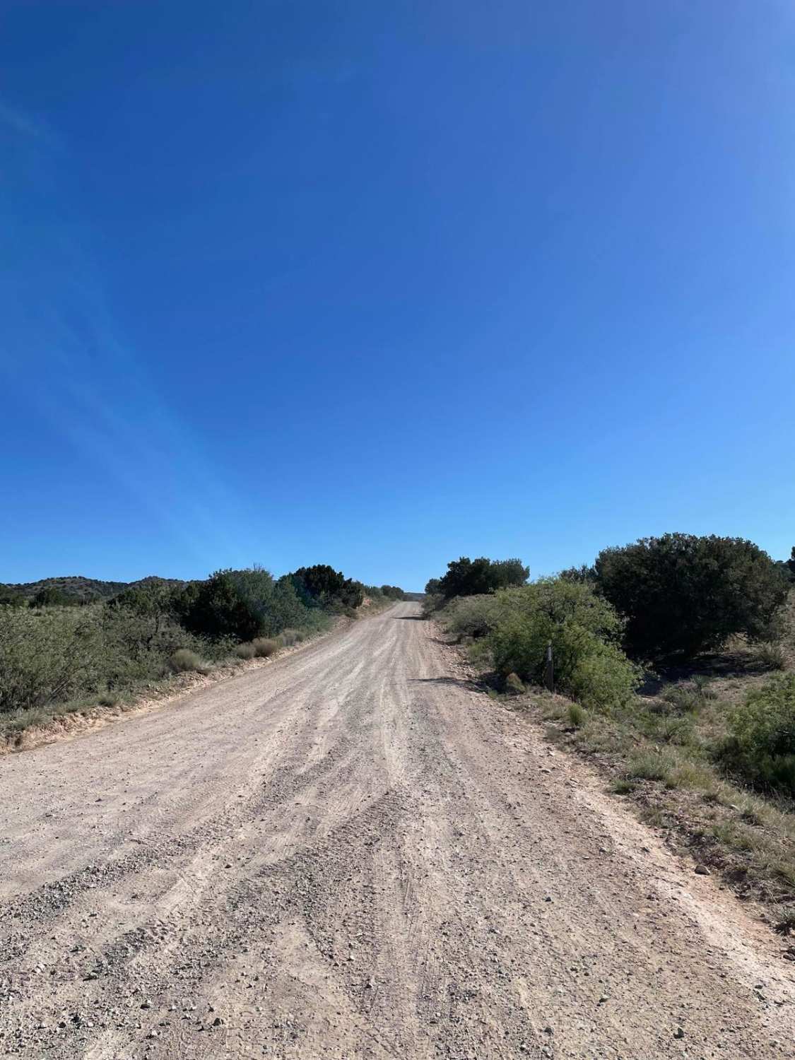
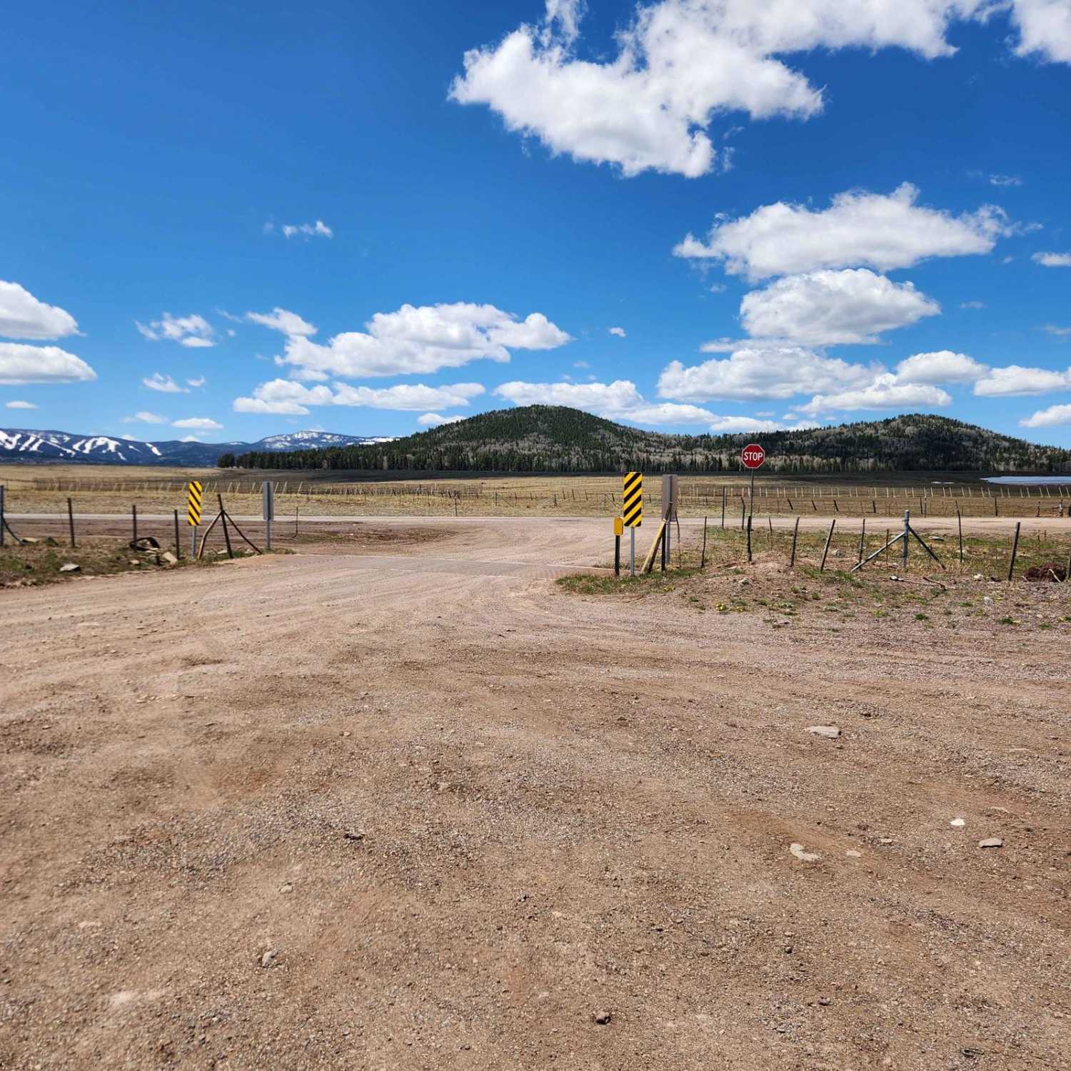
Forest Service Road 689 starts off of Beaver Creek Road and travels north. This trail allows you to travel from Beaver Creek Road to Stoneman Lake Road without having to use I-17. The first section of this trail is a maintained dirt road. This southern section offers the majority of the dispersed camping spots as well. You will come to a gate that you must open and close. After this gate, the trail starts to climb in elevation and the trail's surface starts to get more rocky. The trail turns into a rocky shelf road as you traverse the steep canyon that is below you. There are several small rock gardens on this section of the trail. The rockier section of this trail gives way after Blue Grade Tank. After passing Blue Grade Tank, you will come to another gate similar to the first one to the south. Once you are past this gate, the trail turns back into a semi-maintained dirt road that ends at a deteriorated paved access road. There are a few camping spots on the north end of this trail.
Photos of FS 689
Difficulty
Expect a rocky shelf road while traversing the steep canyon section.
FS 689 can be accessed by the following ride types:
- High-Clearance 4x4
- SUV
- SxS (60")
- ATV (50")
- Dirt Bike
FS 689 Map
Popular Trails

Smooth Transition

Fossil Creek to Child's Campground
The onX Offroad Difference
onX Offroad combines trail photos, descriptions, difficulty ratings, width restrictions, seasonality, and more in a user-friendly interface. Available on all devices, with offline access and full compatibility with CarPlay and Android Auto. Discover what you’re missing today!


