Black Rock Road-BLM1004
Total Miles
6.2
Technical Rating
Best Time
Spring, Summer, Fall
Trail Type
Full-Width Road
Accessible By
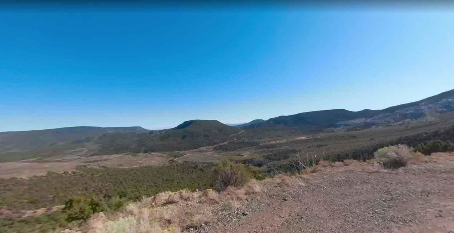
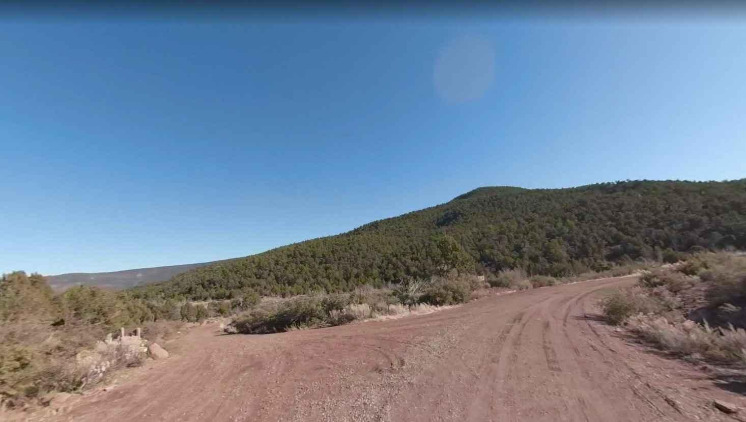
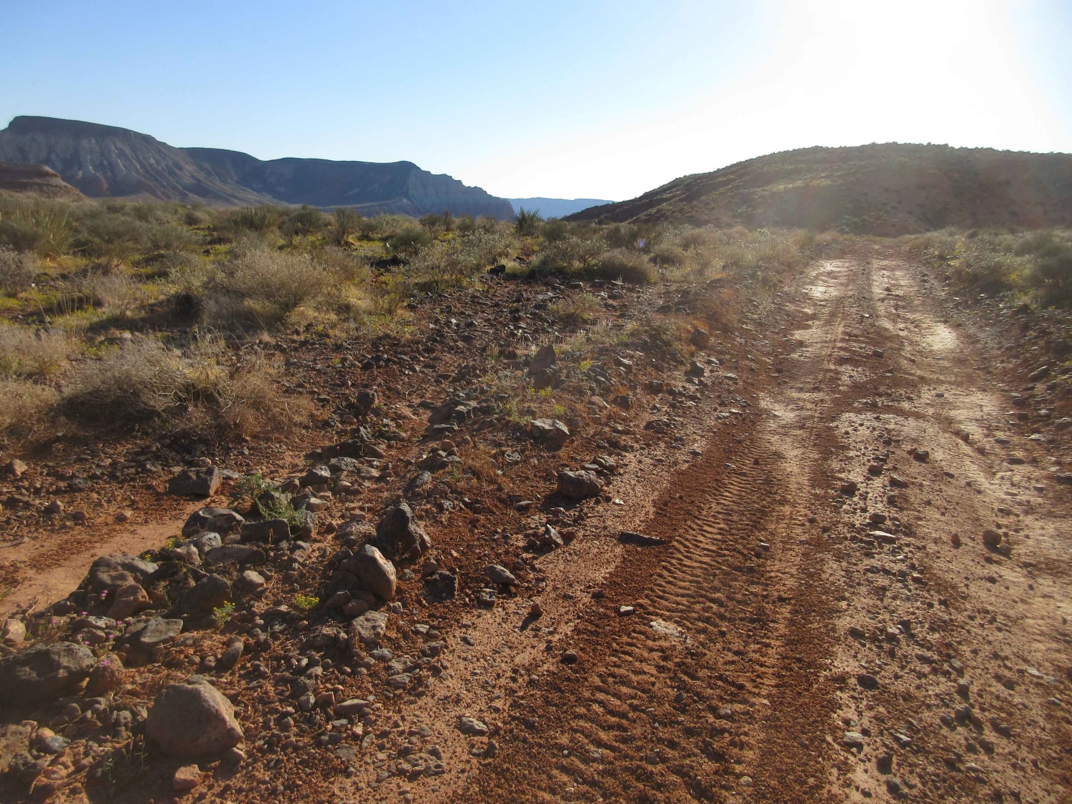
Trail Overview
Black Rock Rd-BLM1004 is a point-to-point 6-mile trail rated 3 of 10. The trail follows the southern side of Low Mountain and provides the connection between Black Rock Mountain Road-BLM1022 and Black Mountain Gulch Road-BLM1009. The trail is an unmaintained high desert track used by the BLM for land management. This trail may be closed by the BLM during winter months if road conditions deteriorate or become impassable.
Photos of Black Rock Road-BLM1004
Difficulty
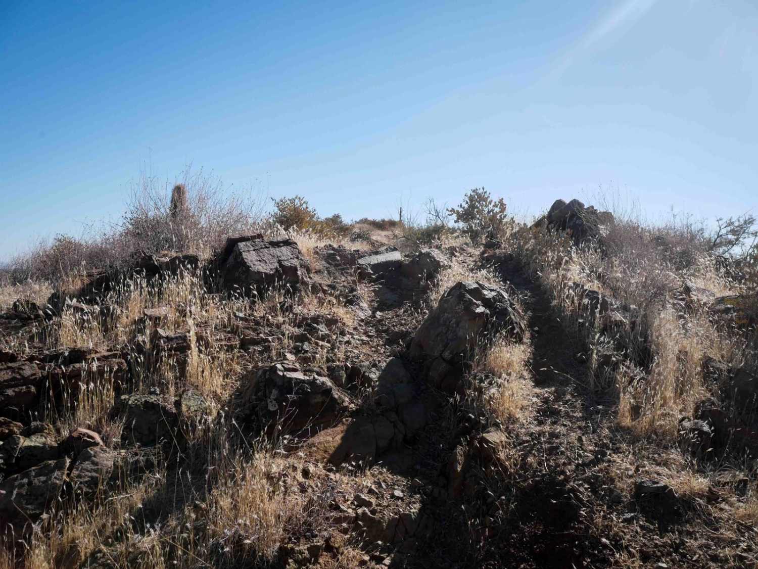
Trail consisting of loose rocks, dirt, and sand with some slickrock surfaces, mud holes possible, no steps higher than 12". 4WD may be required, aggressive tires a plus.
Status Reports
Black Rock Road-BLM1004 can be accessed by the following ride types:
- High-Clearance 4x4
- SUV
- SxS (60")
- ATV (50")
- Dirt Bike
Black Rock Road-BLM1004 Map
Popular Trails
Sunshine - Temple Trails Interconnect

Sullivan Ridge

Access Single Track
The onX Offroad Difference
onX Offroad combines trail photos, descriptions, difficulty ratings, width restrictions, seasonality, and more in a user-friendly interface. Available on all devices, with offline access and full compatibility with CarPlay and Android Auto. Discover what you’re missing today!