Black Rock Road East-BLM1004
Total Miles
11.0
Technical Rating
Best Time
Spring, Summer, Fall
Trail Type
High-Clearance 4x4 Trail
Accessible By
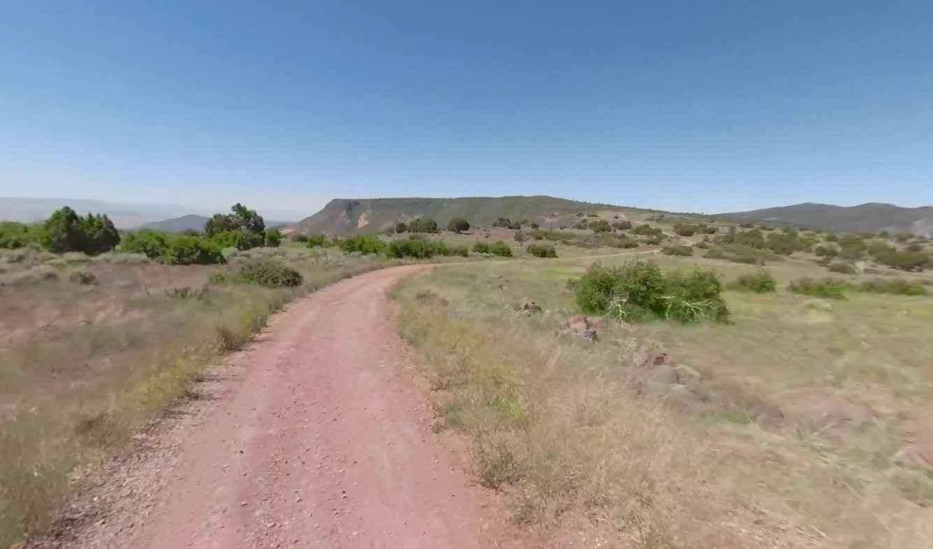
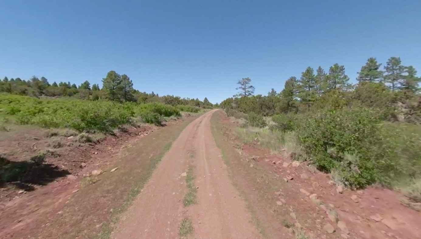
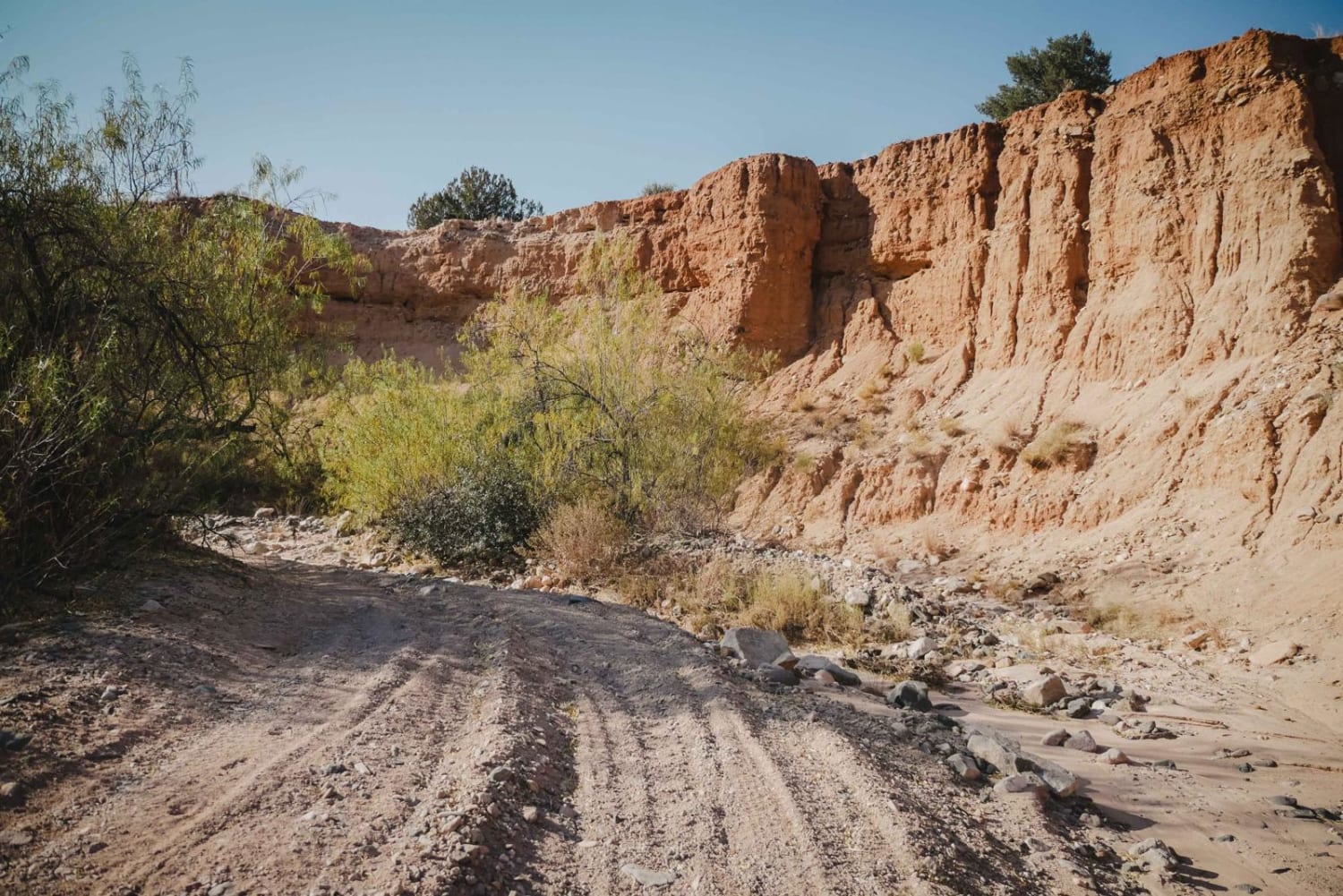
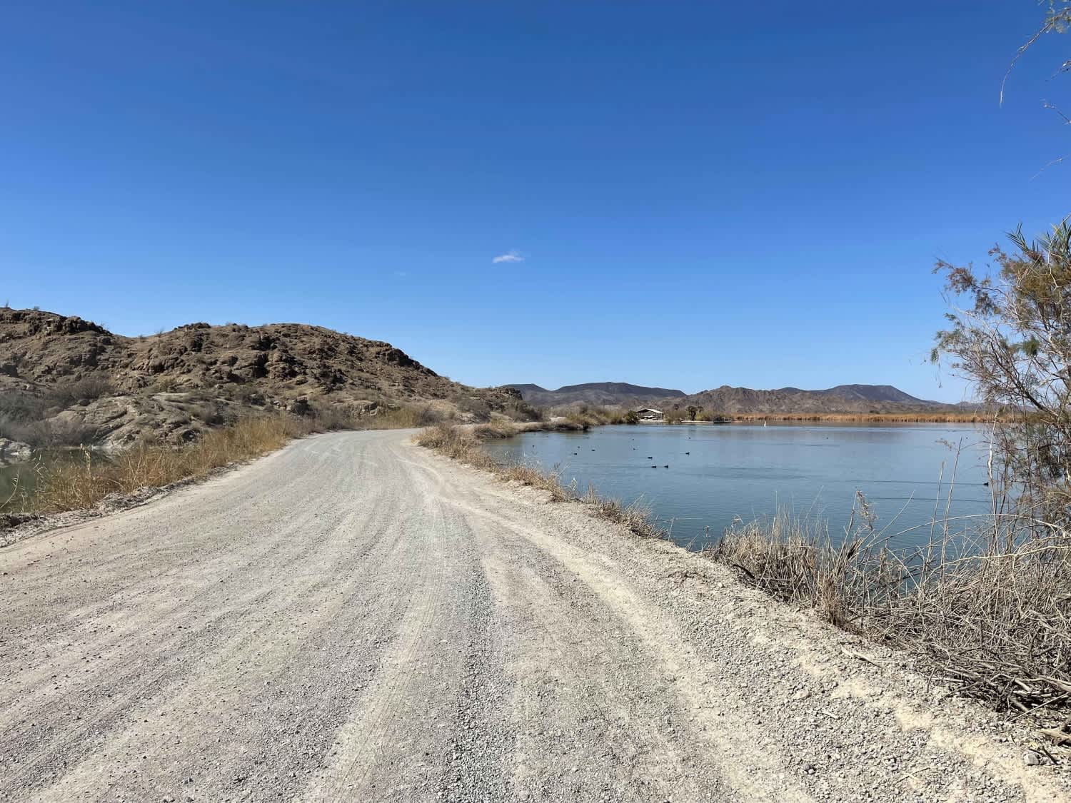
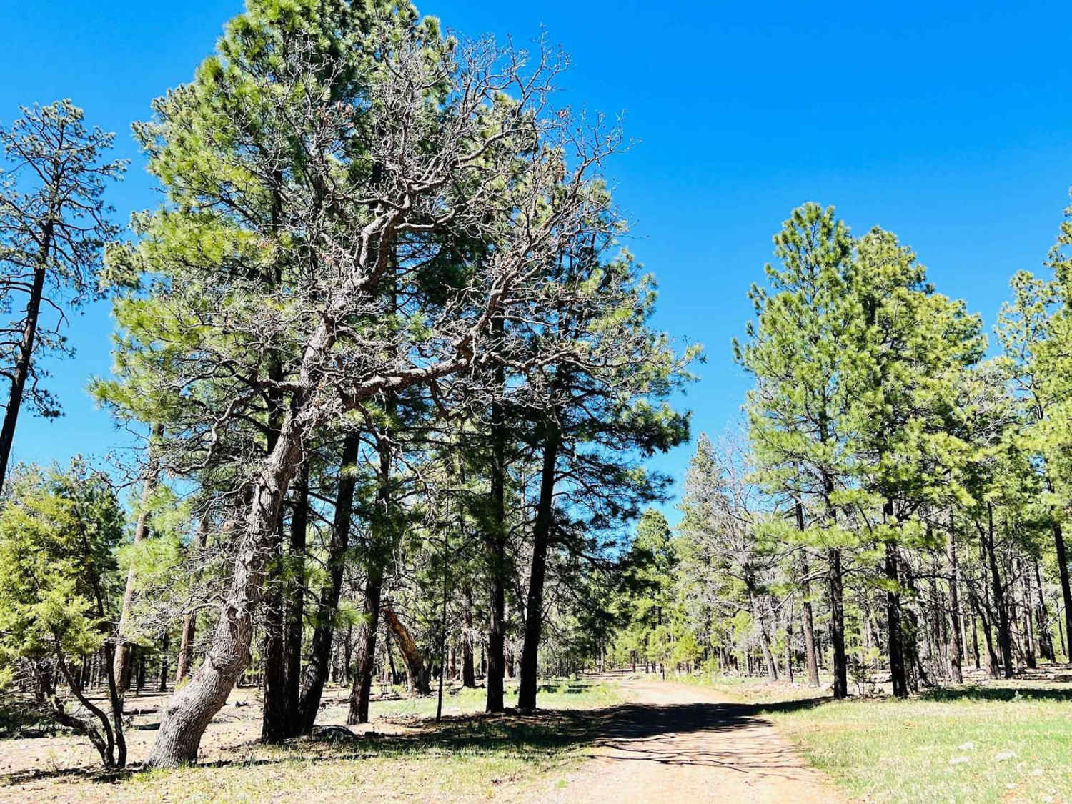
Trail Overview
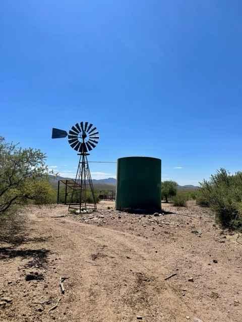
Black Rock Road East-BLM1004 is a 11-mile straight-through rated 3 of 10. The western end of this section starts at the intersection of Black Rock Gulch Road-BLM1009 and Black Rock Road. The eastern end of this section is the intersection with Mt Trumbull Road-Mohave County Road 5. Black Rock Road East is used primarily for access into the central region of the Grand Canyon-Parashant National Monument region and the north rim of the Grand Canyon National Park. Approaching from the west the road climbs over Black Rock Mountain covered in Pinyon Pine and scrub brush. Dropping down into the central plateau the area becomes wide open range and is leased to ranchers for cattle grazing. The entire road is above 5000' elevation and is subject to closure in the late fall and winter months due to rain and snow conditions. The road is considered relatively easy and should be able to be accessed using any 4WD or AWD vehicle. Be advised that various connector roads may be more difficult. There is no water, gas, food, lodging, Wi-Fi, or cell service. Visitors should be advised that towing charges in the event of vehicles becoming stuck or damaged are in the region of $1000 or more.
Photos of Black Rock Road East-BLM1004
Difficulty
Trail consisting of loose rocks, dirt, and sand with some slick rock surfaces, mud holes possible, no steps higher than 12". 4WD may be required, aggressive tires are a plus.
Status Reports
Black Rock Road East-BLM1004 can be accessed by the following ride types:
- High-Clearance 4x4
- SxS (60")
- ATV (50")
- Dirt Bike
Black Rock Road East-BLM1004 Map
Popular Trails
Cottonwood Loop #509
AZ Peace Trail Mittry Lake Leg
The onX Offroad Difference
onX Offroad combines trail photos, descriptions, difficulty ratings, width restrictions, seasonality, and more in a user-friendly interface. Available on all devices, with offline access and full compatibility with CarPlay and Android Auto. Discover what you’re missing today!