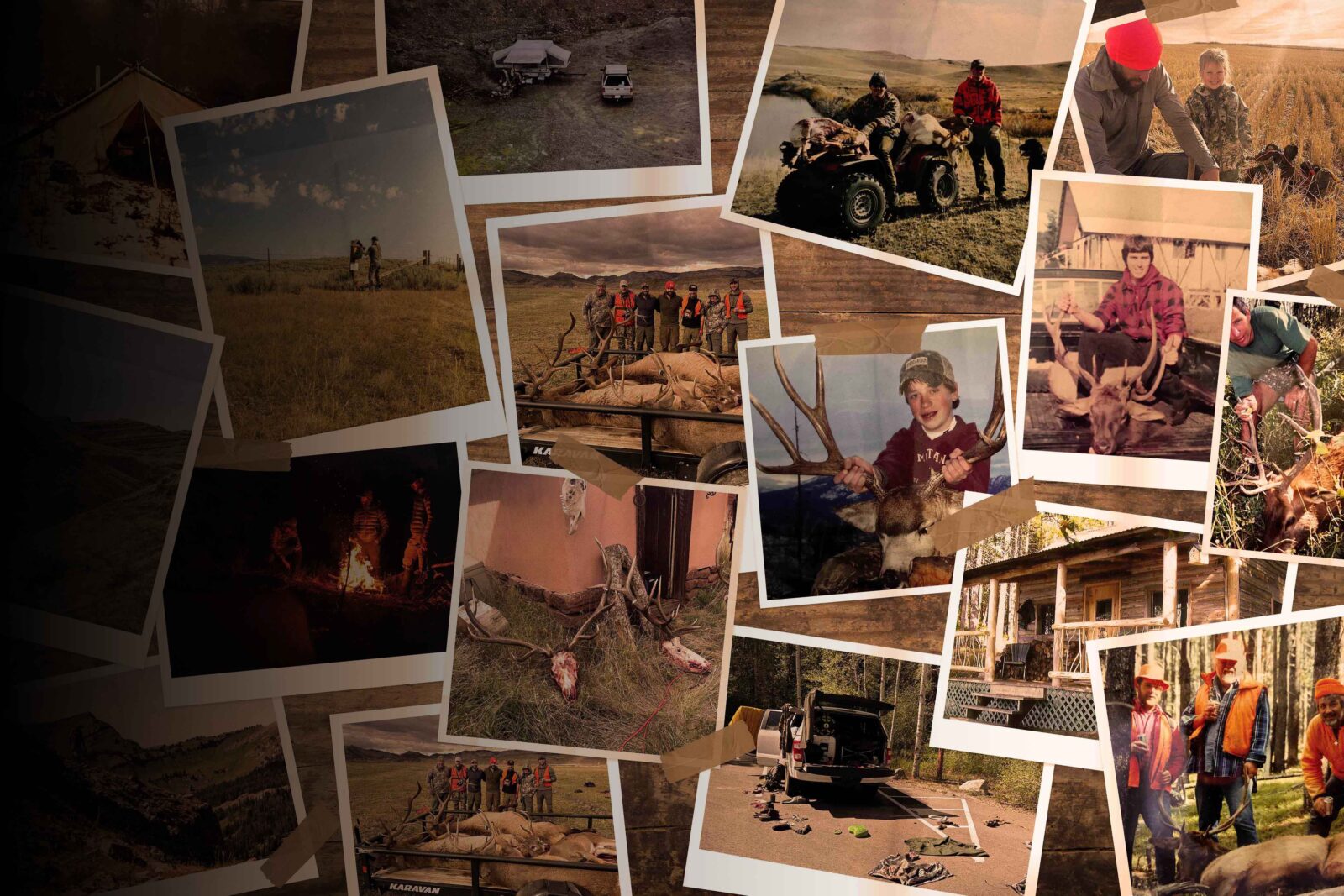
The “Big Sky State” is at the top of many hunters’ bucket lists, and for good reason. Home to most Western big game species, Montana offers opportunities for resident and non-resident hunters.
What’s New in Montana for 2026
General Updates
- The base hunting license fee for non-residents increased to $50.
- The 2026 deer draw has approximately 2,500 fewer non-resident deer combo licences.
- Many Deer B (Anterless) tags are now limited to private land only.
- A new black bear draw starts in 2026, where hunters can either apply or build points. The application deadline is April 1.
Bighorn Sheep Updates
- Unlimited bighorn sheep licences will no longer be available over the counter. All unlimited applicants must submit through the draw by May 1.
- In the unlimited sheep districts, the mandatory reporting time has been reduced from 48 hours to 24 hours. The season will close within 24 hours after the quota is filled, another reduction from the previous 48-hour closure period.
- A harvested bighorn ram must be presented to FWP within 72 hours of harvest, an increase over the previous 48-hour check-in period.
Mountain Goat Updates
Hunt 313-30 was removed, which was the only nanny mountain goat hunt in Montana.
Bison Updates
Both Bison Hunt 385-20 and 395-20 have extended season dates until February 28, 2027.
Antelope Updates
The old 900-20 archery antelope unit has changed, with Region 3 being split off for its own archery unit 399-20. The 900-20 archery tag will only be valid in Regions 4-7.
Huntin’ Fool’s Montana page is an updated resource for ongoing Montana draw changes.
![]()
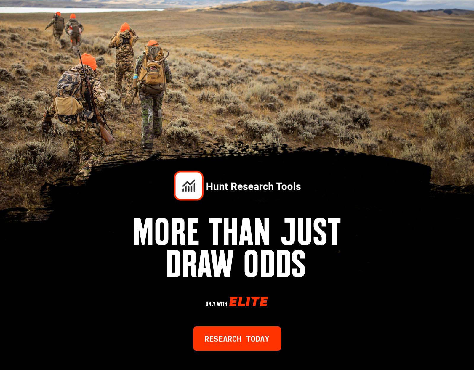
Your Complete System for Securing Tags
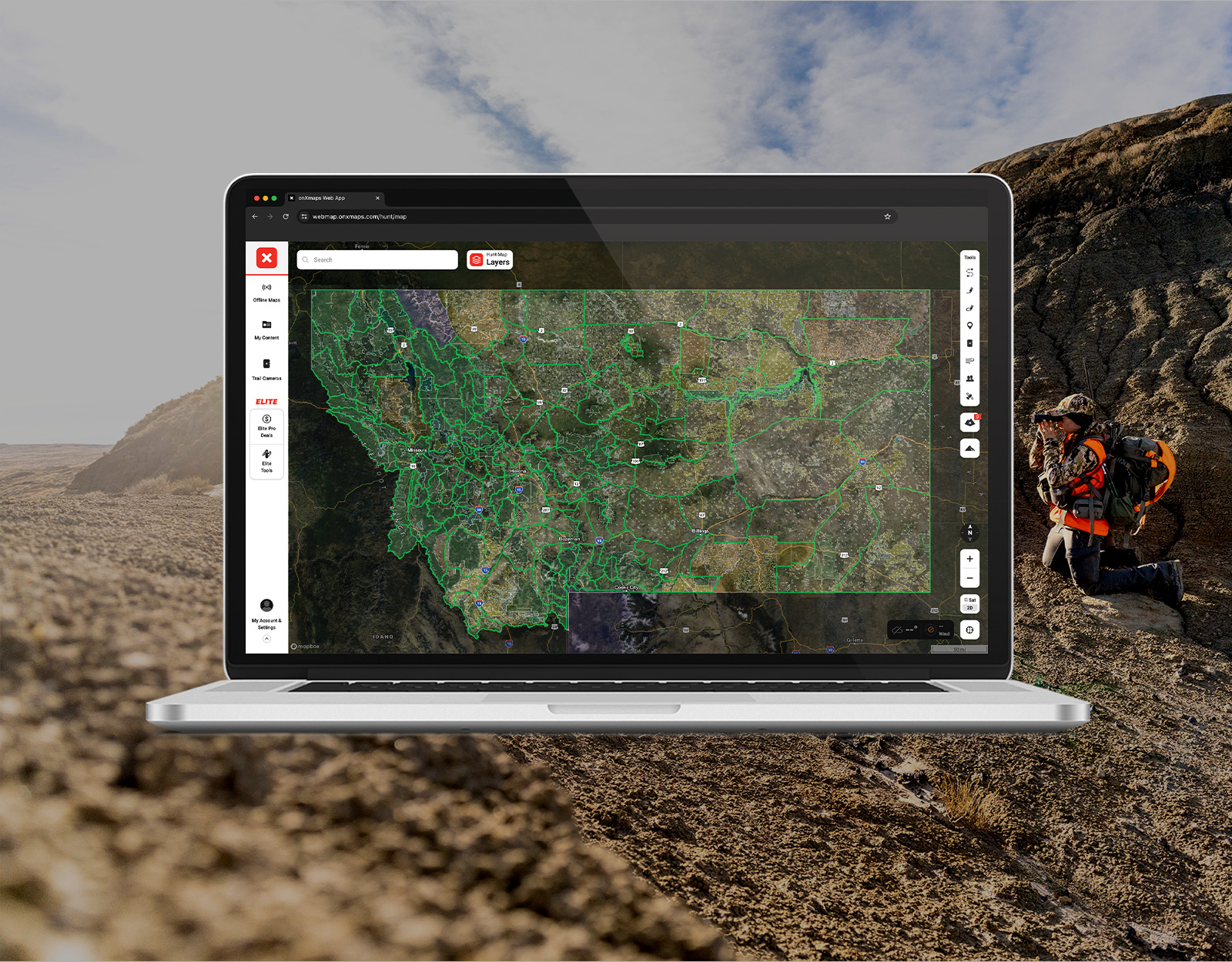
Whether you’re chasing a once-in-a-lifetime hunt or just looking to fill the freezer, your season starts with onX Hunt’s application tools—all included with an Elite Membership:
- Hunt Research Tools: Draw odds, tag trends, and harvest stats for 11 western states (Washington is not yet available) to help you decide where to apply.
- Huntin’ Fool: In-depth insights to navigate state-specific systems and build better strategies.
- HuntReminder: Text and email alerts so you never miss a deadline.
One membership, every tool you need to make 2026 the year.

Montana Application Season Dates
2026 MONTANA DRAW DEADLINES
Deer and Elk
Black Bear Limited Entry for Units 510 and 520
Moose, Goat, Sheep, and Bison
Antelope
Alternate List Signup
Super Tags
Bonus Points
Preference Points
Huntin’ Fool’s Montana page and HuntReminder’s Montana page are also resources for understanding data and deadlines.
Montana Application Season Cost Overview
Non-resident Montana draw fees:
- Base hunting license: $50
- Conservation license: $10
- Non-refundable application fee: $5 (moose, sheep, goat, and bison are $50)
- If bowhunting, you need to complete bowhunter education (or have a prior year’s bowhunting license from another state) and buy a $10 bow and arrow license.
- Combo licences (can only apply for one)
- General deer combo: $760
- General elk combo: $1,112
- General big game (deer and elk) combo: $1,312
Review the full list of species fees.
Montana resident draw fees:
- Base hunting license: $10
- Conservation license: $8
- Non-refundable application fee: $5 (moose, sheep, goat, and bison are $10)
- If bowhunting, you need to complete bowhunter education (or have a prior year’s bowhunting license from another state) and buy a $10 bow and arrow license.
- Review the full list of species fees.
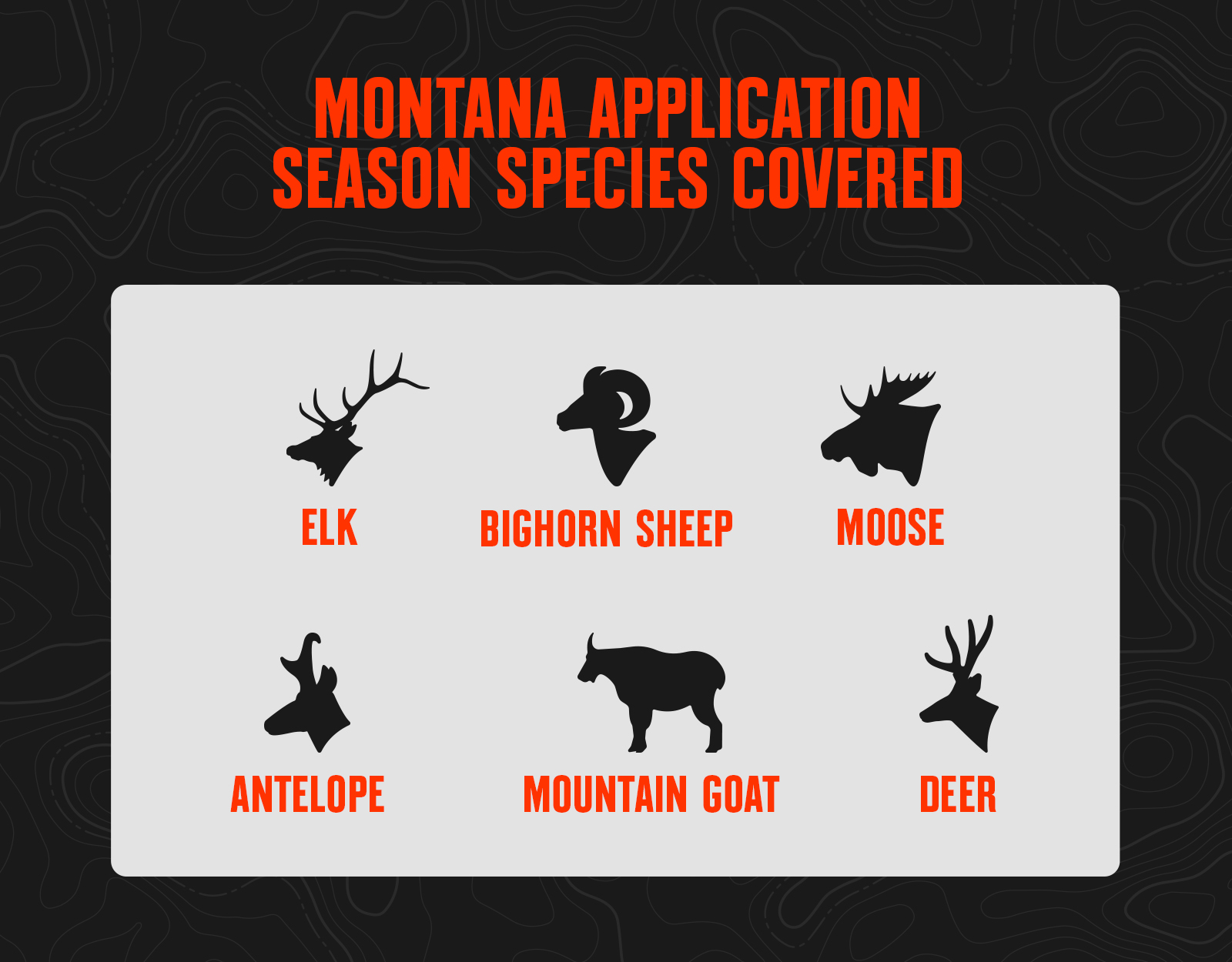
Montana Application Season Species
Montana Draw Process
Point System
- For elk and deer, Montana has two primary license types that each use a different point system.
- There are General Deer, General Elk, and General Deer/Elk combo licenses, commonly referred to as General tags.
- You need a General tag to hunt elk or deer in Montana.
- For non-residents, the General tag drawing uses a Preference Point system.
- Residents can buy a General tag over the counter.
- For elk and deer, non-residents can draw big game “combo” tags every two to three years, and are over the counter for residents.
- There are also Permits. Permits are limited entry tags for a specific unit or units. There are elk and deer permits that you can apply for, as well as permits for all other big game species.
- The drawing for Permits in Montana uses an optional Bonus Point system.
- Bonus Points are like raffle tickets; the more you have, the more “chances” you have in the draw.
- You get one chance for your current application, and then your current Bonus Point total is squared and you get that many more chances in the drawing (so with 4 points, you’d get 17 chances, 1 + [4*4]).
- When applying, you will be awarded a Bonus Point for that species if you paid the optional Bonus Point fee at the time of your application.
- Or, you can also choose to buy a Bonus Point Only each year during a separate application period to accumulate Bonus Points.
- If you draw your first choice on a limited-entry permit application, your Bonus Point total will be purged to zero for that species.
Tag Allocation
- For limited entry elk, deer, and antelope permits, up to 10% of the total tags for each hunt code can be issued to non-residents.
- For moose, bighorn sheep, and mountain goats, up to 10% of the total tags in each respective region can be issued to non-residents.
- Residents and non-residents are all in the same random drawing, where each applicant’s Bonus Point total is applied when determining your total number of “chances.”
- Once the 10% non-resident quota max is hit, no further non-resident tags will be issued for that hunt code or region.
Montana Draw Resources
- Log Into Hunt Research Tools To Start Your Application Season.
- View Montana Hunting Regulations.
- Apply for Your Montana Hunting Tags.
- Read About Montana Hunting Access.
- Read Montana Hunting News and Updates.
Montana Draw Tips
- If you’re new to applying in Montana and a non-resident, be aware that 25% of all big game combo tags are issued to applicants with no preference points. Participating in the preference point system is optional, and at present, applicants with zero points actually have better drawing odds than those applicants with one point.
- Montana’s application process can be easily misunderstood. If you’re new to it, call Montana Fish, Wildlife, & Parks to make sure you understand the process. Don’t wait; do it early in the application period to avoid the last-minute rush. The 2026 application period for elk and deer begins March 1, 2026, and ends April 1, 2026.
- Bighorn sheep, moose, and mountain goat tags are difficult to draw anywhere. Consider steering clear of the hardest-to-draw hunts and focus on the lower two-thirds if you want to increase your chances of drawing in your lifetime. It may not seem like a big difference between .10% odds and .05% odds, but that’s actually one in 1000 against one in 2000. If you’re late to the game in accumulating bonus points, you’ll need all the luck you can get to overcome the odds.
- Eastern Montana contains a lot of private land. Research public land access before deciding where to hunt/apply. Also, western Montana is home to grizzly bears and wolves. Be bear aware and understand the impact wolves might have on local big game habits and tendencies.