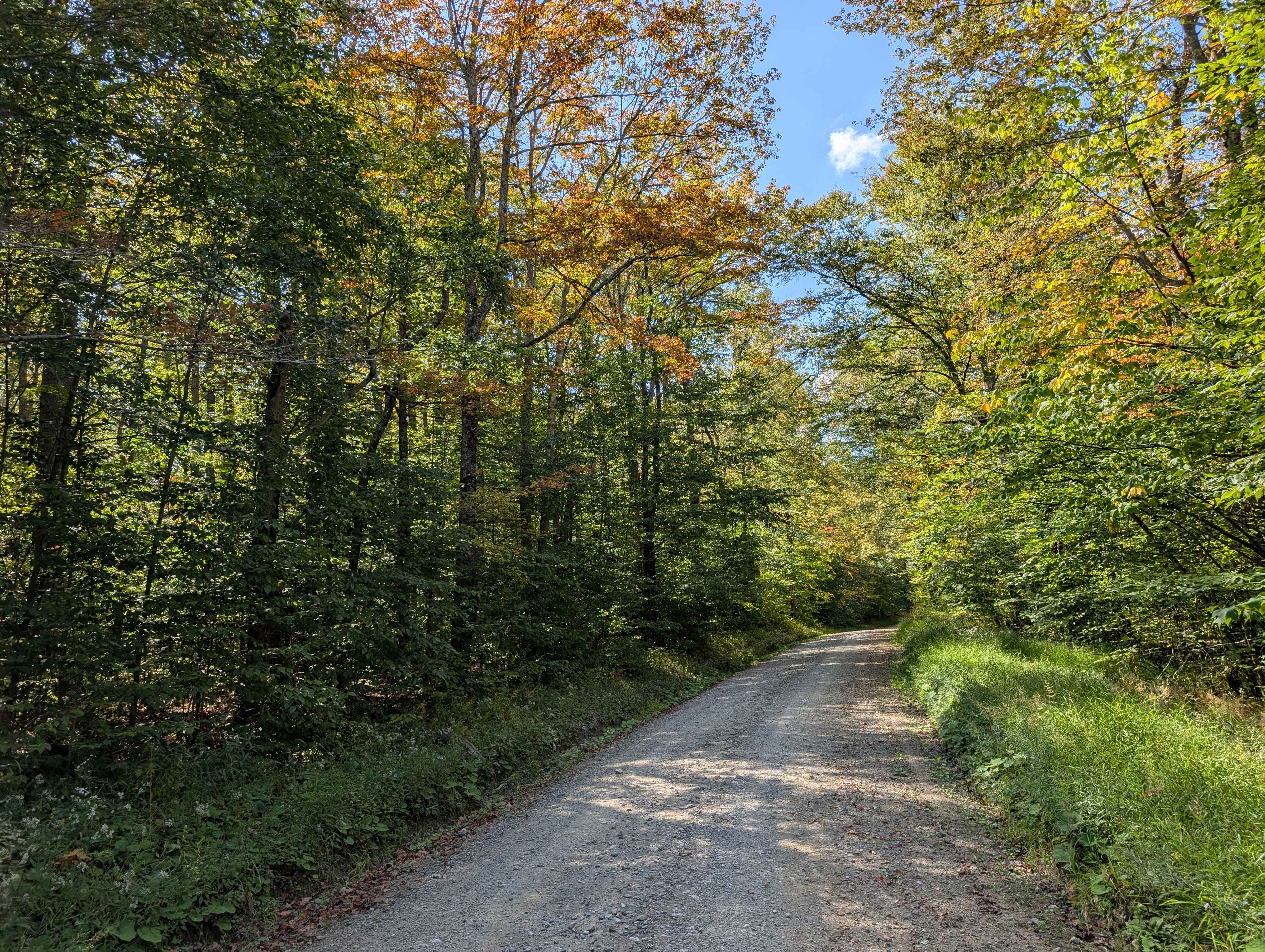
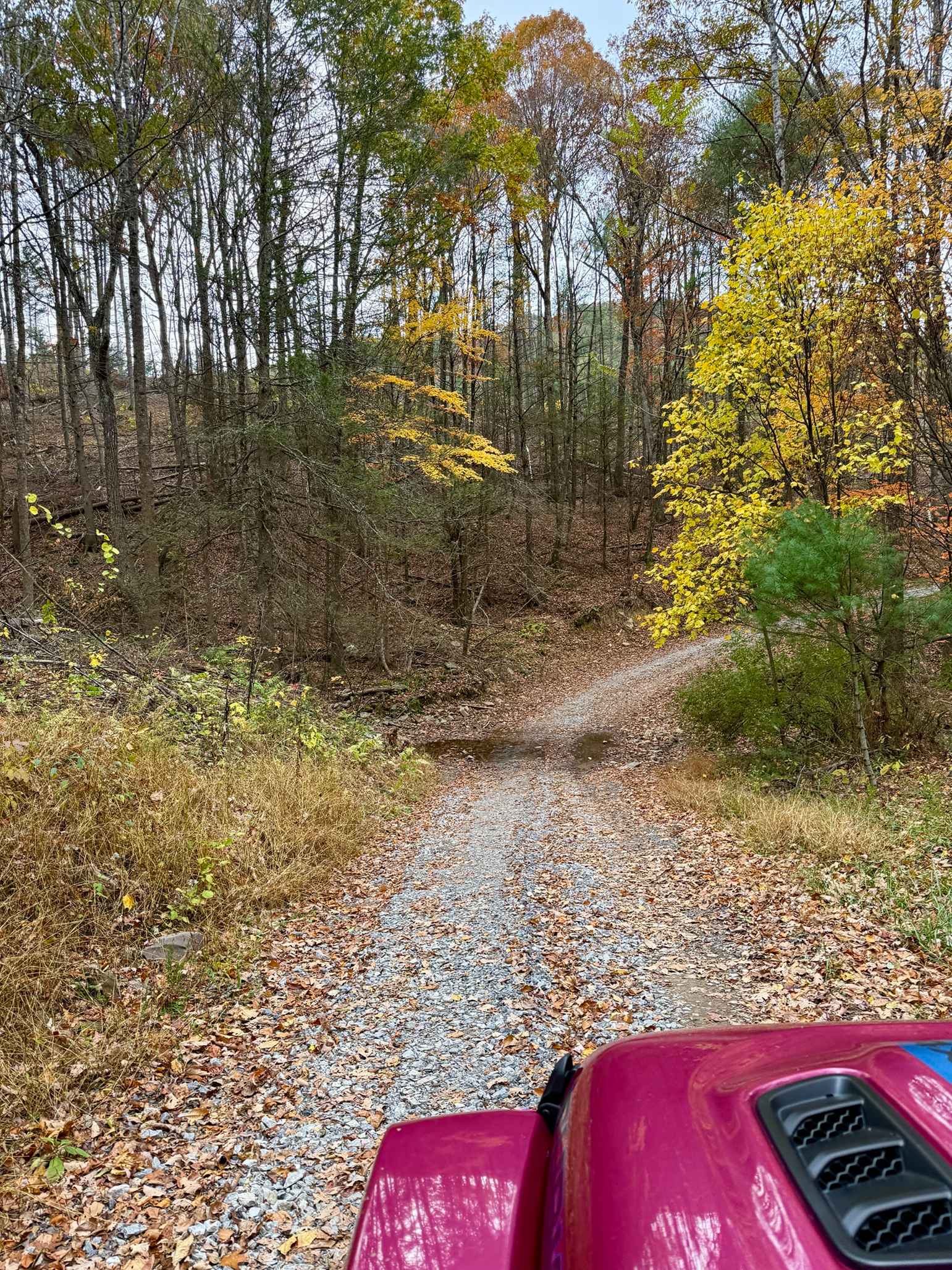
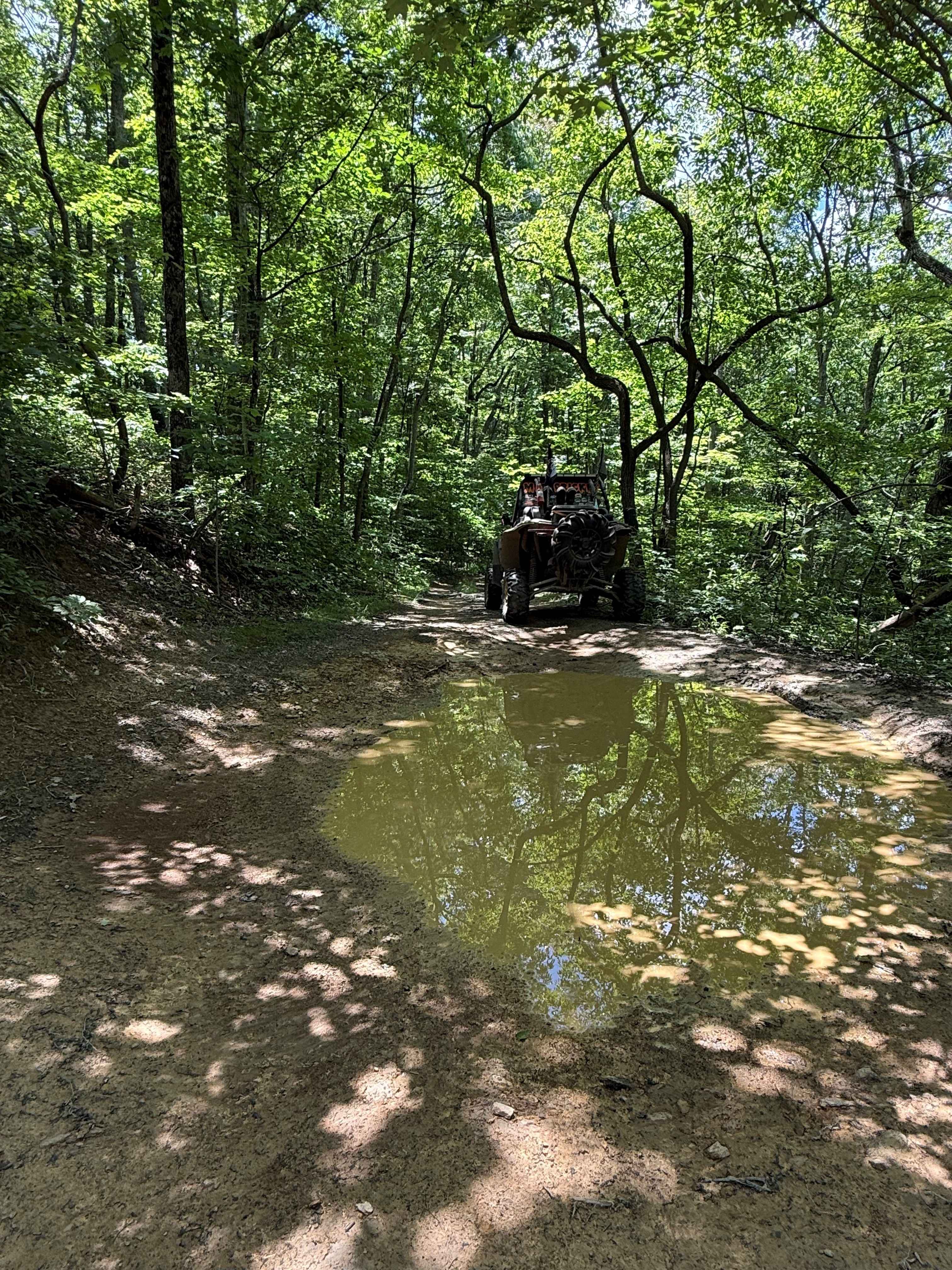
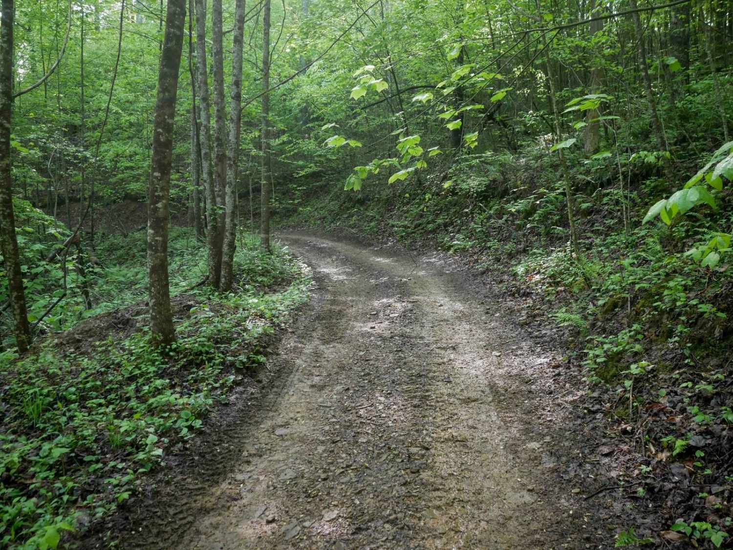
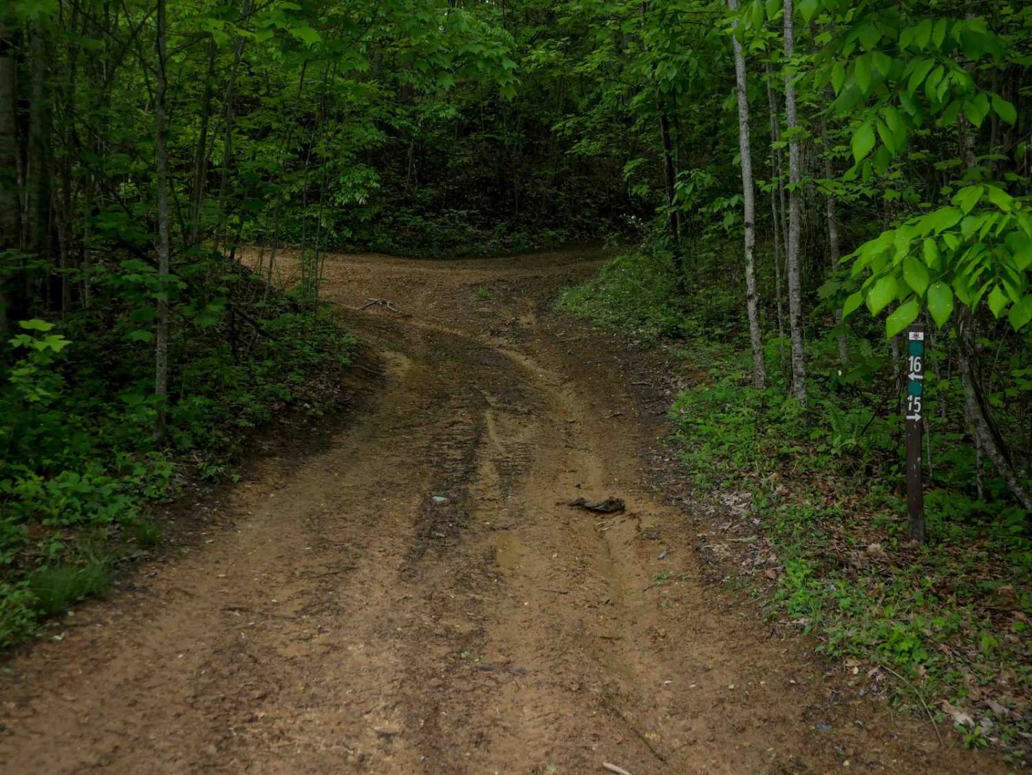
Off-Road Trails in West Virginia
Discover off-road trails in West Virginia
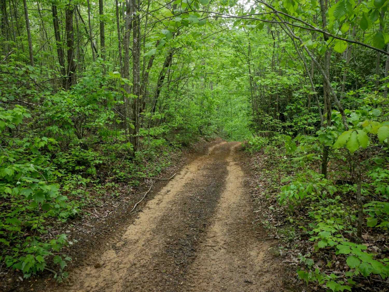
Learn more about McGowen Mountain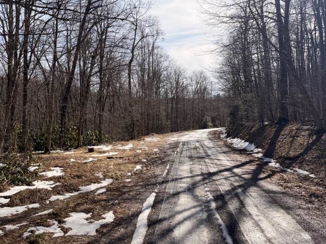
McGowen Mountain
Total Miles
6.6
Tech Rating
Easy
Best Time
Spring, Summer, Fall, Winter
Learn more about Meadow & Gauley Rivers Access Trail
Meadow & Gauley Rivers Access Trail
Total Miles
18.2
Tech Rating
Easy
Best Time
Spring, Summer, Fall
Learn more about Meadow/Gauley Access Trail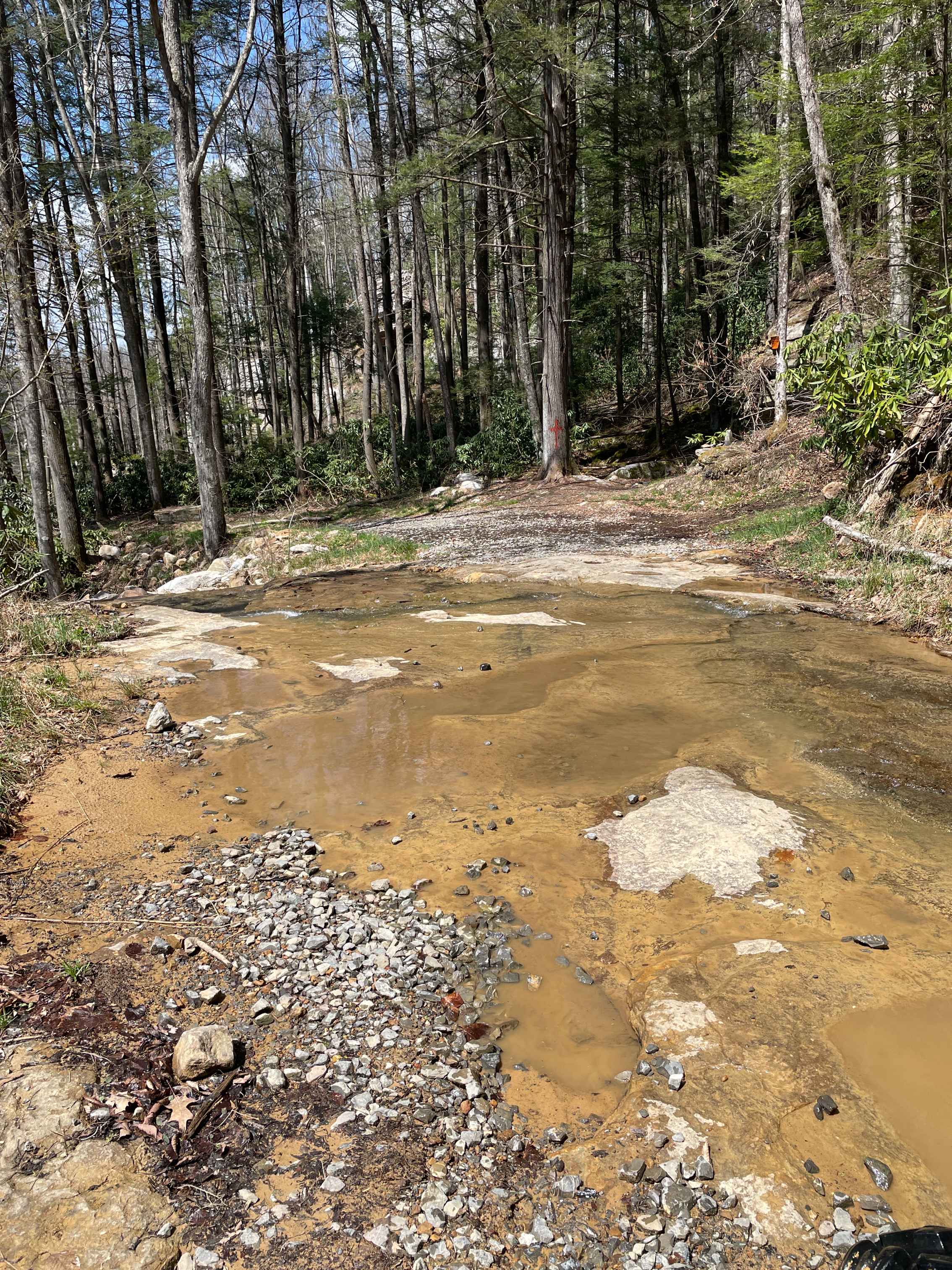
Meadow/Gauley Access Trail
Total Miles
1.7
Tech Rating
Moderate
Best Time
Spring, Summer, Fall
Learn more about Monday Lick Rd (FS1002)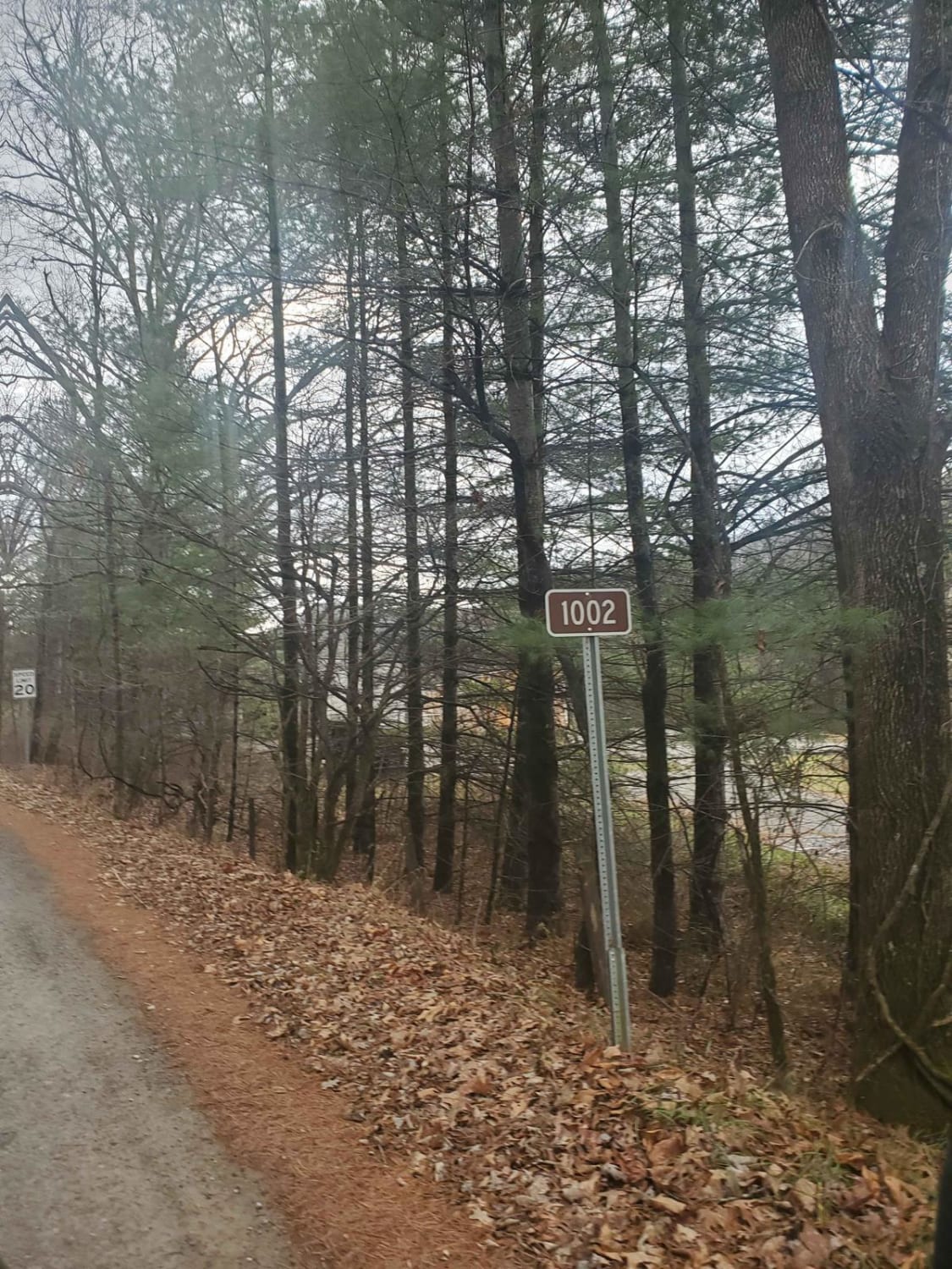
Monday Lick Rd (FS1002)
Total Miles
6.1
Tech Rating
Easy
Best Time
Summer, Fall, Spring, Winter
Learn more about N/29 Green
N/29 Green
Total Miles
0.5
Tech Rating
Easy
Best Time
Spring, Summer, Winter, Fall
Learn more about Nettie to Richwood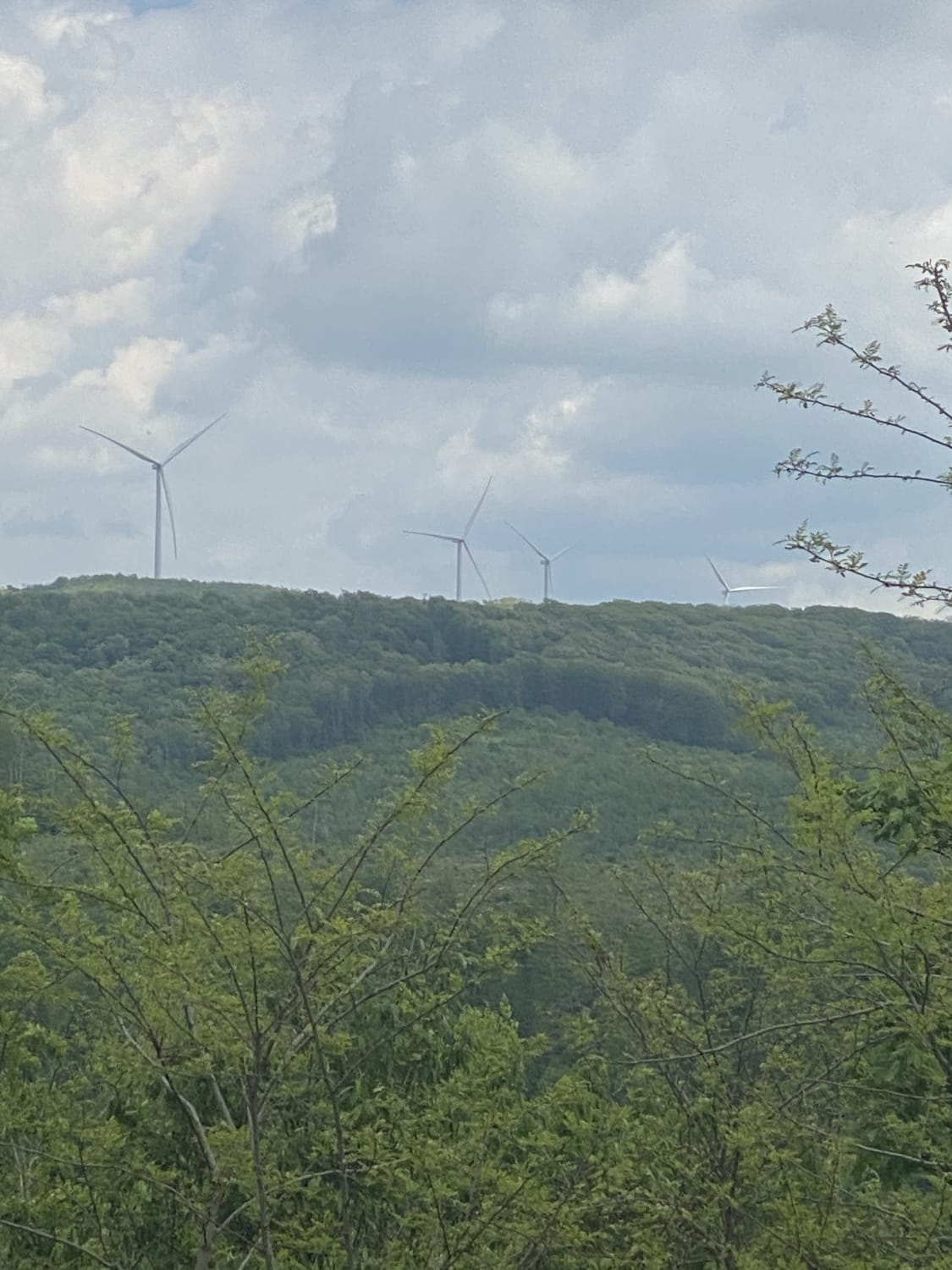
Nettie to Richwood
Total Miles
36.9
Tech Rating
Easy
Best Time
Spring, Summer, Fall, Winter
Learn more about New River Gorge
New River Gorge
Total Miles
14.8
Tech Rating
Moderate
Best Time
Spring, Summer, Fall, Winter
Learn more about Nile Road to Gauley River
Nile Road to Gauley River
Total Miles
1.3
Tech Rating
Easy
Best Time
Spring, Summer, Fall, Winter
Learn more about Office and Camping
Office and Camping
Total Miles
1.1
Tech Rating
Easy
Best Time
Spring, Summer, Fall, Winter
Learn more about Old Mine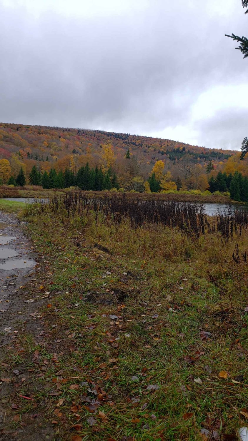
Old Mine
Total Miles
14.0
Tech Rating
Easy
Best Time
Spring, Summer, Fall, Winter


ATV trails in West Virginia


Learn more about 13 Connector
13 Connector
Total Miles
0.3
Tech Rating
Easy
Best Time
Fall, Spring, Summer, Winter

UTV/side-by-side trails in West Virginia
Learn more about 13 Connector
13 Connector
Total Miles
0.3
Tech Rating
Easy
Best Time
Fall, Spring, Summer, Winter
The onX Offroad Difference
onX Offroad combines trail photos, descriptions, difficulty ratings, width restrictions, seasonality, and more in a user-friendly interface. Available on all devices, with offline access and full compatibility with CarPlay and Android Auto. Discover what you’re missing today!