Old Mine
Total Miles
14.0
Technical Rating
Best Time
Spring, Summer, Fall, Winter
Trail Type
Full-Width Road
Accessible By
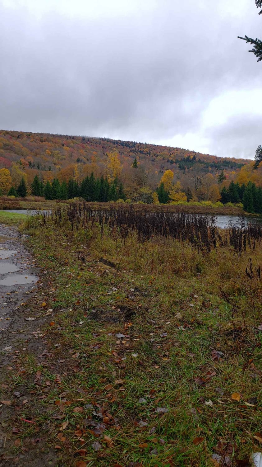
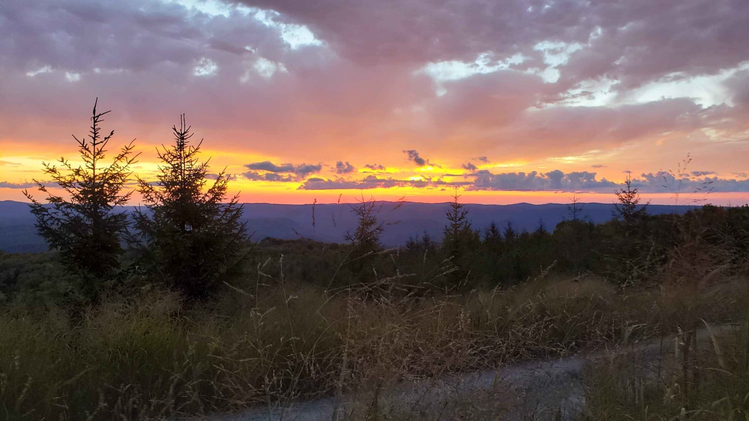
Trail Overview
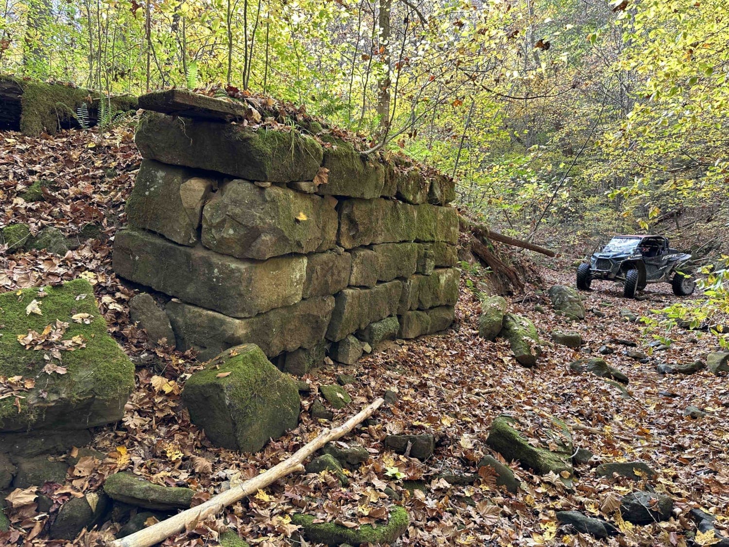
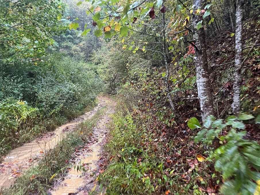
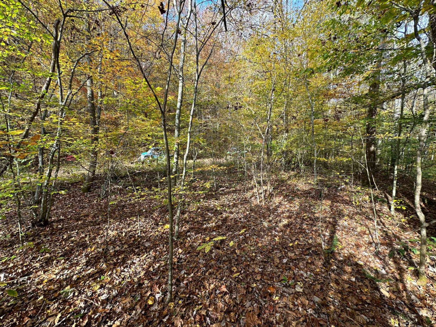
This is a maintained gravel Forest Service route that travels from the Cheat Bridge area to US 250. This section was once a large strip. It passes along the Cheat River and then up in elevation with scenic views. The road is mostly maintained gravel with some mud and rocky areas. Several sediment ponds are left over from the mining era, with many dispersed camping areas located along the route. There is no cell service in this area.
Photos of Old Mine
Difficulty
This route is mostly maintained gravel with areas of erosion.
Status Reports
Old Mine can be accessed by the following ride types:
- High-Clearance 4x4
- SUV
Old Mine Map
Popular Trails

The onX Offroad Difference
onX Offroad combines trail photos, descriptions, difficulty ratings, width restrictions, seasonality, and more in a user-friendly interface. Available on all devices, with offline access and full compatibility with CarPlay and Android Auto. Discover what you’re missing today!