OP 12
Total Miles
0.7
Technical Rating
Best Time
Spring, Fall, Summer, Winter
Trail Type
60" Trail
Accessible By
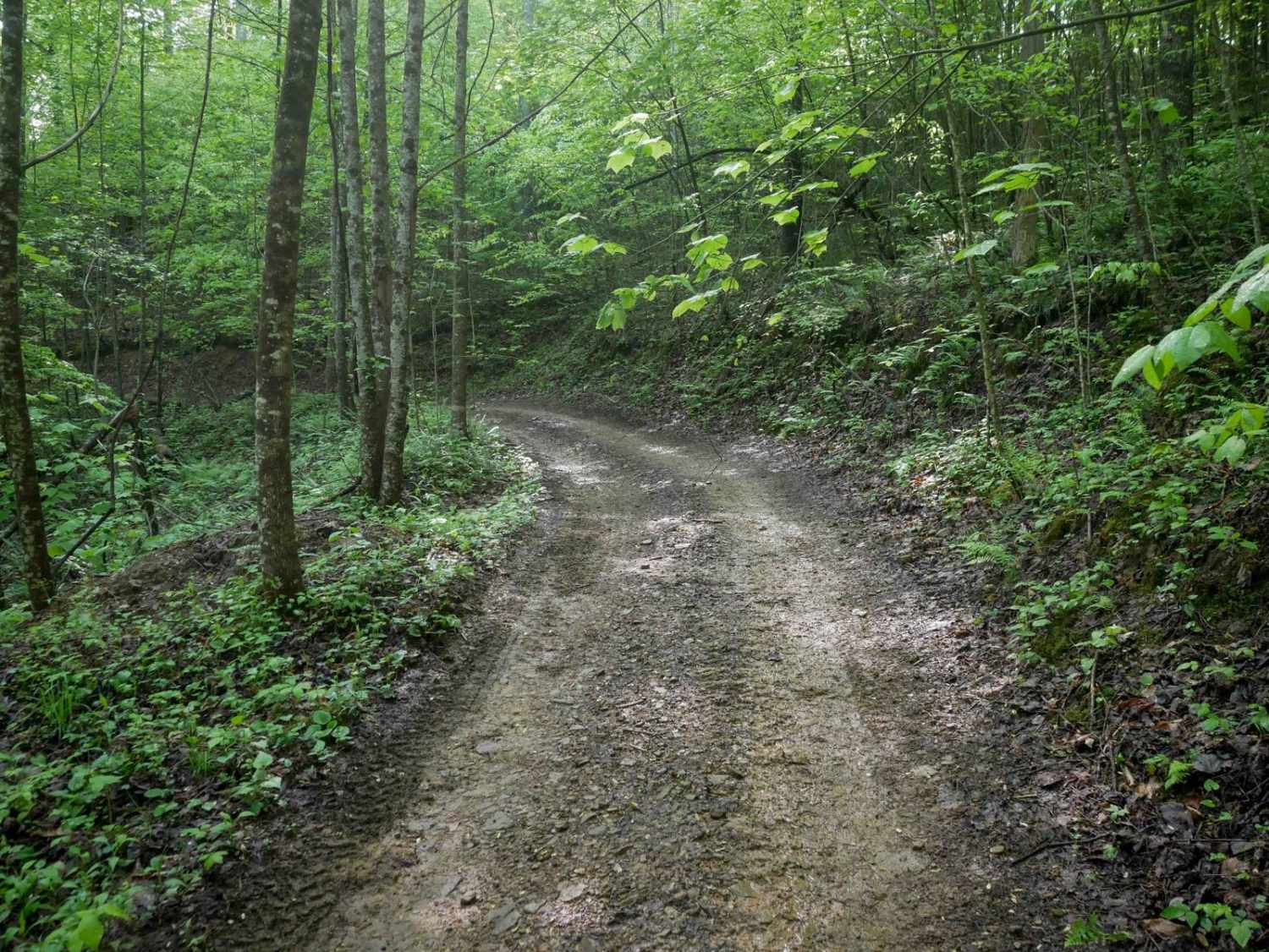
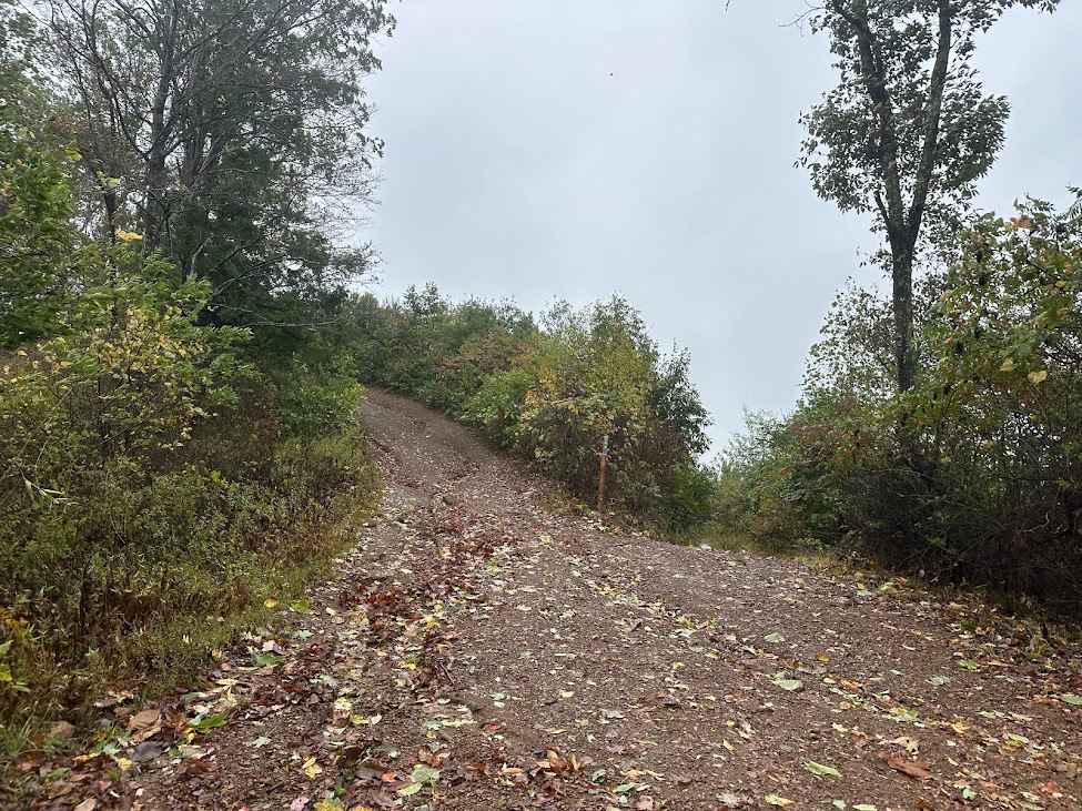
Trail Overview
The north end of OP 12 is a continuation from OP 43. It traverses a scenic forest with a dense leaf canopy along a shelf path cut into the hillside. The trail features small climbs and descents with numerous curvy sections. The surface includes muddy ruts and areas with loose rock, narrowing to a one-lane-wide shelf before ending at OP 15.
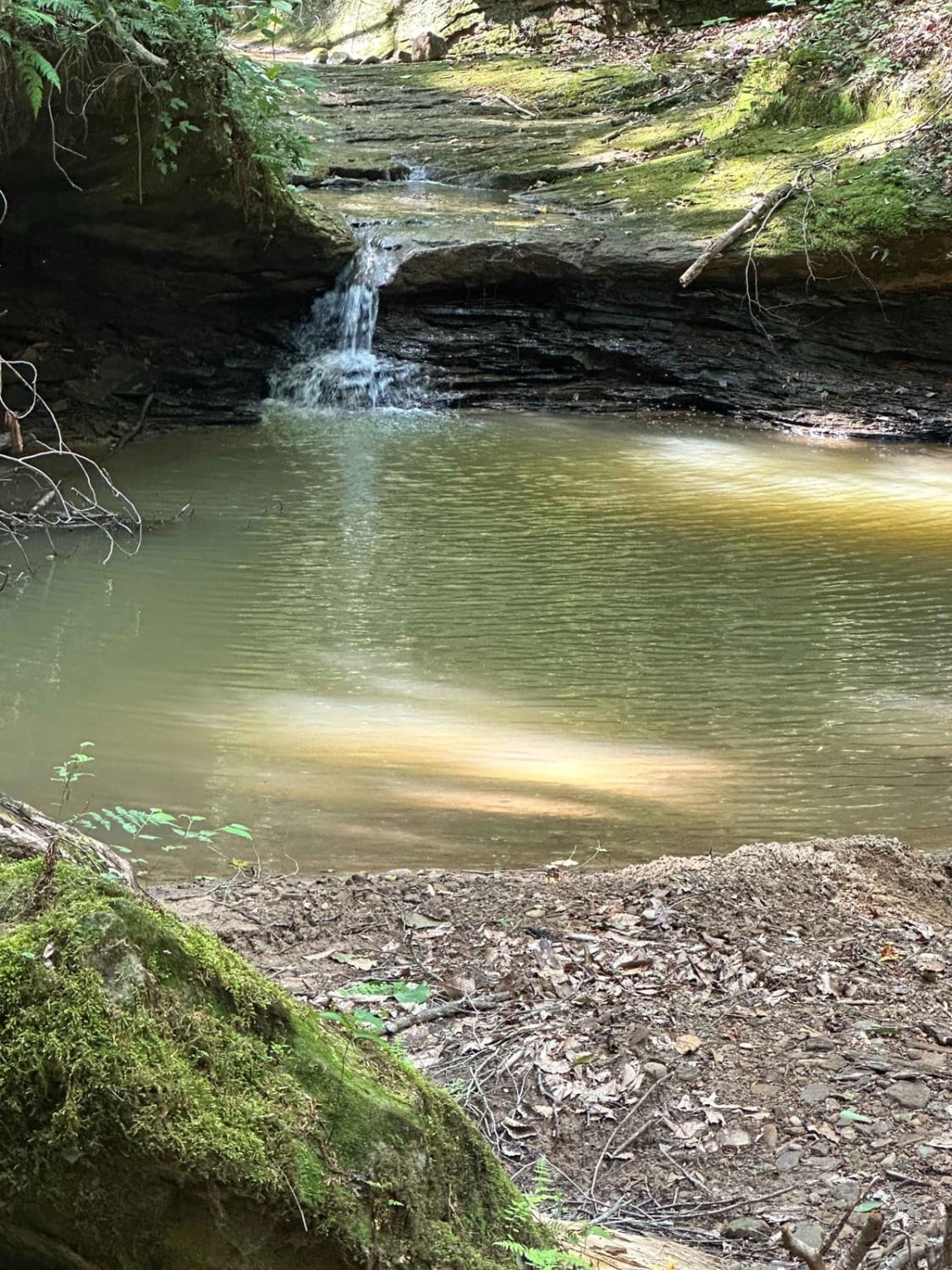
Photos of OP 12

Difficulty
This is an easy route with no obstacles, ideal for all skill levels.
Status Reports
OP 12 can be accessed by the following ride types:
- SxS (60")
- ATV (50")
- Dirt Bike
OP 12 Map
Popular Trails


The onX Offroad Difference
onX Offroad combines trail photos, descriptions, difficulty ratings, width restrictions, seasonality, and more in a user-friendly interface. Available on all devices, with offline access and full compatibility with CarPlay and Android Auto. Discover what you’re missing today!