Off-Road Trails in Michigan
Discover off-road trails in Michigan
Learn more about Carl Spur B - FS 3022B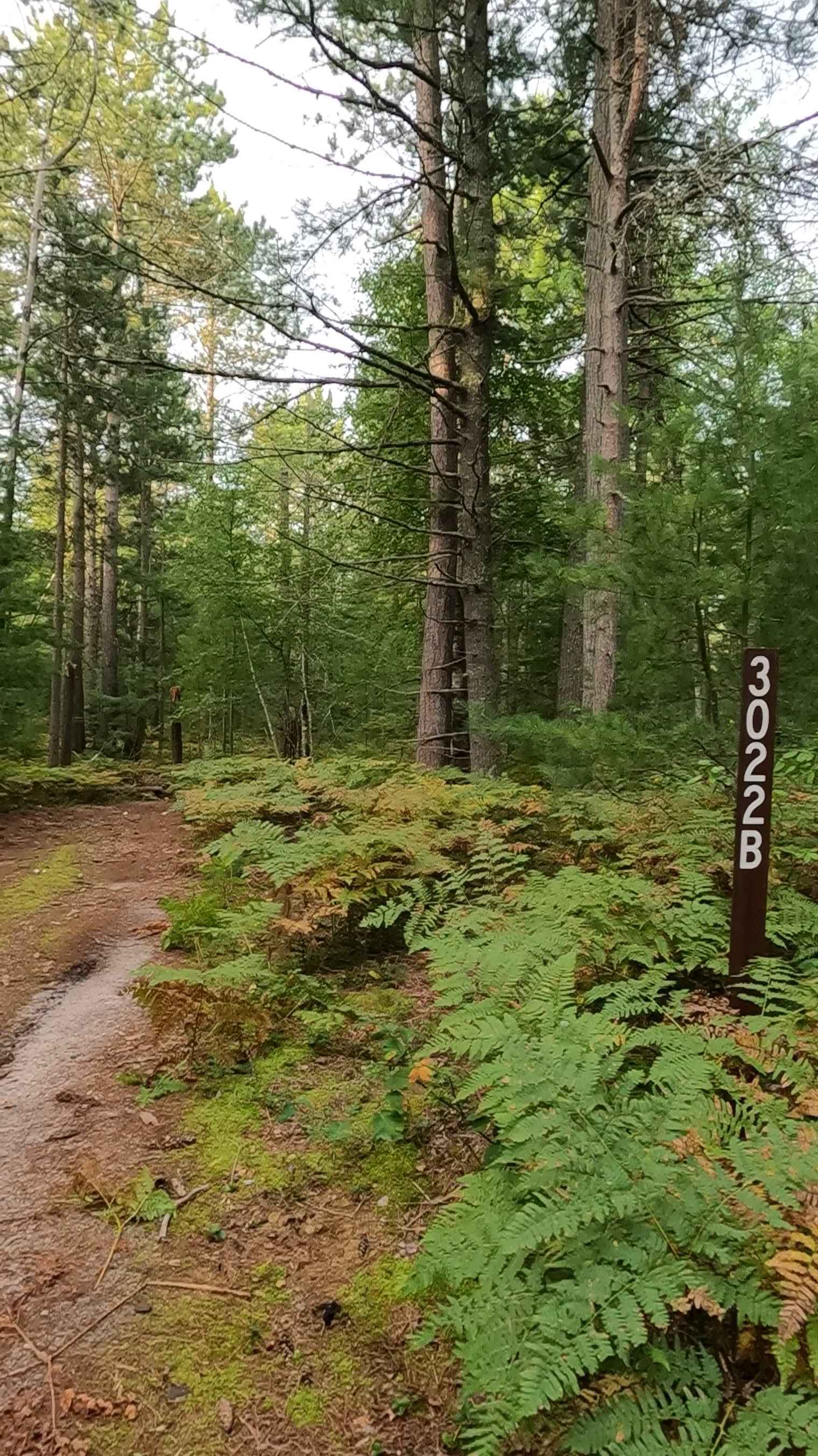
Carl Spur B - FS 3022B
Total Miles
1.2
Tech Rating
Easy
Best Time
Spring, Summer, Fall
Learn more about Carlson Camp
Carlson Camp
Total Miles
20.5
Tech Rating
Easy
Best Time
Spring, Summer, Fall
Learn more about Carney Lake Road
Carney Lake Road
Total Miles
4.5
Tech Rating
Easy
Best Time
Spring, Fall, Summer
Learn more about Carp Haul - FS 3386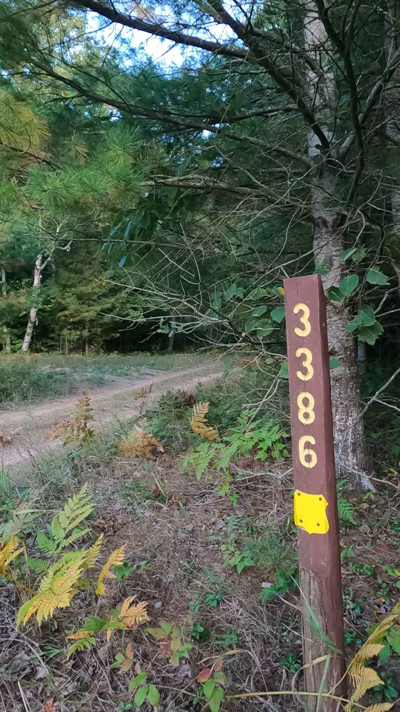
Carp Haul - FS 3386
Total Miles
0.6
Tech Rating
Easy
Best Time
Spring, Summer, Fall
Learn more about Carp River Boat Landing Road - FS 3127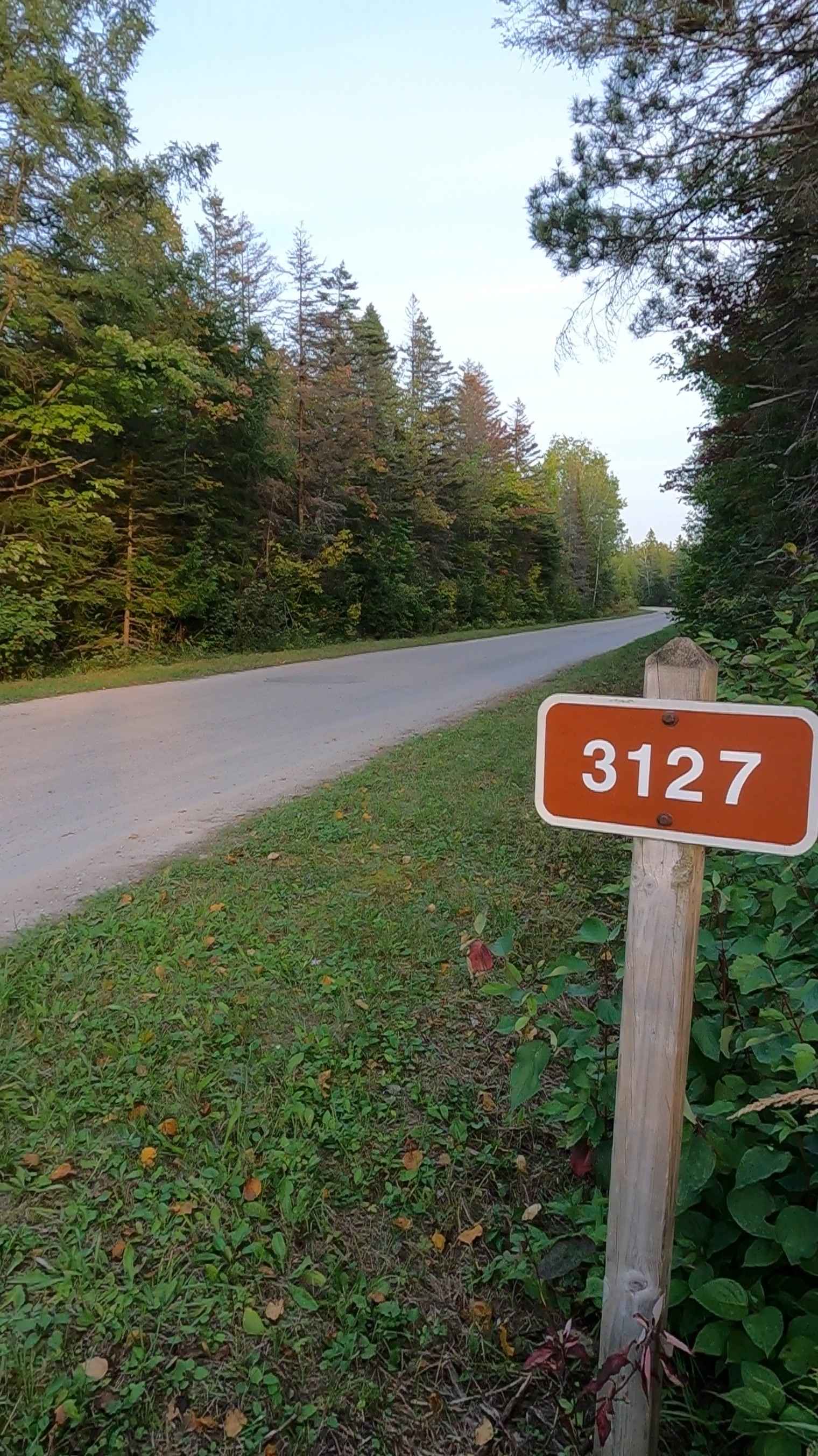
Carp River Boat Landing Road - FS 3127
Total Miles
1.6
Tech Rating
Easy
Best Time
Spring, Summer, Fall
Learn more about Carp River Road - FS 3308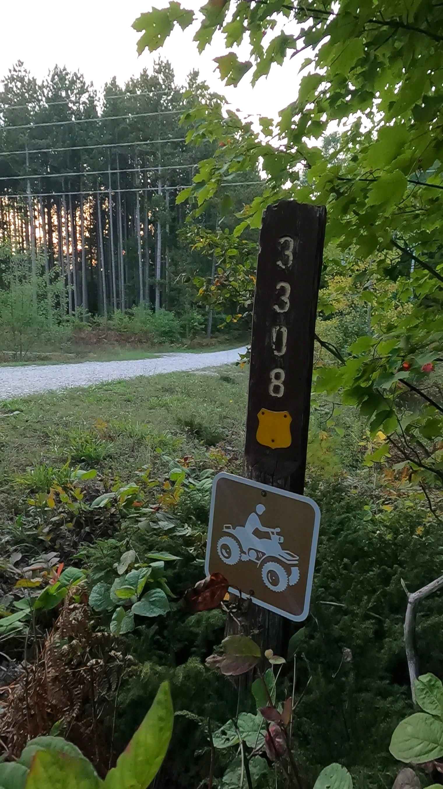
Carp River Road - FS 3308
Total Miles
2.2
Tech Rating
Easy
Best Time
Spring, Summer, Fall
Learn more about Carpenter Road Loop
Carpenter Road Loop
Total Miles
0.8
Tech Rating
Easy
Best Time
Spring, Summer, Fall
Learn more about Cascade Road
Cascade Road
Total Miles
3.1
Tech Rating
Easy
Best Time
Spring, Summer, Fall, Winter
Learn more about Castle Rock to Round Lake
Castle Rock to Round Lake
Total Miles
10.3
Tech Rating
Easy
Best Time
Fall, Summer, Spring
Learn more about Cataract Road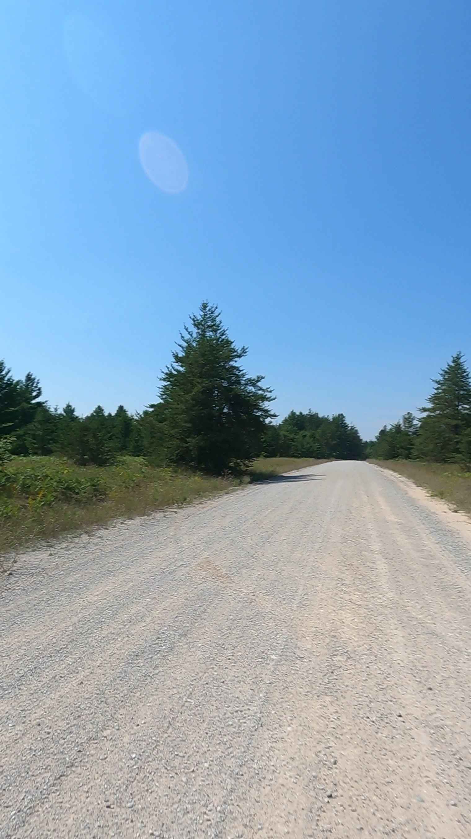
Cataract Road
Total Miles
1.7
Tech Rating
Easy
Best Time
Spring, Summer, Fall
Learn more about Catwalk Bypass and Rock Crawl
Catwalk Bypass and Rock Crawl
Total Miles
0.2
Tech Rating
Easy
Best Time
Spring, Fall, Summer
Learn more about Cedar Creek Motorsport Trail (North Loop)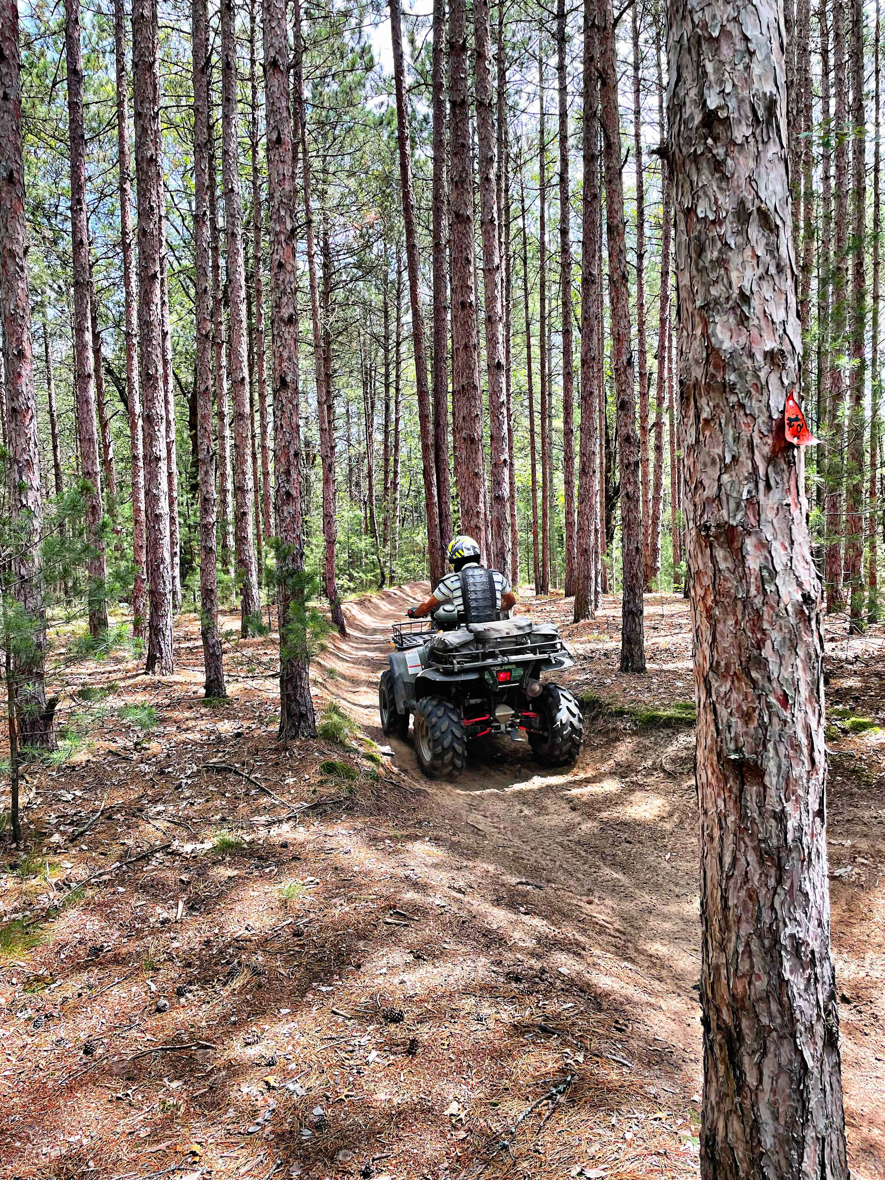
Cedar Creek Motorsport Trail (North Loop)
Total Miles
9.5
Tech Rating
Easy
Best Time
Spring, Summer, Fall
Learn more about Cedar Creek Motorsport Trail (South Loop)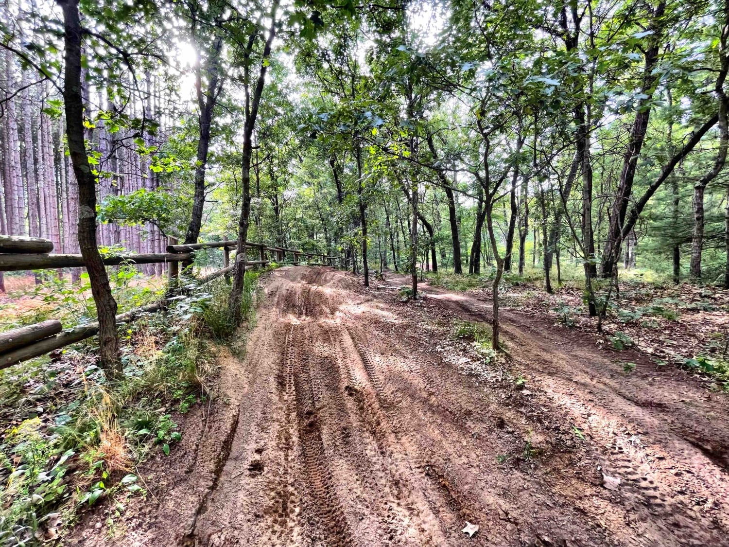
Cedar Creek Motorsport Trail (South Loop)
Total Miles
12.9
Tech Rating
Easy
Best Time
Spring, Summer, Fall
Learn more about Cedar Creek Rd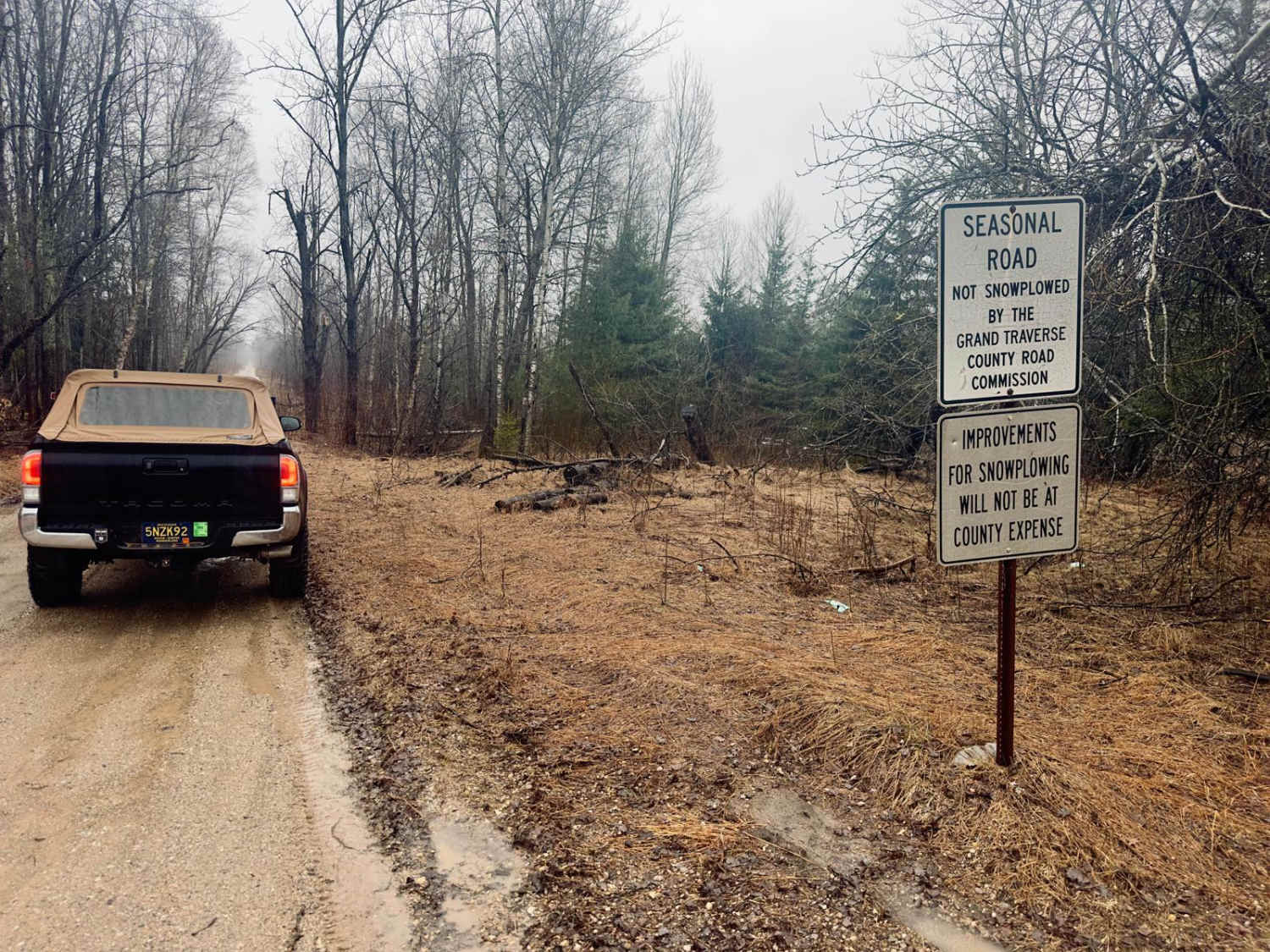
Cedar Creek Rd
Total Miles
4.0
Tech Rating
Easy
Best Time
Spring, Summer, Fall, Winter
Learn more about Cedar Lake Trail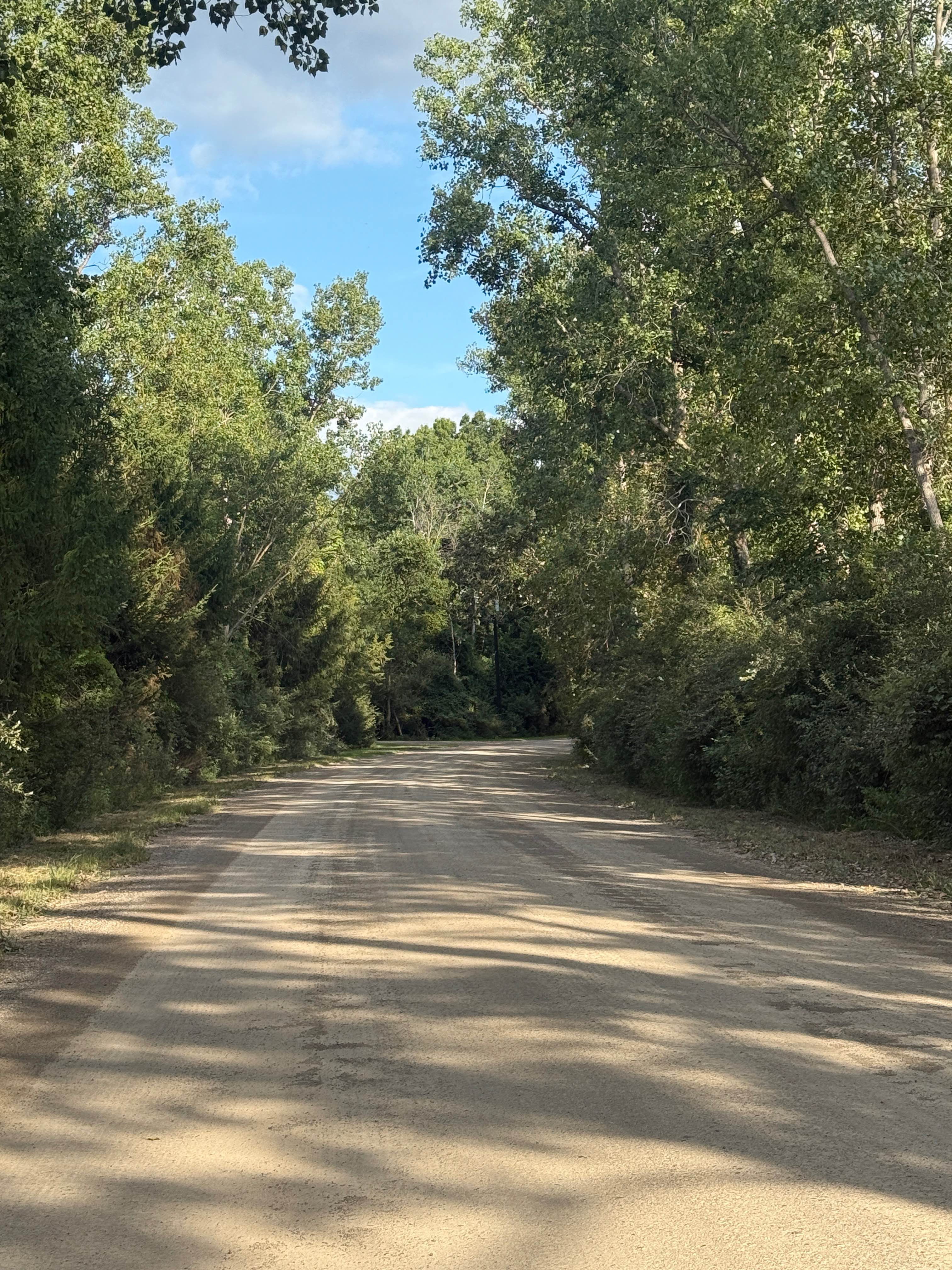
Cedar Lake Trail
Total Miles
8.1
Tech Rating
Easy
Best Time
Spring, Summer, Fall, Winter
Learn more about Cedar River Run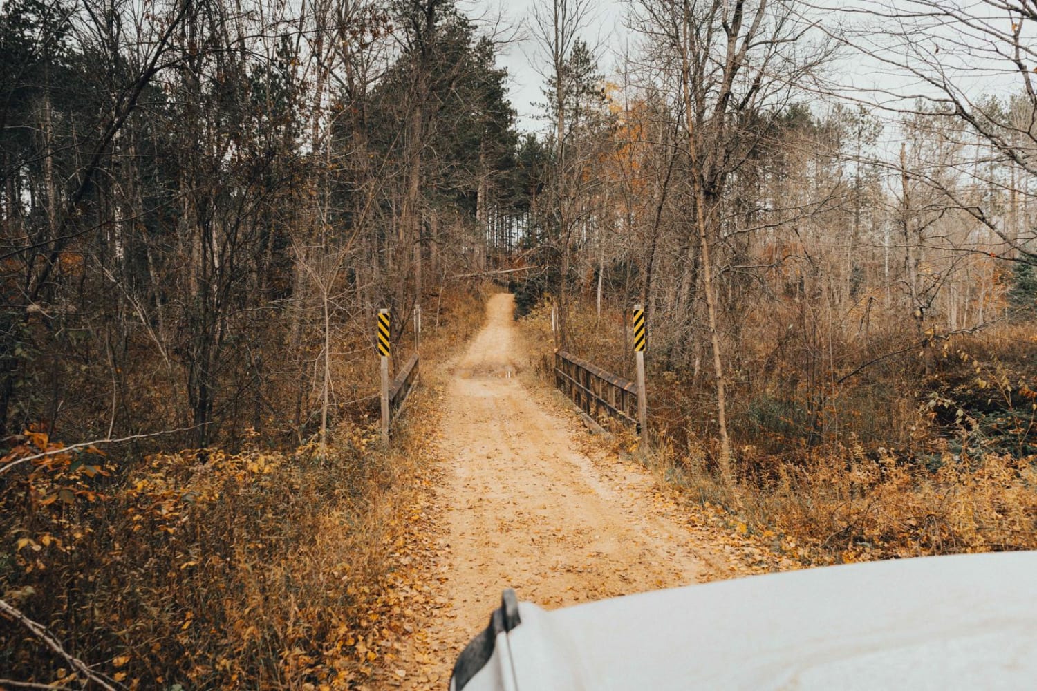
Cedar River Run
Total Miles
13.0
Tech Rating
Easy
Best Time
Spring, Summer, Fall, Winter
Learn more about Cedar River Side Spur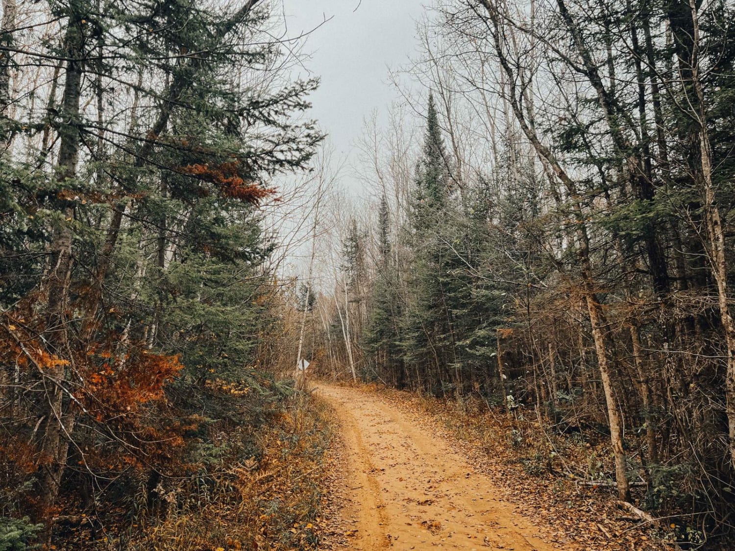
Cedar River Side Spur
Total Miles
4.4
Tech Rating
Easy
Best Time
Spring, Summer, Fall, Winter
Learn more about Cemetery Trail (Pere Cheney Ghost Town)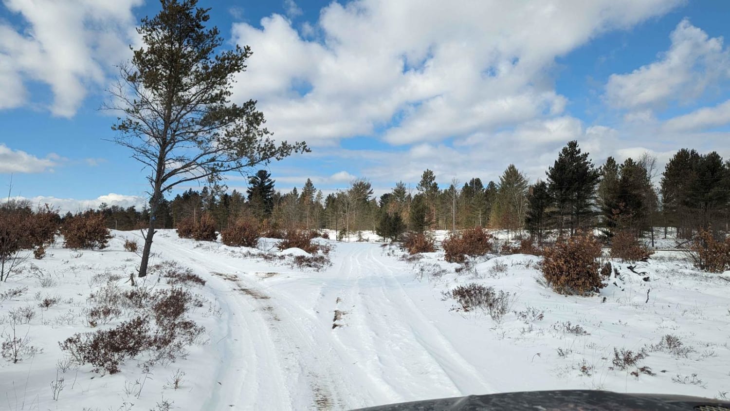
Cemetery Trail (Pere Cheney Ghost Town)
Total Miles
3.9
Tech Rating
Easy
Best Time
Winter, Fall, Summer, Spring
ATV trails in Michigan
Learn more about 1039 Pine Trail
1039 Pine Trail
Total Miles
0.6
Tech Rating
Easy
Best Time
Spring, Summer, Fall, Winter
Learn more about 115th Avenue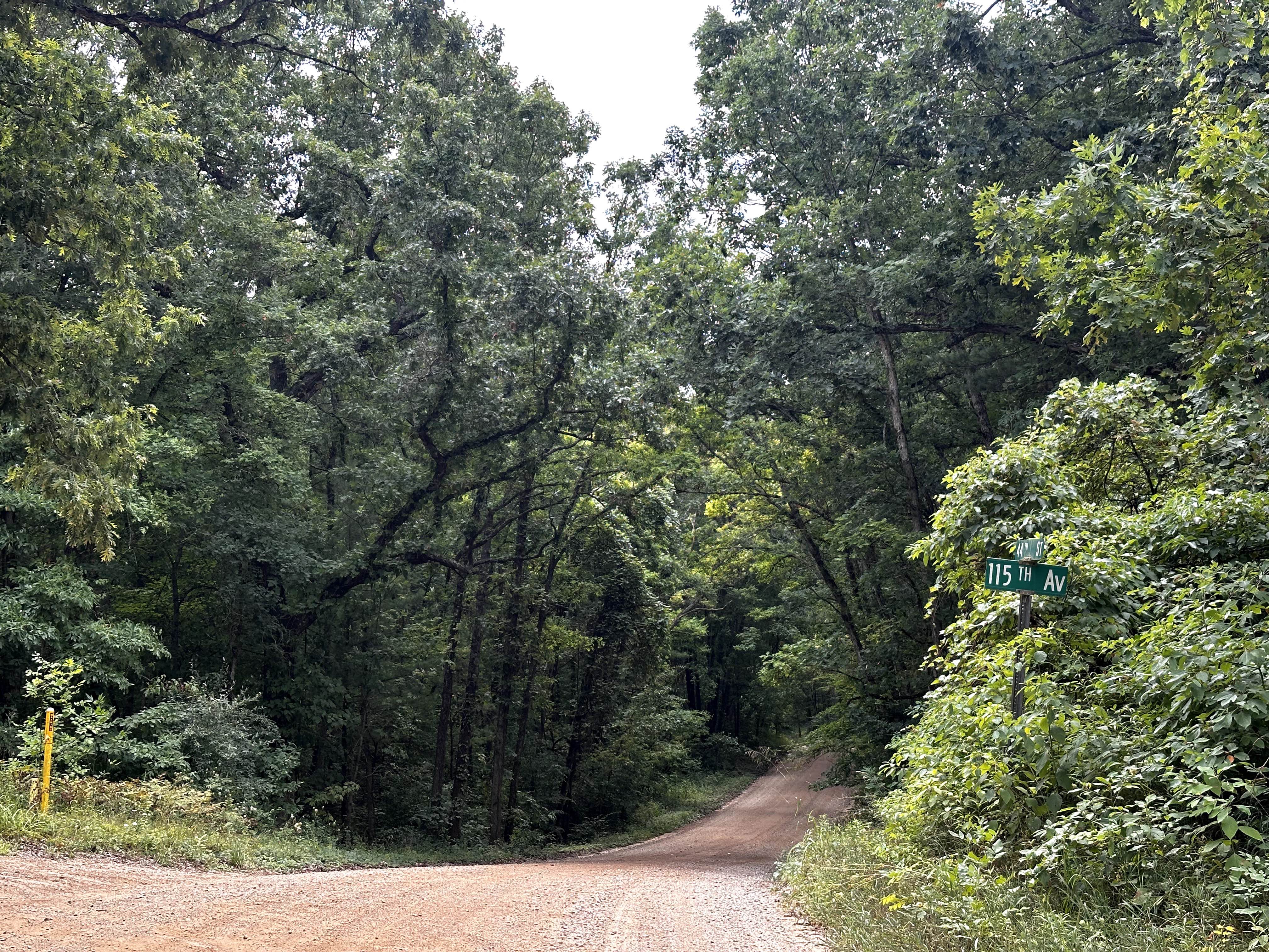
115th Avenue
Total Miles
3.0
Tech Rating
Easy
Best Time
Spring, Summer, Winter, Fall
Learn more about 116th Avenue
116th Avenue
Total Miles
5.0
Tech Rating
Easy
Best Time
Spring, Summer, Fall, Winter
Learn more about 126th Avenue
126th Avenue
Total Miles
3.1
Tech Rating
Easy
Best Time
Spring, Summer, Fall, Winter
UTV/side-by-side trails in Michigan
Learn more about 1039 Pine Trail
1039 Pine Trail
Total Miles
0.6
Tech Rating
Easy
Best Time
Spring, Summer, Fall, Winter
Learn more about 115th Avenue
115th Avenue
Total Miles
3.0
Tech Rating
Easy
Best Time
Spring, Summer, Winter, Fall
Learn more about 116th Avenue
116th Avenue
Total Miles
5.0
Tech Rating
Easy
Best Time
Spring, Summer, Fall, Winter
Learn more about 126th Avenue
126th Avenue
Total Miles
3.1
Tech Rating
Easy
Best Time
Spring, Summer, Fall, Winter
The onX Offroad Difference
onX Offroad combines trail photos, descriptions, difficulty ratings, width restrictions, seasonality, and more in a user-friendly interface. Available on all devices, with offline access and full compatibility with CarPlay and Android Auto. Discover what you’re missing today!