Cedar Creek Rd
Total Miles
4.0
Technical Rating
Best Time
Spring, Summer, Fall, Winter
Trail Type
Full-Width Road
Accessible By
Trail Overview
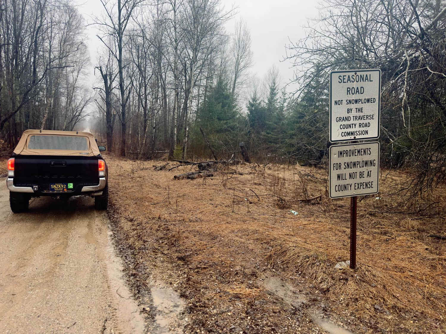
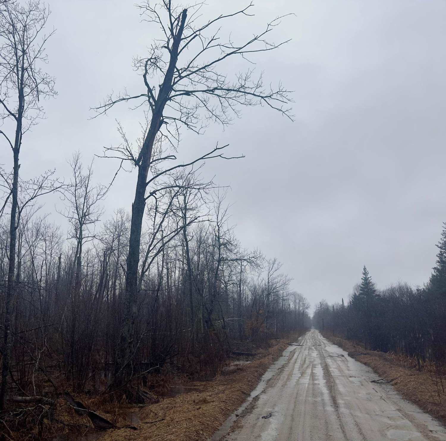
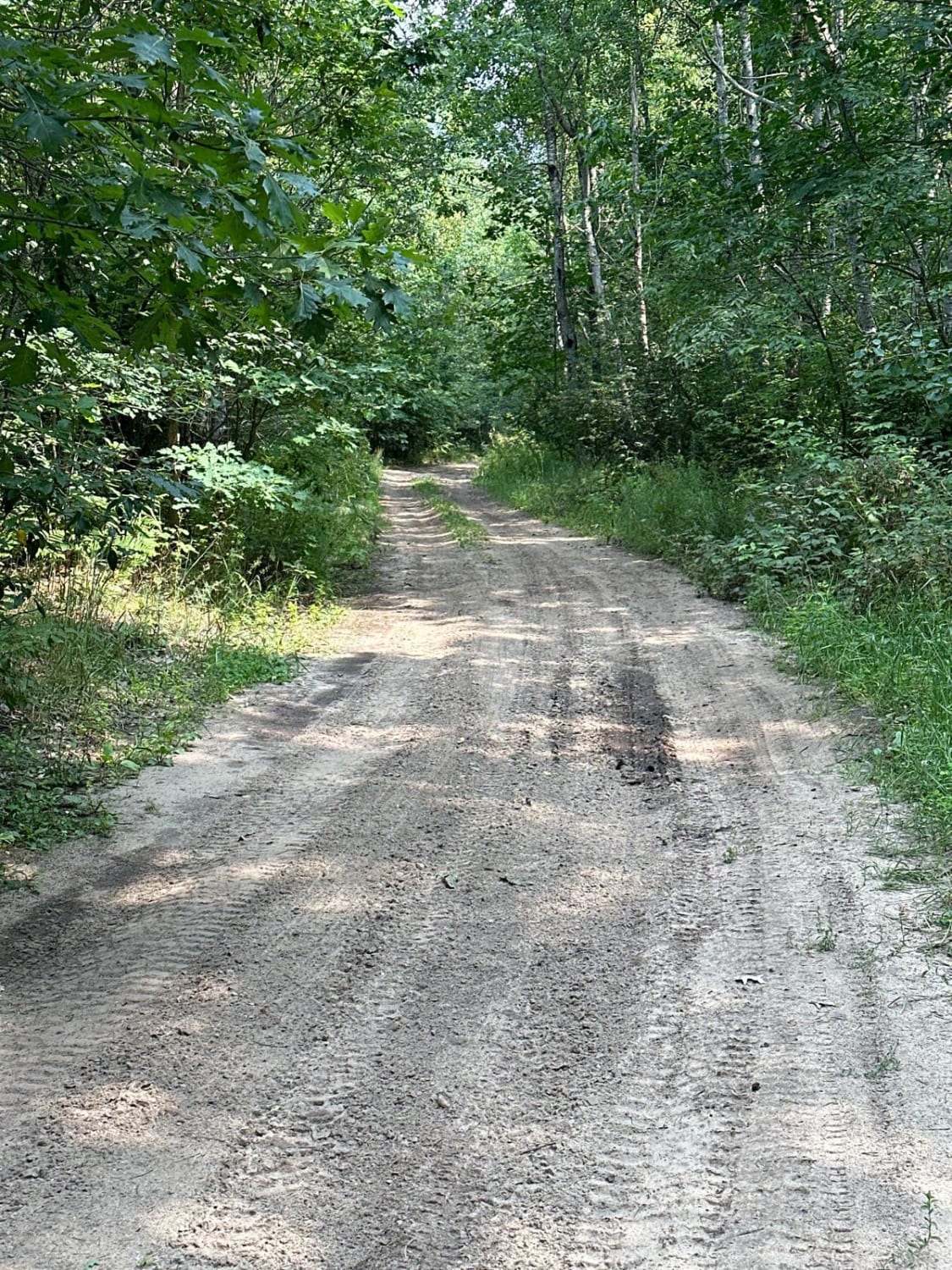
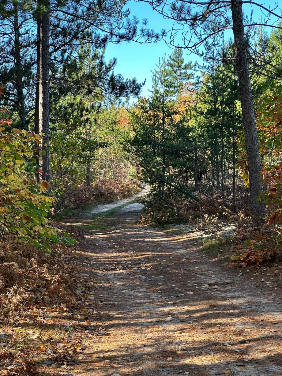
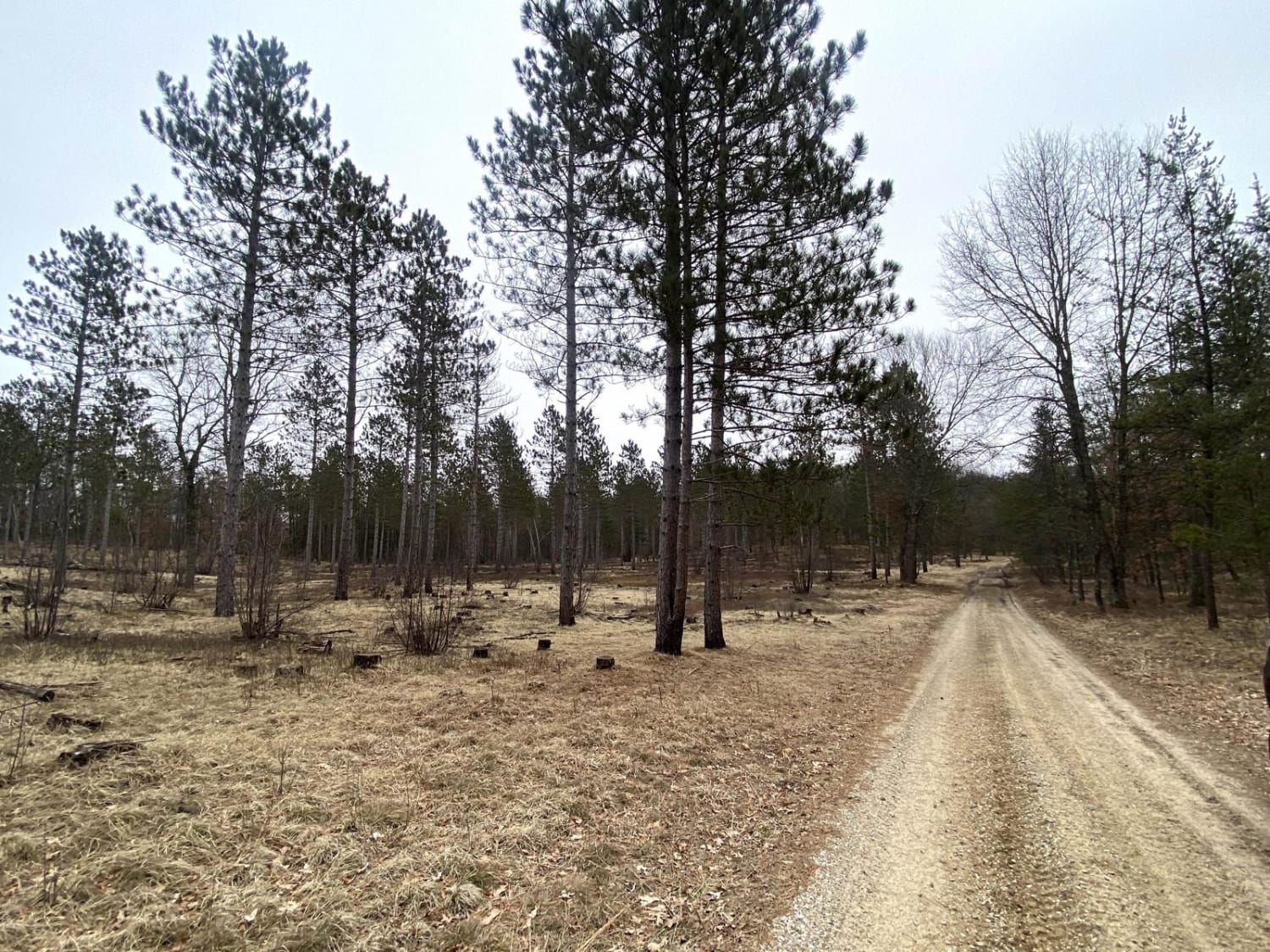
Cedar Creek Rd travels east and west on the south end of a 31,000-acre piece of Traverse City Forest Management Land. This trail provides some great views and offers access to many other off-roading opportunities. Most of this road is two vehicles wide and decently maintained. Depending on recent rainfall, this trail can get a little soggy in spots. This road will be drivable by most vehicles.
Photos of Cedar Creek Rd
Difficulty
Two vehicles wide in most areas. With a lot of rainfall some areas of this road can get a little wet creating some puddles but most vehicles will have no issues.
Status Reports
Cedar Creek Rd can be accessed by the following ride types:
- High-Clearance 4x4
- SUV
- SxS (60")
- ATV (50")
- Dirt Bike
Cedar Creek Rd Map
Popular Trails
Lamb Road/Trail 39
Power in the Pines

NFS 6055/5117
The onX Offroad Difference
onX Offroad combines trail photos, descriptions, difficulty ratings, width restrictions, seasonality, and more in a user-friendly interface. Available on all devices, with offline access and full compatibility with CarPlay and Android Auto. Discover what you’re missing today!