Cedar Lake Trail
Total Miles
8.1
Technical Rating
Best Time
Spring, Summer, Fall, Winter
Trail Type
Full-Width Road
Accessible By
Trail Overview
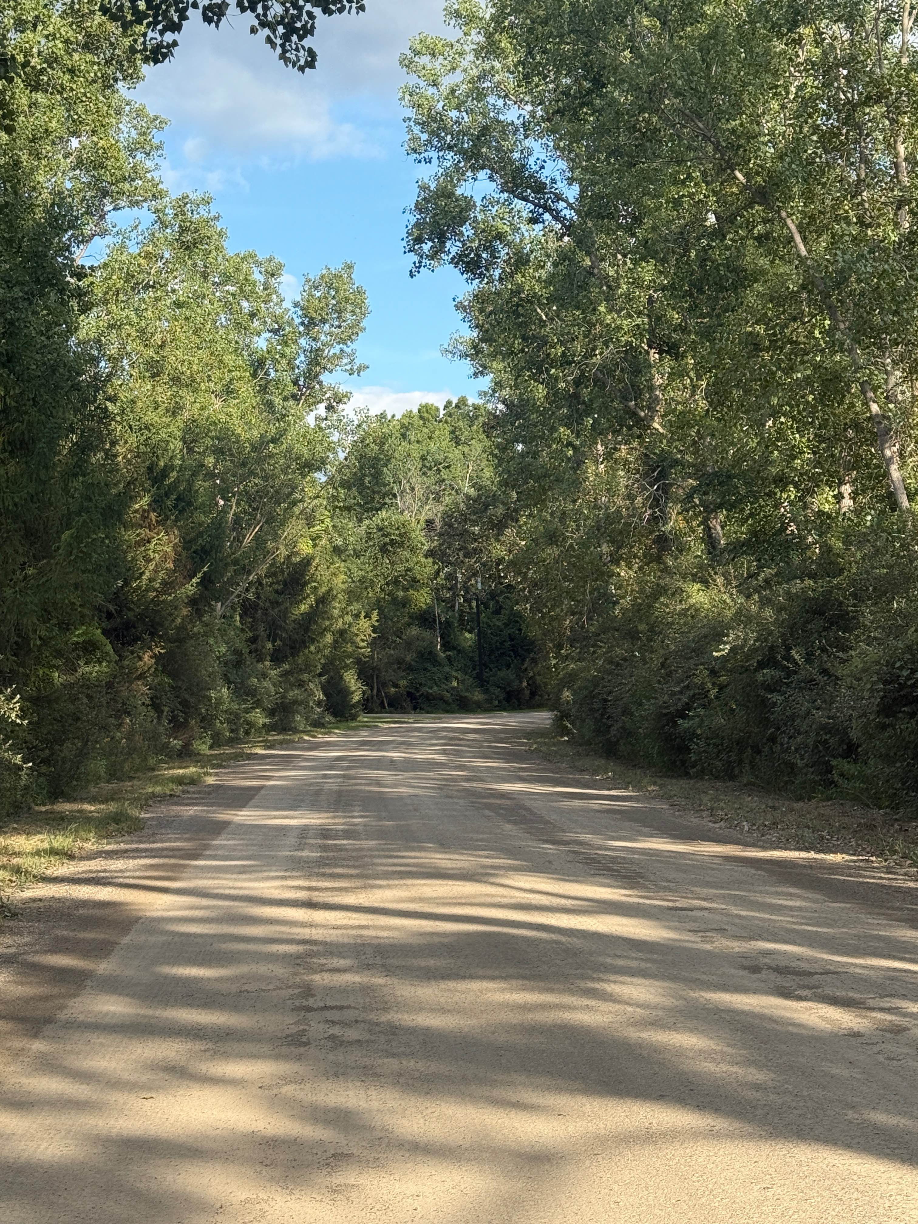
Cedar Lake Trail is an awesome 8-mile bidirectional trail within the Michigan Department of Natural Resources and right outside the Pickney State Rec Area. Located between Marion Township and Putnam Township, this trail is easily accessible. Starting from the southern end of Patterson Lake Road, you'll start out on an open dirt/gravel portion of the trail before it makes a sharp left turn about halfway through. On the left-hand side, right as you start the trail, you will see the Hell Campground. Not sure if this is an actual campground or not, but it's pretty neat nonetheless. The trail eventually opens up with vast views of clear-cut areas. There are 2 different lakes along this trail as well. The one you can see the most is towards the end of the trail, called Cedar Lake. It is breathtaking! The trail finishes at West Coon Lake Road. Like most of Michigan trails, conditions are dependent on the weather. Recent rainfall can cause unfavorable conditions on the trail, including downed trees, mud holes, and washouts. Come Prepared! This is not a difficult trail at all, but it contains a lot of fun and beauty, and gives access to other great trails nearby. Regardless of the conditions of this trail, it's a fantastic route to explore with a lot of fun to be had! As always, PLEASE TREAD LIGHTLY and be respectful of our public lands so future generations can have access to these trails!
Photos of Cedar Lake Trail

Difficulty
The technical rating and difficulty were given a one because it's a dirt road with gentle grades. This trail is safe for all vehicle types and is two vehicles wide.
Status Reports
Cedar Lake Trail can be accessed by the following ride types:
- High-Clearance 4x4
- SUV
Cedar Lake Trail Map
Popular Trails

Huron Mouth Trail

Kenobo Lake North - FSR 2024

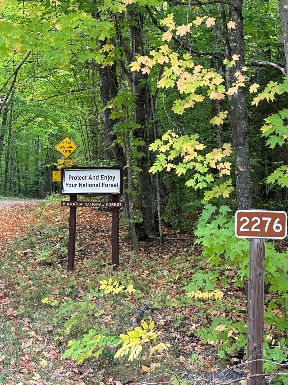
FS 2276 Part 2
The onX Offroad Difference
onX Offroad combines trail photos, descriptions, difficulty ratings, width restrictions, seasonality, and more in a user-friendly interface. Available on all devices, with offline access and full compatibility with CarPlay and Android Auto. Discover what you’re missing today!