Huron Mouth Trail
Total Miles
5.1
Technical Rating
Best Time
Spring, Summer, Fall
Trail Type
Full-Width Road
Accessible By
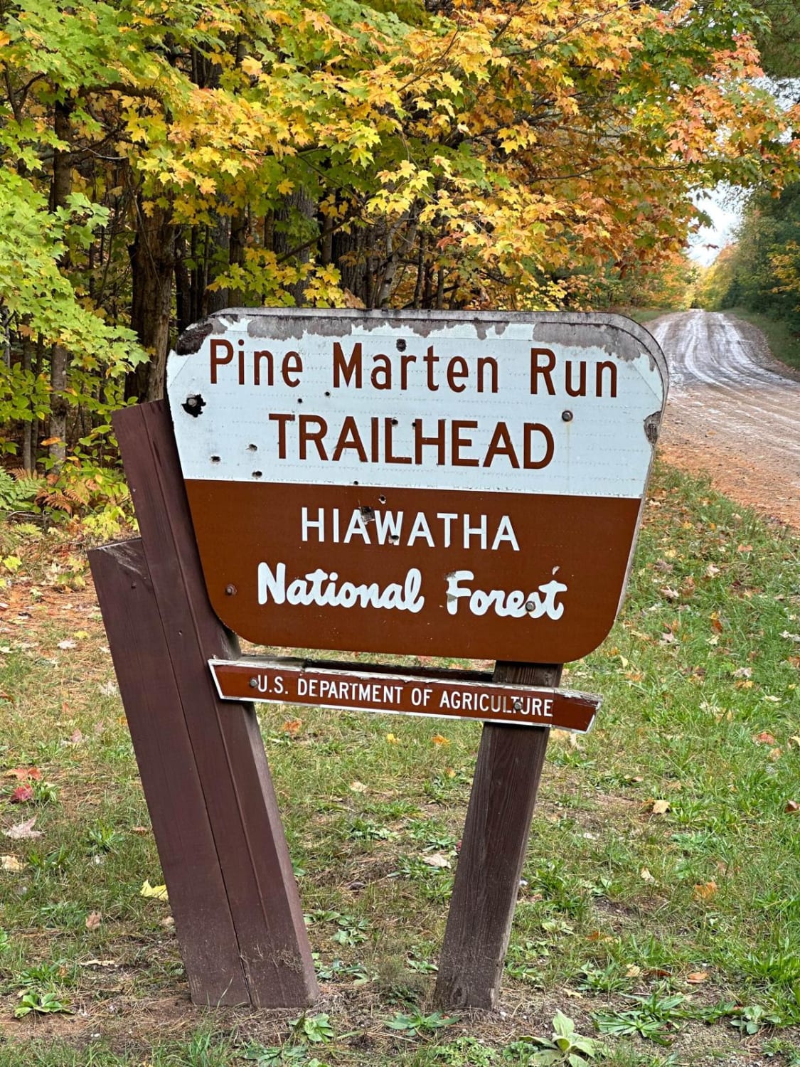
Trail Overview
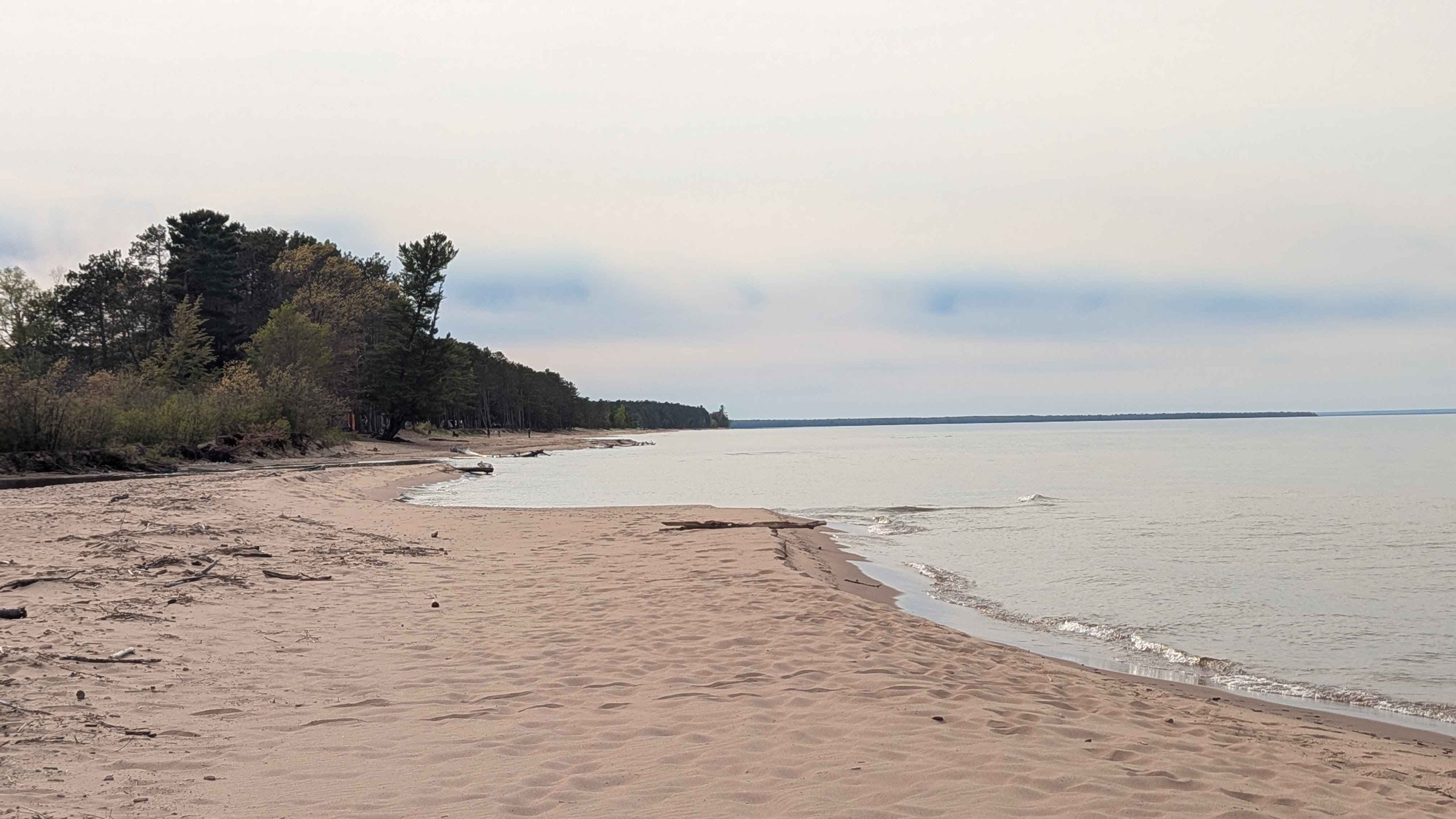
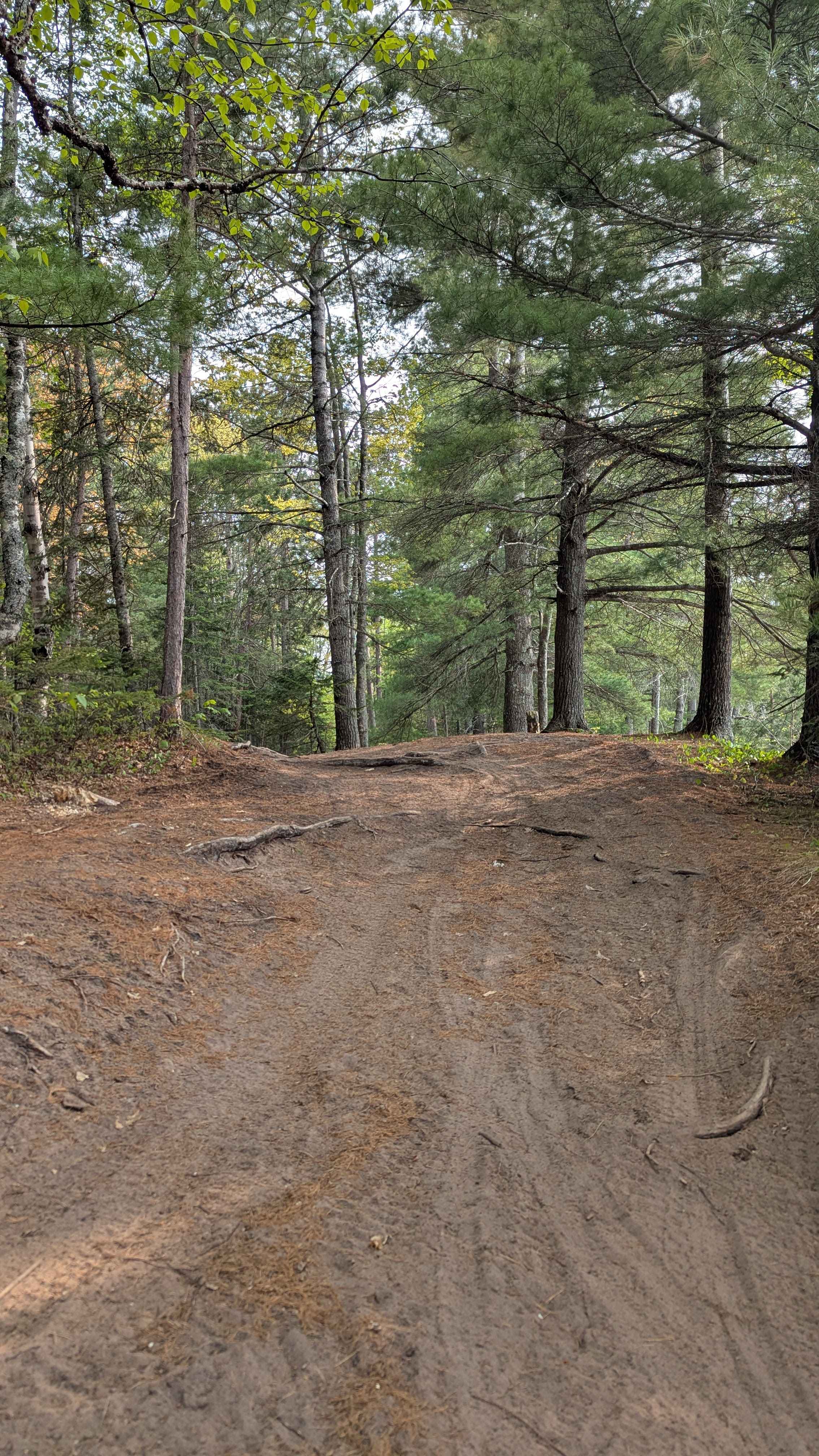
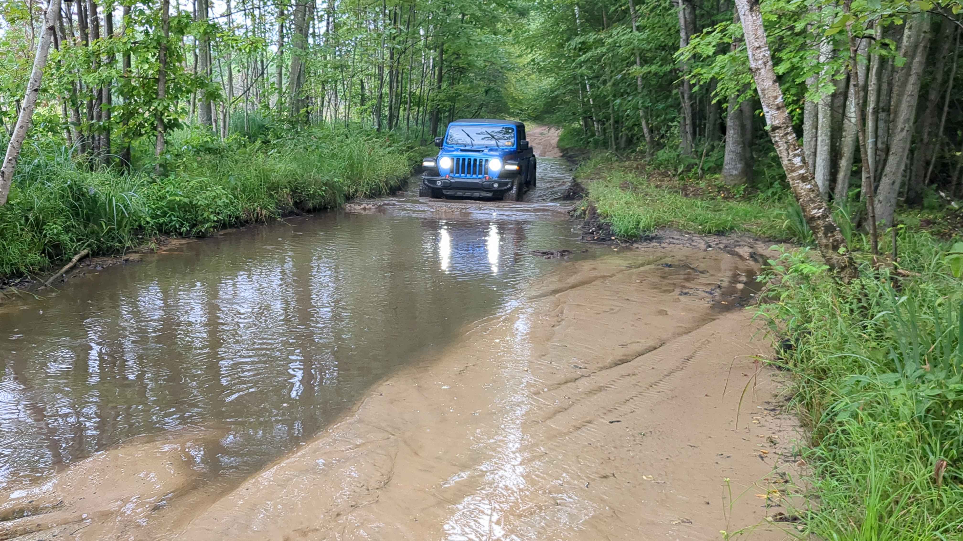
This trail is an in-and-out trail that dead ends at Lake Superior, where it meets the mouth of the Huron. This trail is mainly a level 3 due to the last three quarters of a mile towards the north. The first few miles of this trail resemble a two-lane dirt road. As you travel the last few miles, the trail will become slightly more narrow and eventually become only wide enough for one vehicle. When you are in this area, you will find a few rock ledges roughly 6 to 8 inches tall, as well as muddy water holes ranging between 12 and 18 inches deep. If you make it to the end, please do not drive on the beach, as it is illegal. You will also find roughly four dispersed camping sites where the end of the trail meets Lake Superior. Enjoy, the view is epic.
Photos of Huron Mouth Trail
Difficulty
This route features small rock ledges, roughly 6 to 8 inches tall, as well as muddy water holes ranging between 12 and 18 inches deep.
Status Reports
Huron Mouth Trail can be accessed by the following ride types:
- High-Clearance 4x4
- SUV
Huron Mouth Trail Map
Popular Trails
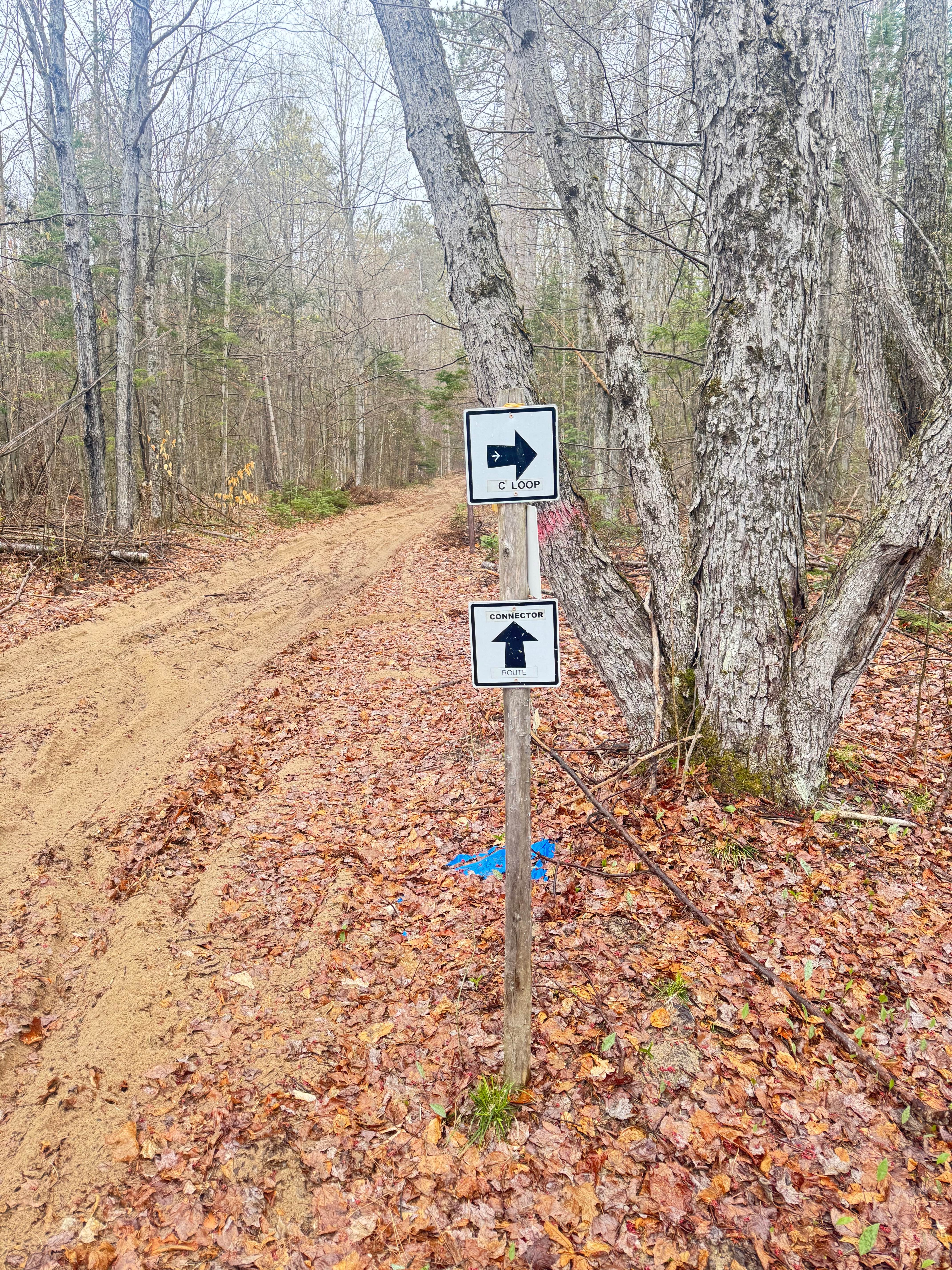
Tomahawk C loop Southeast Leg
Midland To Mackinaw Trail
The onX Offroad Difference
onX Offroad combines trail photos, descriptions, difficulty ratings, width restrictions, seasonality, and more in a user-friendly interface. Available on all devices, with offline access and full compatibility with CarPlay and Android Auto. Discover what you’re missing today!