Tomahawk C loop Southeast Leg
Total Miles
3.7
Technical Rating
Best Time
Spring, Summer, Fall
Trail Type
Single Track
Accessible By
Trail Overview
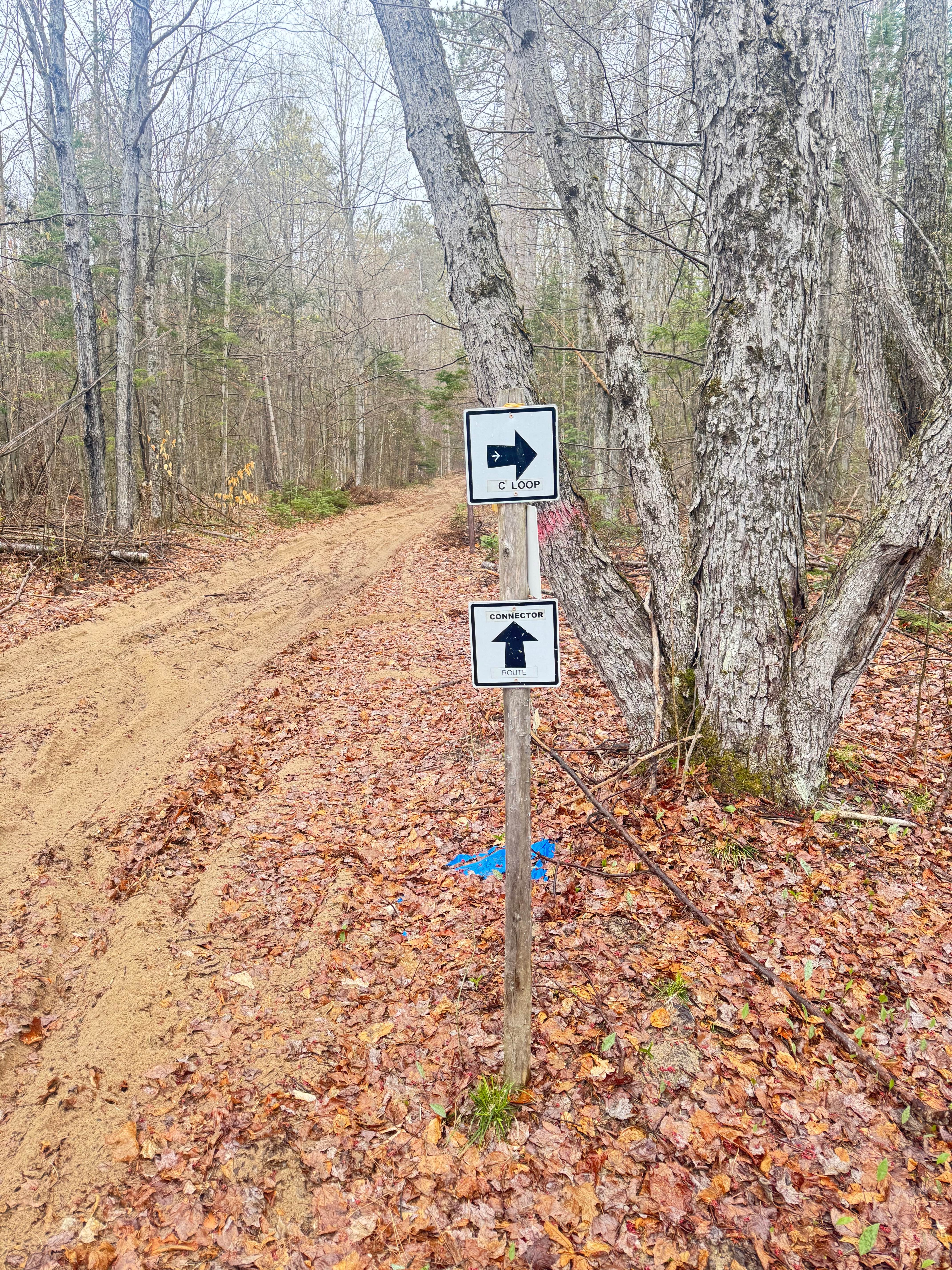
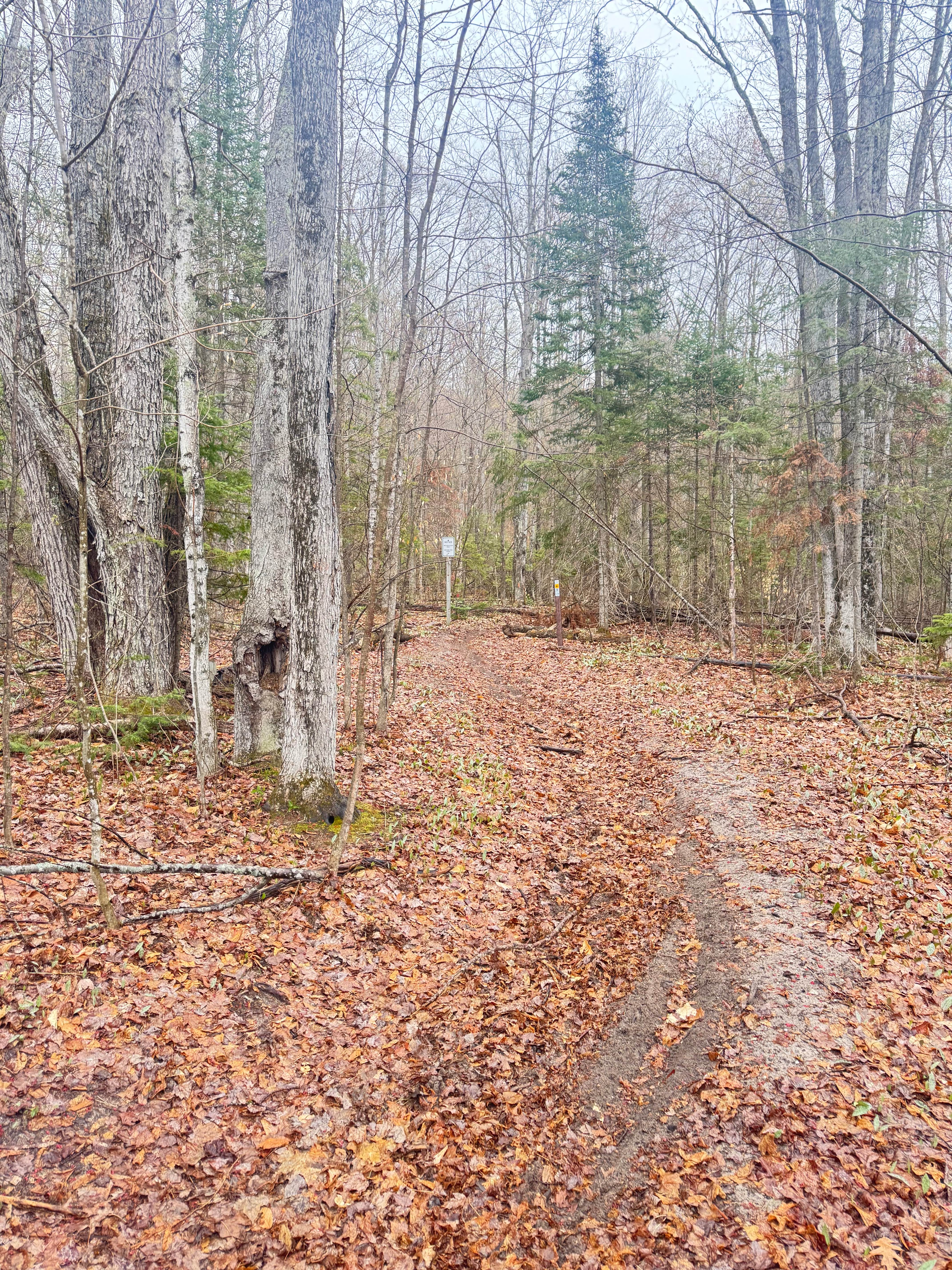
This leg of the trail consists of rocks, roots, sand, and loamy soil. There is a short section of "side hilling" where the trail rides along the side of a steep ravine, adding some challenge to the route. Switchbacks and medium-height berms make this section very fun and challenging. All of Tomahawk's trails are known for their technicality throughout the system. There will be ice storm damage that will take some time to degrade, so be cautious of ever-falling tree limbs and tops as they have become suspended high in the air on most sections
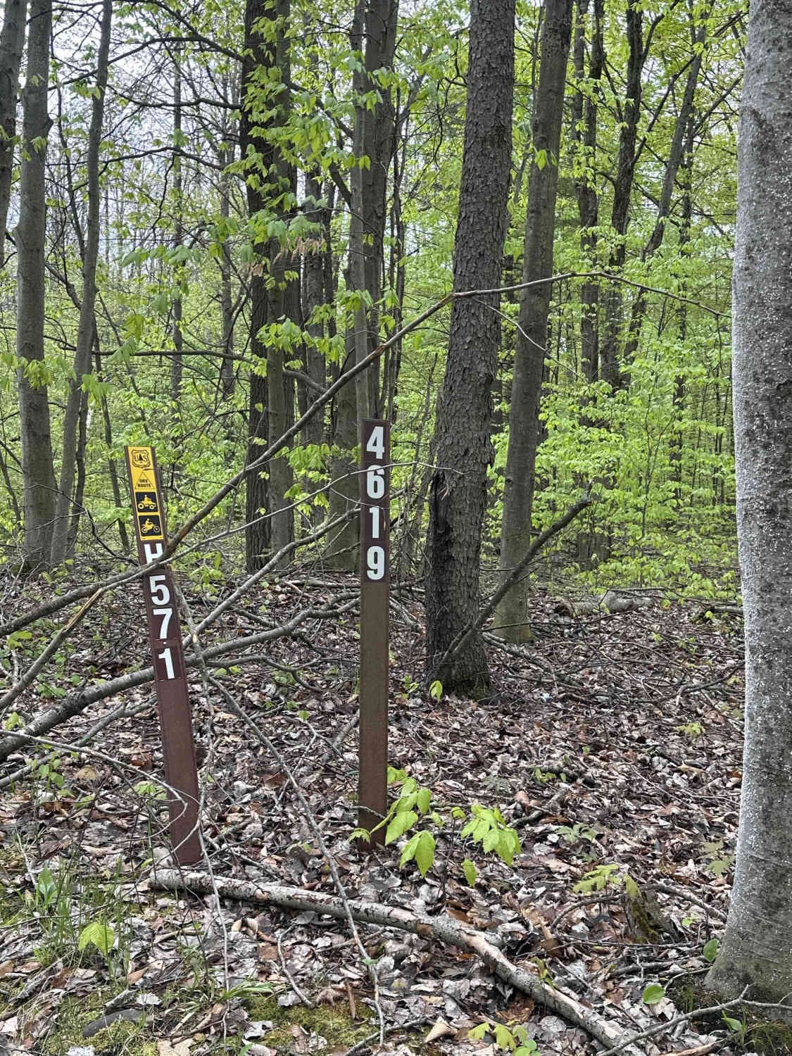
Photos of Tomahawk C loop Southeast Leg
Difficulty
The trail may be littered with fallen debris at any given time. Always look as far ahead as possible to avoid any unforeseen obstacles. The side-hilling portion of this trail is slightly technical, so be sure to stay on the trail and be calculated with every movement along it.
Status Reports
Tomahawk C loop Southeast Leg can be accessed by the following ride types:
- Dirt Bike
Tomahawk C loop Southeast Leg Map
Popular Trails

S 23-1/2 Connector Trail
MCCCT - Lincoln Hills to Caberfae Spur
The onX Offroad Difference
onX Offroad combines trail photos, descriptions, difficulty ratings, width restrictions, seasonality, and more in a user-friendly interface. Available on all devices, with offline access and full compatibility with CarPlay and Android Auto. Discover what you’re missing today!