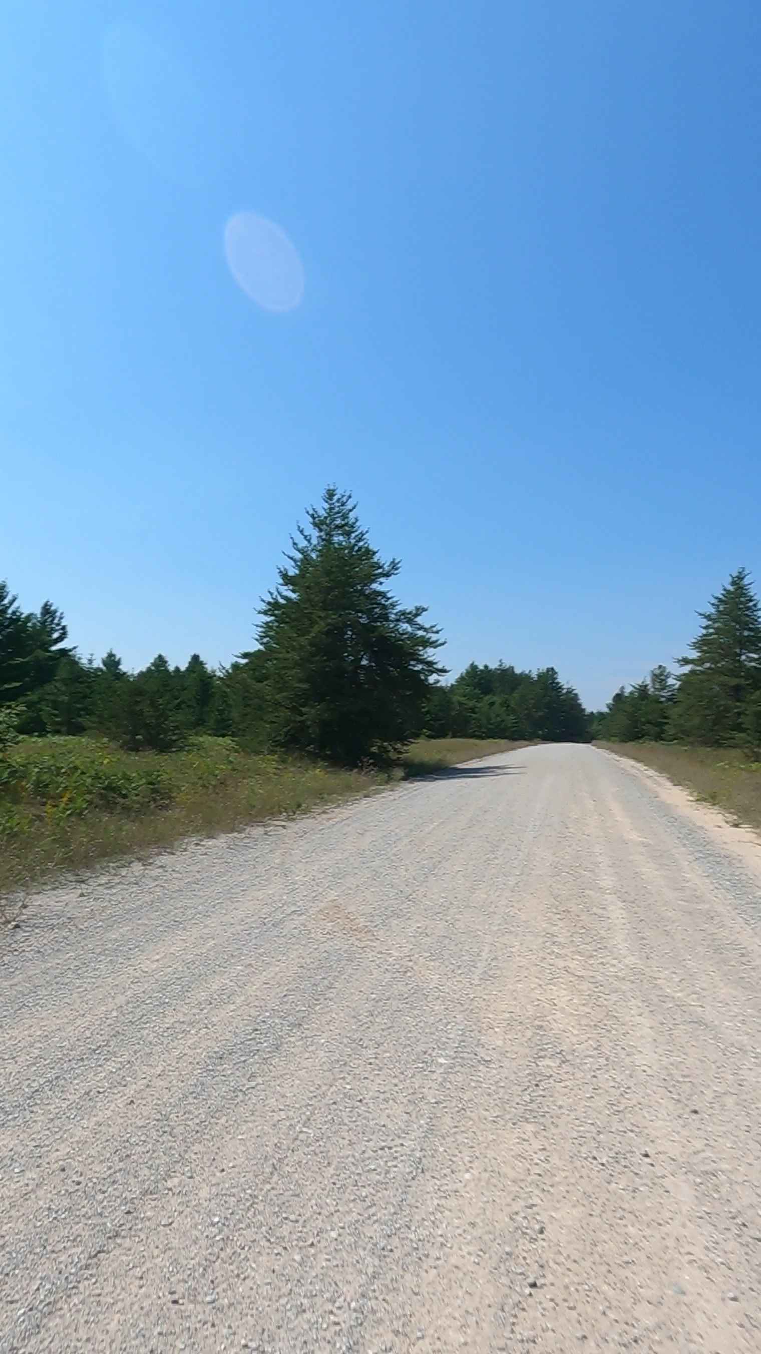
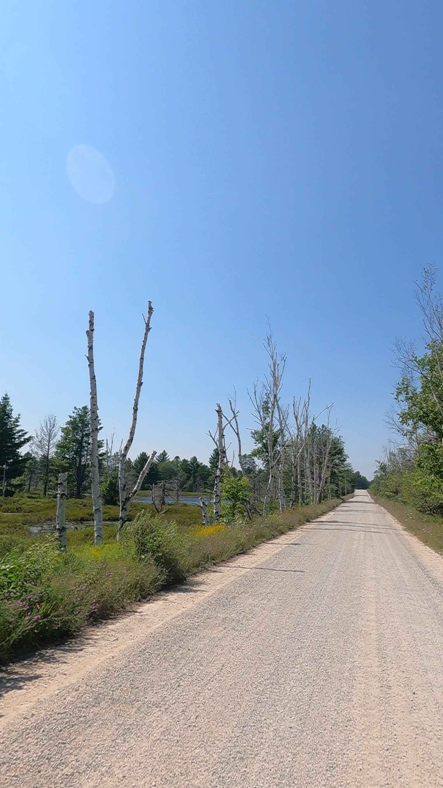
Cataract Road
Total Miles
1.7
Technical Rating
Best Time
Spring, Summer, Fall
Trail Type
Full-Width Road
Accessible By
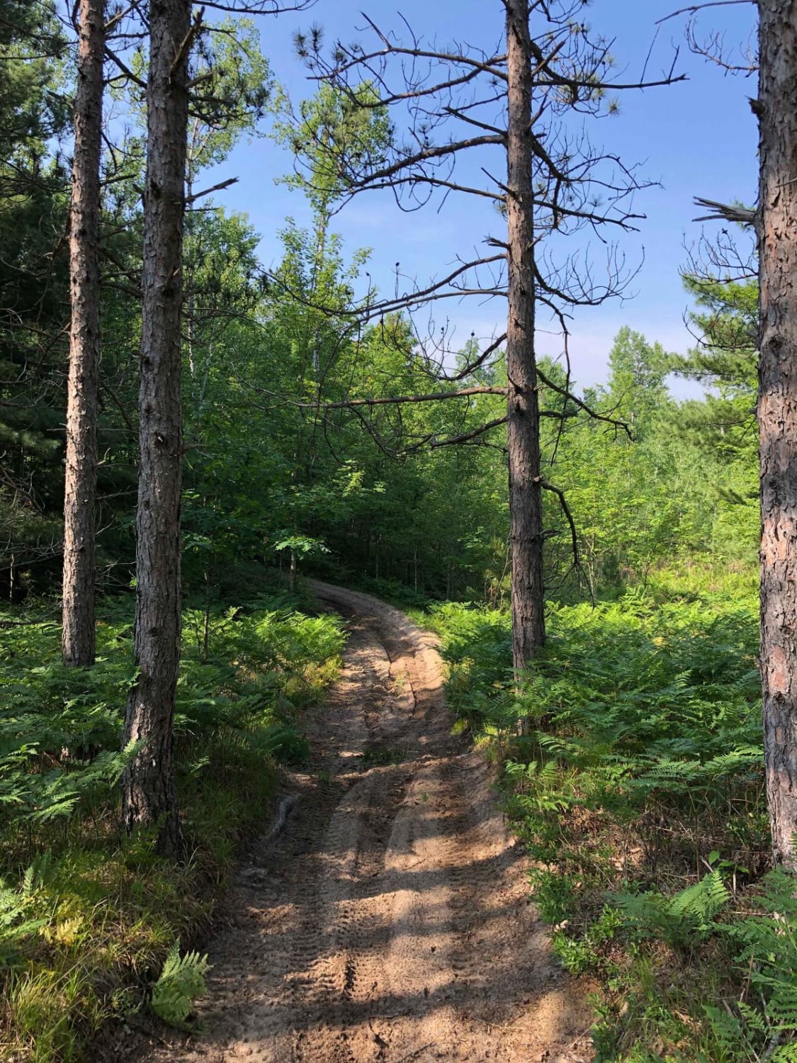
Trail Overview
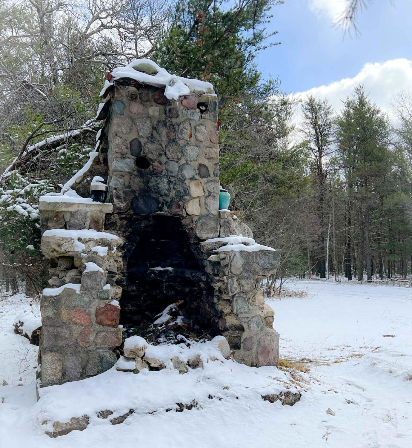
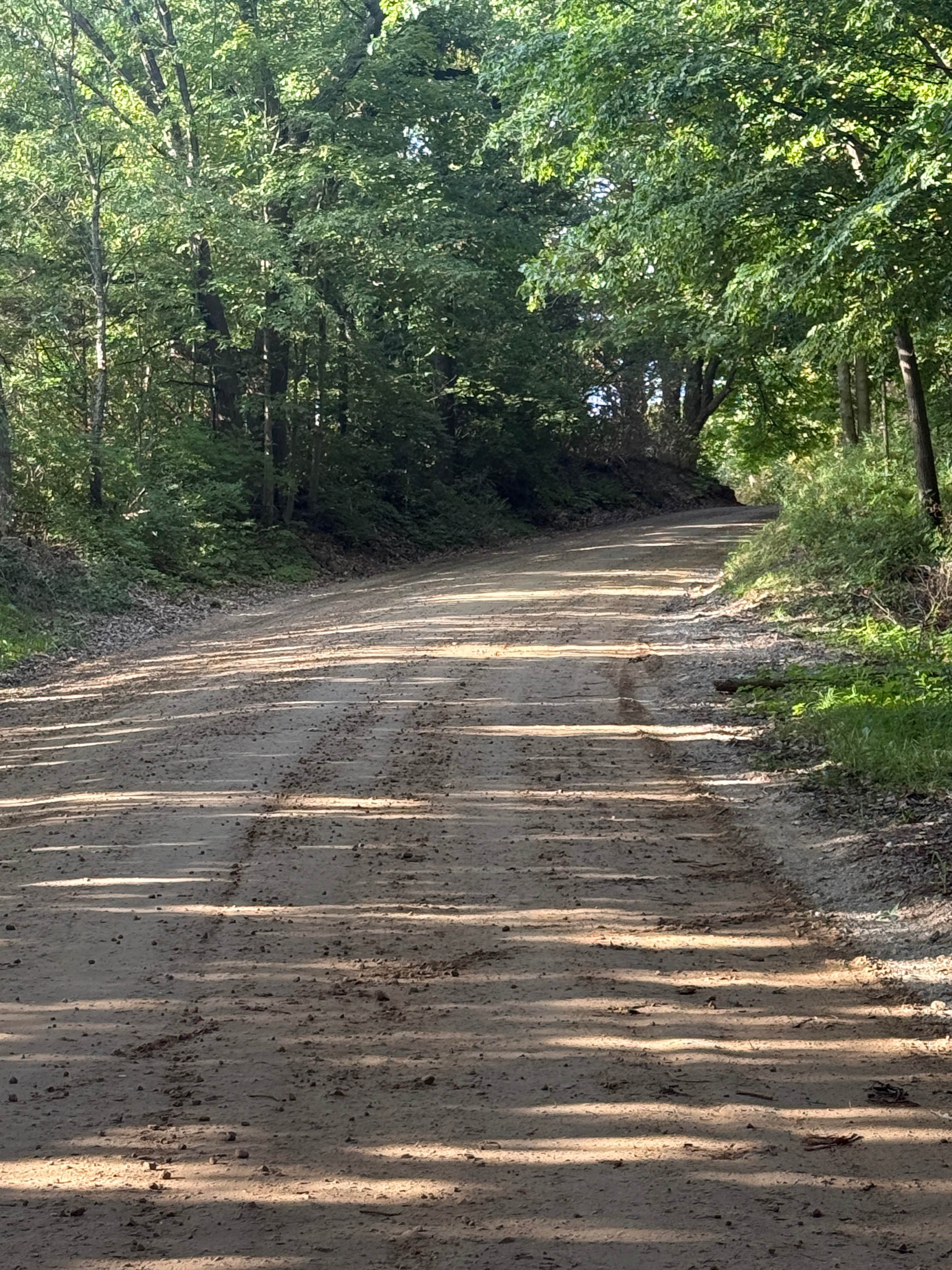
Cataract Road is a non-DNR road owned by the county. The surface is composed of dirt, sand, gravel, and native material, and the overall condition is considered fair. Since it is not a DNR road, ORV use is subject to local government laws. The road remains open under the current closure criteria. This seasonal, there-and-back route provides access to several key locations, including residential properties, the Cataract Water Basin, the Cataract Hydroelectric Property, Cataract Dam Falls, and the middle branch of the Escanaba River.
Photos of Cataract Road
Difficulty
Dirt, sand, and gravel road with gentle grades. Safe for most 4WD and high-clearance 2WD vehicles. Road is typically two vehicles in width.
History
The Cataract Hydroelectric Power Plant on the Escanaba River (Michigan): This is one of the most prominent "Cataract" basins with a documented hydro history. Original construction: It was first built in 1929 by the Cleveland Cliffs Mining Co. to supply power for its mining operations. Period of inactivity: The plant was eventually taken out of service and sat inactive for nearly a decade. Restoration: In 2012, Renewable World Energies LLC purchased the site and, with help from Kiser Hydro, restored the aging facility. Resumption of operations: The restoration was completed in 2015, and the plant was reported to be running efficiently by late 2016.
Status Reports
Cataract Road can be accessed by the following ride types:
- High-Clearance 4x4
- SUV
- SxS (60")
- ATV (50")
- Dirt Bike
Cataract Road Map
Popular Trails
North Missaukee Trail - 14478 & 14167

Norway Truck Trail (NWT) Trail 5 North ATV/ OHM Bypass
Sacred Chimney Trail
Pingree Trail
The onX Offroad Difference
onX Offroad combines trail photos, descriptions, difficulty ratings, width restrictions, seasonality, and more in a user-friendly interface. Available on all devices, with offline access and full compatibility with CarPlay and Android Auto. Discover what you’re missing today!