Off-Road Trails in Kentucky
Discover off-road trails in Kentucky
Learn more about Bear Gap Road (FSR 431)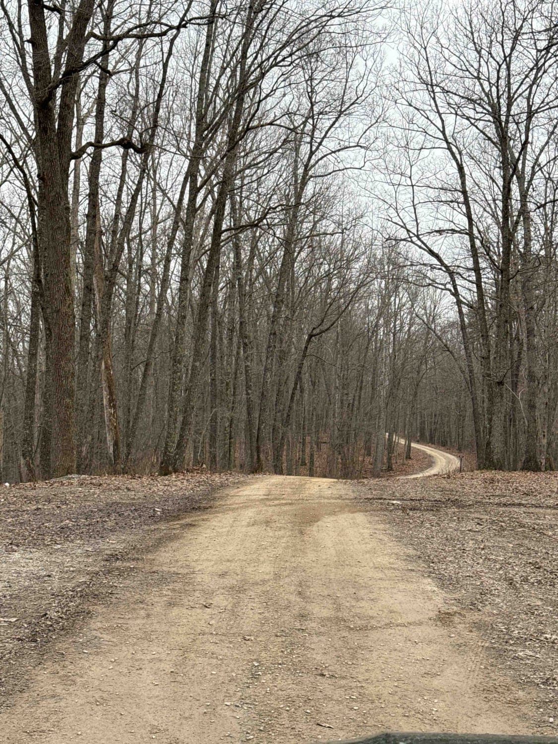
Bear Gap Road (FSR 431)
Total Miles
3.9
Tech Rating
Easy
Best Time
Spring, Summer, Fall, Winter
Learn more about Beech Timber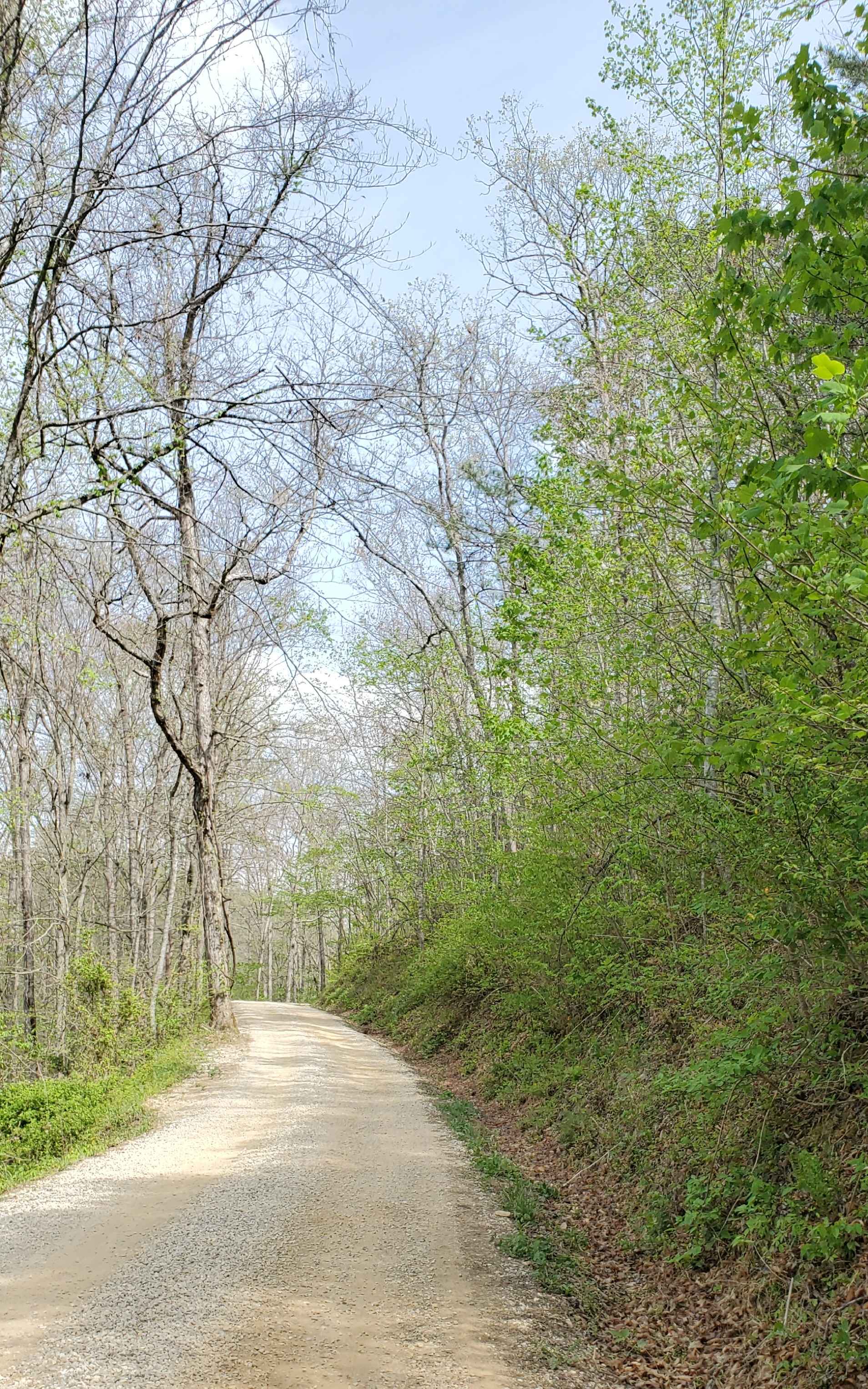
Beech Timber
Total Miles
1.9
Tech Rating
Easy
Best Time
Summer, Spring, Fall, Winter
Learn more about Bell Farm Road - FS 564
Bell Farm Road - FS 564
Total Miles
5.5
Tech Rating
Easy
Best Time
Spring, Fall
Learn more about Benberry Cemetery Road - FS 301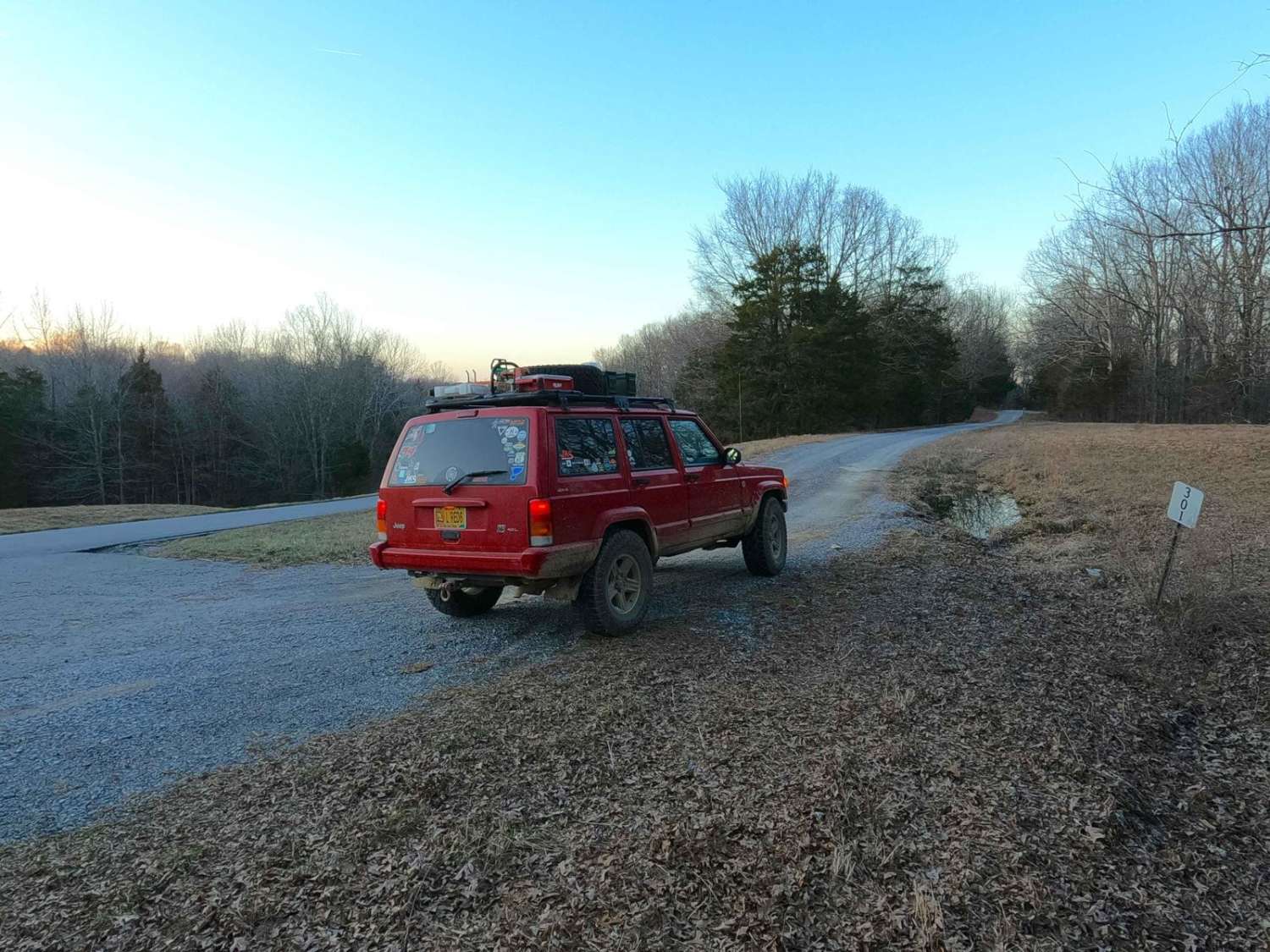
Benberry Cemetery Road - FS 301
Total Miles
1.0
Tech Rating
Easy
Best Time
Spring, Summer, Fall, Winter
Learn more about Bethlehem Cemetery - FS 122
Bethlehem Cemetery - FS 122
Total Miles
1.5
Tech Rating
Easy
Best Time
Spring, Summer, Fall, Winter
Learn more about Betty Bowman
Betty Bowman
Total Miles
2.9
Tech Rating
Moderate
Best Time
Spring, Summer, Fall
Learn more about Big Bend Road
Big Bend Road
Total Miles
3.6
Tech Rating
Moderate
Best Time
Summer, Spring, Fall, Winter
Learn more about Big Branch 3044
Big Branch 3044
Total Miles
1.2
Tech Rating
Easy
Best Time
Spring, Summer, Winter, Fall
Learn more about Big Widow Maker - BYPASS
Big Widow Maker - BYPASS
Total Miles
0.1
Tech Rating
Moderate
Best Time
Spring, Summer, Fall
Learn more about Billey Fork Road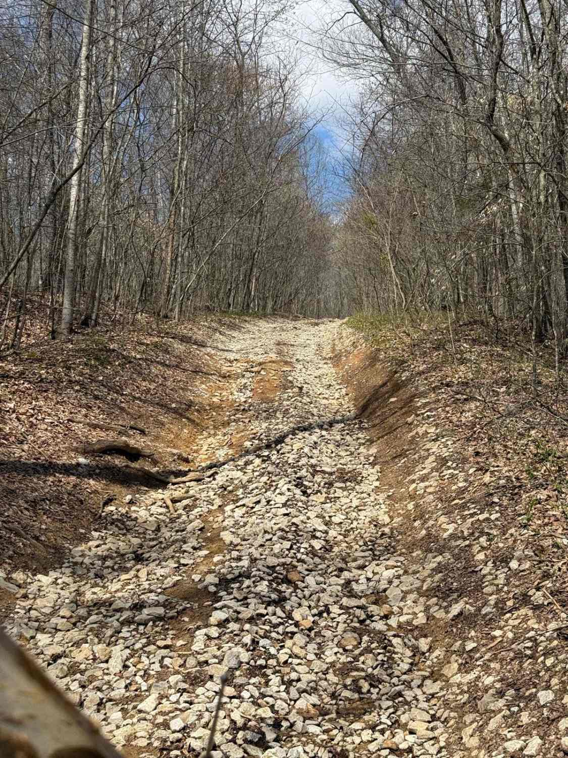
Billey Fork Road
Total Miles
0.3
Tech Rating
Easy
Best Time
Spring, Fall, Winter, Summer
Learn more about Black Lick Rd - DBBB
Black Lick Rd - DBBB
Total Miles
4.5
Tech Rating
Easy
Best Time
Spring, Summer, Fall, Winter
Learn more about Bleepin Jeep's Halfway House
Bleepin Jeep's Halfway House
Total Miles
0.3
Tech Rating
Difficult
Best Time
Spring, Summer, Fall, Winter
Learn more about Block House Road - FS 350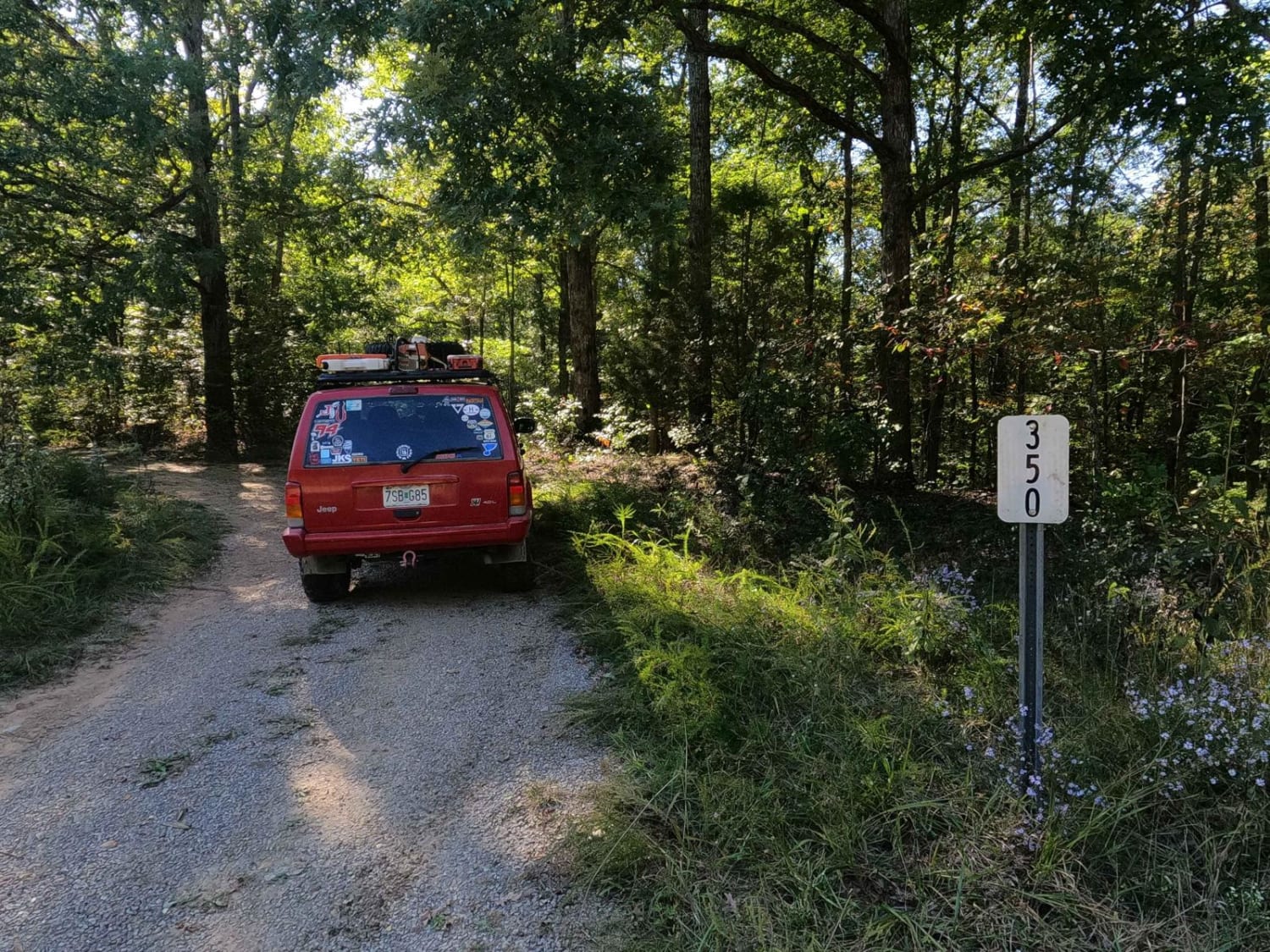
Block House Road - FS 350
Total Miles
3.1
Tech Rating
Moderate
Best Time
Summer, Fall, Winter
Learn more about Boardinghouse Access - FS 333
Boardinghouse Access - FS 333
Total Miles
1.1
Tech Rating
Moderate
Best Time
Spring, Summer, Fall, Winter
Learn more about Bogard Cemetery Road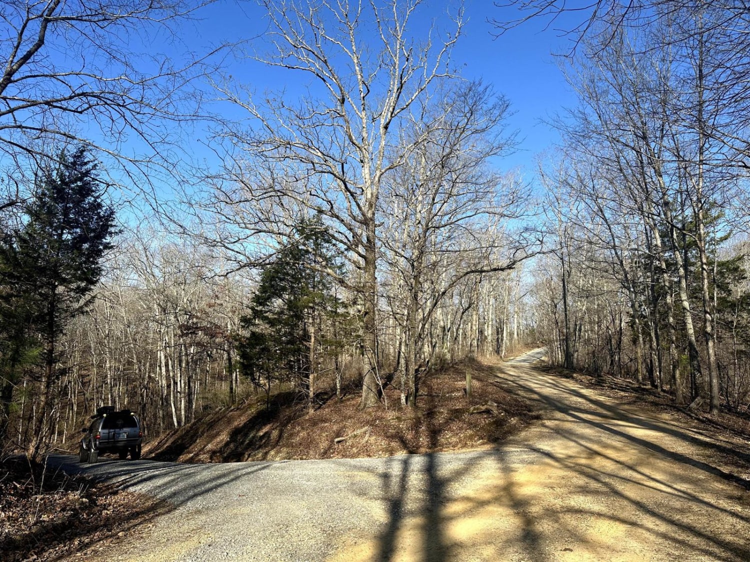
Bogard Cemetery Road
Total Miles
2.0
Tech Rating
Easy
Best Time
Spring, Summer, Fall
Learn more about Bogard Road - FS 157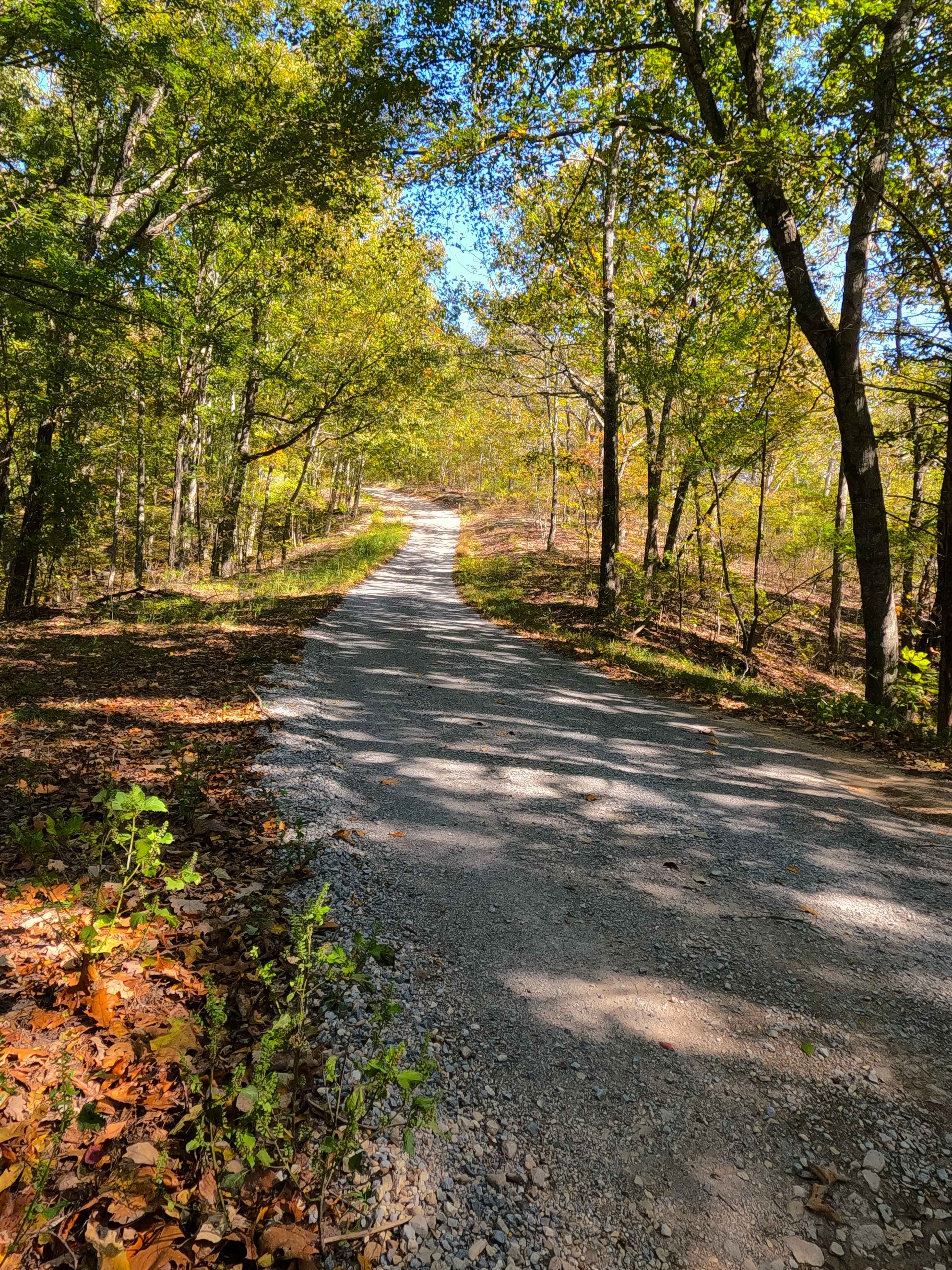
Bogard Road - FS 157
Total Miles
0.9
Tech Rating
Easy
Best Time
Spring, Summer, Fall, Winter
Learn more about Bogie Mill - Eddington
Bogie Mill - Eddington
Total Miles
1.5
Tech Rating
Easy
Best Time
Spring, Summer, Fall, Winter
Learn more about Boneyard Trail 1 - Holiday Hill Gatekeeper
Boneyard Trail 1 - Holiday Hill Gatekeeper
Total Miles
1.9
Tech Rating
Difficult
Best Time
Spring, Summer, Fall
ATV trails in Kentucky
Learn more about 1 to 2 Road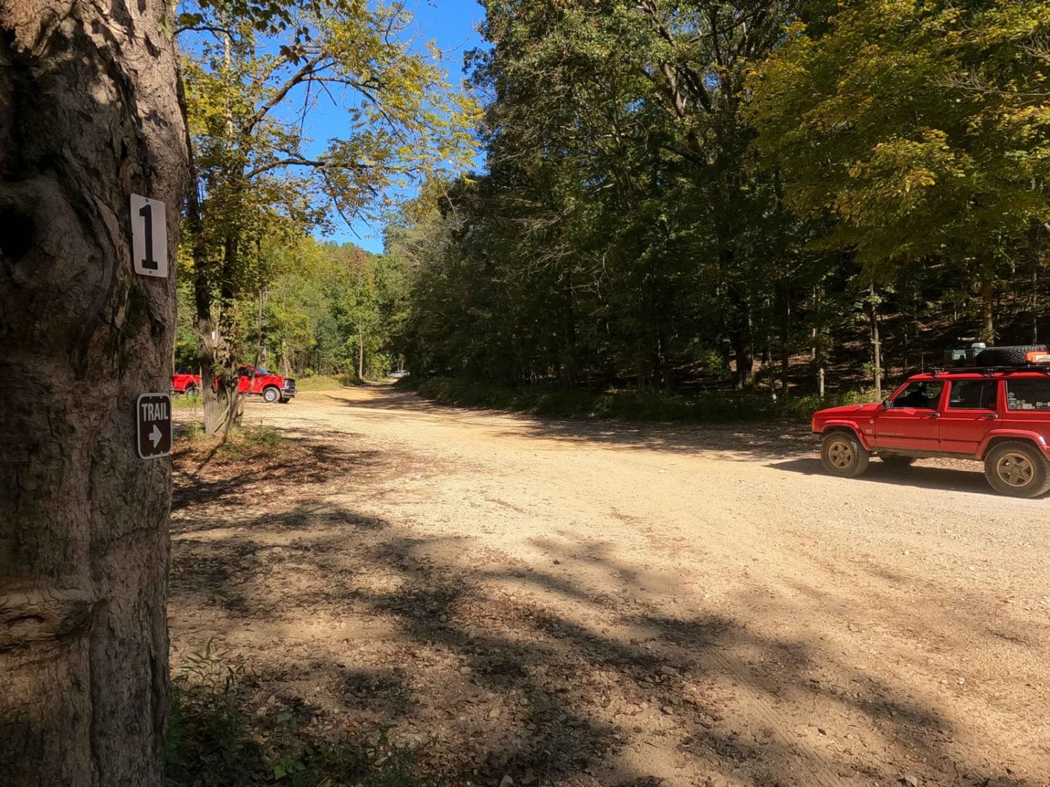
1 to 2 Road
Total Miles
1.1
Tech Rating
Easy
Best Time
Spring, Summer, Fall, Winter
UTV/side-by-side trails in Kentucky
Learn more about 1 to 2 Road
1 to 2 Road
Total Miles
1.1
Tech Rating
Easy
Best Time
Spring, Summer, Fall, Winter
The onX Offroad Difference
onX Offroad combines trail photos, descriptions, difficulty ratings, width restrictions, seasonality, and more in a user-friendly interface. Available on all devices, with offline access and full compatibility with CarPlay and Android Auto. Discover what you’re missing today!