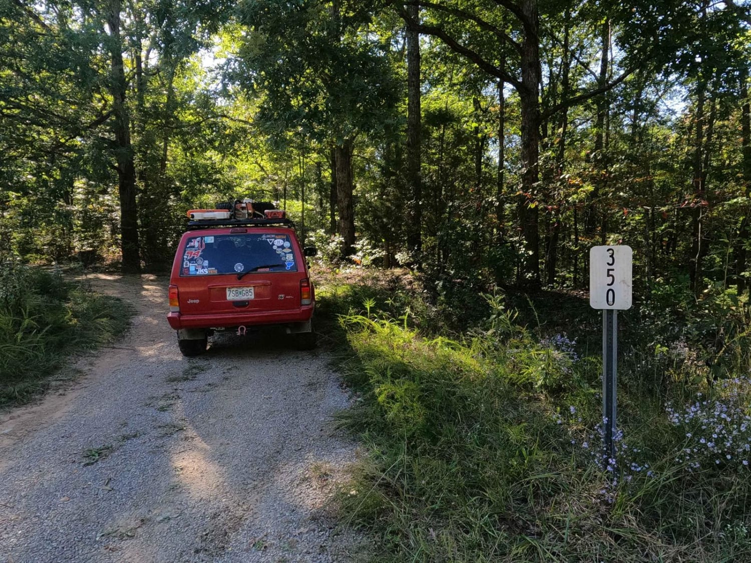
Block House Road - FS 350
Total Miles
3.1
Technical Rating
Best Time
Summer, Fall, Winter
Trail Type
High-Clearance 4x4 Trail
Accessible By
Trail Overview
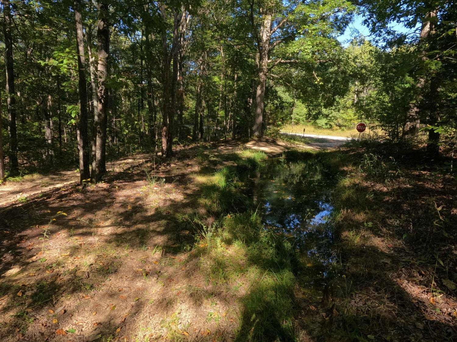
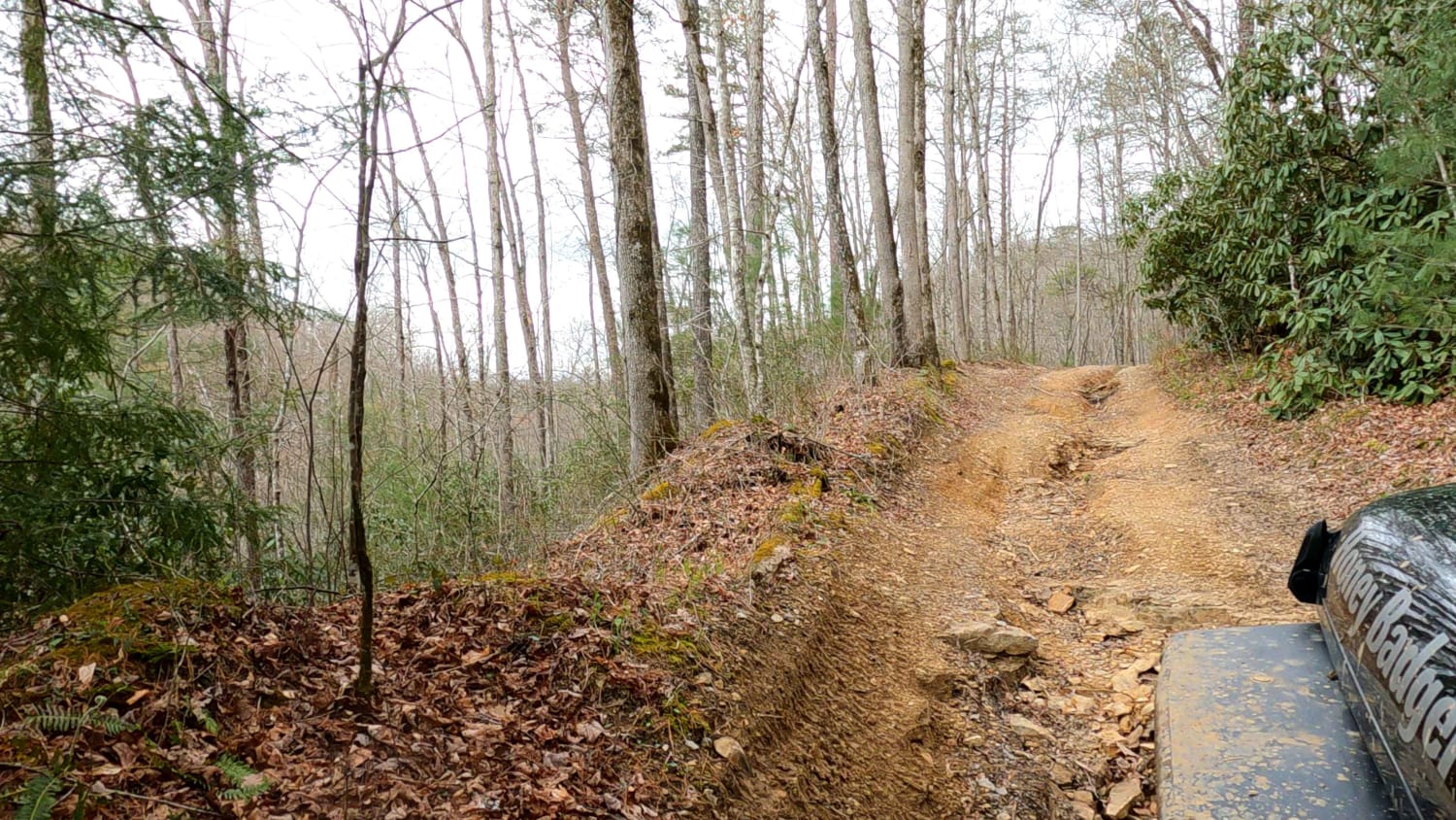
The Block House Road FS 350 is a natural, low-standard, forestry road in the southwestern Kentucky section, Kentucky Lake side, of the Land Between the Lakes National Recreation Area. It forms a loop going westward off the Woodland Trace National Scenic Byway that goes all the way to a bay off Kentucky Lake at its farthest reach. Both entry points to the trail feature ridge-top guardian mudholes, before heading downhill into the bottoms featuring mild grades with occasional short steep sections and a mostly dirt road with scattered rock, ruts, and washes. The bottom section pairs a feeder creek bottom road alongside a dirt road, and with the predominant fallen trees of this area, it forces riders to find the route that is currently open and available between the two parallel routes. In the bottoms, expect fallen trees to climb over, tree root obstacles, large mounds of loose gravel, water collection spots, tight treelines, and deep ruts. It's a very fun road if you want adventure. The road is natural and is subject to change with the season, giving a unique ride almost every time it is experienced. Note that this road is closed from 3/27 to 5/5 yearly for Turkey Season.
Photos of Block House Road - FS 350
Difficulty
The FS 350 features some gatekeeper mudholes on both ends of the loop in makes with the Woodland Trace Road. The smallest of the mudholes easily are 12 inches deep, with the larger holes being blocked off with logs or overgrowth. These were easily 2 to 3 feet deep, so it is advised to avoid them. The grade of the hills leading to the bottoms is mild with only small whoops that increase the steepness in the grade to moderate. The bottoms are where the fun comes into this trail. There are multiple routes within this section, and following the feeder creek bottoms is the direction referred to. The creek bottoms are typically dry, but have been shaped by use and rainwater mounding the rock into large 3-foot-plus mounds, 1-2 foot drop-off ruts, partly buried logs, downed trees, washes, and a very unlevel surface all with unpacked coarse creek gravel. The meandering of the creek, neighboring treelines, and eroded dirt walls create generally tight conditions, specifically turns, requiring multi-point turns to achieve. The bottoms will feature small water collections and mud holes. The bottoms also have a remarkable amount of downed trees, which have tight bypasses or require being driven over to pass. All this said, this trail is given a 4/10 rating due to the loose terrain, tight conditions, and hard flex points of the bottoms, with the deep mudholes at the entry points. Difficulty will increase in times of wet conditions and rain, especially in the bottoms where it uses the feeder creek to route to Kentucky Lake.
Status Reports
Block House Road - FS 350 can be accessed by the following ride types:
- High-Clearance 4x4
Block House Road - FS 350 Map
Popular Trails
Dog Branch to Rooks Road

Mary's Wild Horse Trail
Lake Trail
The onX Offroad Difference
onX Offroad combines trail photos, descriptions, difficulty ratings, width restrictions, seasonality, and more in a user-friendly interface. Available on all devices, with offline access and full compatibility with CarPlay and Android Auto. Discover what you’re missing today!