Off-Road Trails in Arizona
Discover off-road trails in Arizona
Learn more about East Mesa Wash Spur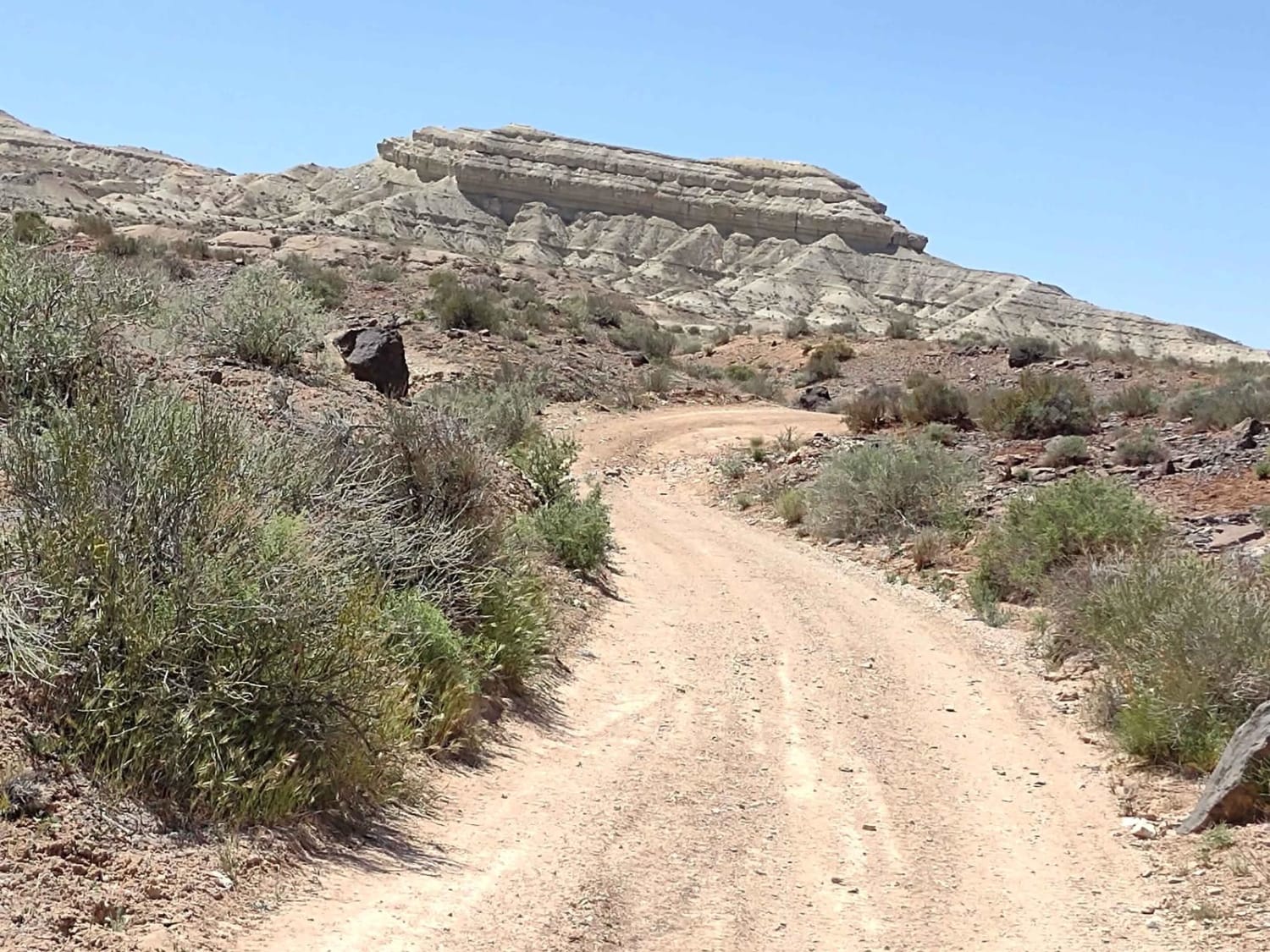
East Mesa Wash Spur
Total Miles
1.5
Tech Rating
Easy
Best Time
Spring, Summer, Fall, Winter
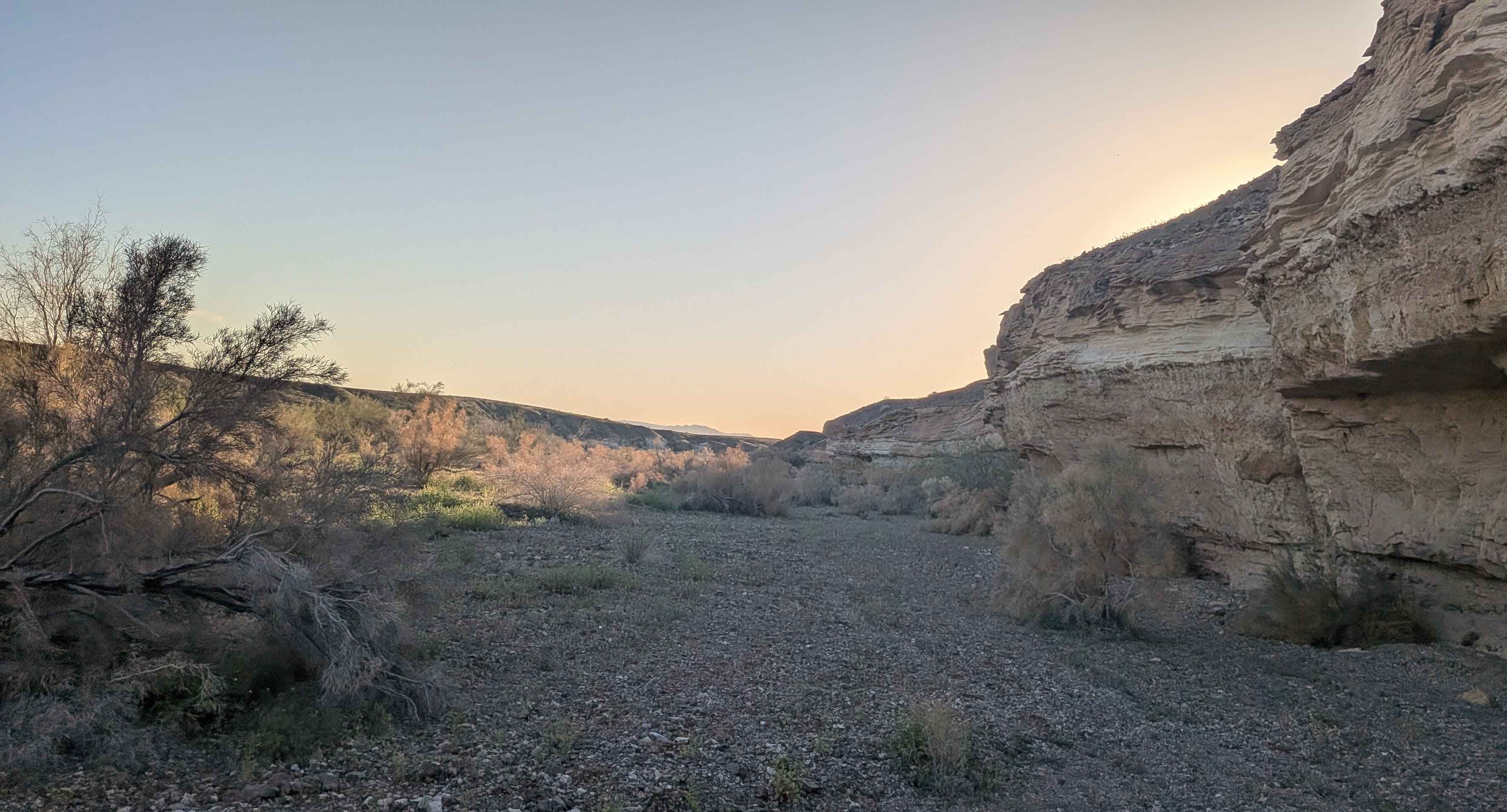
Learn more about East Rim Ridge Trail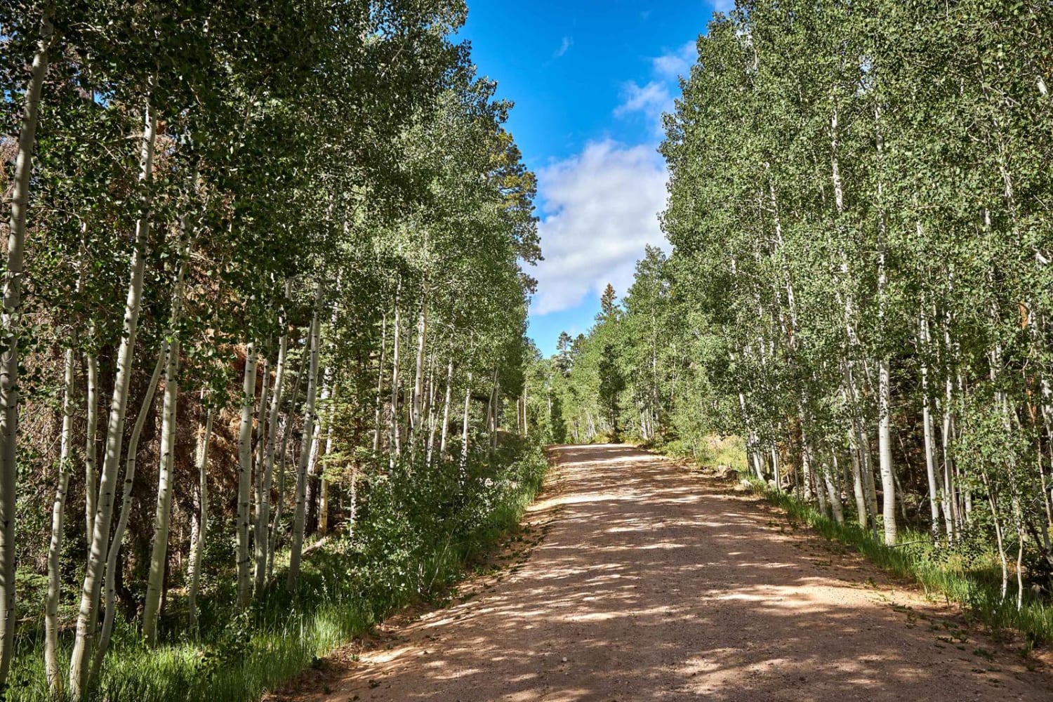
East Rim Ridge Trail
Total Miles
5.6
Tech Rating
Easy
Best Time
Spring, Summer, Fall
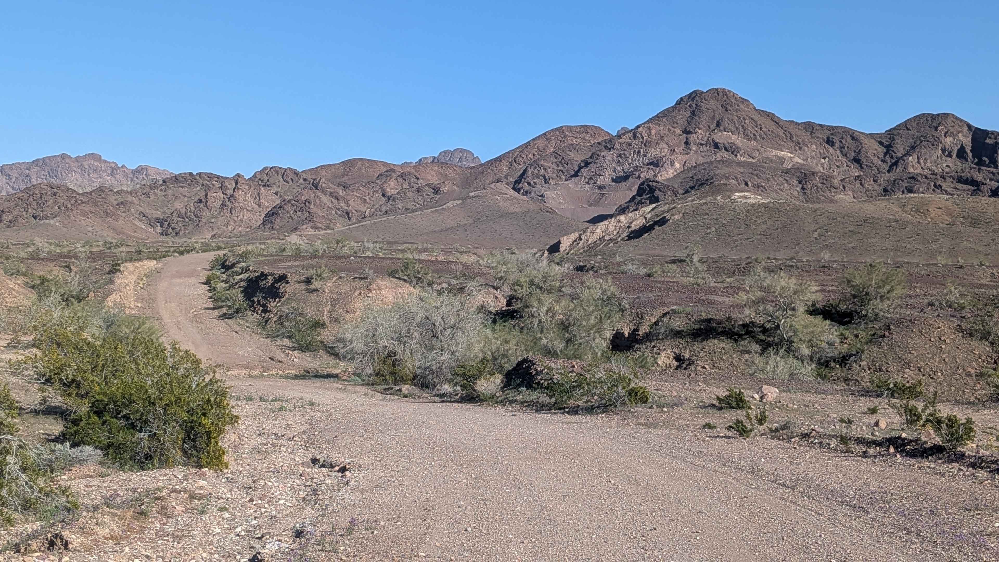
Learn more about East Ten Ranch Road
East Ten Ranch Road
Total Miles
9.0
Tech Rating
Easy
Best Time
Spring, Fall, Winter
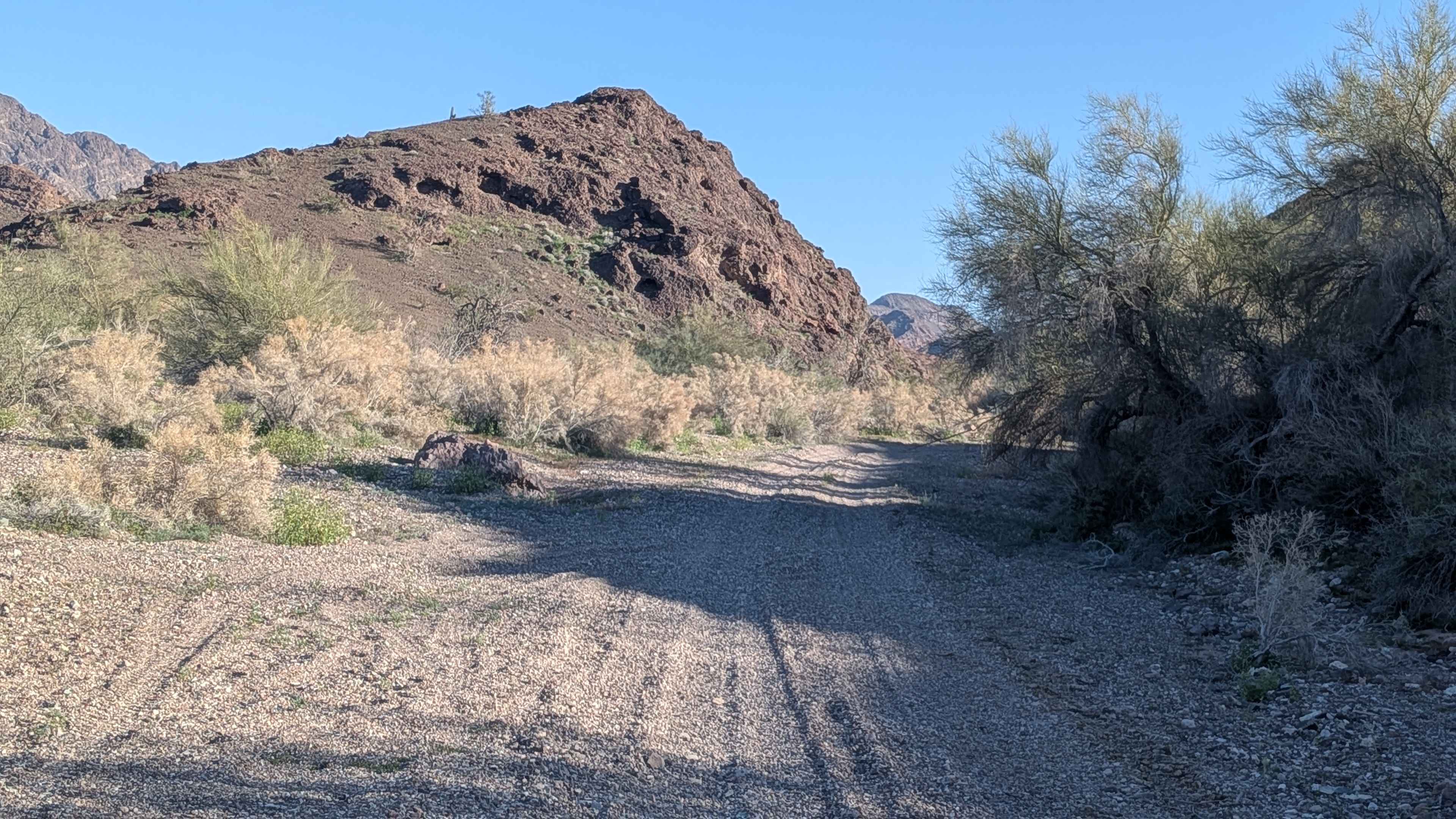
Learn more about East Verde River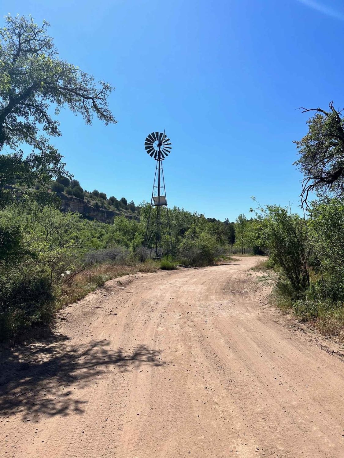
East Verde River
Total Miles
14.9
Tech Rating
Easy
Best Time
Spring, Fall, Winter
Learn more about East Willow Springs Road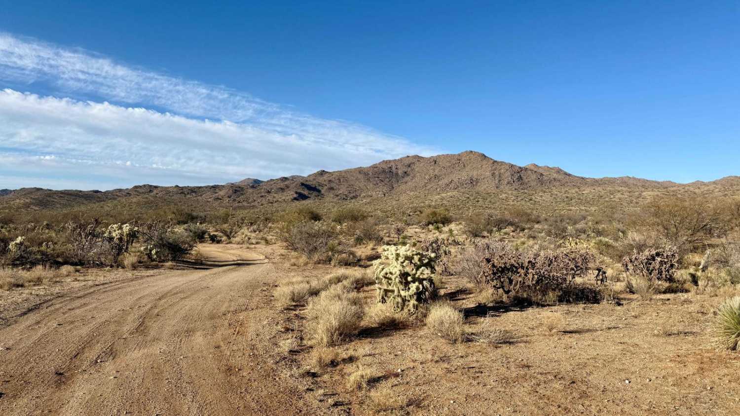
East Willow Springs Road
Total Miles
4.9
Tech Rating
Easy
Best Time
Spring, Fall, Winter
Learn more about East Yucca Farm Road
East Yucca Farm Road
Total Miles
8.1
Tech Rating
Easy
Best Time
Fall, Spring, Winter
Learn more about Eastern Entrance for Sears Point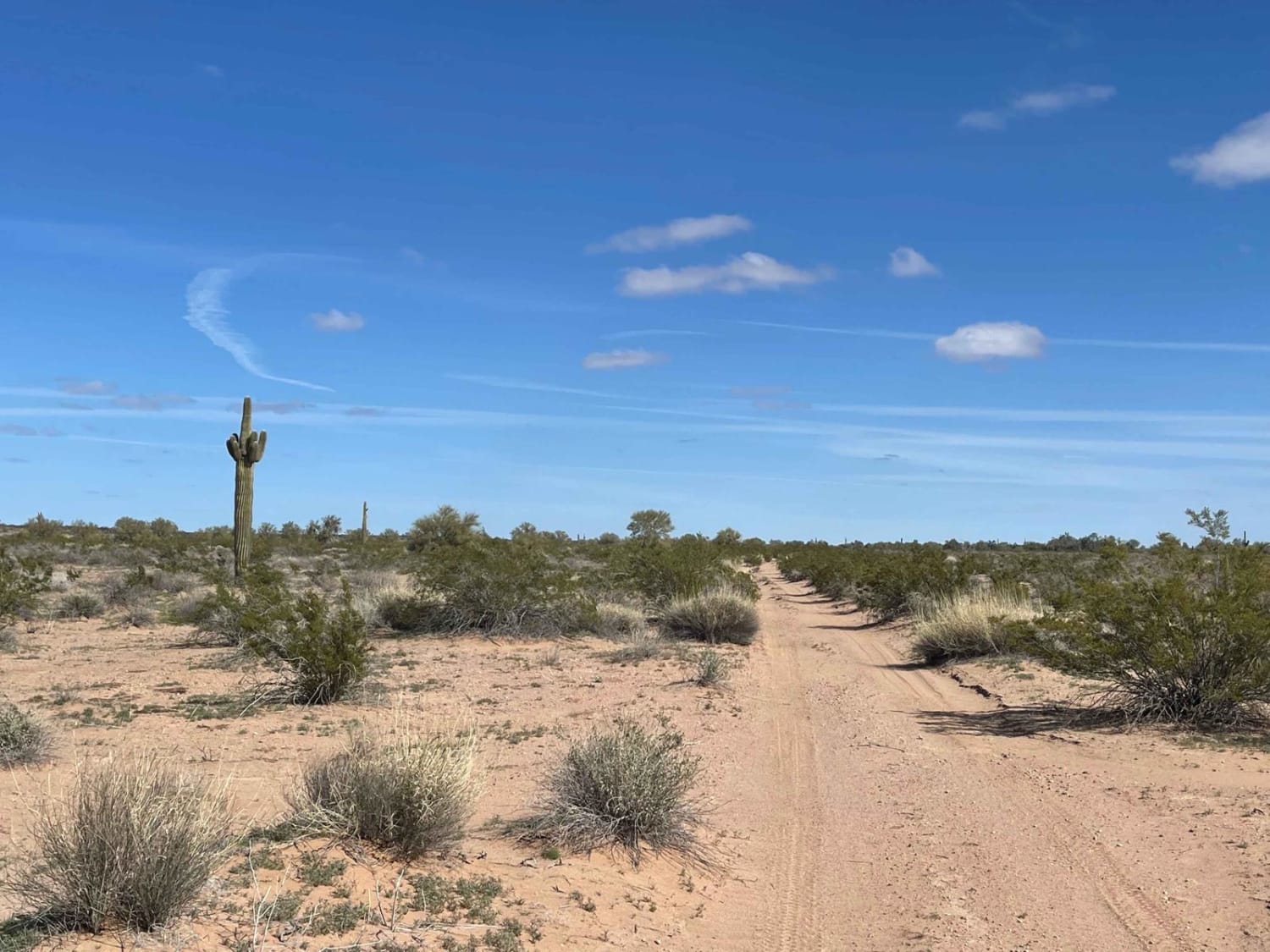
Eastern Entrance for Sears Point
Total Miles
5.8
Tech Rating
Moderate
Best Time
Spring, Winter
Learn more about Eastern Gasline - Courthouse Rock Access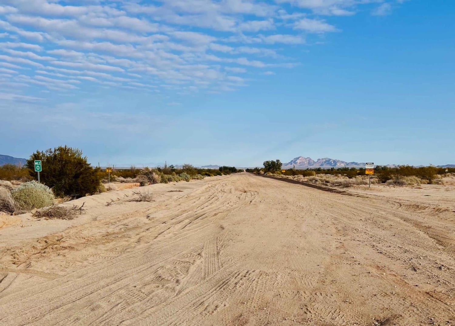
Eastern Gasline - Courthouse Rock Access
Total Miles
11.5
Tech Rating
Easy
Best Time
Winter, Fall, Spring
Learn more about Easy By-Way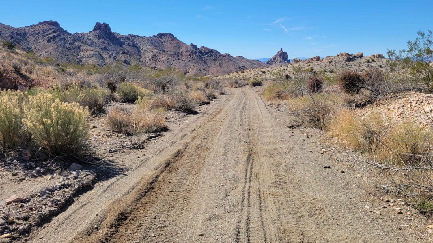
Easy By-Way
Total Miles
0.6
Tech Rating
Easy
Best Time
Spring, Summer, Fall, Winter
Learn more about Easy Graded Trail to the Wayside RV Resort
Easy Graded Trail to the Wayside RV Resort
Total Miles
3.0
Tech Rating
Easy
Best Time
Spring, Fall, Winter
Learn more about Easy Ridge, Hard Canyon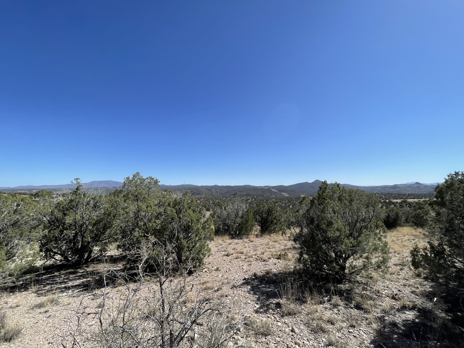
Easy Ridge, Hard Canyon
Total Miles
2.3
Tech Rating
Moderate
Best Time
Fall, Spring
Learn more about Eberts Secret
Eberts Secret
Total Miles
6.1
Tech Rating
Easy
Best Time
Spring, Summer, Fall

ATV trails in Arizona
Learn more about Scrub Oak Bypass 
Scrub Oak Bypass
Total Miles
0.5
Tech Rating
Easy
Best Time
Spring, Summer, Fall


UTV/side-by-side trails in Arizona
Learn more about Scrub Oak Bypass
Scrub Oak Bypass
Total Miles
0.5
Tech Rating
Easy
Best Time
Spring, Summer, Fall
The onX Offroad Difference
onX Offroad combines trail photos, descriptions, difficulty ratings, width restrictions, seasonality, and more in a user-friendly interface. Available on all devices, with offline access and full compatibility with CarPlay and Android Auto. Discover what you’re missing today!