Better Maps.
Better Decisions.
The ultimate backcountry ski & splitboard app. Trusted by guides, heralded by pros. Because the best skiers don’t just send, they study.
Know the Zone
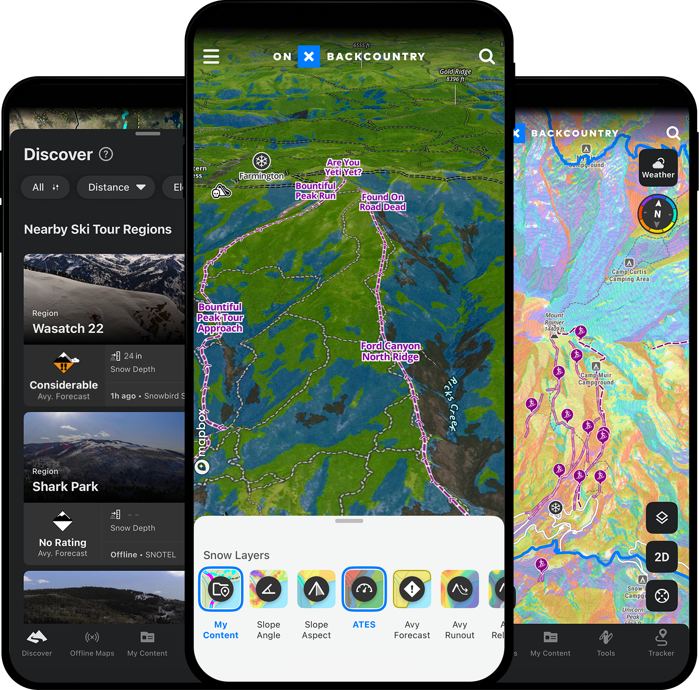
The only app with Offline 3D and LiDAR-based Topo, Avalanche Terrain Exposure Scale (ATES) maps, Avalanche Simulator, Snow Imagery, Recent Imagery, new expert-built Beacon Route, real-time weather and communication layers and so much more.
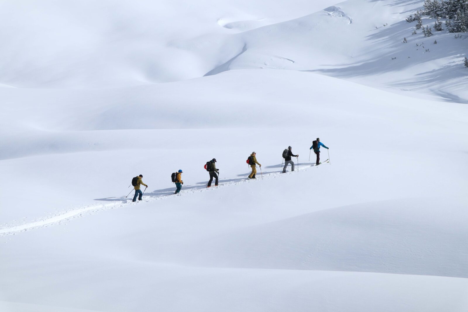
Plan and Navigate your next tour with onX Backcountry.

Offline on Purpose
View and understand complex terrain clearly, with vivid, LiDAR-based topo, 3D maps, slope angle and slope aspect—just download to access offline for total in-field confidence.

Plan Smart with ATES and Avalanche Simulator
Understand terrain exposure and evaluate avalanche risks more intuitively. ATES ratings and the Avalanche Simulator provide vital clarity when making critical decisions before and during your tour. Learn More.

Never Get Lost
Always know exactly where you are and what’s ahead. Navigate confidently with precise GPS positioning, detailed offline terrain, and clearly market routes. Even when weather or plans change Learn More.

Easily Transition Base Maps
Switch between Snow Imagery, Recent Satellite Imagery, Hybrid, and Topo layers while planning your tour, ensuring you have the best possible view of the terrain ahead.
Discover New Ski Tours
Access expert-built Beacon Routes, complete with clear decision points, detailed terrain insights, and reliable beta. Discover new objectives in Mount Rainier, Mount St. Helens, Mount Adams, Silverton, Vail Pass, and beyond. Learn More

Create & Save Custom Routes
Use the Route Builder tool to create, save, and share your own custom routes using trails and paths on the map with just a few clicks of a button.
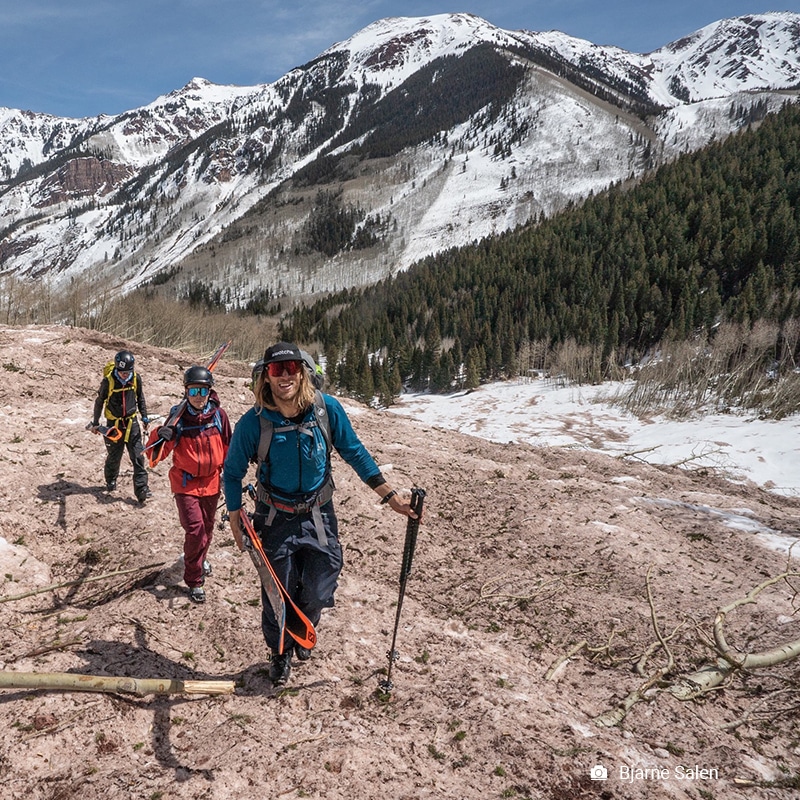
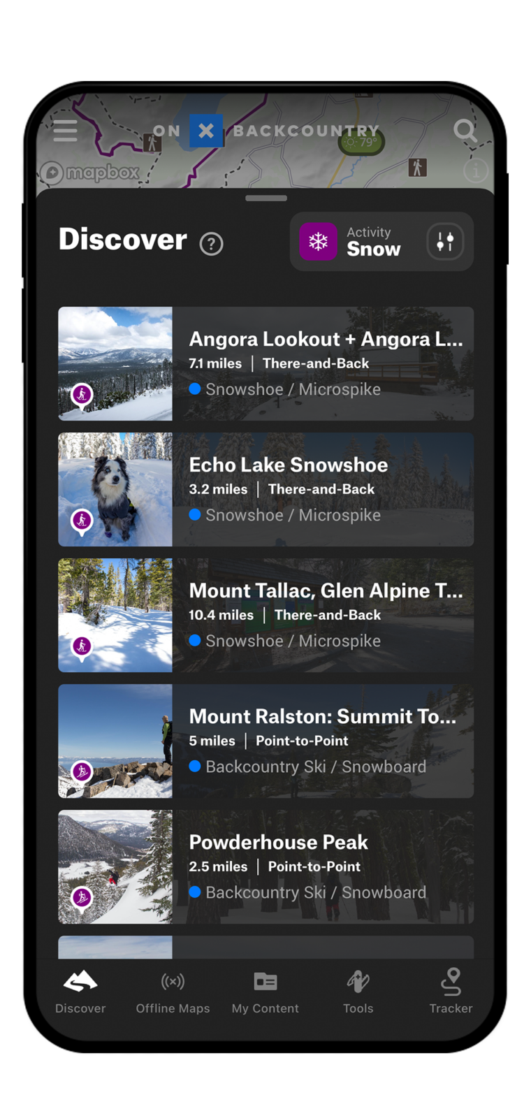
View Hundreds of Backcountry Ski and Splitboard Adventures
onX Backcountry has partnered with Colorado Mountain Club and Beacon Guidebooks to provide unparalleled access to popular backcountry ski routes. View them in our interactive 3D maps for optimal route planning.
Explore Ski Tour Mode
Below is an interactive 3D map of Colorado’s Crested Butte with our The Avalanche Terrain Exposure Scale (ATES) toggled on. Use Control + Drag to rotate, tilt, pan and learn about ATES Terrain ratings. Login or create an account to gain full functionality and find areas like this near you.
Login or create an account to gain full functionality.
Tips & Tricks for using onX Backcountry
Tips & Tricks for using onX Backcountry

Overview | Tips For Planning a Backcountry Tour
Learn how to utilize:
– SNOTEL stations
– Tools for Wind Speed & Direction
– Avalanche Forecasts Layer
– Route Builder Tool
– Waypoints, Markups & Folders
– Sharing Functionalities

Avalanche Terrain Exposure Scale Layer

Slope Angle Shading Layer

Slope Aspect Shading Layer

Recent Imagery Tool

Terrain X Tool

Runout Zones Layer
