How to E-Scout for Backcountry Skiing
In this video, Griffin Post showcases some of the ways he plans a backcountry ski tour before he hits the snow. Whether he’s trying to find navigable terrain, alternative routes, or terrain traps, onX Backcountry can provide valuable beta before the skins hit snow.

Who Is Griffin Post?
Well, as you may remember, he stars in Teton Gravity Research’s latest film, “Stoke The Fire,” where he showcases his immense ability in Alaska’s backcountry. He’s revered for his mapping skills—as well as his fantastic mustache.
The Backyard
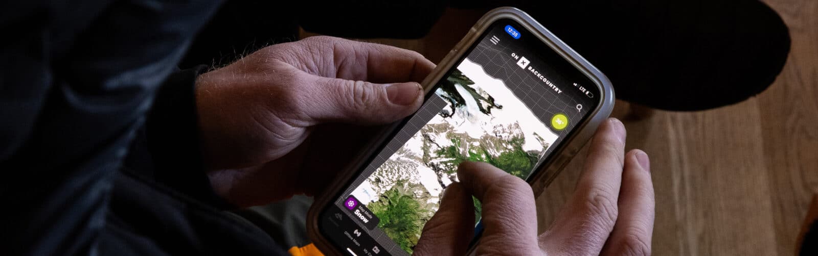
In his home zone around the Tetons, Griffin has a variety of Waypoints scattered about with the wind speed and direction feature turned on. With this, he’s able to decipher where wind-loading is happening, and take proper precautions as it’s one of the major causes of an avalanche. Next, he opens the Slope Angle Layer to take a look at what steepness he’s dealing with. This will not only influence the descent, but also his approach. When evaluating the approach, switching the Slope Angle Layer off and on allows you to cross-reference between what is a safer route with what’s actually feasible using the Basemaps. While a ridge may provide a slightly lower angle approach, there could be obstacles that the satellite map can highlight.
The Approach
For this tour, he’s got his eyes on a sub-peak off of Mt. Moran near Leigh Lake, (sorry for blowing out your spot Griff, but we got it right on the map.) It has a variety of aspects, elevations, and terrain that allows him to get a handle on what the snowpack is like in different scenarios. Beyond that, he’s using the satellite map to evaluate the different types of timber. Thinned out old growth or recent burn zones are significantly easier to travel through than new growth or evergreens—just ask Cody Townsend. The other thing satellite maps provide is a very clear illustration of where avalanche paths are. Straight shots, gullies, and ravines down the mountain are places you want to avoid all together.
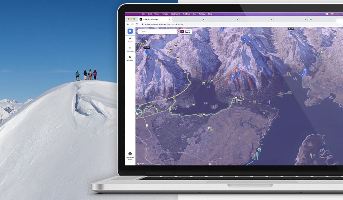
As touched on in other pieces, the thing Post really hones in to are the features that go from green to red to purple really fast. These are examples of connectivity and a slope failing at any angle could trigger something to slide within the steeper area.
Shareability
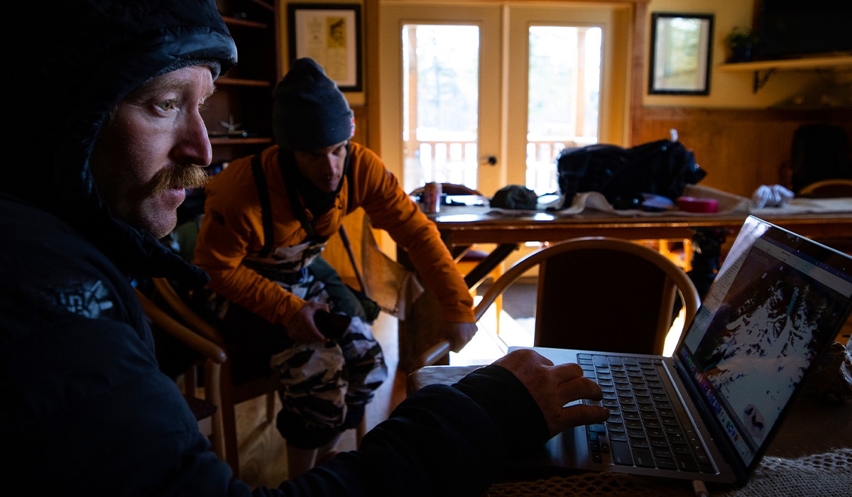
One of the things that makes onX Backcountry so great for ski touring partners is the ability to share Waypoints, Routes, and Tracks with your group. That way, the night before, you can evaluate expectations, ability, and timing for the day—not on the approach, as Post outlines. While you’re at it, make sure to share your objective, route, and vehicle location with someone on the homefront.
Using onX Backcountry, you can Discover new tours, design your own, or follow a friend’s previously established skin track. Before you even leave your living room, have a Plan A, B, and C for your day. And lastly, download your map Offline for the zone in which you’ll be skiing while connected to Wifi. Once you hit the trailhead, go ahead and turn on Tracker to make sure you always know how to get back.
For more resources on avalanche safety, please visit our partner AIARE to find an avalanche course near you.