onX Backcountry Pricing and Options
Better Maps. Better Decisions.
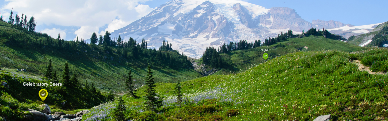
Whether you’re hiking, skiing, mountain biking, or climbing in the backcountry, our app gives you the map detail and real-time insight to make better calls out there. Get 70% off for our Peak Season Sale for a limited time.
Memberships
Elite
Premium
7-day Trial

What You’ll Get
Learn more about what’s included with Free, Premium, and Elite.
| Basic | Premium | Elite | |
|---|---|---|---|
| Dispersed Camping Maps | |||
| Private Land Boundaries and Landowner Names | |||
| Recent Satellite Imagery | |||
| Elite Partner Discounts | |||
| Avalanche Terrain Exposure Scale (ATES) | |||
| Avalanche Simulator and Potential Release Areas | |||
| Offline Access to 3D Maps, Layers, Waypoints, Tracking | |||
| Custom Route Building | |||
| Local Expert-Curated Guidebooks | |||
| Precise SNOTEL Weather Station Data | |||
| Conditions Layers (Slope Angle, Slope Aspect, and Active Wildfires and more…) | |||
| Public Land Boundaries and Designations | |||
| Thousands of Hike, Mountain Bike, and Ski Tour Routes | |||
| Detailed Climbing Area Information | |||
| Recreation Points (campgrounds, boat launches, etc.) | |||
| Topographic, Satellite and, Hybrid Map Layers | |||
| Avalanche Forecasts, Historic Fatalities & Observations | |||
| Pinpoint Weather Forecasts |
Ready for your next adventure?
Start your onX Backcountry membership today.
FAQs
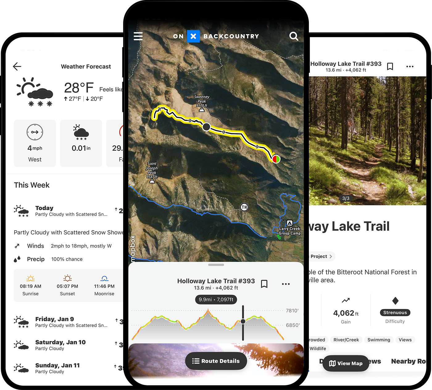
Just like having the right pair of boots, putting reliable offline GPS maps and navigation at your fingertips can be priceless. But don’t take our word for it:
“This app saved my toes! Tried this out when backpacking Big Bend for the first time. Ended up getting snowed into a mountaintop campsite with a historic amount of snow. This app gave us the confidence we were going the right way to return to the base when we couldn’t see any trail or tracks at all and needed to get down in time to prevent frostbite.” — Apple Store 5-star review
Yes: onX Backcountry offers a free version of the App, which includes satellite, topo, and hybrid maps, as well as the ability to Track your trips and add markups.
Free does not include guidebook-quality Adventures, trail descriptions, recreation points, and the ability to download unlimited offline maps for real-time location tracking on the map even outside of cell service. Upgrade to Premium to access all of the App’s adventure potential.
Here at onX we strive to build our apps for a specific use as opposed to a one-size-fits-all approach. onX Backcountry has specific app features like Avalanche Forecasts and Slope Angle for our backcountry ski/splitboard explorers. And for our backcountry trail lovers, we have a rich set of Adventures that have been curated specifically for hikers, trail runners, and backpacking enthusiasts.
The Free version of the Backcountry App includes the ability to use satellite, topo, and hybrid maps, save one offline map, Track trips, and add limited Waypoints.
The Premium Membership includes guidebook-quality Adventures, Featured trails with descriptions and photos, recreation points, and unlimited offline maps.
With Elite, you will be unlocking all Premium features plus property boundaries, landowner names, and lot info (area acres) for the entire United States. onX Backcountry Elite also includes the Recent Imagery Layer with Aerial imagery. Upgrade to Elite to access all of the App’s adventure potential.
The onX Backcountry free trial includes full access to a Elite membership for seven days. During the free trial users will be able to access satellite, topo, and hybrid maps, see guidebook-quality Adventures, discover Featured Trails with trail descriptions and photos, save unlimited offline maps, Track trips, add Waypoints, and share trails and markups with other Backcountry users.