Lanowa
MO, US
- 2.1 mi
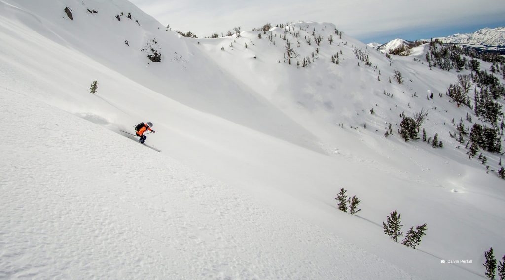
Use the form below to search onX Backcountry
Use the form below to search onX Backcountry
(Waypoints, Routes, Lines Shapes, and Tracks) into the onX Backcountry App Exporting Markups (Waypoints, Routes, Lines, Shapes, and
If your Waypoints, Lines, Tracks, Shapes, or Routes are missing in the onX Backcountry App or Web Map, don't worry—your content
borders with the landowner's name inside the property. Tap inside the property's borders to view more information. Viewing
taken within the past 3 years. Topo Basemap: topography lines showing elevation and land contours (1:24k scale in most areas)
between two points in a straight line, switch to Point Draw. Swipe the menu up to customize the line's name, color, type, or weight
managing agency information. Avalanche forecasts. Private property boundaries with an Elite Membership. A Premium Membership
etc. Important: the Government Lands Layer includes properties owned by federal, state and tribal governments that may
know where you can and can't adventure. Government-owned properties shown in onX aren't always accessible to the public and
the onX Backcountry App or the Web Map. Elite adds private property boundaries and landowner information for all 50 states on
Tracks as GPX—exporting as KML will convert them into Lines. Export Lines and Areas as KML—exporting as GPX will convert them
Tracks as GPX—exporting as KML will convert them into Lines. Export Lines and Areas as KML—exporting as GPX will convert them
the map in the direction you're facing. Line up the blue site cone with the white line and follow it to the Waypoint. Click
Markups—including Waypoints, Lines, Shapes, Tracks, and Routes—don't sync automatically between onX Backcountry, onX Hunt
options. Edit: Change a Markup's icon, colors, line style, or line weight, and trim Tracks or edit Routes. Add to
internet. Keep reading to learn how to build routes, measure line distance, mark locations, and create area shapes in onX Backcountry
Change the line style of a Route, Track, Line, or Shape. Weight: Change the line thickness of a Route, Track, Line, or Shape
features like live GPS location, satellite imagery, Waypoints, Lines, Shapes, and the Tracker are available globally. However,
Topo displays a traditional topographic map with contour lines to show elevation and terrain shape, including HD elevation
downloading the map. Two vertical lines mean the map is currently downloading. Tap the vertical lines to pause the download. A triangle
position, size, and name of each item, but not the color, line style, line weight, notes, or photos. It may take a few minutes
Membership has no impact on your saved Markups—Waypoints, Routes, Lines, Shapes, and Tracks are permanently saved to your account
Basic. You keep: All saved Markups (Waypoints, Routes, Lines, Shapes, and Tracks) and the ability to create new ones.
regularly to add new features, fix bugs, and keep everything in line with your mobile device's operating software. Follow the steps
Markups displayed on the map is a common cause. Waypoints, Lines, Shapes, Routes, and Tracks all use your device's processing
Tap Start to begin recording. As you travel, a blue dotted line will appear on your map. Tap Pause to temporarily stop recording
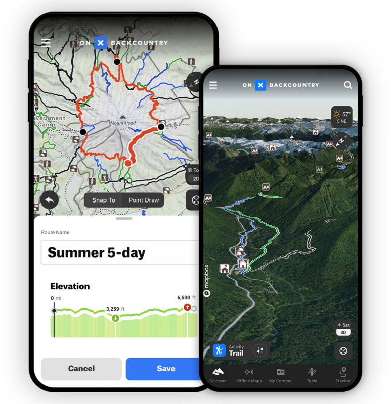
Rich hiking trails, backcountry ski tours, and snowshoe Adventure descriptions PLUS offline GPS navigation and more. Try our 7-Day risk-free trial.
onX Backcountry Take a Hike with Dan Becker Giveaway Official Rules (“Official Rules”) NO PURCHASE NECESSARY TO ENTER OR WIN. The following onX Backcountry Take a Hike with Dan Becker Giveaway (the “Giveaway”) is open to legal residents of the 50 states of the United States of America and the District of Columbia, (the “USA”) only. […]
Giveaway Terms and Conditions Giveaway Overview: How to Enter: Drawing and Notification: Prize Details: ——————————————————————————————————————- NO PURCHASE NECESSARY TO ENTER OR WIN. The following onX Backcountry SUMMER OF ADVENTURE Giveaway (the “Giveaway”) is open to legal residents of the 50 states of the United States of America and the District of Columbia, (the “USA”) only. […]
NO PURCHASE NECESSARY TO ENTER OR WIN. The following onX Backcountry SKI WITH CODY Giveaway (the “Giveaway”) is open to legal residents of the 50 states of the United States of America and the District of Columbia, (the “USA”) only. Any entries received from outside of the USA will not be considered in the Giveaway. […]
NO PURCHASE NECESSARY TO ENTER OR WIN. The following onX Backcountry PLEDGE TO READ THE AVALANCHE FORECAST Giveaway (the “Giveaway”) is open to legal residents of the 50 states of the United States of America and the District of Columbia, (the “USA”) only. Any entries received from outside of the USA will not be considered […]
View the terms, conditions, and rules of the #ExploreAndRestore Challenge presented by onX Backcountry.