Ready to explore this trail?
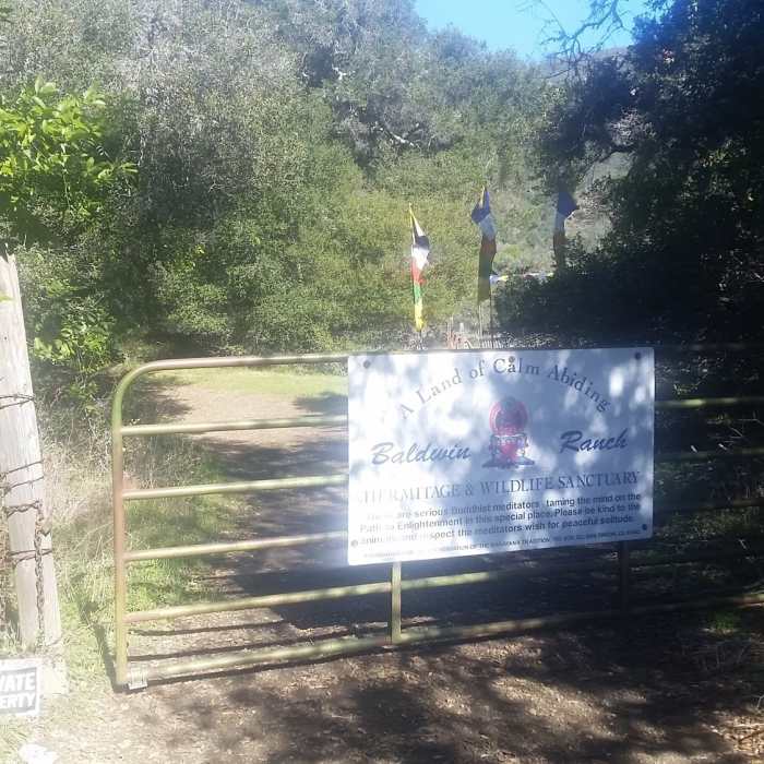
View Trail Map in AppNo vehicles allowed on Bowden Ranch Road except for those accessing the ranch itself. The road is too narrow/rough for most 4wd vehicles; it looks like they get most supplies to the ranch via quad.
Path Type
Point to Point
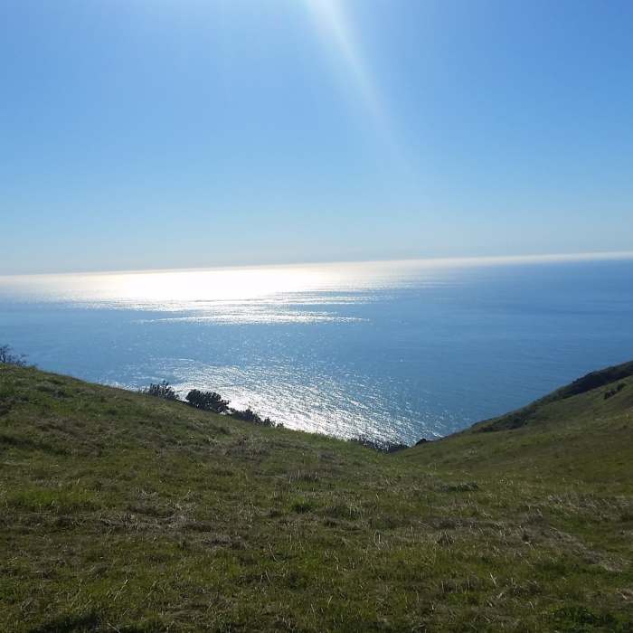
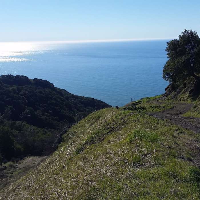
The entrance to Bowden Ranch Road is difficult to find and there is no parking at the trailhead. It is about 200m south of Ragged Point in on Highway 1. There is a small turnoff on the ocean side of the road, and a small driveway with a gate on the opposite side of the road; this is the beginning to the road. Go through the small pedestrian gate to the side of the main gate and stay right at the fork. The next two miles is an intense climb to the top of a ridge-line with amazing ocean views along the way.
The road is well kept but is only wide enough to be considered doubletrack. Upon summiting, there will be a faint road/trail heading right and a more well defined road continuing left; take the defined road on the left. Continue downhill for a half mile to the intersection with County Line Road. County Line Road is faint and heads to the left and uphill, traversing a ridgeline while Bowden Ranch Road begins a precipitous drop on the east side of the ridge.
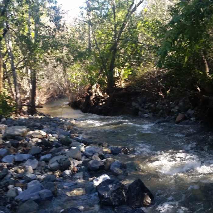
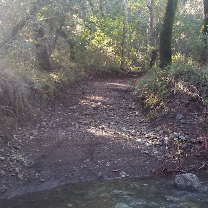
Continue right and downhill on Bowden Ranch Road and drop into a densely wooded, shady oak grove. This section is particularly sharp, but levels off into a meadow with great views of the mountains to the east. The road then joins with a river, which it generally follows until it terminates at Bowden Ranch. There are multiple river crossings during the winter and spring; you'll get your feet wet.
The last 2-3 miles of this trail is exceptionally beautiful during the winter and spring. It's lush, cool, green, and feels very isolated. The road intersects with Spruce Creek Trail and Elk Camp Trail near its terminus, but these trails look to be very overgrown and sparsely used.
No Condition Reports
Vicente Flat Trail
Vicente Flat Trail
Kirk Creek / Vicente Flat Trail
Kirk Creek / Vicente Flat Trail
Limekiln Trail
Limekiln Trail
Limekiln Falls
Limekiln Falls
Hare Creek Trail
Hare Creek Trail
Ewoldsen Loop
Ewoldsen Loop
Contributors

