Ready to explore this trail?
View Trail Map in AppNo off-trail rxhing. Check hunting seasons and dress appropriately.
Path Type
Point to Point
This trail is part of !Sunbridge Hills Conservation Area. The trail begins at the dead-end of Huntoon Road. Roadside parking is available. It's better not to park down by the turnaround where the trailhead is.
The trail begins with some very tight descending turns. It will mellow out for a bit and then there is another steeper part at the end of this flatter section will bring you to the left turn around the corner of the property line.
After a couple hundred feet, there is an intersection with The North Loop. Turn left and continue descending along the fence line. The trail will twist and turn before a corkscrew into the lower section at the bottom of the drainage. Continue another few hundred feet and you'll approach the intersection with the other end of The North Loop. Turn left and cross the creek.
NOTE: The North Loop is still under construction and doesn't currently loop.
The trail will climb up the hill on the other side of the creek. Eventually, as the trail turns south, it flattens out before the next creek crossing. This one is hardly noticeable because of an old well-built farm crossing. Begin the steady climb on the other side. The trail will provide a small break before getting steep again. After one more steepish climb, the trail mellows again.
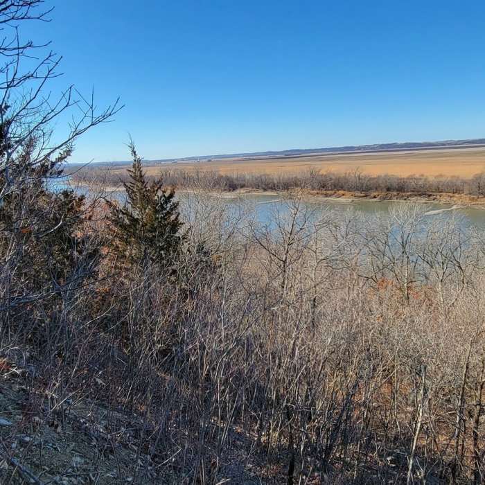
When you get to some deep bench cut on a steep hillside, you are nearing the end. Watch for the turn up the hill to the left to meet up with the main Sunbridge Loop as the Missouri River comes into view.
No Condition Reports
Outer Loop (Blue)
Outer Loop (Blue)
Wallace Loop
Wallace Loop
Wyandotte County Bridal Trail Loop
Wyandotte County Bridal Trail Loop
Rozarks Loop
Rozarks Loop
Rocky Point Glade
Rocky Point Glade
Wudchuck Run (Phases 7 & 8)
Wudchuck Run (Phases 7 & 8)
Contributors

