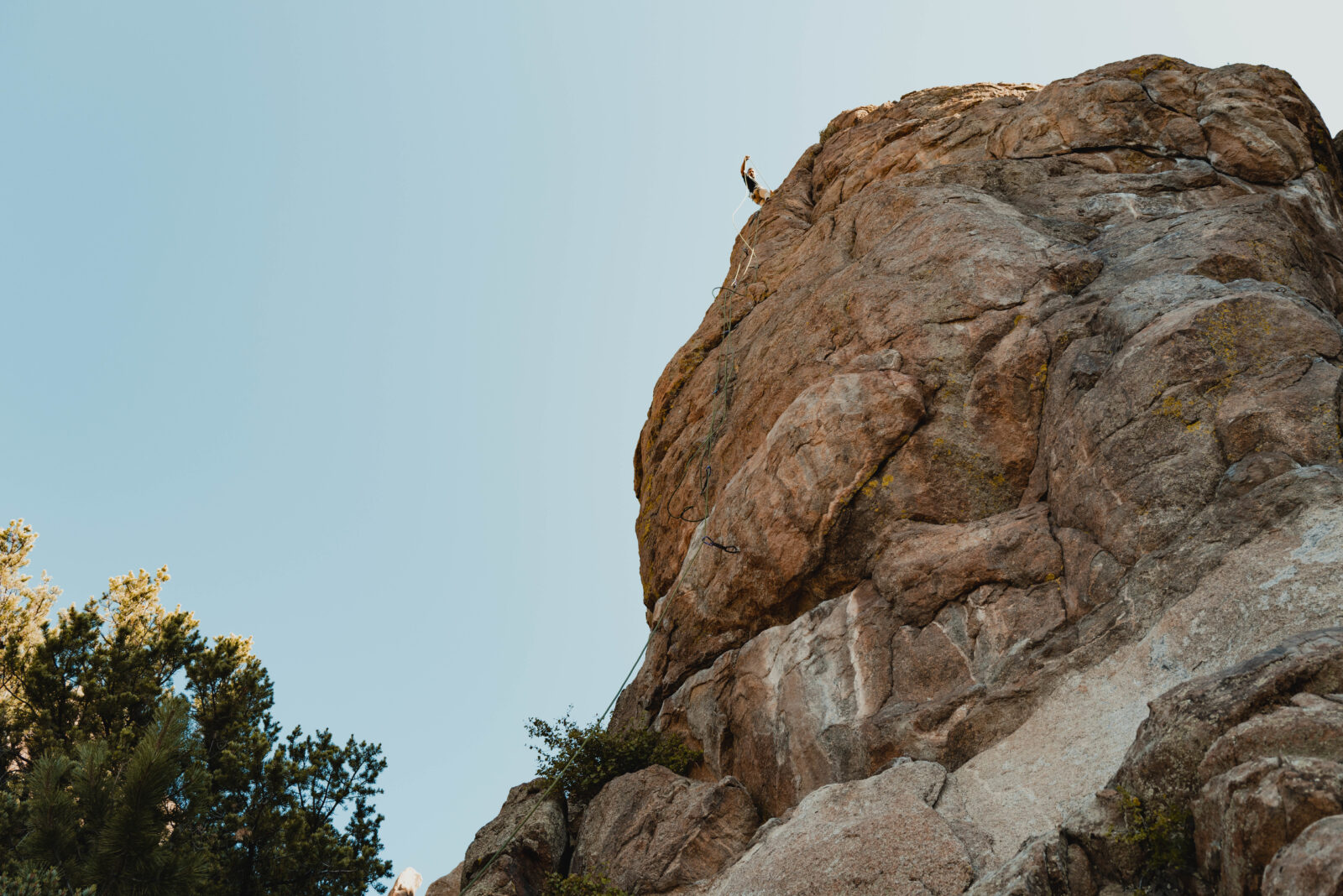
Find Climbing Routes with onX Backcountry
Before your next rock climbing adventure, leverage onX Backcountry, the ultimate rock climbing route mapping app, to plan your next ascent. With detailed rock climbing route maps and a plethora of comprehensive features, onX Backcountry can help you discover your next favorite climbing spot.
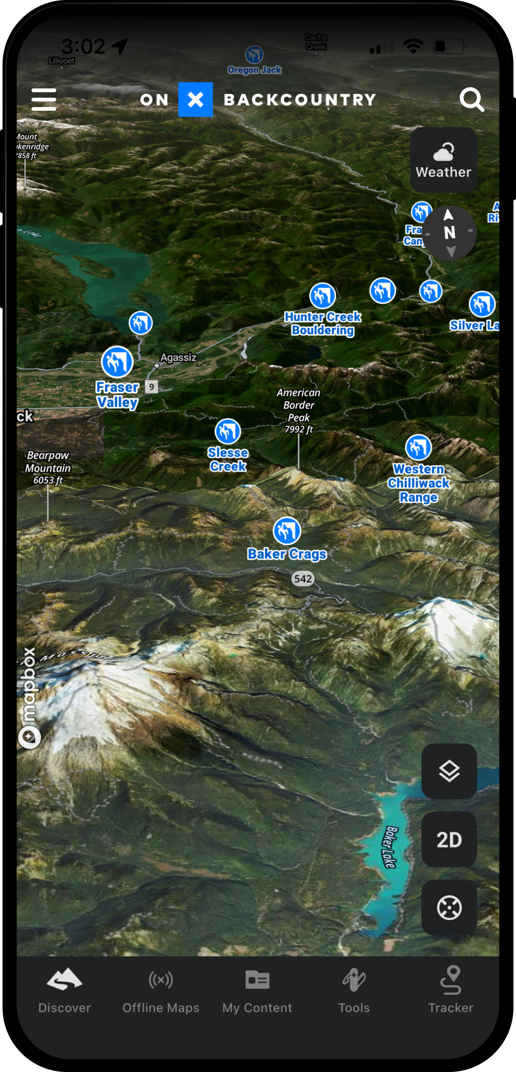
Explore Climb Mode
Below is an interactive 3D map showcasing popular rock climbing area: Yosemite Valley with our Climbing activity mode toggled on. This layer assists you in assessing route challenges and planning your climb.
Use Control + Drag to rotate, tilt, and pan.
Login or create an account to gain full functionality and find areas like this near you..
How to Use onX Backcountry for Rock Climbing
Learn how to maximize onX Backcountry for your next rock climbing adventure. This comprehensive video tutorial will demonstrate how to utilize every feature of the app effectively.

Discover Thousands of Rock Climbing Adventures
onX Backcountry has integrated climbing routes from Mountain Project to provide in depth information and route finding to popular climbing routes. Explore them on our interactive 3D maps for seamless route planning.
Evaluate Hazards with ATES
Ice Climbers can use onX Backcountry’s groundbreaking Avalanche Terrain Exposure Scale layer to determine where avalanche paths may run, and if you’re passing through avalanche terrain. Learn More about ATES
Assess Route Difficulty
Determine the challenge level of your climbing routes with onX Backcountry. Gain insights into the technicality of the route, what gear you’ll need, and anything else you need to know to plan your ascent.

Never Lose Your Way, Even Off the Grid
With OnX Backcountry’s offline maps, you can navigate confidently to your climbing destinations, even when you’re off the grid. Access maps and route details without needing an internet connection, providing peace of mind and enhancing your climbing experience.

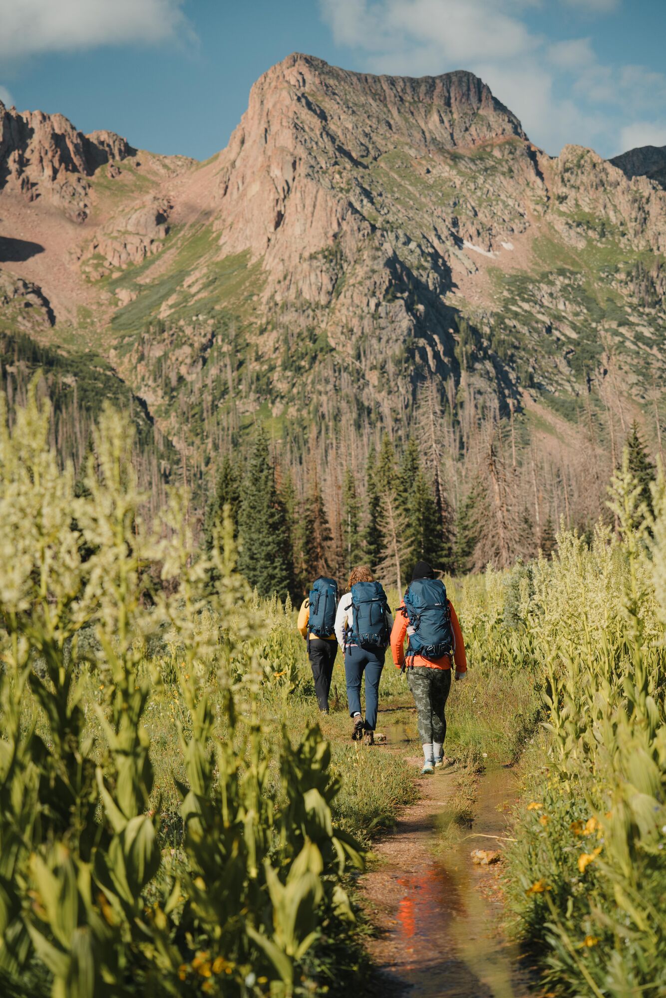
Optimize Your Approach with onX Backcountry
Utilize OnX Backcountry’s trail mapping capabilities to plan your approach to climbing areas with precision. Calculate distances and elevation changes to tailor your route for a safe and efficient journey to the crag.
Know Where You Stand: Access Private and Public Land Data
With onX Backcountry’s detailed private and public land data, you’ll have the knowledge you need to navigate climbing areas ethically and legally. Understand land ownership boundaries and access regulations to ensure you’re climbing in the right place, at the right time. Learn More about Private / Public Lands data.
Other Uses for onX Backcountry


Before your next climbing outing, use onX Backcountry to help you plan your next adventure.