The Beehive State is home to mountains, deserts, and a compelling range of big game hunting. Utah manages some units for mature bull elk with targeted age classes over five years old. These limited-entry hunts are some of the best in the country if you are looking for a trophy-class animal, but the draw odds can be difficult to overcome. Non-residents can apply for all species, including limited-entry deer and general season deer. However, you may not hold more than one limited-entry tag in a calendar year across all species. Up to four hunters can apply as a group for limited-entry deer, elk, and antelope hunts and general season deer hunts.
What’s New in Utah for 2026?
- Utah now has a voluntary e-tagging option for all big game.
- All non-resident fees were increased in 2025 after the big game application period. This will be the first big game application period with the increased non-resident fees that were imposed in September 2026.
- Utah implemented mandatory harvest reporting for all general season hunts beginning in 2025, but did not charge a late fee the first year. Starting in 2026, there will be a $50 late fee for anyone who does not submit their harvest report within 30 days of the last day of the season printed on their license. If you fail to report, you will be ineligible to apply for big game and antlerless hunts for one year. To that end, if you hunted in 2025, you must complete your report to be eligible for 2026 applications.
- Henry Mountain bison hunt dates have been slightly modified to fit in a new cow hunt in 2026. We will not know if there will be a non-resident permit for this hunt until the permit recommendations have been made public in April.
Read more on Huntin’ Fool’s Utah page.
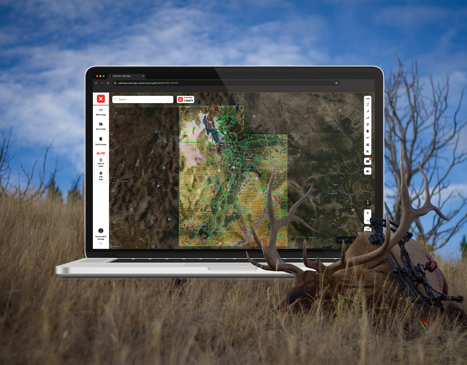
![]()
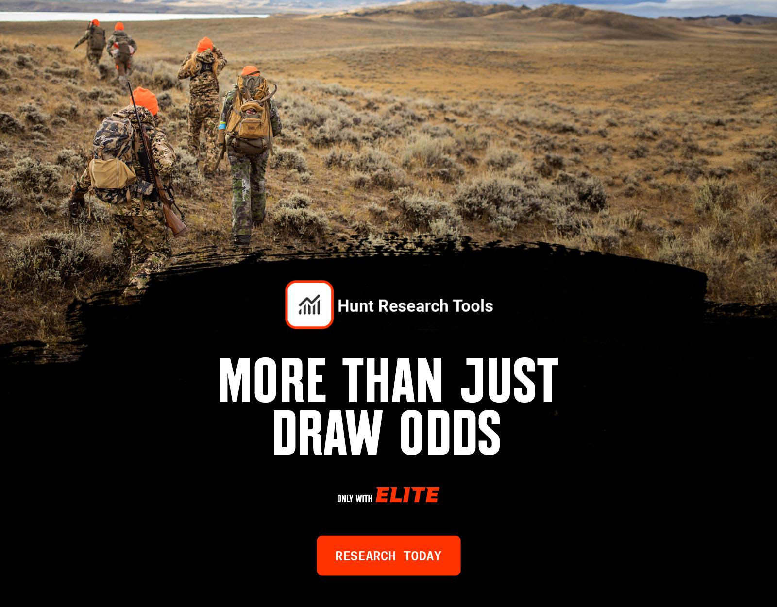
Your Complete System for Securing Tags
Whether you’re chasing a once-in-a-lifetime hunt or just looking to fill the freezer, your season starts with onX Hunt’s application tools—all included with an Elite Membership:
- Hunt Research Tools: Draw odds, tag trends, and harvest stats for 11 western states (Washington is not yet available) to help you decide where to apply.
- Huntin’ Fool: In-depth insights to navigate state-specific systems and build better strategies.
- HuntReminder: Text and email alerts so you never miss a deadline.
One membership, every tool you need to make 2026 the year.

Utah Hunting Draw Dates
The Utah big game application period begins in late March and ends in late April, with draw results available by the end of May.
2026 UTAH DRAW DEADLINES
Black Bear
Bucks, Bulls, Once-in-a-Lifetimes
Antlerless Big Game
Swan
Huntin’ Fool lines out Utah dates and deadlines. Free for onX Hunt Elite Members, HuntReminder’s Utah page is also a resource for timely application season reminders.
Utah Application Season Costs
Hunting license and species costs for tags usually include:
- Hunting license fee. This is required to apply and is $40 for an adult resident basic license and $144 for an adult non-resident basic license.
- Limited-entry big game permit fee. This is what you pay for the animal you want to hunt, and costs vary. For example, a Utah resident pays $314 for a limited-entry bull elk permit, while a non-resident limited-entry Utah elk tag costs $1,950. See Utah’s full fees list for all permit types and species.
- Application fee ($10 for residents; $21 for non-residents).
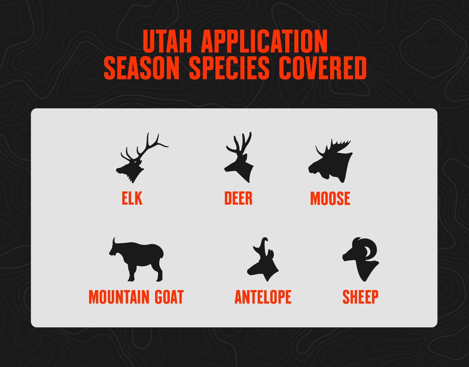
Utah Application Season Species
Utah Draw Odds Overview
Utah uses a bonus point system, but it’s possible to draw a premium big game tag in Utah with no points if you get lucky enough in the random portion of the drawing. A bonus point is awarded for an unsuccessful draw.
Utah has two separate and distinct drawings for mule deer: limited-entry and general. The limited-entry hunts are managed for more mature bucks overall, but are also typically more difficult to draw. The general hunts are available in a different group of units and generally provide for more draw opportunities because of different management objectives.
Point System
- For limited-entry elk, deer, antelope, and once-in-a-lifetime moose (OIL), sheep, and goats, Utah uses a hybrid bonus point system.
- Bonus points are like raffle tickets: the more you have, the more “chances” you have in the draw.
- You get one chance for your current application, and then one additional chance for every bonus point you have (so with three points, you’d get four chances).
- If you apply for a tag and are unsuccessful, you will be awarded a bonus point for that species that will apply to next year’s application.
- Or, you can also choose to apply for a bonus point only each year to accumulate bonus points.
- If you draw your first choice for a limited-entry tag, your bonus points are purged back to zero.
- For general deer tags, Utah uses a traditional preference point system.
- Preference points are like a place in line: first in, first out. The applicants with the most preference points draw before those with fewer.
- You can apply for preference points only and accumulate general deer preference points.
- If you draw your first through fifth choice for general deer, your preference points are purged back to zero.
Tag Allocation
- Non-residents are issued a maximum of 10% of the total tags for a given hunt code.
- For limited-entry and OIL tags, 50% of the total number of tags for that hunt will be awarded to the applicants with the most bonus points.
- The remaining 50% of tags for any given hunt code will be issued in the random draw.
- If the resident or non-resident total quota is an odd number, the extra tag will be issued in the bonus point draw.
- But if there is only one tag available in total, it will be issued in the random draw.
- 100% of the general deer tags per hunt code are issued to the applicants with the most preference points.
- 20% of the total general deer buck tags are allocated to the youth drawing.
- You can apply for both a limited-entry and a general deer tag, but if you draw a limited-entry deer tag, your general deer tag application will not be considered (but you will still get a preference point).
- You can only hold one limited-entry or OIL tag per year. The draw order is limited-entry deer, elk, antelope, OIL species (sheep, moose, mountain goat, bison), youth general deer, and then general deer.
Resources
- Review the application season tools you get with onX Hunt Elite.
- View Utah hunting regulations.
- Apply for your Utah hunting tags.
- Check your Utah draw history.
- Read Utah hunting news and updates.