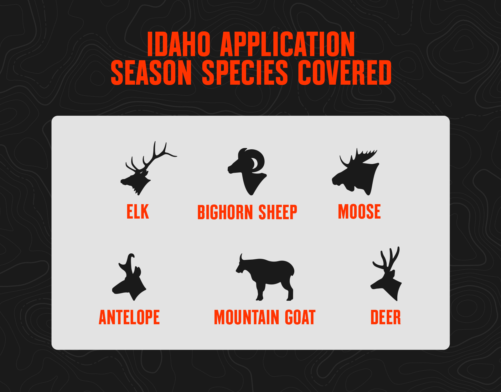
Nicknamed “the Gem State” since its days as a territory, Idaho is known in hunting circles for its diverse terrain, vast public land, and hunting opportunities. Big game hunters can expect to target elk, deer, pronghorn, black bears, mountain lions, wolves, moose, mountain goats, and bighorn sheep.
What’s New in Idaho for 2026
The big change for Idaho in 2026 was the new draw process for non-resident general deer and elk tags, which replaced the first-come, first-served over-the-counter rush. To obtain a deer or elk tag for the 2026 season, non-residents had to apply for their tag during the December 5-15, 2025, application period in the random lottery draw. Applicants were required to purchase a hunting license to apply, and there was no application fee.
Draw results were announced January 6, 2026, and successful applicants had until January 20, 2026, to decide whether to purchase the tag. Any tags that went unpurchased were rolled into a second application window, open February 5–15, 2026.
For those interested in applying for 2027 general tags, the same process will begin on December 5, 2026. A May 2026 commission meeting will determine if an $18 application fee will be added for the upcoming drawing.
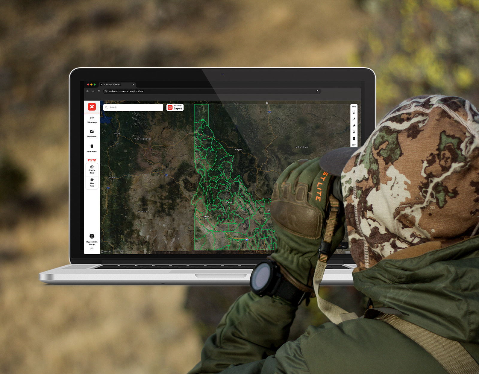
For more details on Idaho’s non-resident elk and deer tag application processes, go a layer deeper with Huntin’ Fool in the below on-demand Masterclass.
![]()
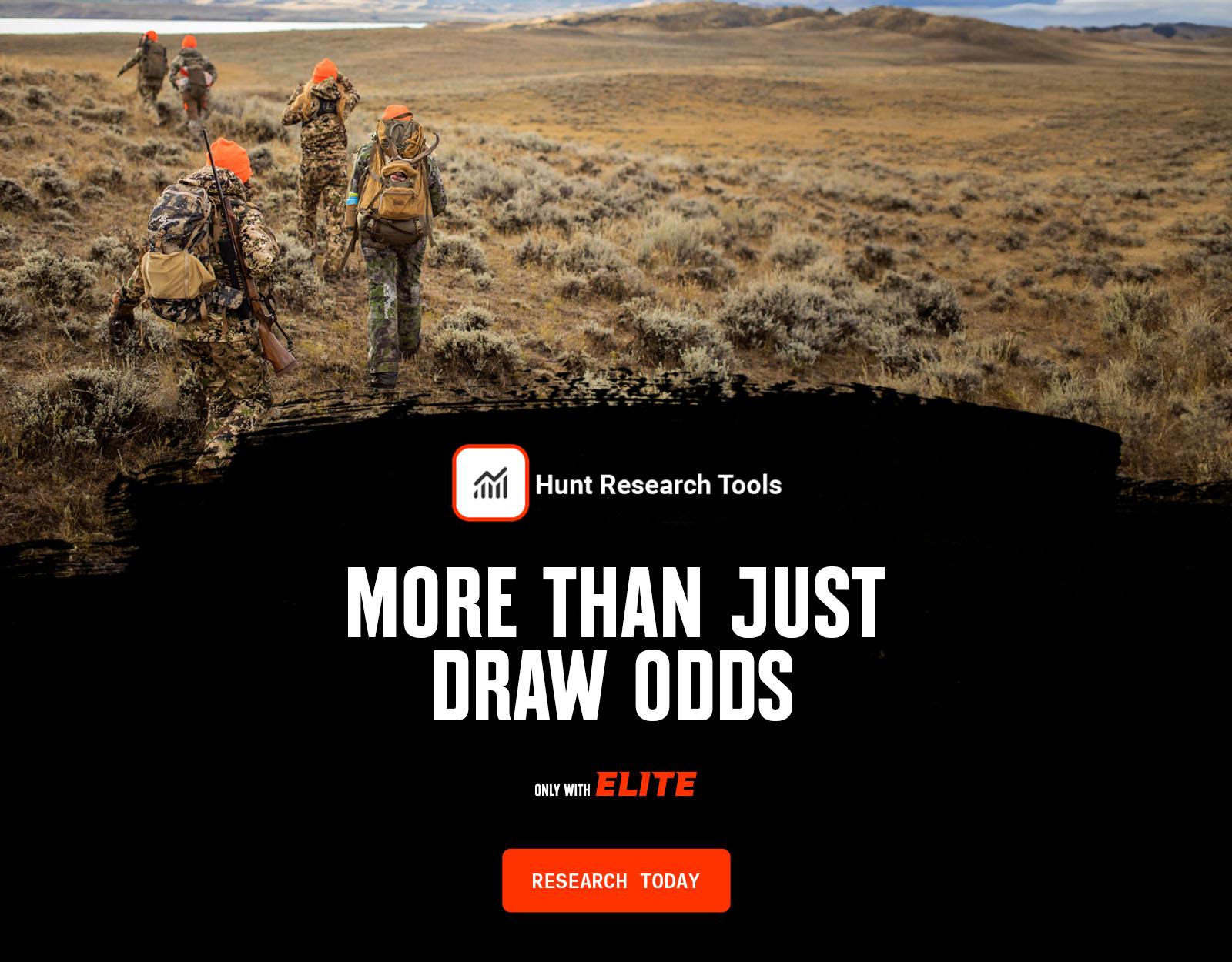
Your Complete System for Securing Tags
Whether you’re chasing a once-in-a-lifetime hunt or just looking to fill the freezer, your season starts with onX Hunt’s application tools—all included with an Elite Membership:
- Hunt Research Tools: Draw odds, tag trends, and harvest stats for 11 western states (Washington is not yet available) to help you decide where to apply.
- Huntin’ Fool: In-depth insights to navigate state-specific systems and build better strategies.
- HuntReminder: Text and email alerts so you never miss a deadline.
One membership, every tool you need to make 2026 the year.
Idaho Application Season Dates
Idaho has three draw application periods:
- For elk and deer general 2026 tags, Idaho held a draw for non-residents only. Applicants bought a hunting license to participate in the draw, with the application period running from December 5, 2025, to December 15, 2025. Results were announced in January.
- The second application period is for moose, bighorn sheep, and mountain goat, and the application period ends April 30, 2026, with draw results available late May.
- The last draw period is for controlled elk, deer, and antelope tags. The application period runs from May 1 to June 5, with results available in early July. Idaho has no point system for hunters; all controlled tags are issued in a random drawing, and therefore all applications have an equal chance.

2026 IDAHO DRAW DEADLINES
Non-Resident General Elk & Deer Draw
Spring Bear
Moose, Sheep, & Goat
Super Hunt Tags First Draw
Deer, Elk, & Antelope (Tentative Date)
Resident Capped Elk Tags Available
Resident Sawtooth Elk Tags Available
Deadline to pick up Controlled Tags Drawn
Super Hunt Tags Second Draw
Deer, Elk, & Antelope Leftover Draw
Idaho Application Season Cost Overview
Hunting license and species costs for tags usually include:
- Application fee.
- Hunting license fee (need a qualifying license before you can apply). For non-residents, Idaho’s hunting license fee is $185. Add in the required $10 access and depredation fee, plus processing fees, and the total comes out to about $205.
- Species fee (only paid once the tag is drawn). For non-resident adult hunters, an elk tag runs $651.75, and a deer tag is $351.75.
- Archery and muzzleloader hunters must also purchase a permit. For residents, it’s $19.50; for non-residents archery and muzzleloader permits are $81.75.
Idaho Application Season Species
Idaho Draw Process 101
Point System
- Idaho does not have a point system. All tags are issued via random drawing, and all applicants have an equal chance.
Tag Allocation
- Up to 10% of the total tag quota for controlled hunt permits can be issued to non-residents per species.
- If a controlled hunt has 10 or fewer permits, only one tag may be given to non-residents.
- You may only apply for one of the following: moose, bighorn sheep, or mountain goat.
- If you apply for moose, sheep, or goat, you cannot apply for limited-entry controlled hunts for deer, elk, or antelope unless there are unlimited permits available for the hunt.
Resources
- View Idaho Hunting Regulations.
- Apply for Your Idaho Hunting Tags.
- Read Idaho Hunting News and Updates.
Idaho Application Tips
- If you are a non-resident interested in moose, you should be applying in Idaho—though drawing a tag is never easy, Idaho does have the best moose draw odds in the Lower 48.
- The 10% total species cap has a meaningful impact for non-residents applying for moose, sheep, and mountain goat hunts. That’s why you see hunts for these species that have non-resident applicants, but no tags drawn. If there are 100 total sheep permits available, that means a maximum of 10 tags can be given to non-residents across all sheep hunt codes. So don’t assume that because a particular hunt didn’t give a non-resident tag last year that you shouldn’t apply for that hunt this year.
- If you plan to hunt big game in Idaho, consider picking up a wolf permit for $31.75. Unlimited tags are available and can be purchased at participating retailers.
- If you want to hire an outfitter if you draw a tag, make sure an outfitter is available for the hunt/unit you apply for. Idaho’s system is unique, and many areas do not have an outfitter-licensed guide at this time.