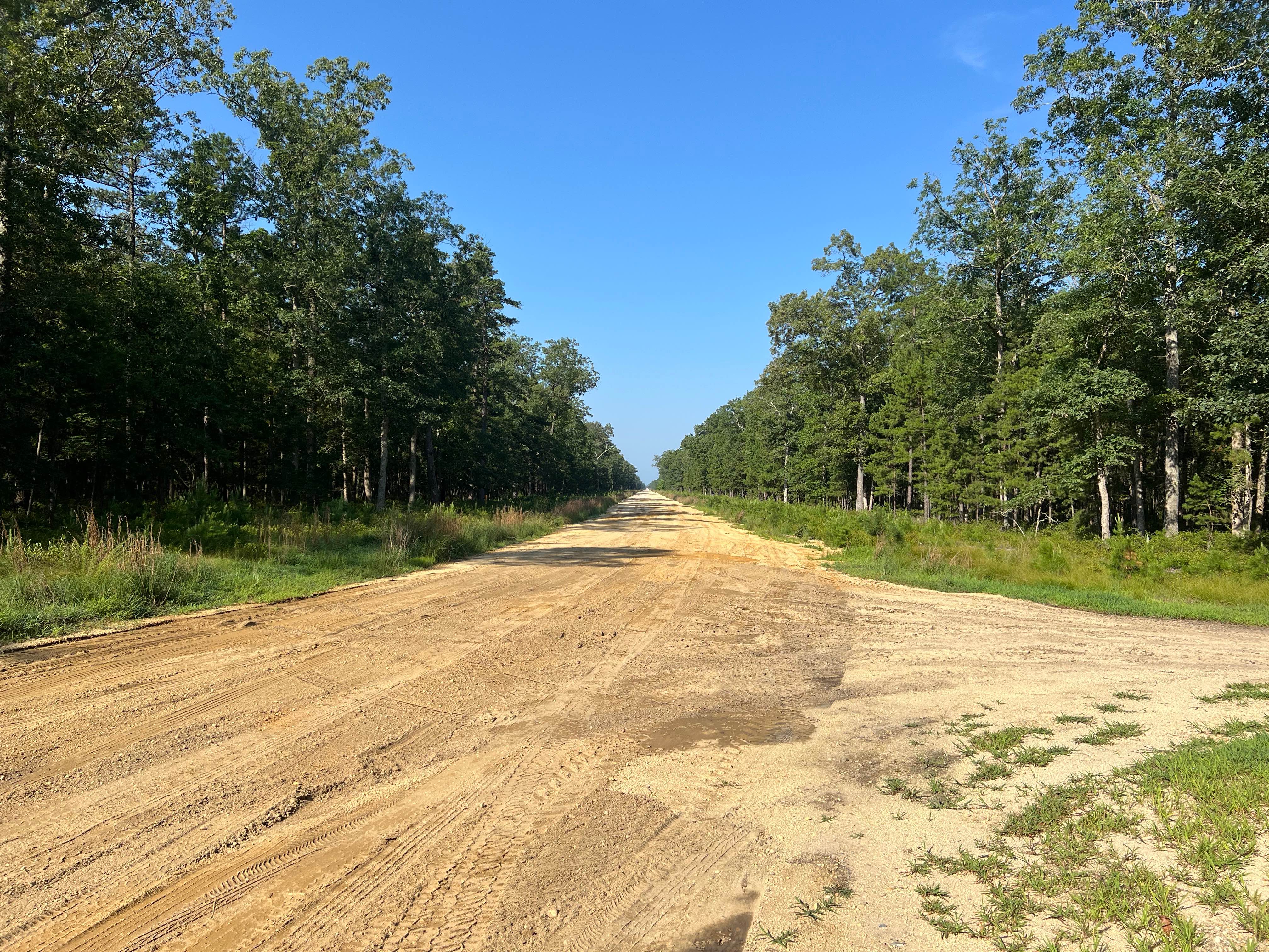
Off-Road Trails in New Jersey
Discover off-road trails in New Jersey
Learn more about Savoy Boulevard Return
Savoy Boulevard Return
Total Miles
12.3
Tech Rating
Moderate
Best Time
Spring, Summer, Fall, Winter
Learn more about Sleepy Creek Trail
Sleepy Creek Trail
Total Miles
3.5
Tech Rating
Easy
Best Time
Spring, Summer, Fall, Winter
Learn more about South Bend to Iron Pipe
South Bend to Iron Pipe
Total Miles
5.3
Tech Rating
Moderate
Best Time
Winter
Learn more about Stokes Connector 
Stokes Connector
Total Miles
0.5
Tech Rating
Easy
Best Time
Summer, Spring, Fall, Winter

Learn more about Three Bridge Road
Three Bridge Road
Total Miles
1.5
Tech Rating
Easy
Best Time
Spring, Summer, Fall
Learn more about Tuckerton Road Trail
Tuckerton Road Trail
Total Miles
8.4
Tech Rating
Easy
Best Time
Summer, Spring
Learn more about Tuckertown Railroad Extension
Tuckertown Railroad Extension
Total Miles
2.4
Tech Rating
Moderate
Best Time
Summer, Fall
Learn more about Tulpehocken Creek Trail
Tulpehocken Creek Trail
Total Miles
3.8
Tech Rating
Easy
Best Time
Spring, Summer, Fall, Winter
Learn more about Two Towers Loop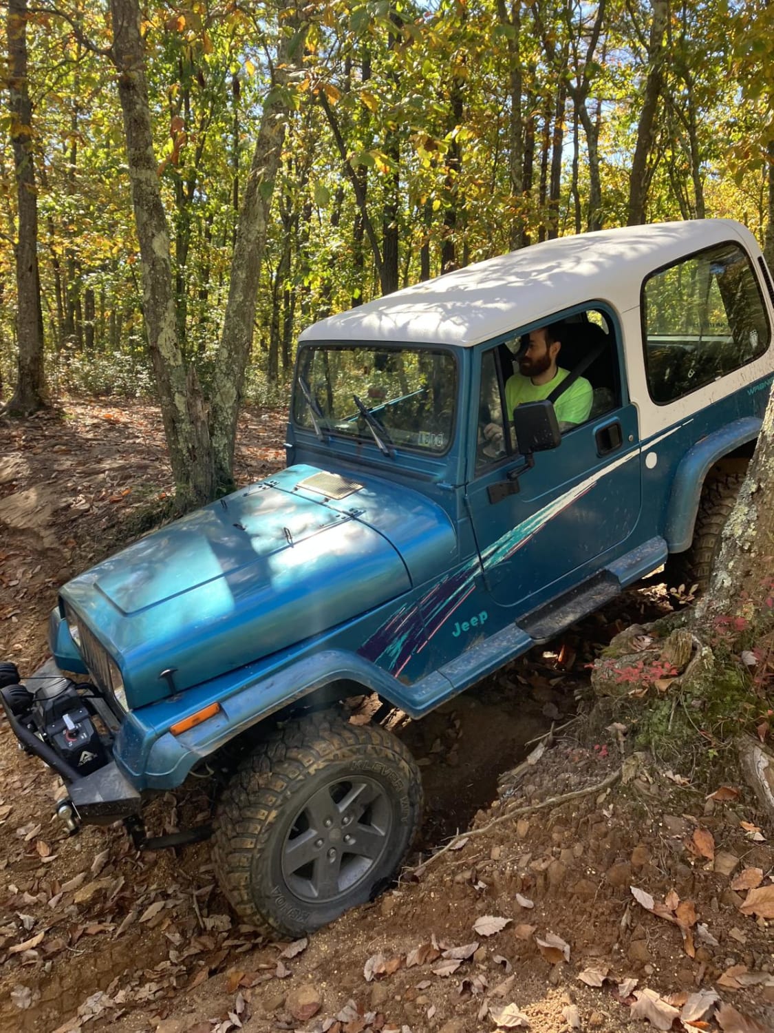
Two Towers Loop
Total Miles
5.4
Tech Rating
Easy
Best Time
Spring, Summer, Fall, Winter
Learn more about UTT Connector Trail
UTT Connector Trail
Total Miles
2.0
Tech Rating
Easy
Best Time
Spring, Summer, Fall, Winter
Learn more about Washington Speedwell Road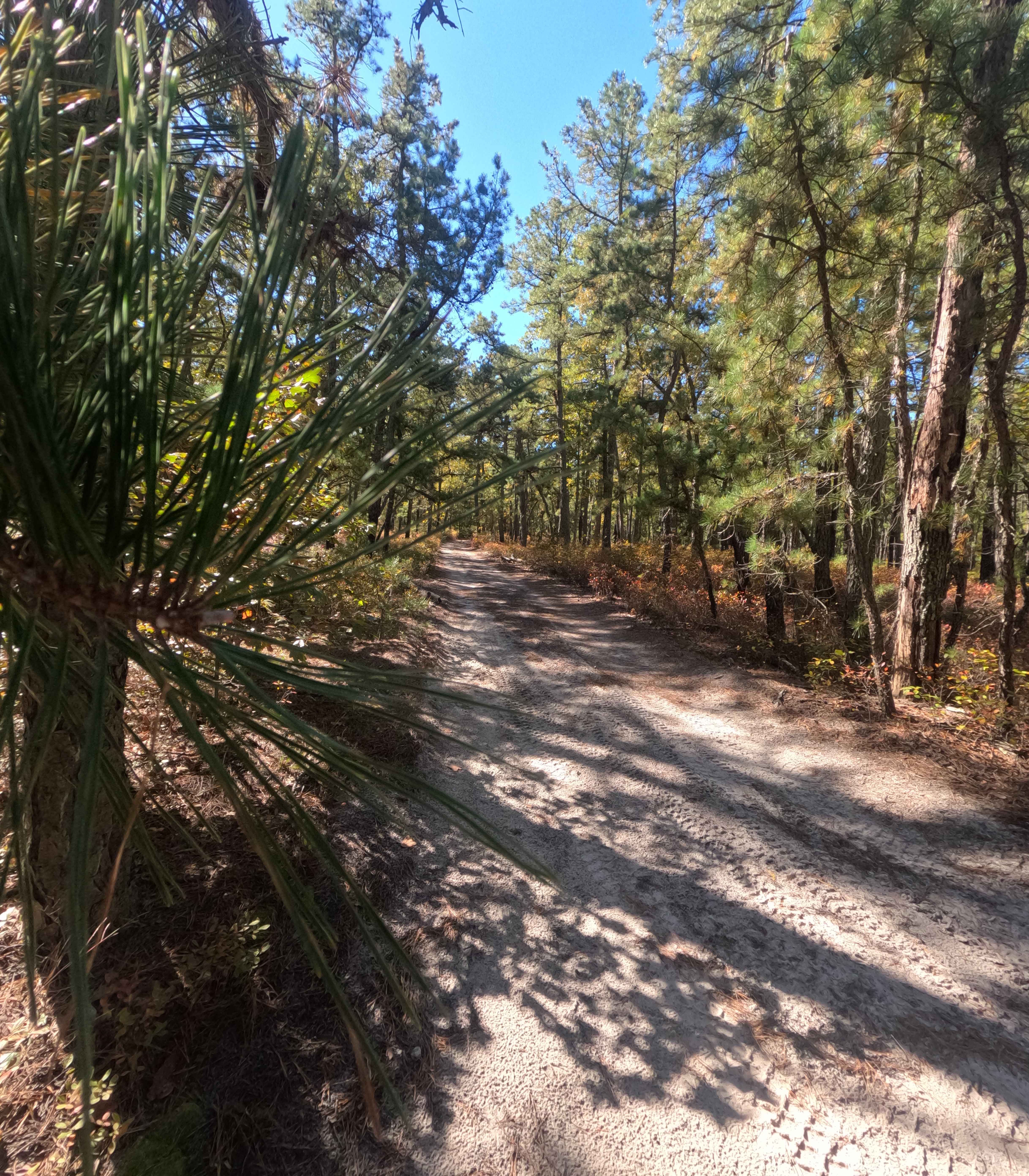
Washington Speedwell Road
Total Miles
1.6
Tech Rating
Moderate
Best Time
Fall
Learn more about Webb Mill Road to 539
Webb Mill Road to 539
Total Miles
6.0
Tech Rating
Easy
Best Time
Spring, Summer, Fall, Winter

Learn more about Whitesbog Village Trail
Whitesbog Village Trail
Total Miles
3.8
Tech Rating
Easy
Best Time
Summer
ATV trails in New Jersey
Learn more about Apple Pie Fire Tower Trail
Apple Pie Fire Tower Trail
Total Miles
2.5
Tech Rating
Easy
Best Time
Spring, Summer, Fall, Winter
Learn more about Batsto Fireline Trail
Batsto Fireline Trail
Total Miles
8.0
Tech Rating
Moderate
Best Time
Summer
Learn more about Battie Trail 
Battie Trail
Total Miles
1.1
Tech Rating
Easy
Best Time
Spring, Summer, Fall, Winter
UTV/side-by-side trails in New Jersey
Learn more about Apple Pie Fire Tower Trail
Apple Pie Fire Tower Trail
Total Miles
2.5
Tech Rating
Easy
Best Time
Spring, Summer, Fall, Winter
Learn more about Batsto Fireline Trail
Batsto Fireline Trail
Total Miles
8.0
Tech Rating
Moderate
Best Time
Summer
Learn more about Battie Trail
Battie Trail
Total Miles
1.1
Tech Rating
Easy
Best Time
Spring, Summer, Fall, Winter
The onX Offroad Difference
onX Offroad combines trail photos, descriptions, difficulty ratings, width restrictions, seasonality, and more in a user-friendly interface. Available on all devices, with offline access and full compatibility with CarPlay and Android Auto. Discover what you’re missing today!