
Off-Road Trails in New Jersey
Discover off-road trails in New Jersey
Off-Road Trails in New Jersey
Discover the best off-road trails in New Jersey. Browse trail maps, check difficulty ratings, and find your next adventure — whether you're looking for a quick ride or an all-day expedition.
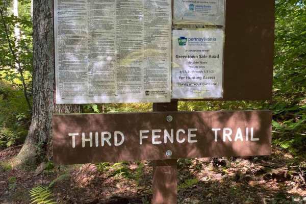
Greentown Sale Road
"Easy, seasonal forest road on the Delaware State Forest. It starts in a small dirt lot off Old Greentown Road. The trail opens just before the state archery season in the fall and closes in early winter. The trail is a narrow woodland path. Downed branches will be encountered. A few muddy areas may...
Learn more about Greentown Sale Road
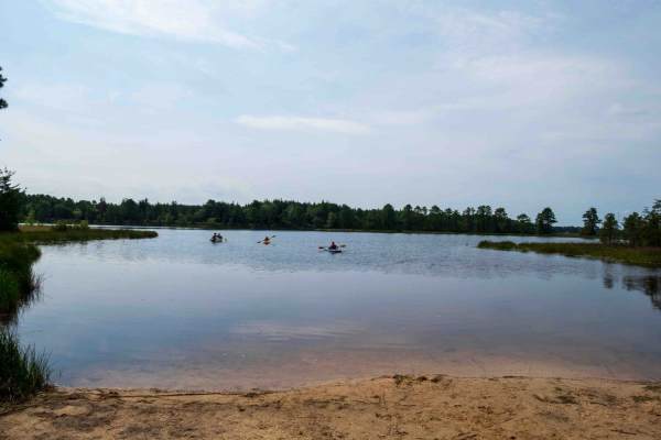
Lake Atsion to Lake Oswego
This scenic 20.2-mile route from Lake Atsion to Lake Oswego serves as an ideal introduction to Wharton State Forest and the Pine Barrens, making it perfect for beginners, families, and drivers seeking a relaxing day trip. Winding through the unique ecology of southern New Jersey, the trail features ...
Learn more about Lake Atsion to Lake Oswego

Batsto Fire Tower to Quaker Bridge
Typical Pine Barrens forest, though with fewer water features. The route can be run either north to south, Quaker Bridge to Batsto Fire Towner, or in reverse. The trail is uneven and depressions do collect water, though puddles here are generally less deep than other areas of Wharton State Forest. I...
Learn more about Batsto Fire Tower to Quaker Bridge
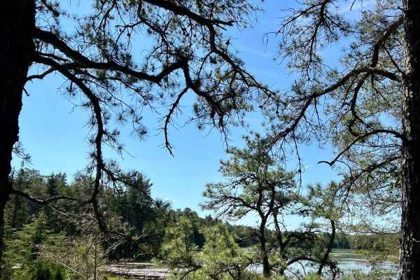
Atsion Lake to Batsto Lake
A nice trip in the Pine Barrens with some opportunities to stop along the Batsto River and Batsto Lake. The route can be run either north to south, Atsion to Batsto, or south to north, Batsto to Atsion. Both ends of the trip have relatively large unpaved parking areas to meet friends or attend to ve...
Learn more about Atsion Lake to Batsto Lake
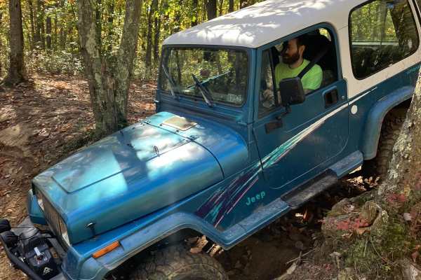
Two Towers Loop
The trailhead for the Two Towers Loop is accessed from Reed Rd. You will see wild animals from the adjacent Six Flags safari park. Once you turn onto the trails you will be on soft Pine Barren sand and dirt. This terrain varies with the seasons-deep in the summer, loose in the fall and firm in sprin...
Learn more about Two Towers Loop
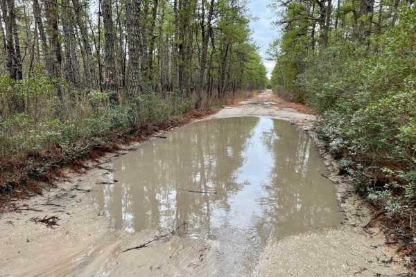
Bear Swamp Hill Loop
Drive the perimeter of the small Penn State Forest starting near scenic Oswego Lake and visit Bear Swamp Hill summit, which is one of the higher points in the Pine Barrens. The terrain is typical for the area being mostly flat. The trails are gravely sand, and you can expect lots of puddles large an...
Learn more about Bear Swamp Hill Loop
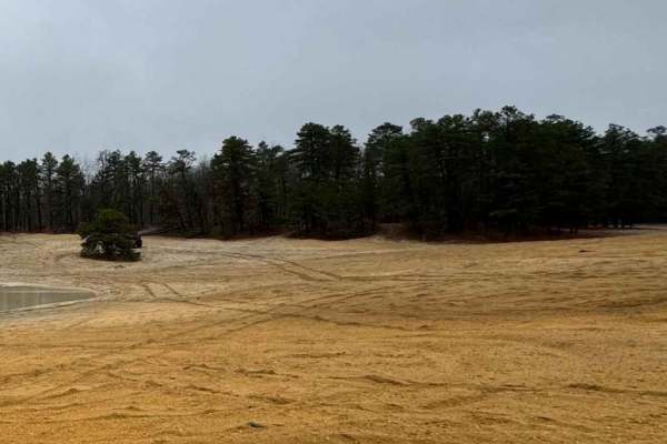
Brendan T. Byrne to Bear Swamp Hill
This trail begins in the Brendan T. Byrne State Forest and ends at Bear Swamp Hill Loop. The trail runs northeast, turns south, and transitions southwest. The beginning is located on Route 72, turning into the forest, and ends at the Atsion Ranger Station. It provides a 26-mile ride through the dens...
Learn more about Brendan T. Byrne to Bear Swamp Hill
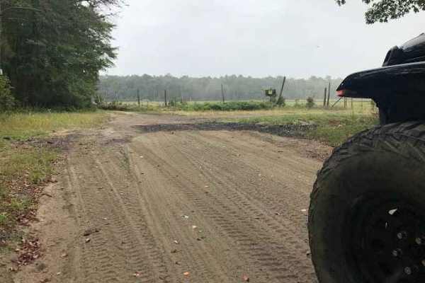
Stokes Trail
Moderately easy trail running about 4-5 miles in length. The trail is rather smooth and easy when dry but is prone to flooding. The southern end of the trail contains heavily whooped sections that can make it easy for you to bottom out if you do not take your time. You can also access sections of th...
Learn more about Stokes Trail
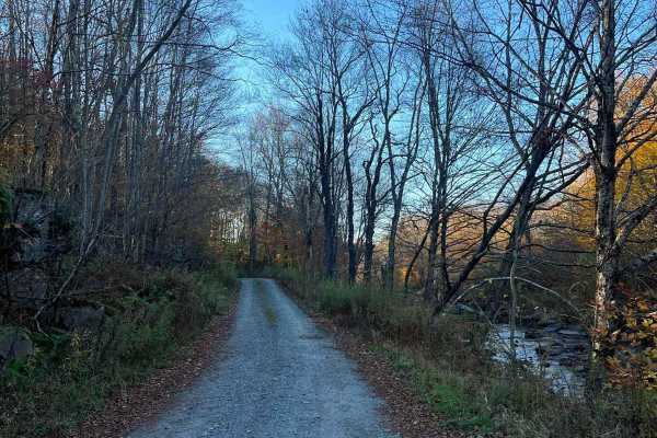
Plank Road
Easy dirt/gravel trail that travels along the headwaters of the Lehigh River through Game Lands. The trail is slightly graded but has multiple deep potholes and puddles. A few narrow sections will require backing up if you meet another vehicle. Multiple. The trail will not be cleared after snow in W...
Learn more about Plank Road
Stokes Connector
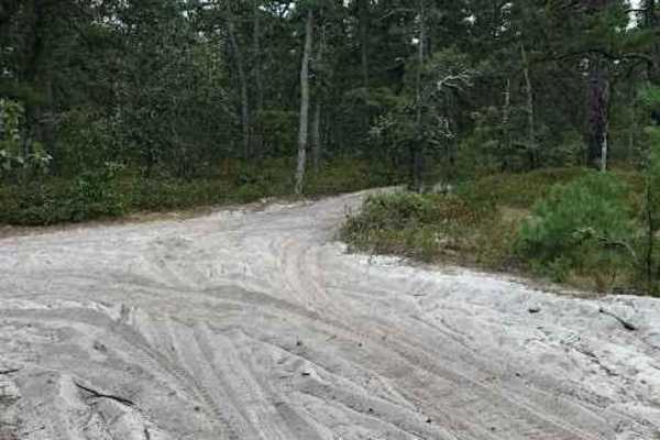
This is a very short and very rough trail connecting two main trails of the Wharton State Forest. This trail is bumpy and tight but does open up mid-way to a clearing that would be a great stop for some lunch or a place to relax. There is a small stream that may vary depending on rainfall and it is ...
Learn more about Stokes Connector
Battie Trail
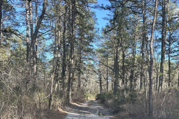
The trail is a shortcut route between two larger roads. It is a flat trail just sand and gravel, with very slight grading, and can become narrow at times so be careful driving something wide through the trail. This is also one way with so be careful when driving down for oncoming traffic.
Learn more about Battie Trail
Whitesbog Village Trail
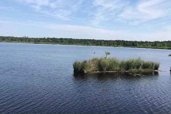
This is an open easy trail through Whites Bog Village and the Bogs in the area. These are maintained bog roads that require no special skill or vehicle to navigate. Along this loop, you will encounter many other drivers, fishing, wildlife, and other colorful scenery. This trail is open only during d...
Learn more about Whitesbog Village Trail
Muddy Road Trail
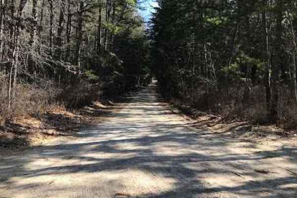
Muddy Road Trail is a trail within the Brendan T. Byrne State Forest. This trail routes you around the back side of Pakim Pond and a picnic area. This short trail is 2.1 miles long and contains multiple deep water/mud holes and a tight winding trail. You can access this trail from either Coppers Roa...
Learn more about Muddy Road Trail
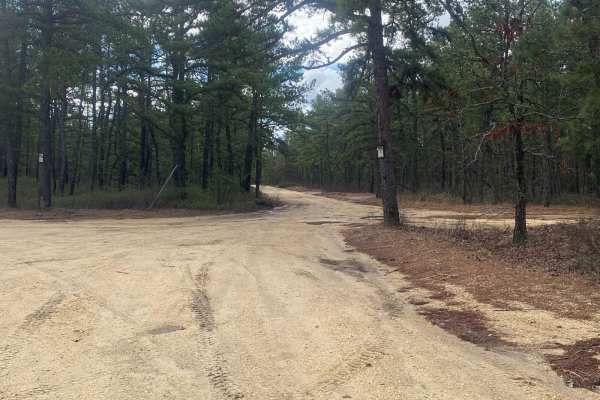
Tuckerton Road Trail
Tuckerton Road Trail is part of a network of trails within Wharton State Forest. This trail varies depending on the amount of rain. The difficulty of the trail is about a 3. It consists of a variety of terrain, from hard-packed sand to large spans of water (usually no more than 2 feet deep) to soft-...
Learn more about Tuckerton Road Trail
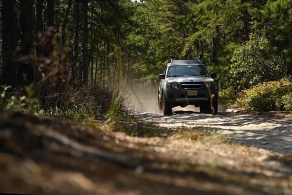
Whitehorse Road
Whitehorse Road is located in the Wharton State Forest Section of the New Jersey Pine Barrens. The trail starts off with mild ruts/holes that typically is filled with water. The rest of the trail is deep sand with the occasional whoop filled potentially with water up to 24 inches. The end of the tra...
Learn more about Whitehorse Road
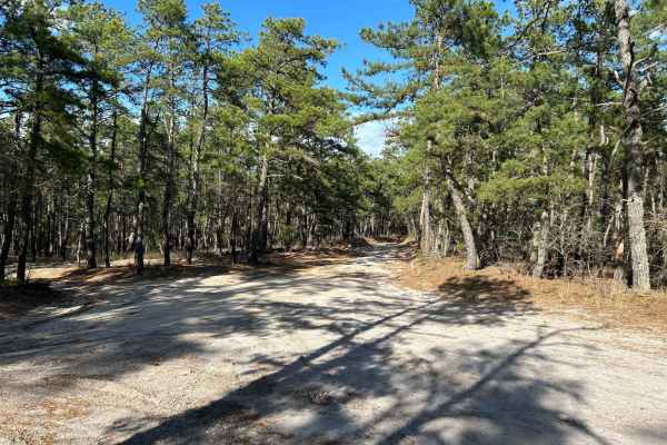
Marcus Trail
The trail is a mostly flat trail, with a mix of gravel and sand. There are a couple of whoops that are extremely mild and some dips. There is a water source close by that after a big rain that brings the possibility of flooding after heavy rains.
Learn more about Marcus Trail
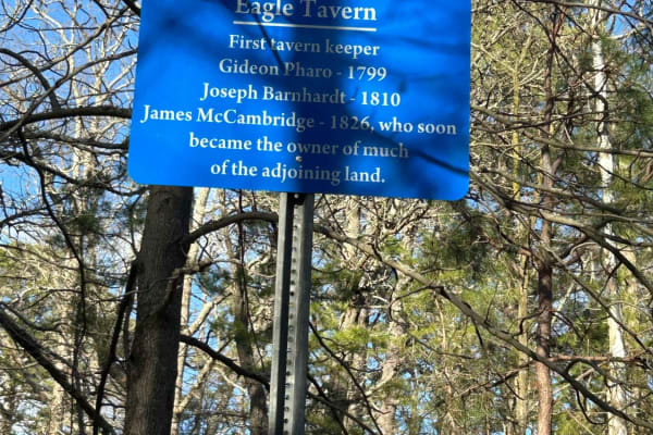
Apple Pie Fire Tower Trail
This trail is mostly sand and light gravel. Coming into the trail off Ringler Avenue, about 1.5 miles in, you will see Apple Pie Fire Tower. If there is a ranger in the tower, you are free to climb up there. On a clear day, there are views for miles, and you can see Atlantic City and Philadelphia. F...
Learn more about Apple Pie Fire Tower Trail
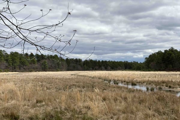
Bryant to Hays Road
Enter off 539. The trail is mostly sand and gravel and is somewhat flat. About a quarter mile in, there is a depressed campsite. After it rains, you can expect pools of water large and small. Some have go-around areas; the best practice is to stay on the outside of them. There can be ruts in the mid...
Learn more about Bryant to Hays Road
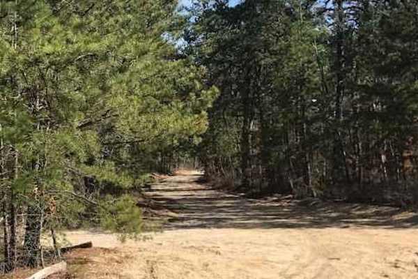
Glassworks Trail
Glassworks Trail is part of a trail network in the Brendan T. Byrne State Forest. This trail connects you from Egg Harbor Road Trail to Route 70. The diversity of this trail ranges from hard-packed sand and small washout water crossings to mud holes. It spans about 4.5 miles and takes about 30 minut...
Learn more about Glassworks Trail
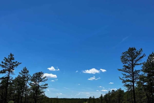
Forge Road to Wharton State Forest
This is a great trail through the New Jersey Pine Barrens that's easy to get to and easy to drive, taking you through Bass River State Forest and Wharton State Forest. You can either start off of Route 539 or 679. The trail is all dirt with some sandy sections where 4WD may be needed. The Forestry D...
Learn more about Forge Road to Wharton State Forest
ATV trails in New Jersey
Explore ATV-friendly trails in New Jersey. These trails are accessible for vehicles up to 50 inches wide, perfect for ATVs and smaller off-road machines.
Two Towers Loop
The trailhead for the Two Towers Loop is accessed from Reed Rd. You will see wild animals from the adjacent Six Flags safari park. Once you turn onto the trails you will be on soft Pine Barren sand and dirt. This terrain varies with the seasons-deep in the summer, loose in the fall and firm in sprin...
Learn more about Two Towers Loop
Stokes Trail
Moderately easy trail running about 4-5 miles in length. The trail is rather smooth and easy when dry but is prone to flooding. The southern end of the trail contains heavily whooped sections that can make it easy for you to bottom out if you do not take your time. You can also access sections of th...
Learn more about Stokes Trail
Stokes Connector
This is a very short and very rough trail connecting two main trails of the Wharton State Forest. This trail is bumpy and tight but does open up mid-way to a clearing that would be a great stop for some lunch or a place to relax. There is a small stream that may vary depending on rainfall and it is ...
Learn more about Stokes Connector
Battie Trail
The trail is a shortcut route between two larger roads. It is a flat trail just sand and gravel, with very slight grading, and can become narrow at times so be careful driving something wide through the trail. This is also one way with so be careful when driving down for oncoming traffic.
Learn more about Battie Trail
UTV/side-by-side trails in New Jersey
Find UTV and side-by-side trails in New Jersey. These trails accommodate vehicles up to 60 inches wide, ideal for UTVs, side-by-sides, and wider off-road rigs.
Two Towers Loop
The trailhead for the Two Towers Loop is accessed from Reed Rd. You will see wild animals from the adjacent Six Flags safari park. Once you turn onto the trails you will be on soft Pine Barren sand and dirt. This terrain varies with the seasons-deep in the summer, loose in the fall and firm in sprin...
Learn more about Two Towers Loop
Stokes Trail
Moderately easy trail running about 4-5 miles in length. The trail is rather smooth and easy when dry but is prone to flooding. The southern end of the trail contains heavily whooped sections that can make it easy for you to bottom out if you do not take your time. You can also access sections of th...
Learn more about Stokes Trail
Stokes Connector
This is a very short and very rough trail connecting two main trails of the Wharton State Forest. This trail is bumpy and tight but does open up mid-way to a clearing that would be a great stop for some lunch or a place to relax. There is a small stream that may vary depending on rainfall and it is ...
Learn more about Stokes Connector
Battie Trail
The trail is a shortcut route between two larger roads. It is a flat trail just sand and gravel, with very slight grading, and can become narrow at times so be careful driving something wide through the trail. This is also one way with so be careful when driving down for oncoming traffic.
Learn more about Battie Trail
The onX Offroad Difference
onX Offroad combines trail photos, descriptions, difficulty ratings, width restrictions, seasonality, and more in a user-friendly interface. Available on all devices, with offline access and full compatibility with CarPlay and Android Auto. Discover what you're missing today!
Open Trail Map